10 Cosmo Rd
An address in Stonegate-Queensway, inside a TRCA flood or shoreline hazard area, with 15 active development applications within 250 metres.
Data as of Nov 8, 2026 · Every item lists its source
- Inside a TRCA flood or shoreline hazard area.
- 15 active development applications and 2 Committee of Adjustment applications within 250 m.
01The building
02Risks and the ground
TRCA mapping is for screening, not site-specific decisions. Lead results are voluntary samples from homes in the postal area, not this address.
03What’s changing nearby
- 18 Montgomery Rd · 29 m · Site Plan · Under ReviewThe proposed development consists of a 16-storey mixed-use building comprised of residential and commercial uses at grade, and residential uses above. The building would provide a total of 347 residential units and a total gross floor…File 21 133565 WET 03 SA · submitted Mar 29, 2021 · City record
- 28 Montgomery Rd · 29 m · Official Plan / Rezoning · OMB ApprovedThe proposed development consists of a 16-storey mixed-use building comprised of residential and commercial uses at grade, and residential uses above.File 20 151103 WET 03 OZ · submitted Jun 1, 2020 · City record
- 38 Montgomery Rd · 29 m · Condominium · Under Review*** Proposed 13 storey mixed use building containing 319 residential units.File 21 229300 WET 03 CD · submitted Oct 22, 2021 · City record
- 46 Montgomery Rd · 31 m · Official Plan / Rezoning · OMB ApprovedThe proposed development consists of a 16-storey mixed-use building comprised of residential and commercial uses at grade, and residential uses above.File 20 151103 WET 03 OZ · submitted Jun 1, 2020 · City record
- 56 Montgomery Rd · 31 m · Site Plan · Under ReviewThe proposed development consists of a 16-storey mixed-use building comprised of residential and commercial uses at grade, and residential uses above. The building would provide a total of 347 residential units and a total gross floor…File 21 133565 WET 03 SA · submitted Mar 29, 2021 · City record
- 66 Montgomery Rd · 31 m · Condominium · Under Review*** Proposed 13 storey mixed use building containing 319 residential units.File 21 229300 WET 03 CD · submitted Oct 22, 2021 · City record
- 74 Montgomery Rd · 41 m · Site Plan · Under ReviewThe proposed development consists of a 16-storey mixed-use building comprised of residential and commercial uses at grade, and residential uses above. The building would provide a total of 347 residential units and a total gross floor…File 21 133565 WET 03 SA · submitted Mar 29, 2021 · City record
- 84 Montgomery Rd · 41 m · Condominium · Under Review*** Proposed 13 storey mixed use building containing 319 residential units.File 21 229300 WET 03 CD · submitted Oct 22, 2021 · City record
- 94 Montgomery Rd · 41 m · Official Plan / Rezoning · OMB ApprovedThe proposed development consists of a 16-storey mixed-use building comprised of residential and commercial uses at grade, and residential uses above.File 20 151103 WET 03 OZ · submitted Jun 1, 2020 · City record
- 103100 Bloor St W · 61 m · Condominium · Under Review*** Proposed 13 storey mixed use building containing 319 residential units.File 21 229300 WET 03 CD · submitted Oct 22, 2021 · City record
- 113100 Bloor St W · 61 m · Official Plan / Rezoning · OMB ApprovedThe proposed development consists of a 16-storey mixed-use building comprised of residential and commercial uses at grade, and residential uses above.File 20 151103 WET 03 OZ · submitted Jun 1, 2020 · City record
- 123100 Bloor St W · 61 m · Site Plan · Under ReviewThe proposed development consists of a 16-storey mixed-use building comprised of residential and commercial uses at grade, and residential uses above. The building would provide a total of 347 residential units and a total gross floor…File 21 133565 WET 03 SA · submitted Mar 29, 2021 · City record
Development Applications; Committee of Adjustment Applications · 0 registered short-term rentals within 250 m.
04City services
05Quick answers about 10 Cosmo Rd
Is 10 Cosmo Rd in a flood plain?
Yes. It is inside a TRCA flood or shoreline hazard area. Source: TRCA Regulation mapping 2025.
What is being built near 10 Cosmo Rd?
15 active development applications within 250 metres, the closest at 8 Montgomery Rd (29 m). Source: Development Applications.
When is garbage day at 10 Cosmo Rd?
Collection calendar Tuesday 2. Next garbage pickup: Nov 10, 2026. Source: Solid Waste Collection Schedule.
Answers are generated from the data on this page and update when the data changes.
06From the archives
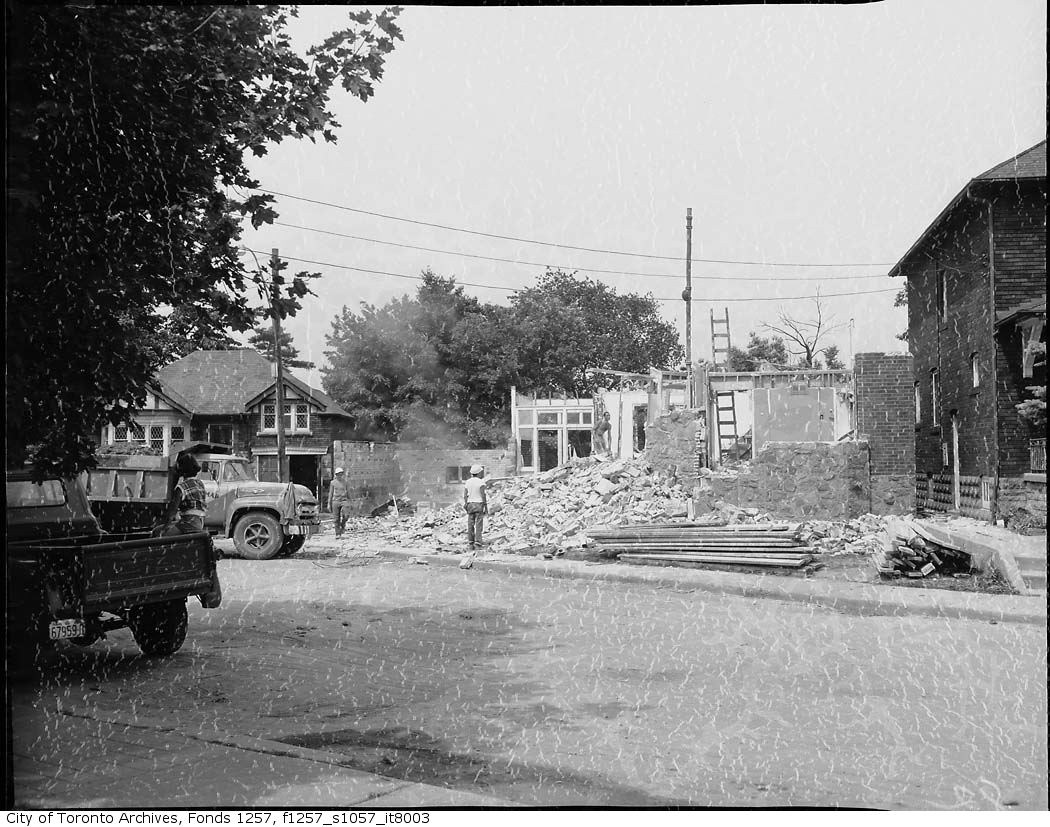
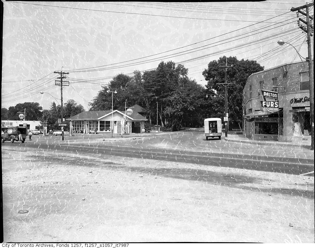
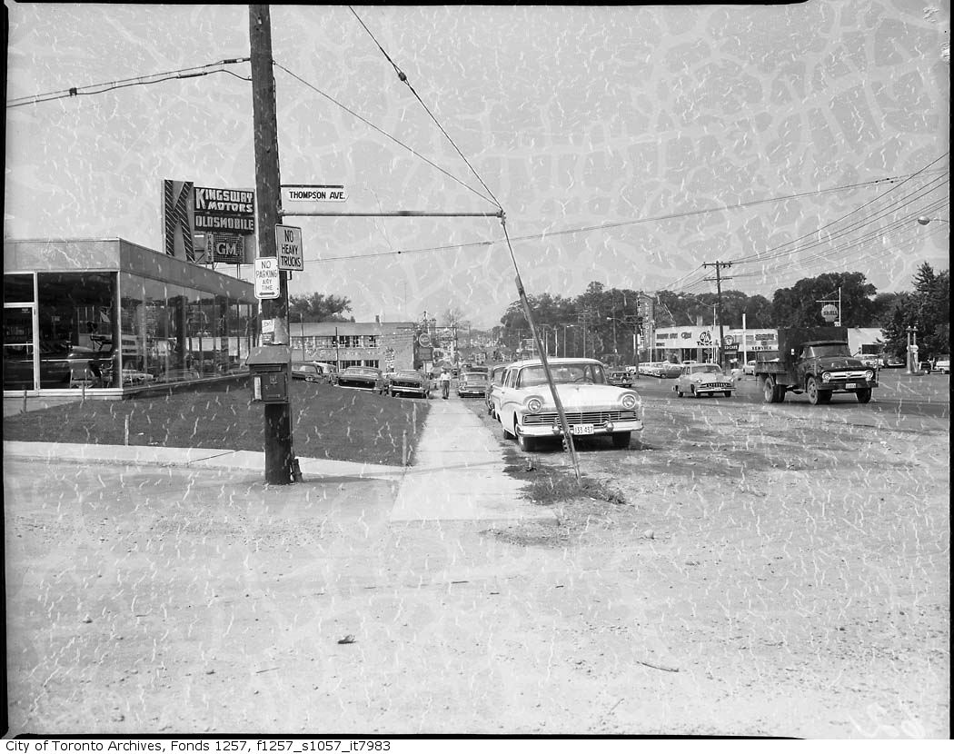
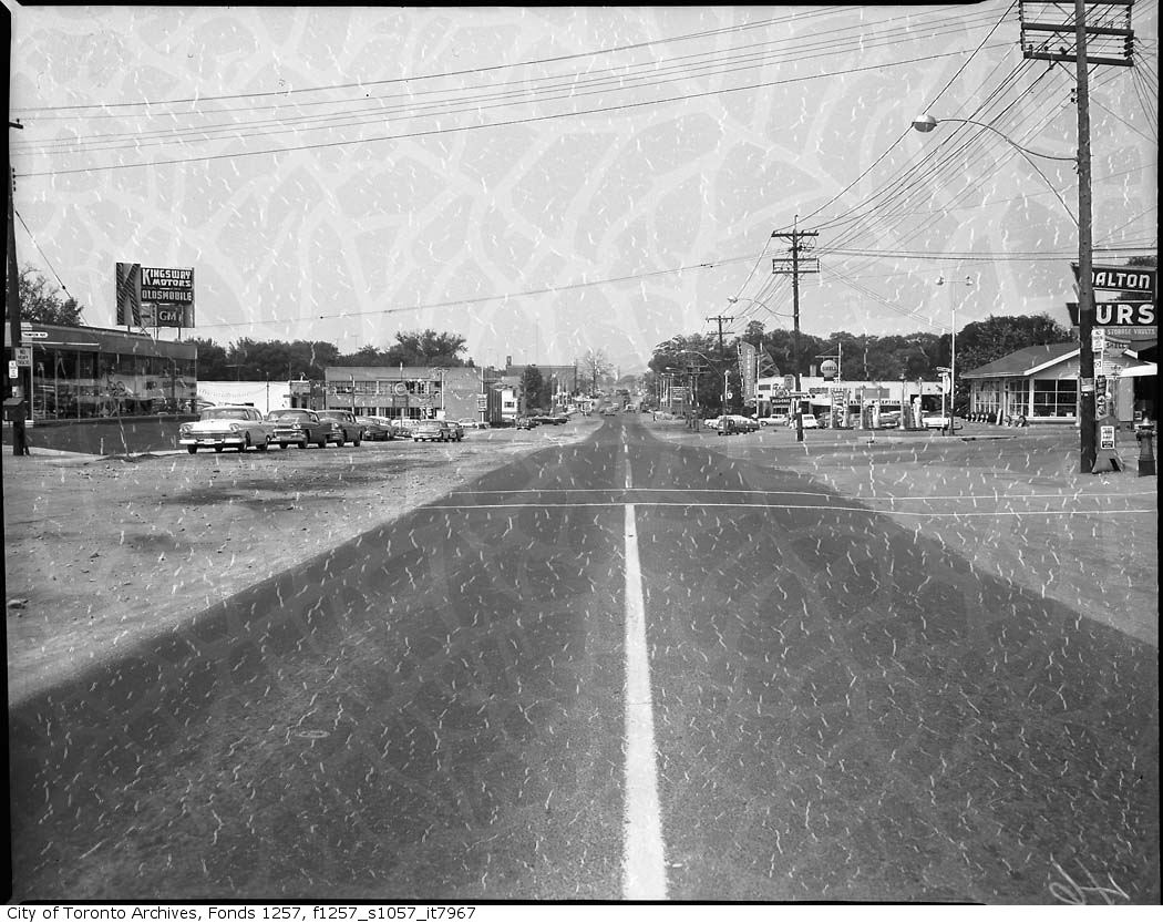
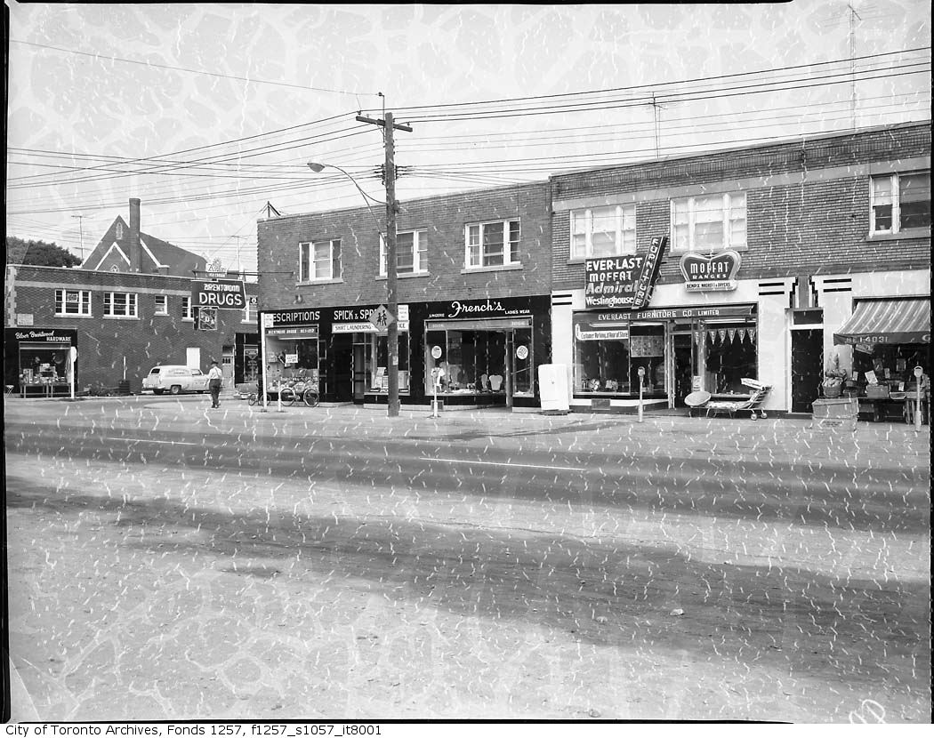
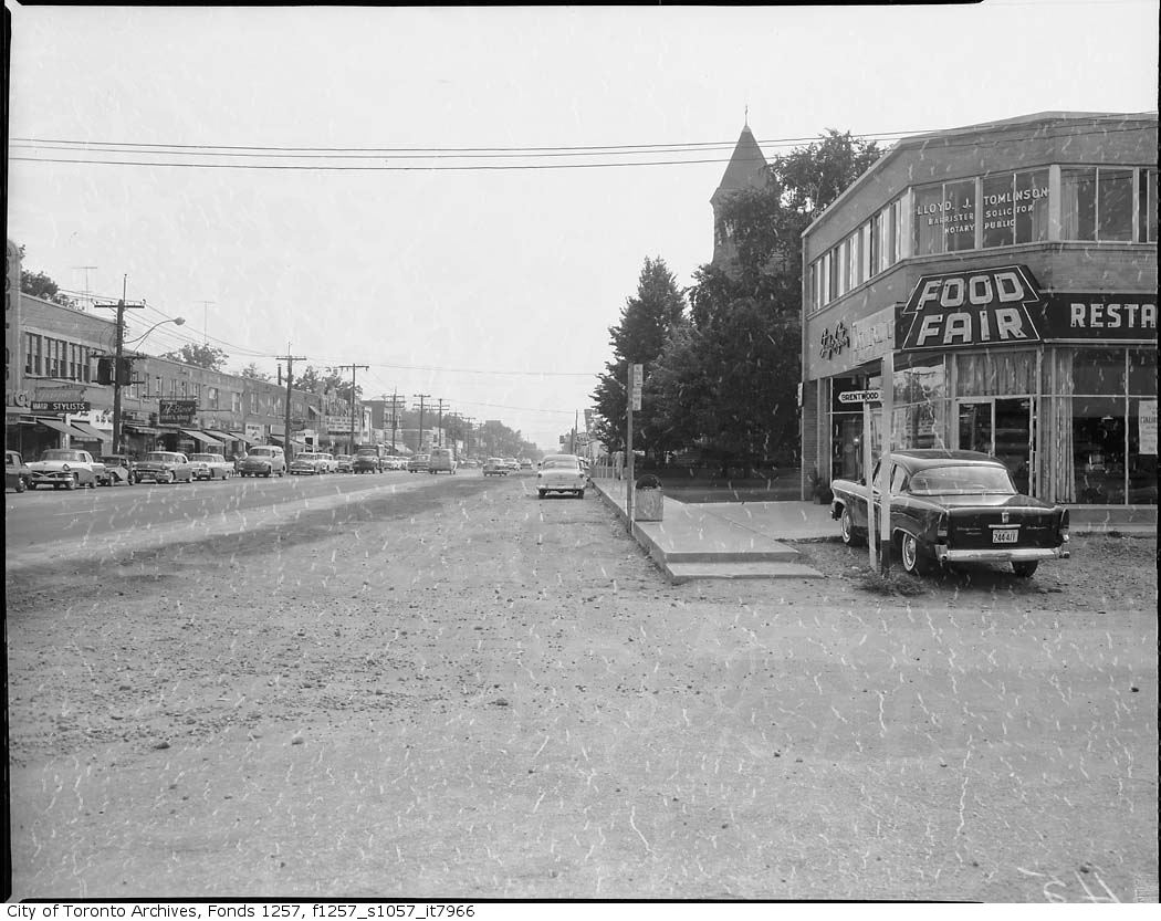
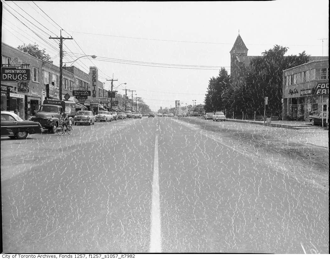
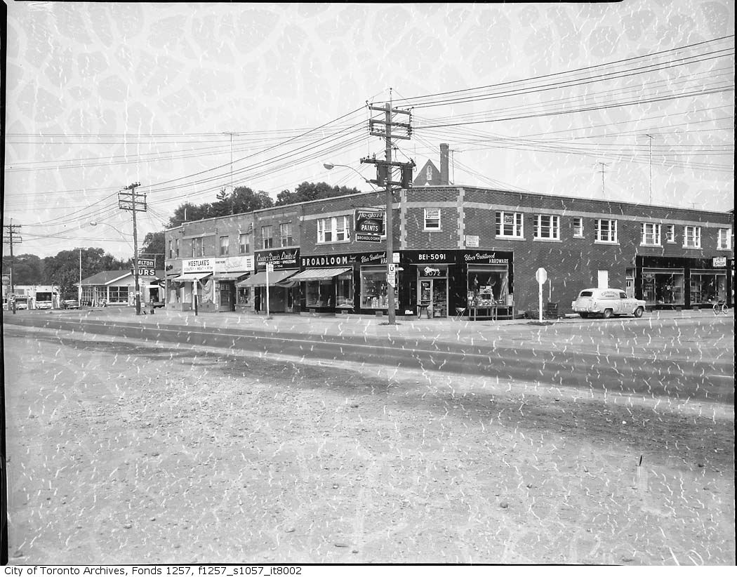
Photo locations are matched from each photo’s title against City street and address data, so some may be off. Report a wrong location