100 Charles St E
An address in Church-Wellesley, outside TRCA flood and shoreline hazard areas, with 9 active development applications within 250 metres.
Data as of Nov 8, 2026 · Every item lists its source
- Outside TRCA flood and shoreline hazard areas.
- 9 active development applications and 1 Committee of Adjustment application within 250 m.
01The building
Recent permits (1)
- HVAC: Other Group C Buildings · Closed - Dormant · Aug 22, 2002
Alter existing h.v.a.c. system. Permit initially issued under 590 Jarvis St but pertains to 100 Charles St. E. - (a convenience address at time of permit application but since a confirmed address) · Permit 02 160085 MSA
02Risks and the ground
TRCA mapping is for screening, not site-specific decisions. Lead results are voluntary samples from homes in the postal area, not this address.
03What’s changing nearby
- 190 Isabella St · 98 m · Site Plan · Under ReviewSite Plan Approval for proposed for a 69-storey mixed-use building having a gross floor area of 52,797 square metres and 837 dwelling units.File 22 153990 STE 13 SA · submitted May 30, 2022 · City record
- 2350 Bloor St E · 172 m · Site Plan · Under ReviewProposal to construct a 63-storey mixed-use building on the subject site. The existing six-storey office building will be replaced. Approximately 486 square metres of retail is proposed at grade, with approximately 8,259 square metres of…File 22 172659 STE 11 SA · submitted Jul 6, 2022 · City record
- 363 Huntley St · 220 m · Official Plan / Rezoning · Appeal ReceivedProposed Official Plan and Zoning By-law Amendment for 59-storey (west tower) and 48-storey (east tower) mixed-use buildings that will include: affordable rental units, rental replacement units, community spaces, retail, a daycare…File 21 227527 STE 13 OZ · submitted Oct 19, 2021 · City record
- 465 Huntley St · 222 m · Official Plan / Rezoning · Appeal ReceivedProposed Official Plan and Zoning By-law Amendment for 59-storey (west tower) and 48-storey (east tower) mixed-use buildings that will include: affordable rental units, rental replacement units, community spaces, retail, a daycare…File 21 227527 STE 13 OZ · submitted Oct 19, 2021 · City record
- 561 Huntley St · 233 m · Official Plan / Rezoning · Appeal ReceivedProposed Official Plan and Zoning By-law Amendment for 59-storey (west tower) and 48-storey (east tower) mixed-use buildings that will include: affordable rental units, rental replacement units, community spaces, retail, a daycare…File 21 227527 STE 13 OZ · submitted Oct 19, 2021 · City record
- 659 Huntley St · 237 m · Official Plan / Rezoning · Appeal ReceivedProposed Official Plan and Zoning By-law Amendment for 59-storey (west tower) and 48-storey (east tower) mixed-use buildings that will include: affordable rental units, rental replacement units, community spaces, retail, a daycare…File 21 227527 STE 13 OZ · submitted Oct 19, 2021 · City record
- 755 Huntley St · 241 m · Official Plan / Rezoning · Appeal ReceivedProposed Official Plan and Zoning By-law Amendment for 59-storey (west tower) and 48-storey (east tower) mixed-use buildings that will include: affordable rental units, rental replacement units, community spaces, retail, a daycare…File 21 227527 STE 13 OZ · submitted Oct 19, 2021 · City record
- 857 Huntley St · 242 m · Official Plan / Rezoning · Appeal ReceivedProposed Official Plan and Zoning By-law Amendment for 59-storey (west tower) and 48-storey (east tower) mixed-use buildings that will include: affordable rental units, rental replacement units, community spaces, retail, a daycare…File 21 227527 STE 13 OZ · submitted Oct 19, 2021 · City record
- 953 Huntley St · 246 m · Official Plan / Rezoning · Appeal ReceivedProposed Official Plan and Zoning By-law Amendment for 59-storey (west tower) and 48-storey (east tower) mixed-use buildings that will include: affordable rental units, rental replacement units, community spaces, retail, a daycare…File 21 227527 STE 13 OZ · submitted Oct 19, 2021 · City record
- 10235 Bloor St E · 144 m · Committee of Adjustment · Minor variance · RefusedTo alter the development standards, as approved under Site Specific Zoning By-laws 22769 and 325-82, for the existing 27-storey mixed-use building by reducing the building setbacks, increasing the residential dwelling units from 479 to…File A0664/26TEY · submitted Aug 31, 2026
Development Applications; Committee of Adjustment Applications · 17 registered short-term rentals within 250 m.
04City services
05Quick answers about 100 Charles St E
Is 100 Charles St E in a flood plain?
No. It is outside TRCA's mapped flood and shoreline hazard areas. Source: TRCA Regulation mapping 2025.
What is being built near 100 Charles St E?
9 active development applications within 250 metres, the closest at 90 Isabella St (98 m). Source: Development Applications.
Answers are generated from the data on this page and update when the data changes.
06From the archives
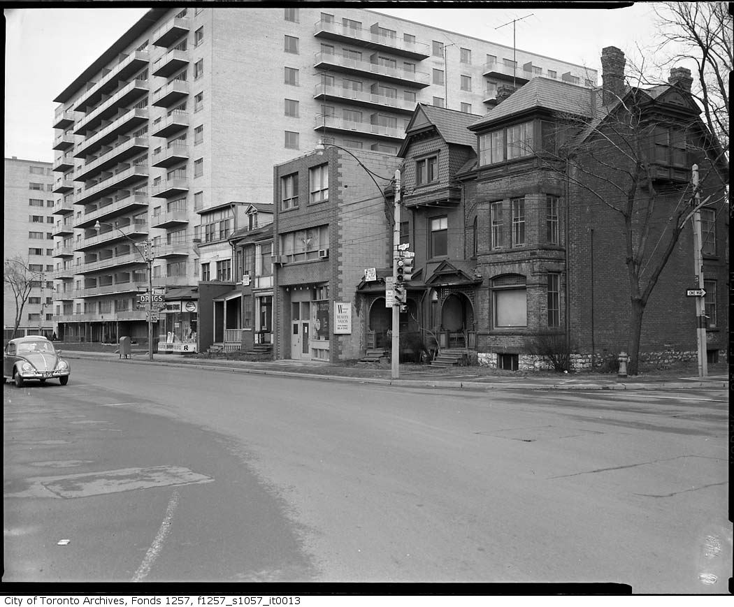


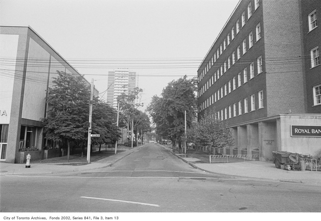
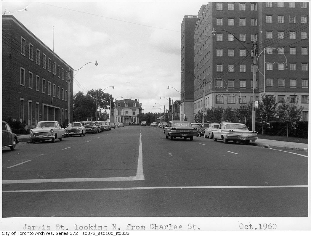
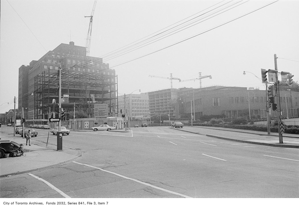
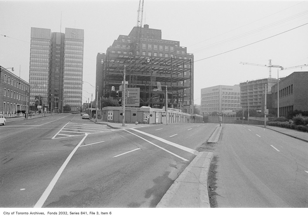

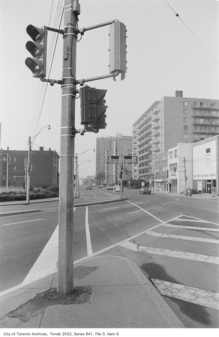
Photo locations are matched from each photo’s title against City street and address data, so some may be off. Report a wrong location