1069 Gerrard St E
An address in South Riverdale, outside TRCA flood and shoreline hazard areas, with 6 active development applications within 250 metres.
Data as of Nov 7, 2026 · Every item lists its source
- No fire code violations in open inspections.
- Outside TRCA flood and shoreline hazard areas.
- 6 active development applications and 3 Committee of Adjustment applications within 250 m.
01The building
02Risks and the ground
TRCA mapping is for screening, not site-specific decisions. Lead results are voluntary samples from homes in the postal area, not this address.
03What’s changing nearby
- 1413 Leslie St · 129 m · Site Plan · Under ReviewProposal for six detached dwellings and 4 semi-detached dwellings have a total residential gross floor area of 2,811 square metres.File 20 199761 STE 14 SA · submitted Sep 28, 2020 · City record
- 2413 Leslie St · 129 m · Official Plan / Rezoning · OMB ApprovedThe proposed development consists of eighteen (18) 4-storey townhouses comprising a total of 3,697 square metres on the subject site and a density of approximately 1.5 FSI. Each unit will contain three bedrooms and contain one parking…File 15 213190 STE 30 OZ · submitted Aug 26, 2015 · City record
- 3395 Leslie St · 160 m · Site Plan · Under ReviewProposal for six detached dwellings and 4 semi-detached dwellings have a total residential gross floor area of 2,811 square metres.File 20 199761 STE 14 SA · submitted Sep 28, 2020 · City record
- 4395 Leslie St · 160 m · Official Plan / Rezoning · OMB ApprovedThe proposed development consists of eighteen (18) 4-storey townhouses comprising a total of 3,697 square metres on the subject site and a density of approximately 1.5 FSI. Each unit will contain three bedrooms and contain one parking…File 15 213190 STE 30 OZ · submitted Aug 26, 2015 · City record
- 5387 R Leslie St · 188 m · Site Plan · Under ReviewProposal for six detached dwellings and 4 semi-detached dwellings have a total residential gross floor area of 2,811 square metres.File 20 199761 STE 14 SA · submitted Sep 28, 2020 · City record
- 6387 R Leslie St · 188 m · Official Plan / Rezoning · OMB ApprovedThe proposed development consists of eighteen (18) 4-storey townhouses comprising a total of 3,697 square metres on the subject site and a density of approximately 1.5 FSI. Each unit will contain three bedrooms and contain one parking…File 15 213190 STE 30 OZ · submitted Aug 26, 2015 · City record
- 7199 Jones Ave · 146 m · Committee of Adjustment · Consent (severance) · TLAB AppealTo obtain consent to sever the property into two undersized residential lots.File B0051/22TEY · submitted Jun 20, 2022
- 870 Marjory Ave · 218 m · Committee of Adjustment · Minor variance · ApprovedTo legalize and to maintain the existing rear one-storey addition which was constructed without a building permit.File A0040/16TEY · submitted Jan 15, 2016
- 9389 R Leslie St · 227 m · Committee of Adjustment · Minor variance · ClosedTo alter the existing one-storey detached garage at the rear of an existing two-storey semi-detached dwelling located at 387 Leslie Street by constructing a second storey addition and converting it into two laneway suites. The smaller…File A0270/19TEY · submitted Mar 18, 2019
Development Applications; Committee of Adjustment Applications · 15 registered short-term rentals within 250 m.
04City services
05Quick answers about 1069 Gerrard St E
Is 1069 Gerrard St E in a flood plain?
No. It is outside TRCA's mapped flood and shoreline hazard areas. Source: TRCA Regulation mapping 2025.
Does 1069 Gerrard St E have open fire code violations?
No. The City's fire inspection records show no violations in open inspections. Source: Residential Fire Inspection Results.
What is being built near 1069 Gerrard St E?
6 active development applications within 250 metres, the closest at 413 Leslie St (129 m). Source: Development Applications.
When is garbage day at 1069 Gerrard St E?
Collection calendar Thursday 1. Next garbage pickup: Nov 19, 2026. Source: Solid Waste Collection Schedule.
Answers are generated from the data on this page and update when the data changes.
06From the archives
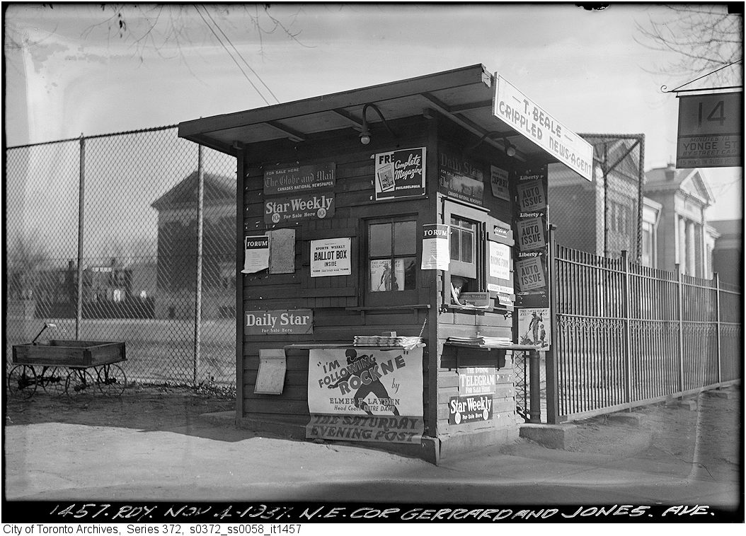
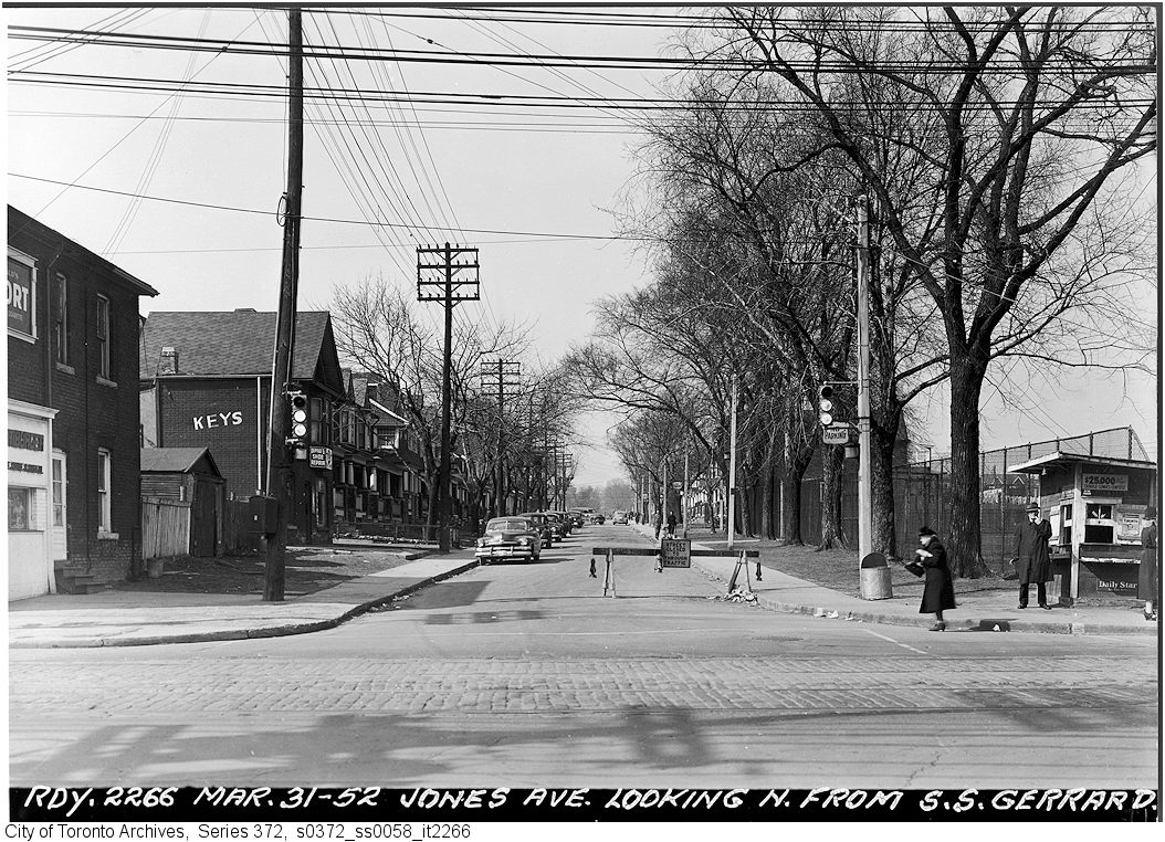

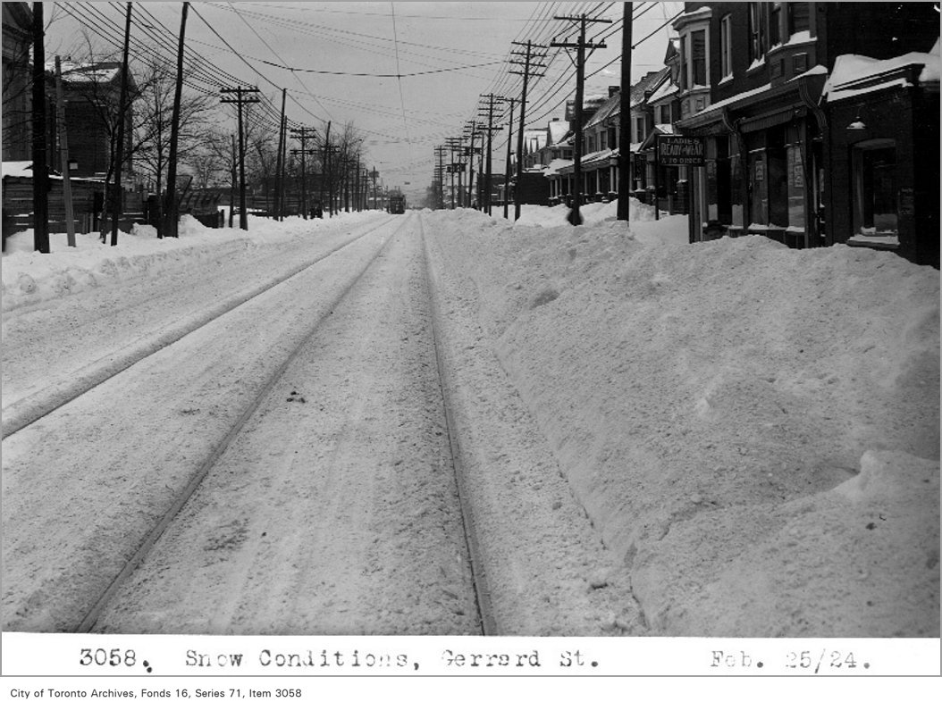
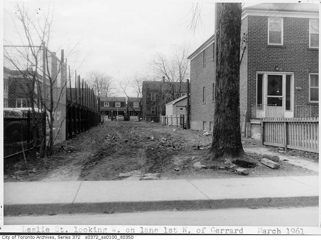
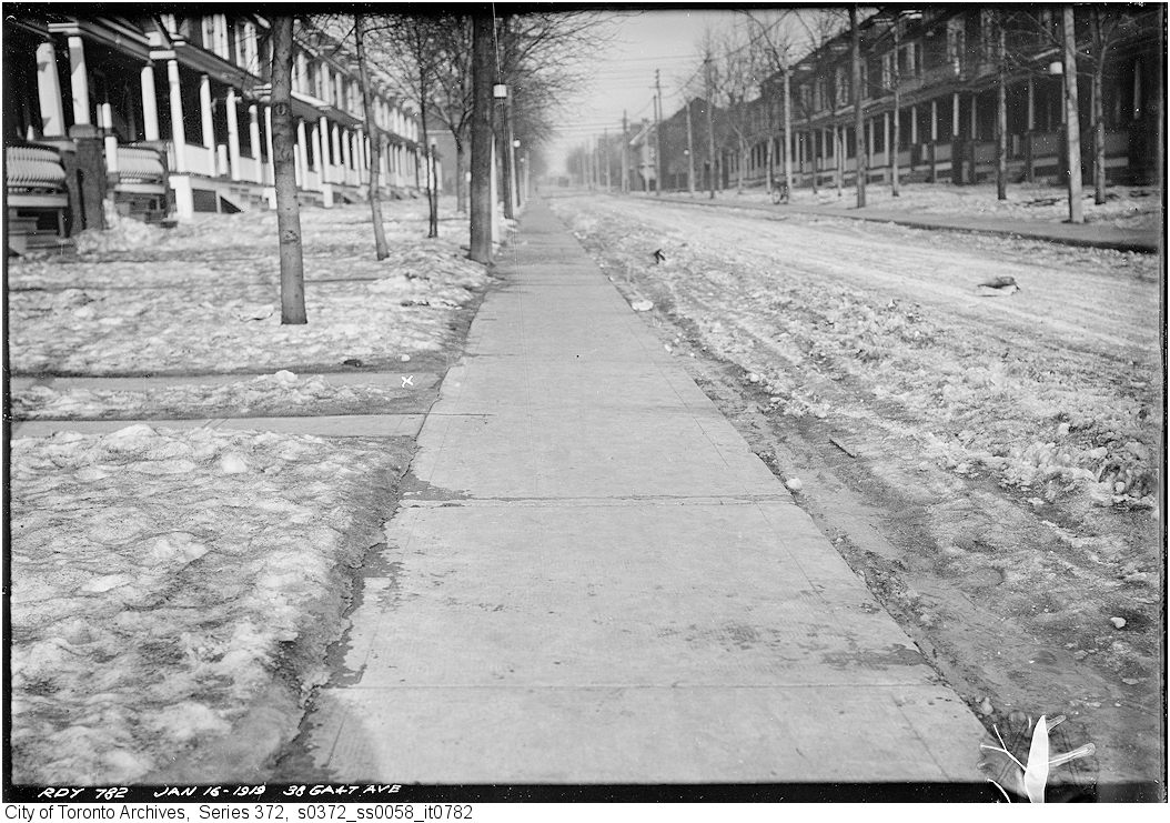
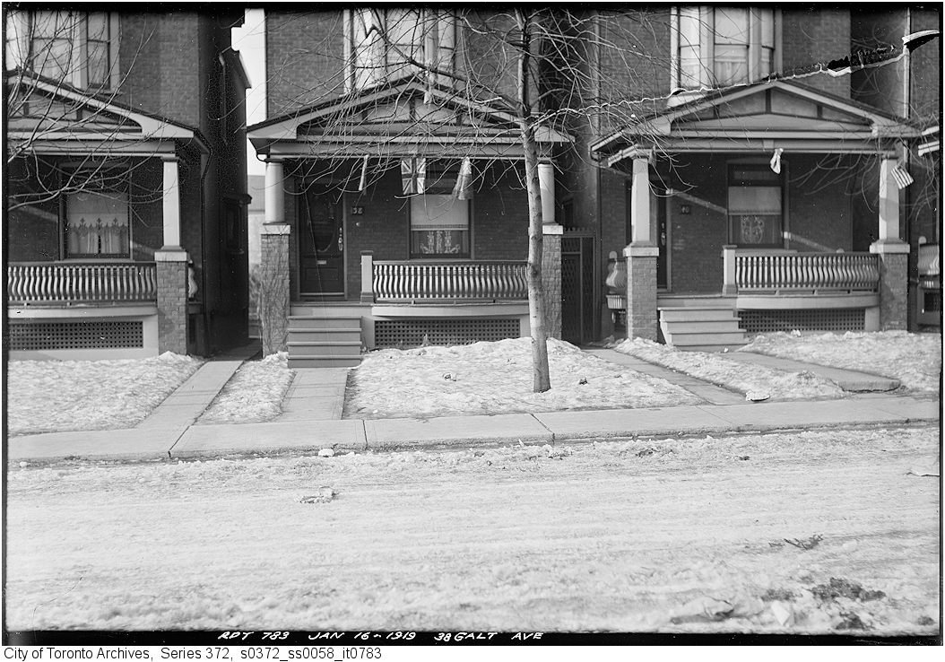

Photo locations are matched from each photo’s title against City street and address data, so some may be off. Report a wrong location