107 Redpath Ave
A registered apartment building built in 1955 with a RentSafe score of 95, outside TRCA flood and shoreline hazard areas, with 15 active development applications within 250 metres.
Data as of Nov 7, 2026 · Every item lists its source
- RentSafe evaluation score of 95 out of 100 (evaluated Jun 24, 2026).
- No fire code violations in open inspections.
- Outside TRCA flood and shoreline hazard areas.
- 15 active development applications and 1 Committee of Adjustment application within 250 m.
01The building
Recent permits (2)
- Other(MS) · Closed · Mar 24, 2025
Proposal to retrofitting 31 Suites to Heat Pump Operation as part of de carbonizing project. · Permit 24 230568 MSA - Fire Alarm · Closed · Apr 6, 2023
Proposal to replace the fire alarm panel in an existing apartment building. · Permit 23 131335 FSU
02Risks and the ground
TRCA mapping is for screening, not site-specific decisions. Lead results are voluntary samples from homes in the postal area, not this address.
03What’s changing nearby
- 1250 Roehampton Ave · 64 m · Official Plan / Rezoning · Under ReviewZoning By-law Amendment for a 59-storey residential building with a height of 190 m (excluding the mechanical penthouse). The proposed redevelopment consists of a total gross floor area (GFA) of 48,233.4 sq. m., which results in a total…File 25 263781 STE 12 OZ · submitted Dec 8, 2025 · City record
- 2247 Roehampton Ave · 82 m · Site Plan · Under ReviewSite Plan Approval for a 35-storey mixed-use building having a non-residential gross floor area of 1005 square metres, and a residential gross floor area of 31,514 square metres. 514 residential dwelling units are proposed.File 22 139121 STE 12 SA · submitted Apr 27, 2022 · City record
- 3247 Roehampton Ave · 82 m · Official Plan / Rezoning · OMB AppealZoning By-law Amendment for a 61-storey mixed-use building with a height of 197.05 metres (excluding the mechanical penthouse). The proposed building will include approximately 812 square metres of non-residential Gross Floor Area and…File 24 242404 STE 12 OZ · submitted Nov 22, 2024 · City record
- 4249 Roehampton Ave · 88 m · Official Plan / Rezoning · OMB AppealZoning By-law Amendment for a 61-storey mixed-use building with a height of 197.05 metres (excluding the mechanical penthouse). The proposed building will include approximately 812 square metres of non-residential Gross Floor Area and…File 24 242404 STE 12 OZ · submitted Nov 22, 2024 · City record
- 5249 Roehampton Ave · 88 m · Site Plan · Under ReviewSite Plan Approval for a 35-storey mixed-use building having a non-residential gross floor area of 1005 square metres, and a residential gross floor area of 31,514 square metres. 514 residential dwelling units are proposed.File 22 139121 STE 12 SA · submitted Apr 27, 2022 · City record
- 6251 Roehampton Ave · 99 m · Site Plan · Under ReviewSite Plan Approval for a 35-storey mixed-use building having a non-residential gross floor area of 1005 square metres, and a residential gross floor area of 31,514 square metres. 514 residential dwelling units are proposed.File 22 139121 STE 12 SA · submitted Apr 27, 2022 · City record
- 7251 Roehampton Ave · 99 m · Official Plan / Rezoning · OMB AppealZoning By-law Amendment for a 61-storey mixed-use building with a height of 197.05 metres (excluding the mechanical penthouse). The proposed building will include approximately 812 square metres of non-residential Gross Floor Area and…File 24 242404 STE 12 OZ · submitted Nov 22, 2024 · City record
- 8808 Mount Pleasant Rd · 103 m · Official Plan / Rezoning · OMB AppealZoning By-law Amendment for a 61-storey mixed-use building with a height of 197.05 metres (excluding the mechanical penthouse). The proposed building will include approximately 812 square metres of non-residential Gross Floor Area and…File 24 242404 STE 12 OZ · submitted Nov 22, 2024 · City record
- 9808 Mount Pleasant Rd · 103 m · Site Plan · Under ReviewSite Plan Approval for a 35-storey mixed-use building having a non-residential gross floor area of 1005 square metres, and a residential gross floor area of 31,514 square metres. 514 residential dwelling units are proposed.File 22 139121 STE 12 SA · submitted Apr 27, 2022 · City record
- 10808 Mount Pleasant Rd · 103 m · Subdivision · Under Review2 lotsFile 21 223673 STE 12 SB · submitted Oct 8, 2021 · City record
- 11140 Redpath Ave · 139 m · Subdivision · Under ReviewDraft Plan of Subdivision for the creation of 5 lots.File 21 213552 STE 12 SB · submitted Sep 16, 2021 · City record
- 12140 Redpath Ave · 139 m · Site Plan · Under ReviewSite Plan application to permit a 61-storey multi-tower mixed use building with a maximum gross floor area of 90,000 square metres, 201 parking spaces, 1,329 bicycle parking spaces, and a north-south midblock connection.File 22 132905 STE 12 SA · submitted Apr 11, 2022 · City record
Development Applications; Committee of Adjustment Applications · 45 registered short-term rentals within 250 m.
04City services
05Quick answers about 107 Redpath Ave
Is 107 Redpath Ave in a flood plain?
No. It is outside TRCA's mapped flood and shoreline hazard areas. Source: TRCA Regulation mapping 2025.
Does 107 Redpath Ave have open fire code violations?
No. The City's fire inspection records show no violations in open inspections. Source: Residential Fire Inspection Results.
What is being built near 107 Redpath Ave?
15 active development applications within 250 metres, the closest at 250 Roehampton Ave (64 m). Source: Development Applications.
When is garbage day at 107 Redpath Ave?
Collection calendar Wednesday 2. Next garbage pickup: Nov 11, 2026. Source: Solid Waste Collection Schedule.
Answers are generated from the data on this page and update when the data changes.
06From the archives
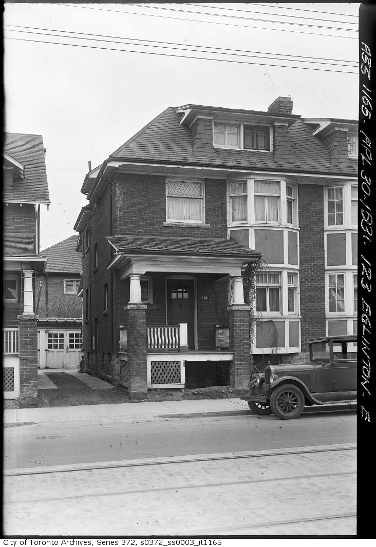
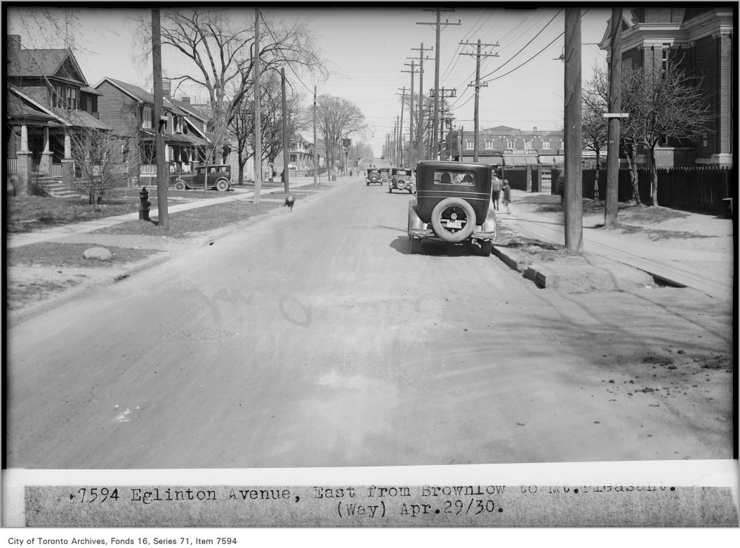
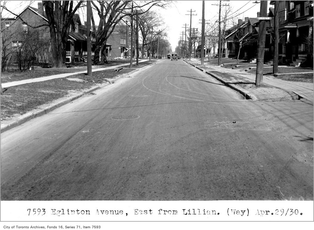
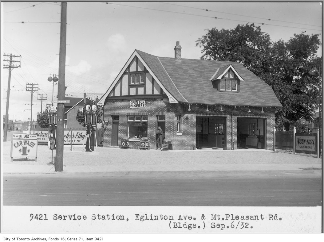
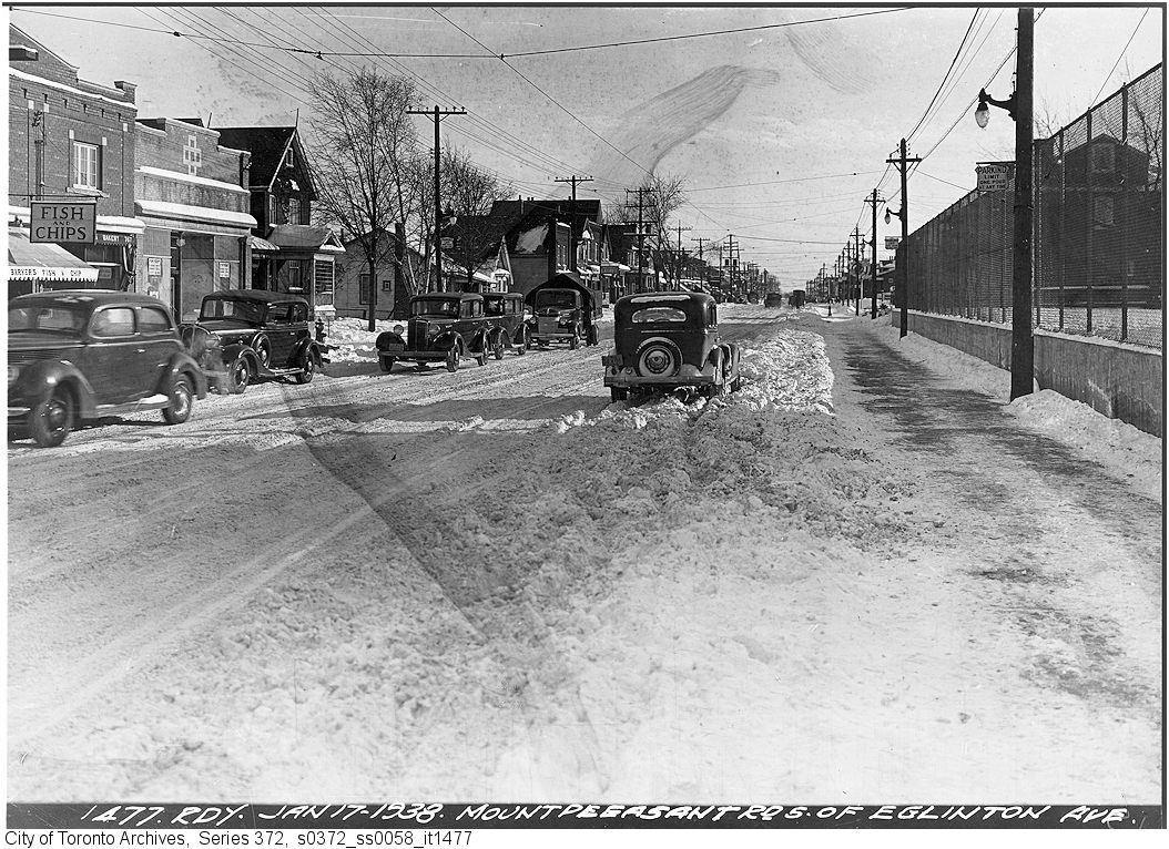
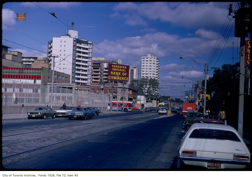
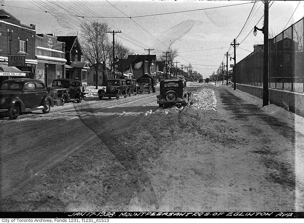
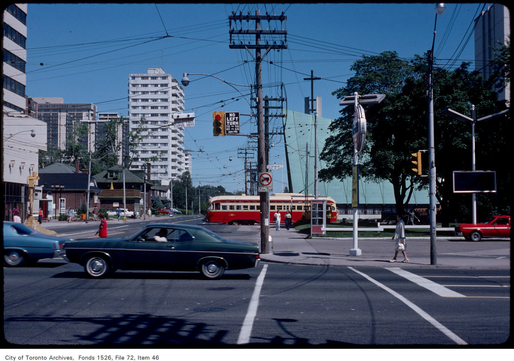
Photo locations are matched from each photo’s title against City street and address data, so some may be off. Report a wrong location