107 Walnut Ave
107 Walnut Ave is in West Queen West. It's outside TRCA flood hazard areas, with 17 planning applications within 250 metres.
Data as of Nov 8, 2026 · Every item lists its source
- Outside TRCA flood and shoreline hazard areas.
- 13 active development applications and 4 Committee of Adjustment applications within 250 m.
03The building
Most recent permits (2 of 2)
- Party Wall Admin Permits · Closed · Oct 2, 2015
Party wall Admin Permit in conjunction with work at 109 Walnut Ave. Refer to Permit 15 230746 · Permit 15 230769 BLD - Interior Alterations · Inspection · Sep 28, 2006
Make interior alterations only to existing 2 family dwelling · Permit 06 174324 BLD
04Risks and the ground
TRCA mapping is for screening, not site-specific decisions. Lead results are voluntary samples from homes in the postal area, not this address.
01What’s changing nearby
- 1191 Niagara St · 53 m awayCommittee of Adjustment · Minor varianceTo alter the existing one-storey commercial building by constructing complete second, third, and fourth storey additions with rear decks and a rooftop common amenity space. A total of 3 parallel parking spaces will be provided on-site.File A1082/23TEY · submitted Dec 22, 2023
- 2230 Niagara St · 76 m awaySite PlanTo permit a 3-storey non-residential building having a non-residential gross floor area of 1,458 square metres.File 20 210255 STE 10 SA · submitted Oct 23, 2020 · City record
- 315 Stanley Ave · 129 m awayCommittee of Adjustment · Consent (severance)To obtain consent to sever the property into two undersized residential lots.File B0096/17EYK · submitted Oct 23, 2017
- 4788 King St W · 133 m awayOfficial Plan / RezoningZoning By-law amendment to facilitate the redevelopment of the site for an 18-storey mixed-use building having a non-residential gross floor area of 714 square metres, and a residential gross floor area of 24,126 square metres. 373…File 21 237249 STE 10 OZ · submitted Nov 12, 2021 · City record
- 5788 King St W · 133 m awaySite PlanSite Plan Control application for an 18-storey mixed use building with 714 square metres of grade related retail and 342 residential units above covering a total gross floor area of 24,840 square metres. Related rezoning application (21…File 23 187462 STE 10 SA · submitted Aug 11, 2023 · City record
- 6786 King St W · 142 m awaySite PlanSite Plan Control application for an 18-storey mixed use building with 714 square metres of grade related retail and 342 residential units above covering a total gross floor area of 24,840 square metres. Related rezoning application (21…File 23 187462 STE 10 SA · submitted Aug 11, 2023 · City record
- 7786 King St W · 142 m awayOfficial Plan / RezoningZoning By-law amendment to facilitate the redevelopment of the site for an 18-storey mixed-use building having a non-residential gross floor area of 714 square metres, and a residential gross floor area of 24,126 square metres. 373…File 21 237249 STE 10 OZ · submitted Nov 12, 2021 · City record
- 8782 King St W · 148 m awayOfficial Plan / RezoningZoning By-law amendment to facilitate the redevelopment of the site for an 18-storey mixed-use building having a non-residential gross floor area of 714 square metres, and a residential gross floor area of 24,126 square metres. 373…File 21 237249 STE 10 OZ · submitted Nov 12, 2021 · City record
- 9782 King St W · 148 m awaySite PlanSite Plan Control application for an 18-storey mixed use building with 714 square metres of grade related retail and 342 residential units above covering a total gross floor area of 24,840 square metres. Related rezoning application (21…File 23 187462 STE 10 SA · submitted Aug 11, 2023 · City record
- 10780 King St W · 152 m awaySite PlanSite Plan Control application for an 18-storey mixed use building with 714 square metres of grade related retail and 342 residential units above covering a total gross floor area of 24,840 square metres. Related rezoning application (21…File 23 187462 STE 10 SA · submitted Aug 11, 2023 · City record
- 11780 King St W · 152 m awayOfficial Plan / RezoningZoning By-law amendment to facilitate the redevelopment of the site for an 18-storey mixed-use building having a non-residential gross floor area of 714 square metres, and a residential gross floor area of 24,126 square metres. 373…File 21 237249 STE 10 OZ · submitted Nov 12, 2021 · City record
- 12778 King St W · 163 m awayOfficial Plan / RezoningZoning By-law amendment to facilitate the redevelopment of the site for an 18-storey mixed-use building having a non-residential gross floor area of 714 square metres, and a residential gross floor area of 24,126 square metres. 373…File 21 237249 STE 10 OZ · submitted Nov 12, 2021 · City record
Development Applications; Committee of Adjustment Applications; Short Term Rentals Registration.
02City services
05Quick answers about 107 Walnut Ave
Is 107 Walnut Ave in a flood plain?
No. It is outside TRCA's mapped flood and shoreline hazard areas. Source: TRCA Regulation mapping 2025.
What is being built near 107 Walnut Ave?
13 active development applications within 250 metres, the closest at 230 Niagara St (76 m). Source: Development Applications.
When is garbage day at 107 Walnut Ave?
Collection calendar Tuesday 2. Next garbage pickup: Nov 10, 2026. Source: Solid Waste Collection Schedule.
Answers are generated from the data on this page and update when the data changes.
06From the archives
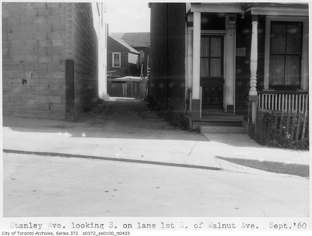
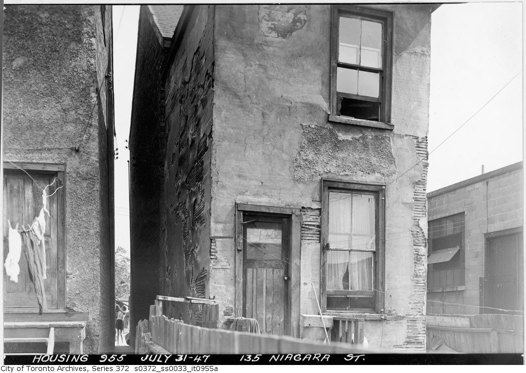
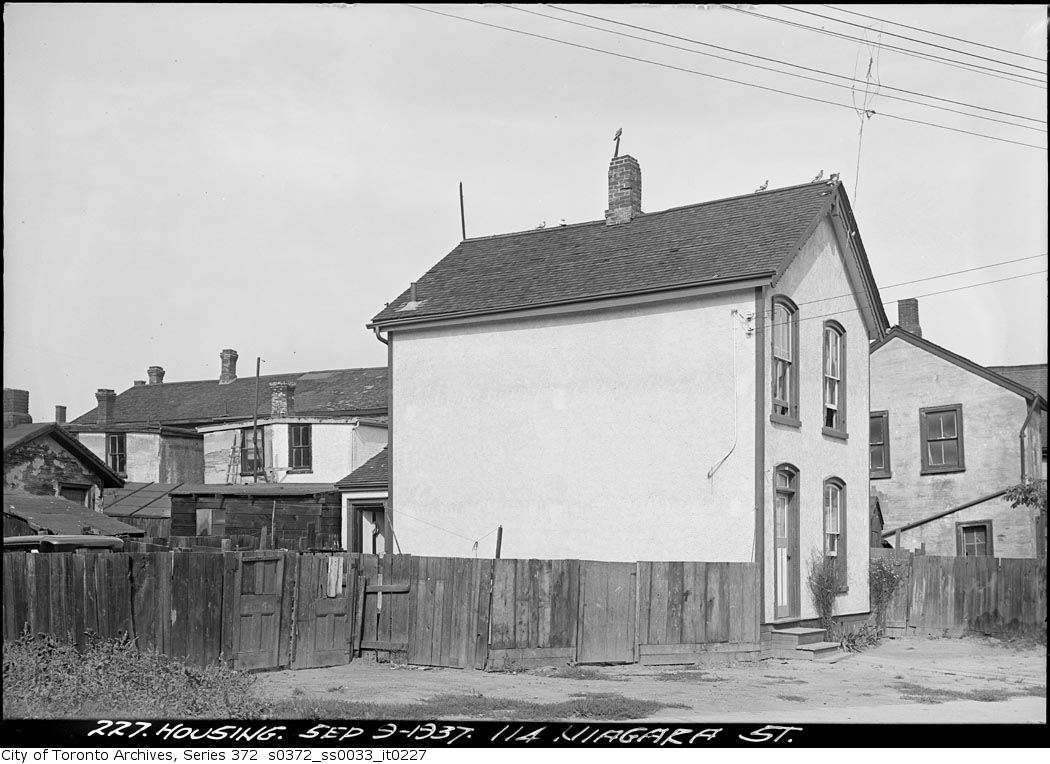
Photo locations are matched from each photo’s title against City street and address data, so some may be off. Report a wrong location