Skip to content
My Address in Toronto
Address report

1186 Queen St E

An address in South Riverdale, outside TRCA flood and shoreline hazard areas, with no active development applications within 250 metres.

Data as of Nov 8, 2026 · Every item lists its source

Follow this address
Key findings
  • Outside TRCA flood and shoreline hazard areas.
  • 0 active development applications and 3 Committee of Adjustment applications within 250 m.
RentSafe score—not a registered apartment building
Fire code violations—no inspection records
Applications3active within 250 m
Flood hazardOutsideTRCA mapping
Berkshire AveLarchmount AveWinnifred AveCaroline AveHastings AveSears StBrick CrtLaing StAlton AveCurzon StBertmount AveRushbrooke AveJones AveLeslie StLouvain AveBrooklyn AveQueen St EEastern Ave123Map data: City of Toronto (Toronto Centreline)
The red circle shows the 250-metre radius used for “Nearby” items. Numbers match the applications listed below.

01The building

ItemFindingPrecisionSource · as of
RentSafe evaluationNot a registered apartment buildingThis addressApartment Building Evaluation
Fire code inspectionsNo inspection recordsThis addressResidential Fire Inspection Results
Building orders and noticesNone on recordThis addressBuilding Construction/Demolition Violations
Building permits, last 5 years1 permitThis addressBuilding Permits · 1 on record
Short-term rentalNot registeredThis addressShort Term Rentals Registration
Heritage statusNot on the Heritage RegisterThis addressHeritage Register
Recent permits (1)
  • Other(BA) · Permit Issued · Jan 25, 2024
    Admin partywall permit in conjunction with 22 156653 BLD, 1184 Queen St E · Permit 23 135854 BLD

02Risks and the ground

ItemFindingPrecisionSource · as of
River flood hazardOutsideThis addressTRCA Regulation mapping 2025
Lake shoreline hazardOutsideThis addressTRCA Regulation mapping 2025
TRCA regulated areaOutsideThis addressTRCA Regulation mapping 2025
Basement flooding study areaBFA32Your areaBasement Flooding Study Areas · the City divides all of Toronto into study areas; this names yours, not a risk level
Lead in tap water samples, postal area M4M10 of 357 above 0.01 ppmYour area · M4MNon Regulated Lead Sample · Jan 8, 2014 to Oct 5, 2026

TRCA mapping is for screening, not site-specific decisions. Lead results are voluntary samples from homes in the postal area, not this address.

03What’s changing nearby

  1. 1
    17 Curzon St · 60 m · Committee of Adjustment · Minor variance · Hearing Scheduled
    To alter the existing two-storey detached dwelling by constructing a rear two-storey addition, a front second storey addition, a full third storey addition with front and rear balconies, and a rear exterior staircase to the third storey.
    File A0506/20TEY · submitted Jun 12, 2020
  2. 2
    45 Jones Ave · 125 m · Committee of Adjustment · Minor variance · TLAB Appeal
    To legalize and maintain the existing rear two-storey addition, including a basement extension below with a walkout, a rear second floor balcony (above the garage), and side (north) exterior staircases (one leading to the ground level and…
    File A0594/25TEY · submitted Jul 22, 2025
  3. 3
    50 Jones Ave · 186 m · Committee of Adjustment · Minor variance · Closed
    The convert the existing one-storey detached garage in rear of the existing three-storey semi-detached dwelling into a two-storey laneway suite by constructing a second storey addition.
    File A0803/19TEY · submitted Jul 24, 2019

Development Applications; Committee of Adjustment Applications · 6 registered short-term rentals within 250 m.

04City services

ItemFindingPrecisionSource · as of
Garbage dayNovember 19, 2026This addressCollection calendar Thursday 1
Next recyclingNovember 12, 2026This addressSolid Waste Collection Schedule
City councillorPaula FletcherWard 14councillor_fletcher@toronto.ca · 416-392-4060

05Quick answers about 1186 Queen St E

Is 1186 Queen St E in a flood plain?

No. It is outside TRCA's mapped flood and shoreline hazard areas. Source: TRCA Regulation mapping 2025.

What is being built near 1186 Queen St E?

0 active development applications within 250 metres. Source: Development Applications.

When is garbage day at 1186 Queen St E?

Collection calendar Thursday 1. Next garbage pickup: Nov 19, 2026. Source: Solid Waste Collection Schedule.

Answers are generated from the data on this page and update when the data changes.

06From the archives

Jones Ave & Queen St. E 1986
Jones Ave & Queen St. E 1986 , 1986. Courtesy of Toronto Public Library. 96 m away.
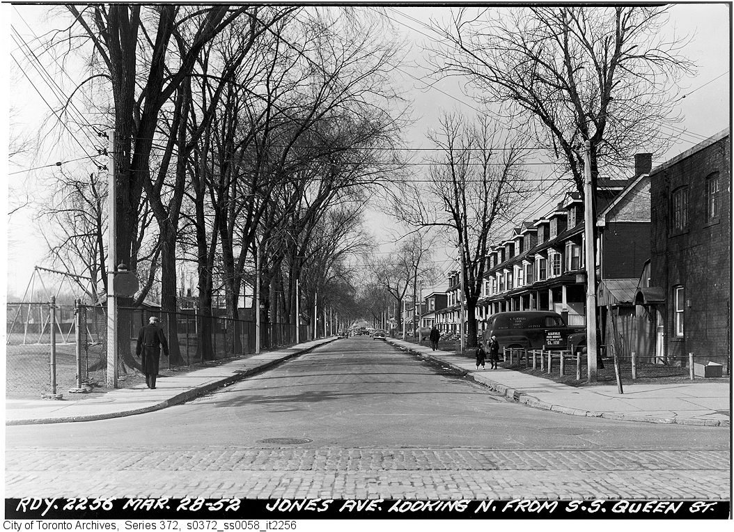
Jones Avenue looking north from Queen Street
Jones Avenue looking north from Queen Street, 1952. City of Toronto Archives, Fonds 200, Series 372, Subseries 58, Item 2256. 96 m away.
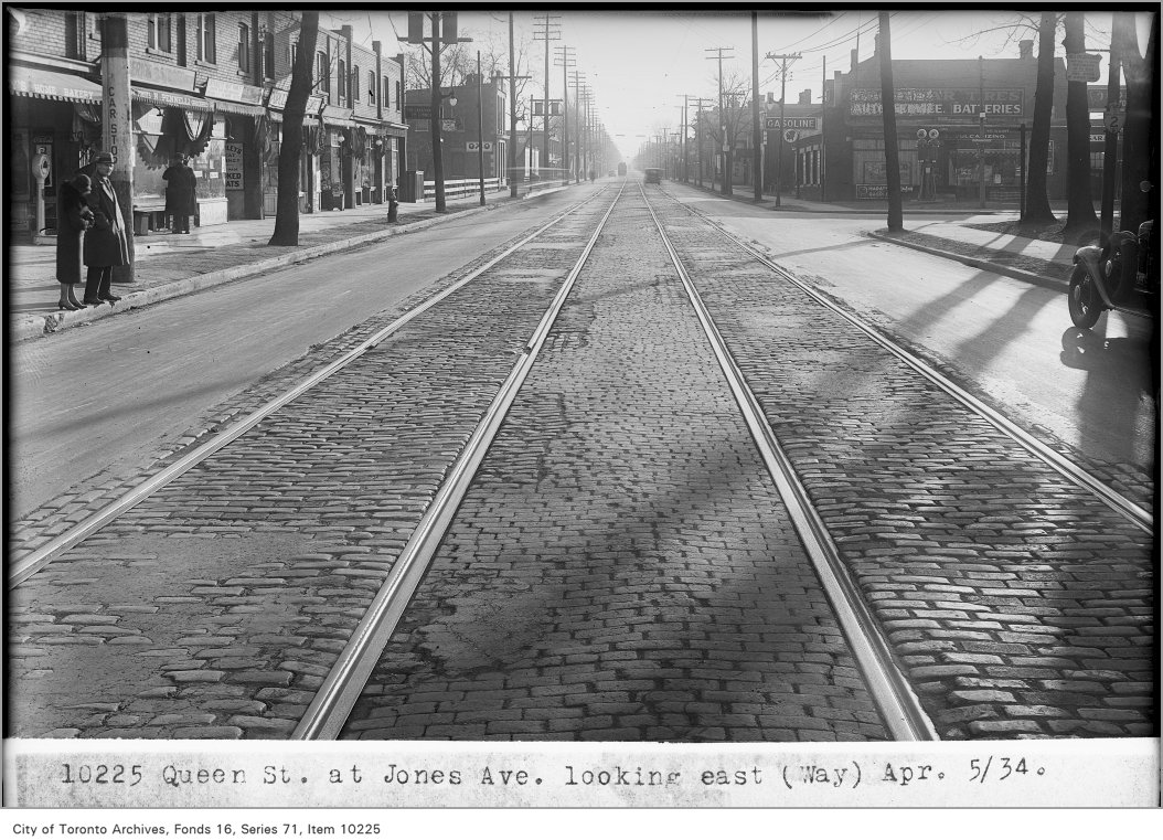
Queen Street, east at Jones, (Way Department)
Queen Street, east at Jones, (Way Department), 1934. City of Toronto Archives, Fonds 16, Series 71, Item 10225. 96 m away.
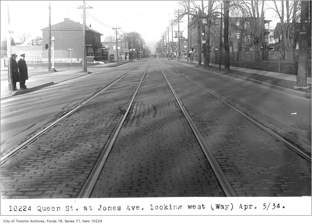
Queen St, at Jones Ave, looking west, (Way Department)
Queen St, at Jones Ave, looking west, (Way Department), 1934. City of Toronto Archives, Fonds 16, Series 71, Item 10224. 96 m away.
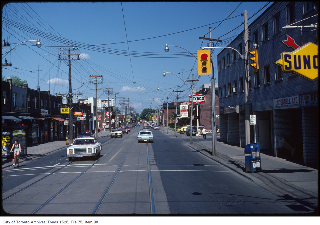
View of Queen Street East at Jones Avenue
View of Queen Street East at Jones Avenue, 1981. City of Toronto Archives, Fonds 1526, File 75, Item 98. 96 m away.
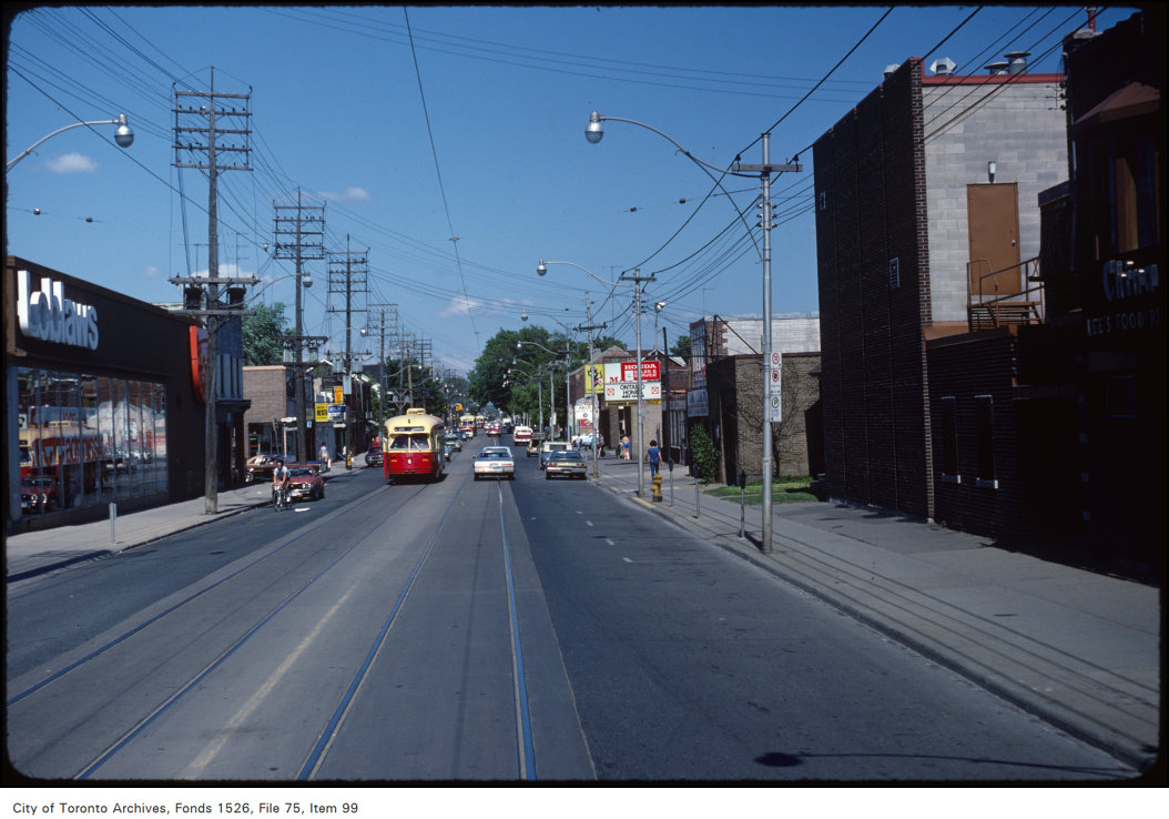
View of Queen Street East at Leslie Street
View of Queen Street East at Leslie Street, 1981. City of Toronto Archives, Fonds 1526, File 75, Item 99. 127 m away.
St. Joseph's Roman Catholic Church, Leslie St., w. side, between Queen & Dundas Sts. E.
St. Joseph's Roman Catholic Church, Leslie St., w. side, between Queen & Dundas Sts. E. , 1880. Courtesy of Toronto Public Library. 217 m away.
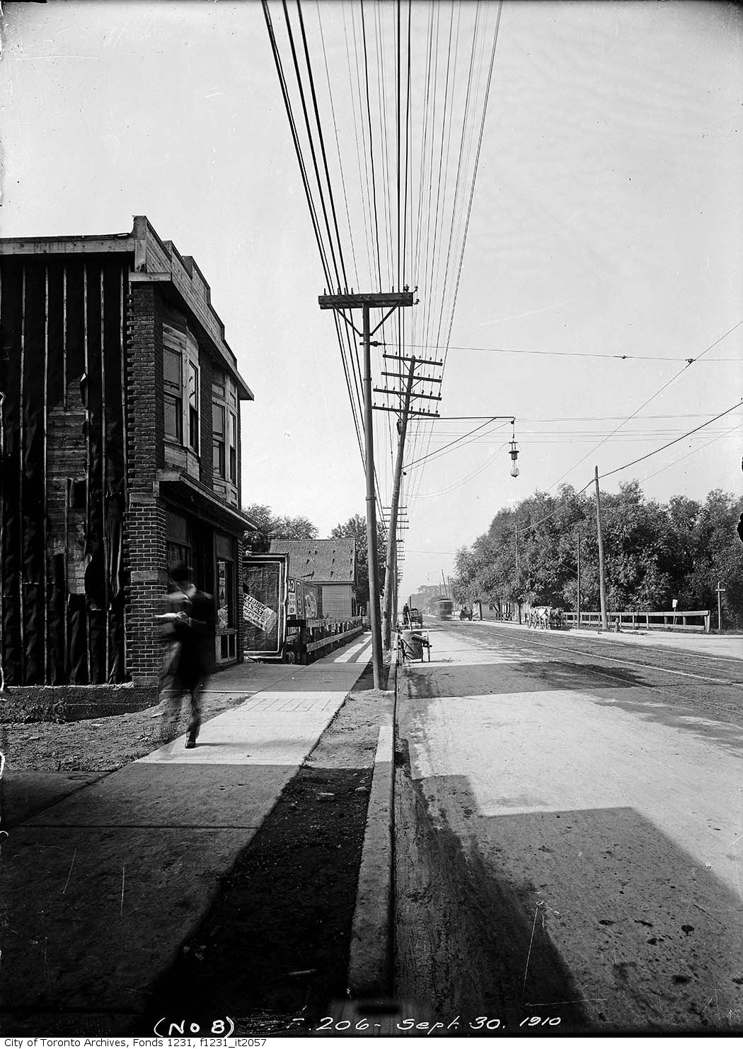
Queen Street east at Hastings Avenue
Queen Street east at Hastings Avenue, 1910. City of Toronto Archives, Fonds 1231, Item 2057. 227 m away.

Photo locations are matched from each photo’s title against City street and address data, so some may be off. Report a wrong location

1186 Queen St E, Toronto — address report · My Address in Toronto