137 Dundas St E
137 Dundas St E is in Downtown Yonge East. It's outside TRCA flood hazard areas and there are 17 planning applications nearby (15 under review, two approved).
Data as of Nov 8, 2026 · Every item lists its source
- Outside TRCA flood hazard areas.
- 17 planning applications within 250 m: 15 under review, two approved.
04The building
0 building permits in the last 5 years. Permits show work the City approved; they don't show work done without a permit.
It isn't listed or designated on the City's Heritage Register.
Permit history: 1 project from 3 permits
- Interior Alterations · completed Apr 10, 2018
Convert an existing vacant store into a dental office · 3 permits in this project (such as building, plumbing and heating) · Permit 17 110643
05Risks and environment
TRCA's maps show this address is outside the areas that could flood from rivers in a major storm (TRCA plans for a storm like Hurricane Hazel in 1954) and outside lake shoreline hazards. Basement flooding from overloaded sewers can still happen anywhere in the city.
In postal area M5B, 0 of 17 home tap-water samples (0%) tested above Ontario's limit for lead (10 micrograms per litre). That's too few samples to compare with the rest of the city. Health Canada recommends a stricter limit of 5 micrograms per litre: 1 samples here (5.9%) were above it. These are voluntary tests, mostly from older homes, so they don't tell you about this house. Lead comes from old pipes and plumbing, not the City's treatment plants. If your home was built before the mid-1950s, you can get a free test kit by calling 311.
Air Quality Health Index from Environment and Climate Change Canada's Toronto Downtown station, 2.7 km away, measured 1:00 PM EST Sunday 8 November 2026. Forecast high for the next 24 hours: 2 (low risk). The scale runs from 1 to 10+; 1 to 3 is low risk.
TRCA mapping is for screening, not site-specific decisions. Lead results are voluntary samples from homes in the postal area, not this address.
01What’s changing nearby
17 active planning applications within 250 m (about a 3-minute walk): 15 under review, two approved. That's more than at 9 in 10 Toronto addresses.
- 1295 Jarvis St · 75 m awaySite Plan: City review of the design and layout of a new building
City planners are reviewing it. Residents can comment before a decision is made.
Proposal to facilitate the redevelopment of the site with a 60-storey residential building with a 9-storey podium along Jarvis Street. Overall, the proposal consists of a total of 44,530 square metres of gross floor area. The proposed…File 22 229719 STE 13 SA · submitted Nov 15, 2022 · City record - 2311 George St · 141 m awayOfficial Plan / Rezoning: a request to change the Official Plan or zoning so something new can be built
City planners are reviewing it. Residents can comment before a decision is made.
Lift the Hold application related to a new 10-storey building, containing 80 emergency shelter beds, 100 transitional shelter beds, 124 long-term care beds, 70 supportive housing units, and a 2,269 square metre community hub. The proposal…File 25 239940 STE 13 OZ · submitted Oct 15, 2025 · City record - 3309 George St · 143 m awayOfficial Plan / Rezoning: a request to change the Official Plan or zoning so something new can be built
City planners are reviewing it. Residents can comment before a decision is made.
Lift the Hold application related to a new 10-storey building, containing 80 emergency shelter beds, 100 transitional shelter beds, 124 long-term care beds, 70 supportive housing units, and a 2,269 square metre community hub. The proposal…File 25 239940 STE 13 OZ · submitted Oct 15, 2025 · City record - 4315 George St · 174 m awayOfficial Plan / Rezoning: a request to change the Official Plan or zoning so something new can be built
City planners are reviewing it. Residents can comment before a decision is made.
Lift the Hold application related to a new 10-storey building, containing 80 emergency shelter beds, 100 transitional shelter beds, 124 long-term care beds, 70 supportive housing units, and a 2,269 square metre community hub. The proposal…File 25 239940 STE 13 OZ · submitted Oct 15, 2025 · City record - 5319 George St · 178 m awayOfficial Plan / Rezoning: a request to change the Official Plan or zoning so something new can be built
City planners are reviewing it. Residents can comment before a decision is made.
Lift the Hold application related to a new 10-storey building, containing 80 emergency shelter beds, 100 transitional shelter beds, 124 long-term care beds, 70 supportive housing units, and a 2,269 square metre community hub. The proposal…File 25 239940 STE 13 OZ · submitted Oct 15, 2025 · City record - 6325 George St · 179 m awayOfficial Plan / Rezoning: a request to change the Official Plan or zoning so something new can be built
City planners are reviewing it. Residents can comment before a decision is made.
Lift the Hold application related to a new 10-storey building, containing 80 emergency shelter beds, 100 transitional shelter beds, 124 long-term care beds, 70 supportive housing units, and a 2,269 square metre community hub. The proposal…File 25 239940 STE 13 OZ · submitted Oct 15, 2025 · City record - 7335 George St · 183 m awayOfficial Plan / Rezoning: a request to change the Official Plan or zoning so something new can be built
City planners are reviewing it. Residents can comment before a decision is made.
Lift the Hold application related to a new 10-storey building, containing 80 emergency shelter beds, 100 transitional shelter beds, 124 long-term care beds, 70 supportive housing units, and a 2,269 square metre community hub. The proposal…File 25 239940 STE 13 OZ · submitted Oct 15, 2025 · City record - 8339 George St · 184 m awayOfficial Plan / Rezoning: a request to change the Official Plan or zoning so something new can be built
City planners are reviewing it. Residents can comment before a decision is made.
Lift the Hold application related to a new 10-storey building, containing 80 emergency shelter beds, 100 transitional shelter beds, 124 long-term care beds, 70 supportive housing units, and a 2,269 square metre community hub. The proposal…File 25 239940 STE 13 OZ · submitted Oct 15, 2025 · City record - 9279 1/2 George St · 188 m awayCondominium: a request to divide a building into condominium units
City planners are reviewing it. Residents can comment before a decision is made.
*** Draft Plan of Condominium for 495 units.File 21 230230 STE 13 CD · submitted Oct 25, 2021 · City record - 10279 1/2 George St · 188 m awaySite Plan: City review of the design and layout of a new building
City planners are reviewing it. Residents can comment before a decision is made.
Site Plan Approval application for a 44-storey mixed-use building comprised of 32,829 square metres of gross floor area including 542 residential dwelling units.File 21 218559 STE 13 SA · submitted Sep 28, 2021 · City record - 11345 George St · 192 m awayOfficial Plan / Rezoning: a request to change the Official Plan or zoning so something new can be built
City planners are reviewing it. Residents can comment before a decision is made.
Lift the Hold application related to a new 10-storey building, containing 80 emergency shelter beds, 100 transitional shelter beds, 124 long-term care beds, 70 supportive housing units, and a 2,269 square metre community hub. The proposal…File 25 239940 STE 13 OZ · submitted Oct 15, 2025 · City record - 12349 George St · 200 m awayOfficial Plan / Rezoning: a request to change the Official Plan or zoning so something new can be built
City planners are reviewing it. Residents can comment before a decision is made.
Lift the Hold application related to a new 10-storey building, containing 80 emergency shelter beds, 100 transitional shelter beds, 124 long-term care beds, 70 supportive housing units, and a 2,269 square metre community hub. The proposal…File 25 239940 STE 13 OZ · submitted Oct 15, 2025 · City record
288 homes within 250 m are registered with the City as short-term rentals (stays of less than 28 days, like Airbnb). That's more than at almost all Toronto addresses.
5 licensed rooming houses within 250 m. Rooming houses rent individual rooms with shared kitchens or bathrooms; the City licenses them to enforce safety standards.
2 new storefront business licences within 250 m in the last 90 days: restaurant or bar (1) and vape shop (1).
New business licences nearby (2)
- Restaurant or bar · 229 Church St · 84 m · licensed Sep 4, 2026
- Vape shop · 200 Dundas St E · 172 m · licensed Sep 10, 2026
Development Applications; Committee of Adjustment Applications; Short Term Rentals Registration.
06Safety
Police recorded 989 major crimes within 500 m from Oct 2025 to Sep 2026: 738 assaults, 96 break-ins, 81 robberies, 51 thefts over $5,000 and 23 car thefts. Per resident, in Downtown Yonge East in 2025, assaults, break-ins, robberies and thefts over $5,000 were above the Toronto rate; car thefts were below it. Police place each incident at the nearest intersection, so these figures describe the area, not this address.
| Major crime | Within 500 m, 12 months | Downtown Yonge East, per 100,000 (2025) | Toronto |
|---|---|---|---|
| Assaults | 738 | 2361 above Toronto | 768 |
| Break-ins | 96 | 275 above Toronto | 190 |
| Car thefts | 23 | 76 below Toronto | 225 |
| Robberies | 81 | 143 above Toronto | 79 |
| Thefts over $5,000 | 51 | 100 above Toronto | 61 |
Toronto Police Service Public Safety Data Portal: Major Crime Indicators (Oct 1, 2025 to Sep 30, 2026) and Neighbourhood Crime Rates. Includes reported incidents only.
03Getting around
The nearest subway station is TMU Station (Line 1), about a 6-minute walk (0.4 km). Within a 5-minute walk there are 6 TTC stops served by routes 505, 501, 506 and 97, with about 2,798 departures on a typical weekday. The nearest GO train station is Union Station GO, 1.3 km away, with 354 train stops on a weekday.
TTC and GO Transit schedules for a typical weekday (Nov 11, 2026). Walking times are estimates.
07Schools and community
These are the closest public and Catholic schools by distance. They may not be the schools assigned to this address: school boards set their own attendance areas, so check with the Toronto District School Board or Toronto Catholic District School Board.
- St Michael's Choir (Jr) School · elementary · 208 mTCDSB · Catholic · grades 1-8 · 135 students. Grade 6 provincial tests: 100% met the standard in reading and 100% in math (Toronto schools: 87% and 54%).
- École élémentaire Gabrielle-Roy · elementary · 300 mViamonde (French public) · Public · grades JK-6 · 270 students. Grade 6 provincial tests: 100% met the standard in reading and 88% in math (Toronto schools: 87% and 54%).
- Collège français élémentaire · elementary · 639 mViamonde (French public) · Public · grades 7-8 · 75 students
- St Michael's Choir (Sr) School · secondary · 235 mTCDSB · Catholic · grades 9-12 · 105 students. 100% passed the Grade 10 literacy test on the first try (Toronto schools: 84%).
- Collège français secondaire · secondary · 670 mViamonde (French public) · Public · grades 9-12 · 155 students. 100% passed the Grade 10 literacy test on the first try (Toronto schools: 84%).
Private schools within 1 km: Taie International Institute School, Keystone International Schools, Le College Francais - Carlton Campus, National Ballet School - Margaret Mccain Acedemic Centre, National Ballet School and 4 more.
Ontario Ministry of Education, School Information and Student Demographics (2026); test results are EQAO results reported by the Ministry.
Within 500 m (about a 6-minute walk): four licensed child care centres, two EarlyON centres, two privately owned public spaces and five shelters or respite sites.
City of Toronto: Licensed Child Care Centres, EarlyON Child and Family Centres, POPS, and Daily Shelter Occupancy (Nov 6, 2026). Confidential shelter locations are not published.
08Your neighbourhood
See the full Downtown Yonge East neighbourhood page, with rankings →
Downtown Yonge East had 17,700 residents in 2021. The median household income was $69,500, lower than the typical Toronto neighbourhood ($85,000). 64% of households rent (typical neighbourhood: 46%). 49% of renters spend 30% or more of their income on housing. 27% of workers commuted by transit and 43% walked or cycled (typical neighbourhood: 26% and 5%). The most common first languages other than English and French are Mandarin (8.0%), Cantonese (3.7%) and Spanish (3.0%). Source: 2021 Census; the next census was taken in 2026.
In October 2025, the average rent for a two-bedroom in a purpose-built rental building in the former City of Toronto was $2,457, up 6% from a year earlier. Across Toronto: $2,055. 3.2% of these apartments were vacant. These are averages paid by all tenants, including long-term ones, across a large area; new listings usually cost more.
| Average rent, October 2025 | Former City of Toronto | Change in a year | City of Toronto |
|---|---|---|---|
| Studio | $1,526 | +2% | $1,499 |
| 1 bedroom | $1,914 | +4% | $1,763 |
| 2 bedrooms | $2,457 | +6% | $2,055 |
| 3 bedrooms or more | $3,195 | 0% | $2,361 |
Source: CMHC, Rental Market Survey (October 2025), purpose-built rental apartments. Adapted by My Address in Toronto.
02City services
09Quick answers about 137 Dundas St E
Is 137 Dundas St E in a flood plain?
No. TRCA maps it outside river flood and lake shoreline hazard areas. Basement flooding from sewers can still happen anywhere. Source: TRCA Regulation mapping 2025.
What is being built near 137 Dundas St E?
There are 17 active planning applications within 250 metres (15 under review, two approved). The closest is at 295 Jarvis St, 75 m away. Source: Development Applications; Committee of Adjustment Applications.
Has 137 Dundas St E been renovated?
Yes. The City has 3 building permits on record, 0 in the last 5 years. Source: Building Permits.
Is 137 Dundas St E a heritage property?
No. It isn't listed or designated on the City's Heritage Register. Source: Heritage Register.
How far is 137 Dundas St E from the subway?
The nearest station is TMU Station (Line 1), 0.4 km away (about a 6-minute walk). 6 TTC stops are within a 5-minute walk. Source: TTC and GO Transit schedules.
What schools are near 137 Dundas St E?
The closest are St Michael's Choir (Jr) School, École élémentaire Gabrielle-Roy and St Michael's Choir (Sr) School. These may not be the assigned schools; check with the school board. Source: Ontario Ministry of Education school information.
How much crime is there near 137 Dundas St E?
Police recorded 989 major crimes within 500 m from Oct 2025 to Sep 2026: 738 assaults, 96 break-ins, 81 robberies, 51 thefts over $5,000 and 23 car thefts. Per resident, in Downtown Yonge East in 2025, assaults, break-ins, robberies and thefts over $5,000 were above the Toronto rate; car thefts were below it. Police place each incident at the nearest intersection, so these figures describe the area, not this address. Source: Toronto Police Service.
Answers are generated from the data on this page and update when the data changes.
10From the archives
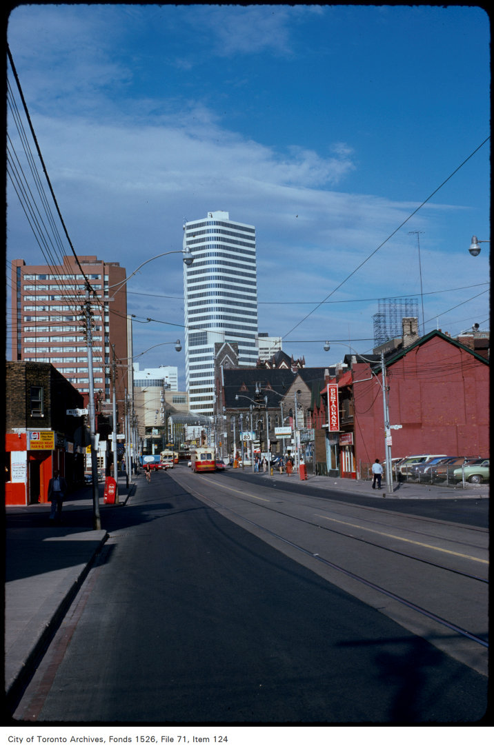
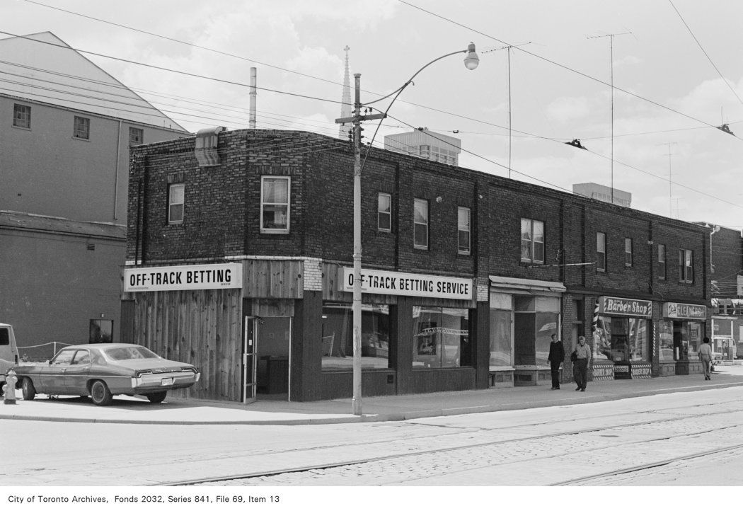
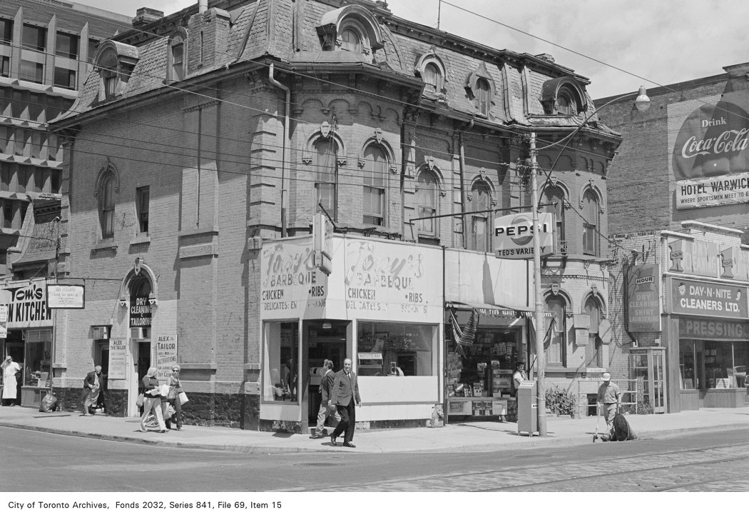
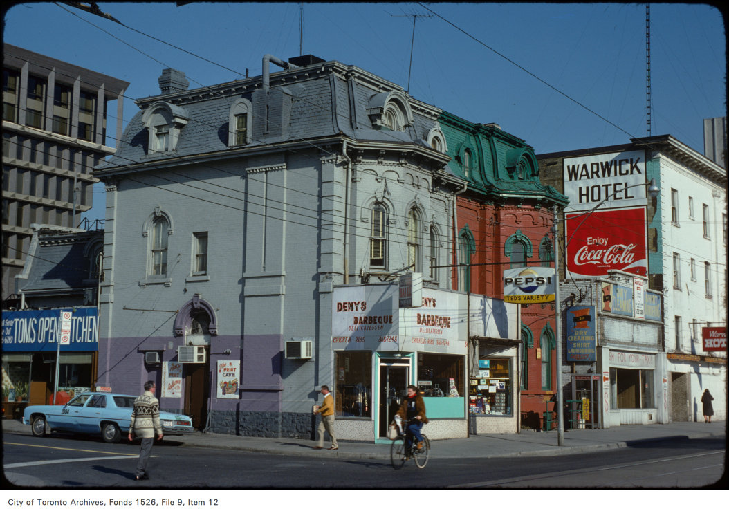
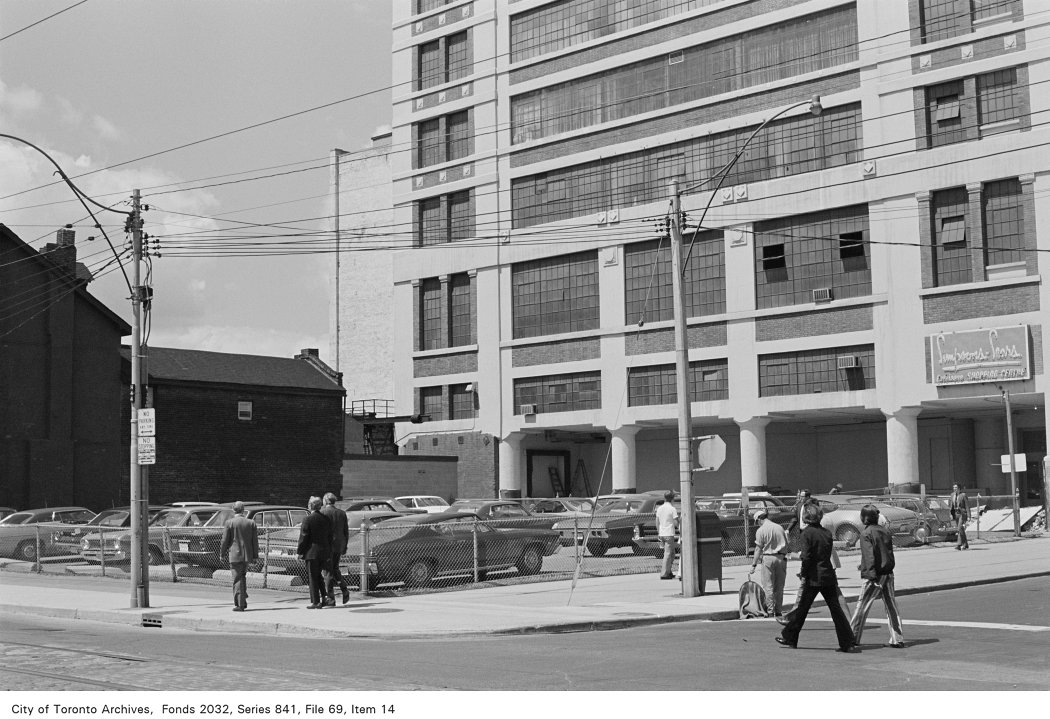
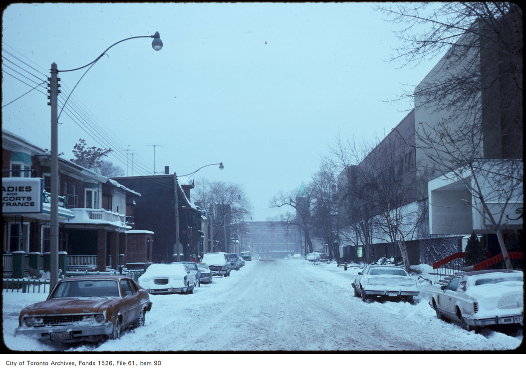
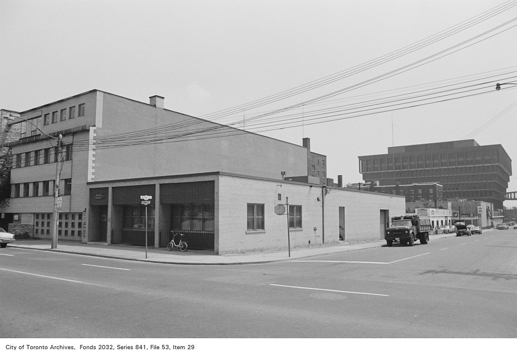
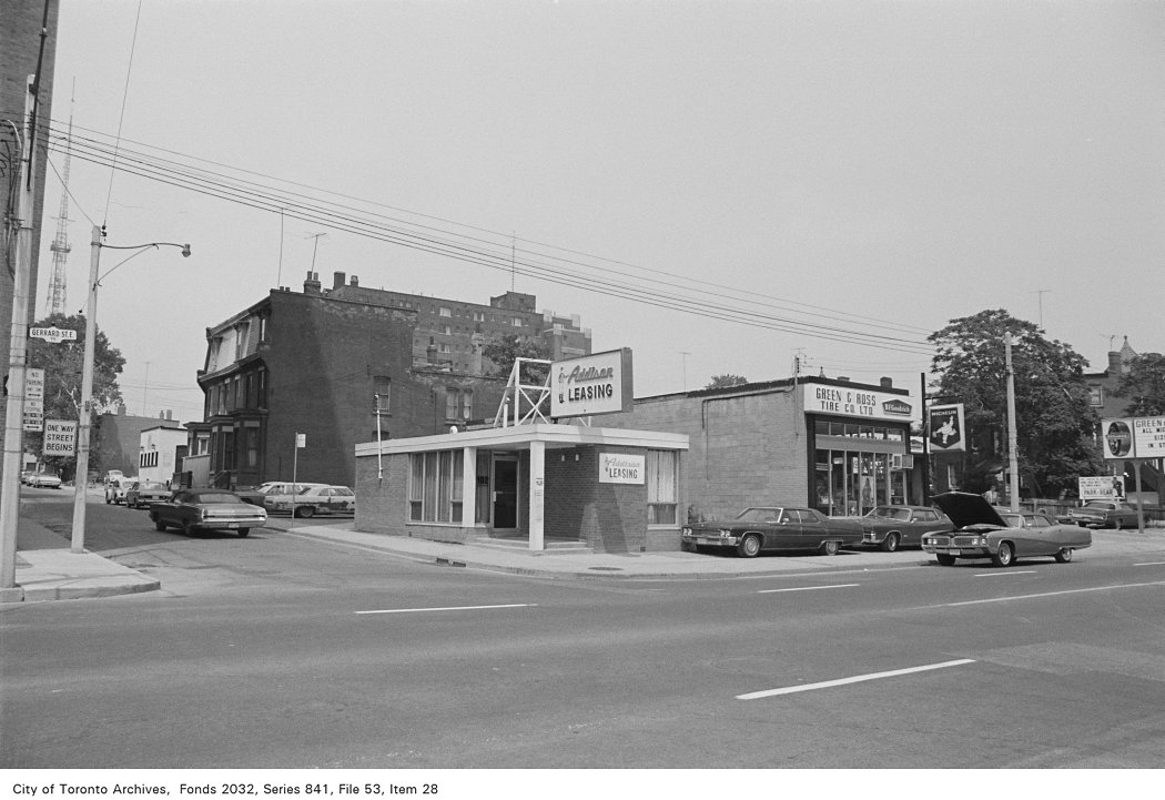
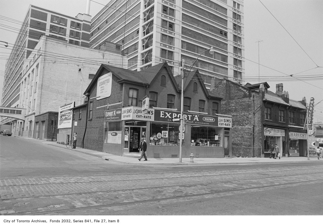
Photo locations are matched from each photo’s title against City street and address data, so some may be off. Report a wrong location