1375 Yonge St
An address in Rosedale-Moore Park, outside TRCA flood and shoreline hazard areas, with 15 active development applications within 250 metres.
Data as of Nov 8, 2026 · Every item lists its source
- Outside TRCA flood and shoreline hazard areas.
- 15 active development applications and 2 Committee of Adjustment applications within 250 m.
01The building
Recent permits (4)
- Sign Building Permit Related · Cancelled · Mar 5, 2024
INSTALL 1 NEW GROUND SIGN · Permit 24 122406 DST - Demolition · Closed · Jun 16, 2020
Proposal to demolish the existing 2 storey multiple use/non residential building. · Permit 20 144850 DEM - Multiple Projects · Closed · Jun 20, 2017
Proposed interior alterations to convert the restaurant into a retail (gorcery) store, and awning on the front elevation · Permit 17 128885 BLD - Unknown · Closed · May 2, 1996
INSTALL FIXTURES IN FIRST FLOOR RETAIL STORE: 1 W.C., 1 W.B. TENANT: THE HEALTH SHOP /LM · Permit 96 015760 PLB
02Risks and the ground
TRCA mapping is for screening, not site-specific decisions. Lead results are voluntary samples from homes in the postal area, not this address.
03What’s changing nearby
- 122 St Clair Ave E · 27 m · Official Plan / Rezoning · OMB AppealApplication to amend the Official Plan and Zoning By-law to permit a mixed-use development consisting of four residential buildings 44, 39, 27, and 13-storeys, a new park at the northwest corner of the site, a courtyard privately owned…File 19 134851 STE 12 OZ · submitted Apr 3, 2019 · City record
- 222 St Clair Ave E · 27 m · Site Plan · Under ReviewMixed use development consisting of three towers organized around a central publicly accessible open space (POPS), along with a new 1,560 m² public park at the northwest corner of the site. The development would include 661 residential…File 26 185667 STE 12 SA · submitted Jun 16, 2026 · City record
- 31481 Yonge St · 85 m · Official Plan / Rezoning · OMB AppealApplication to amend the Official Plan and Zoning By-law to permit a mixed-use development consisting of four residential buildings 44, 39, 27, and 13-storeys, a new park at the northwest corner of the site, a courtyard privately owned…File 19 134851 STE 12 OZ · submitted Apr 3, 2019 · City record
- 41485 Yonge St · 86 m · Subdivision · Under ReviewDraft Plan of Subdivision for 4 blocks.File 21 226522 STE 12 SB · submitted Oct 15, 2021 · City record
- 51485 Yonge St · 86 m · Site Plan · Under ReviewMixed use development consisting of three towers organized around a central publicly accessible open space (POPS), along with a new 1,560 m² public park at the northwest corner of the site. The development would include 661 residential…File 26 185667 STE 12 SA · submitted Jun 16, 2026 · City record
- 61485 Yonge St · 86 m · Official Plan / Rezoning · OMB AppealApplication to amend the Official Plan and Zoning By-law to permit a mixed-use development consisting of four residential buildings 44, 39, 27, and 13-storeys, a new park at the northwest corner of the site, a courtyard privately owned…File 19 134851 STE 12 OZ · submitted Apr 3, 2019 · City record
- 730 Alvin Ave · 88 m · Site Plan · Under ReviewMixed use development consisting of three towers organized around a central publicly accessible open space (POPS), along with a new 1,560 m² public park at the northwest corner of the site. The development would include 661 residential…File 26 185667 STE 12 SA · submitted Jun 16, 2026 · City record
- 830 Alvin Ave · 88 m · Subdivision · Under ReviewDraft Plan of Subdivision for 4 blocks.File 21 226522 STE 12 SB · submitted Oct 15, 2021 · City record
- 930 Alvin Ave · 88 m · Official Plan / Rezoning · OMB AppealApplication to amend the Official Plan and Zoning By-law to permit a mixed-use development consisting of four residential buildings 44, 39, 27, and 13-storeys, a new park at the northwest corner of the site, a courtyard privately owned…File 19 134851 STE 12 OZ · submitted Apr 3, 2019 · City record
- 101497 Yonge St · 103 m · Site Plan · Under ReviewMixed use development consisting of three towers organized around a central publicly accessible open space (POPS), along with a new 1,560 m² public park at the northwest corner of the site. The development would include 661 residential…File 26 185667 STE 12 SA · submitted Jun 16, 2026 · City record
- 111497 Yonge St · 103 m · Subdivision · Under ReviewDraft Plan of Subdivision for 4 blocks.File 21 226522 STE 12 SB · submitted Oct 15, 2021 · City record
- 121497 Yonge St · 103 m · Official Plan / Rezoning · OMB AppealApplication to amend the Official Plan and Zoning By-law to permit a mixed-use development consisting of four residential buildings 44, 39, 27, and 13-storeys, a new park at the northwest corner of the site, a courtyard privately owned…File 19 134851 STE 12 OZ · submitted Apr 3, 2019 · City record
Development Applications; Committee of Adjustment Applications · 0 registered short-term rentals within 250 m.
04City services
05Quick answers about 1375 Yonge St
Is 1375 Yonge St in a flood plain?
No. It is outside TRCA's mapped flood and shoreline hazard areas. Source: TRCA Regulation mapping 2025.
What is being built near 1375 Yonge St?
15 active development applications within 250 metres, the closest at 22 St Clair Ave E (27 m). Source: Development Applications.
When is garbage day at 1375 Yonge St?
Collection calendar Wednesday 2. Next garbage pickup: Nov 11, 2026. Source: Solid Waste Collection Schedule.
Answers are generated from the data on this page and update when the data changes.
06From the archives
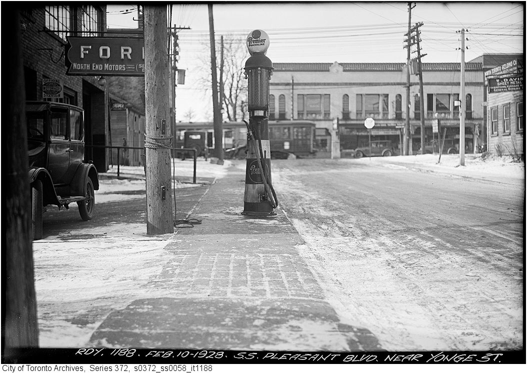
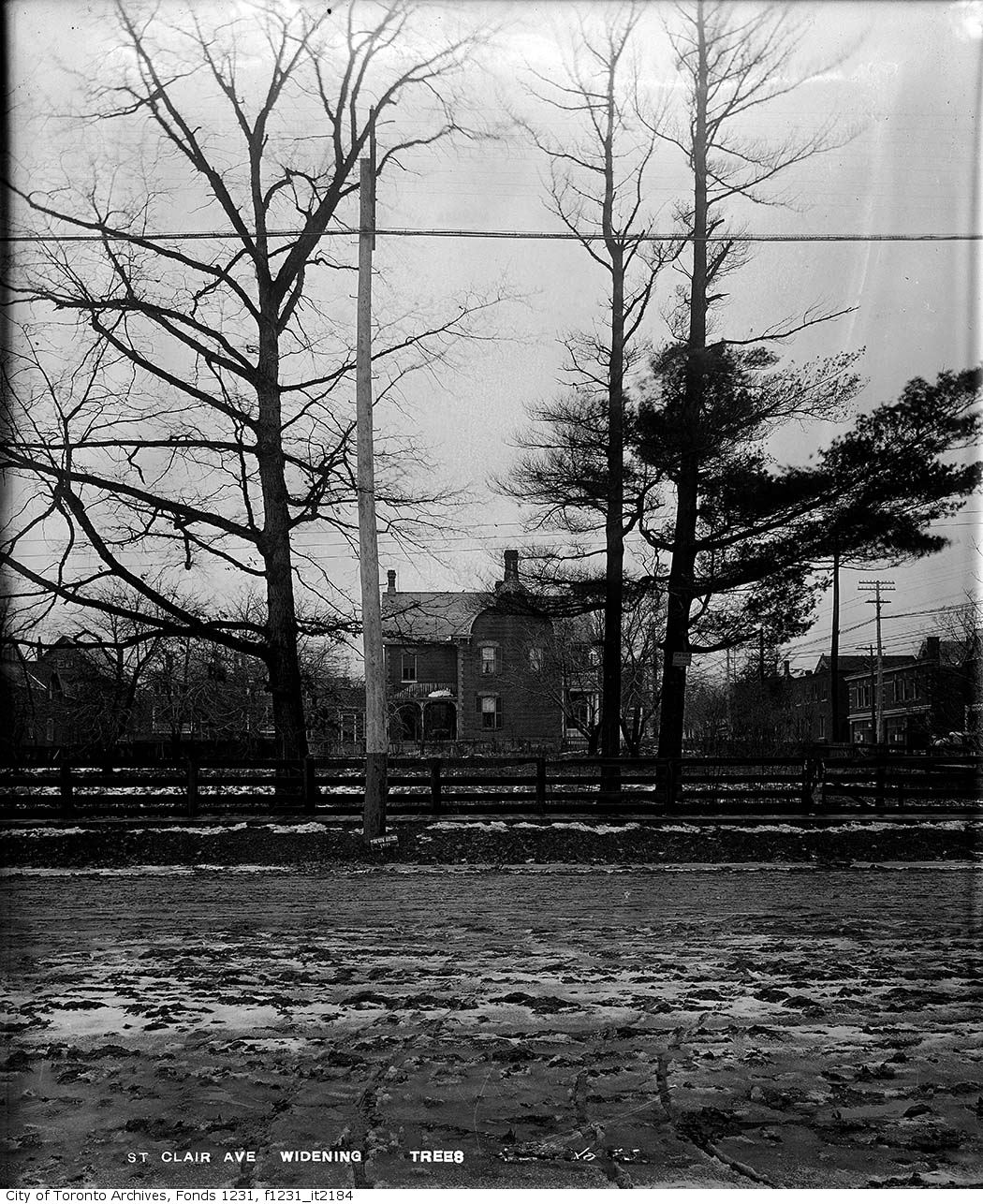
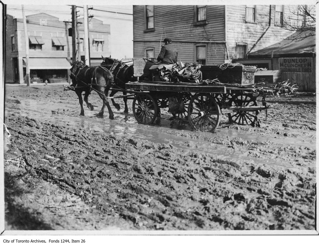
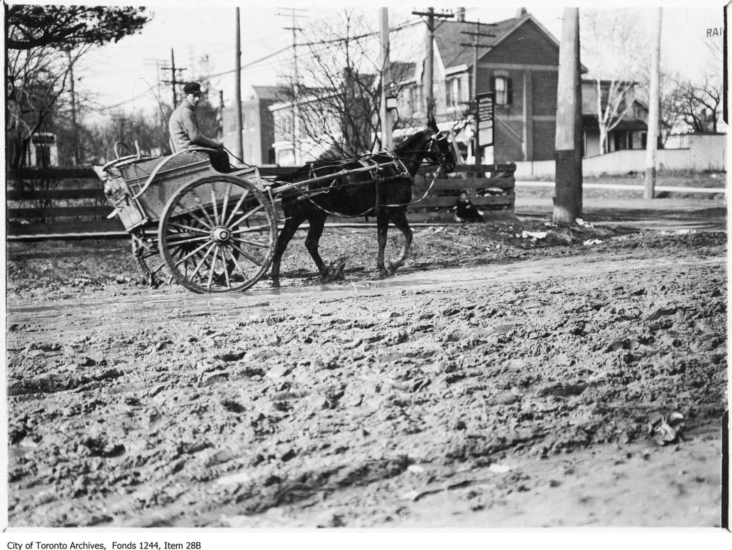
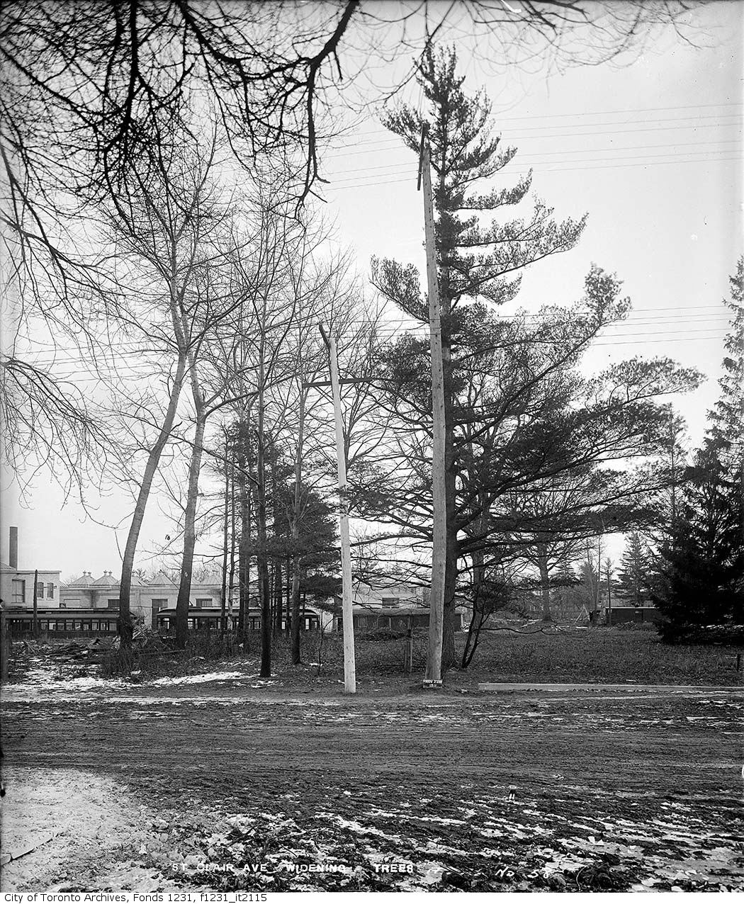

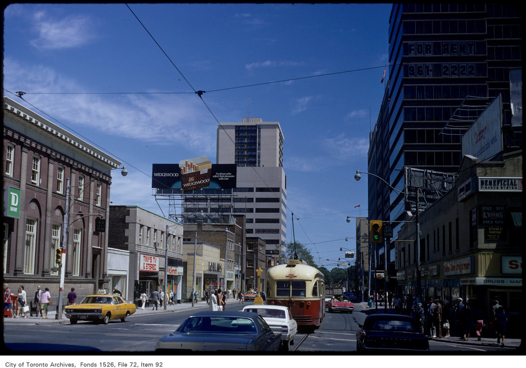
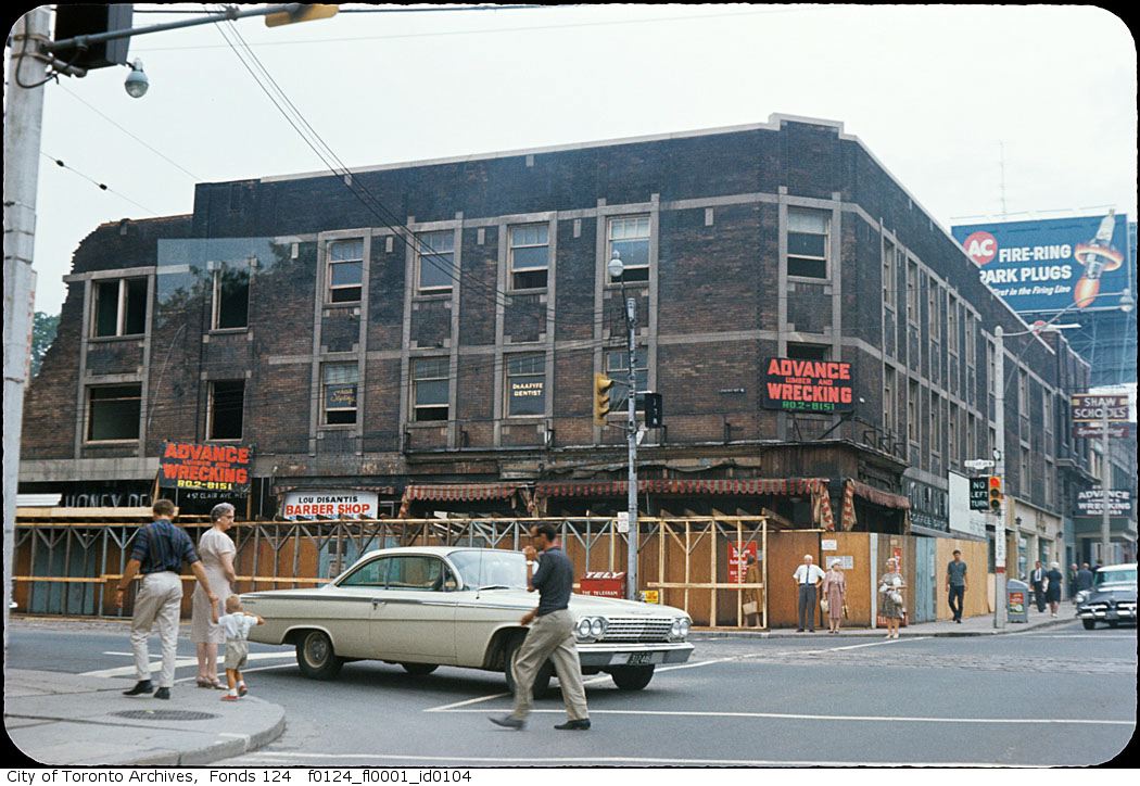
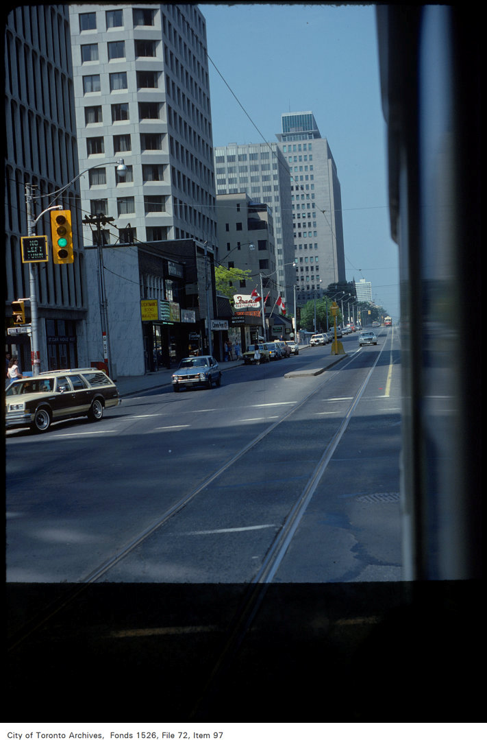
Photo locations are matched from each photo’s title against City street and address data, so some may be off. Report a wrong location