143 King St E
A property on the Heritage Register (Part IV), outside TRCA flood and shoreline hazard areas, with 15 active development applications within 250 metres.
Data as of Nov 7, 2026 · Every item lists its source
- On the Heritage Register (Part IV).
- Outside TRCA flood and shoreline hazard areas.
- 15 active development applications and 0 Committee of Adjustment applications within 250 m.
01The building
Recent permits (1)
- Building Permit Related(MS) · Closed · Dec 10, 2009
HVAC - Proposal for interior alterations to ground (Unit 2001) and mezzanine office floor plan.Includes mech. · Permit 09 186923 HVA
02Risks and the ground
TRCA mapping is for screening, not site-specific decisions. Lead results are voluntary samples from homes in the postal area, not this address.
03What’s changing nearby
- 185 Lombard St · 69 m · Official Plan / Rezoning · OMB AppealThe application proposes to amend Zoning By-law 569-2013 to permit a 65-storey mixed use building containing 600 residential dwelling units, 330 square metres of office space, and 400 square metres of retail space.File 20 120404 STE 13 OZ · submitted Feb 28, 2020 · City record
- 2112 Adelaide St E · 71 m · Official Plan / Rezoning · OMB AppealThe application proposes to amend Zoning By-law 569-2013 to permit a 65-storey mixed use building containing 600 residential dwelling units, 330 square metres of office space, and 400 square metres of retail space.File 20 120404 STE 13 OZ · submitted Feb 28, 2020 · City record
- 3110 Adelaide St E · 78 m · Site Plan · Appeal ReceivedThe Site Plan application to permit a 65-storey mixed use building containing 600 residential dwelling units, 330 square metres of office space, and 400 square metres of retail space.File 22 186104 STE 13 SA · submitted Aug 4, 2022 · City record
- 4110 Adelaide St E · 78 m · Official Plan / Rezoning · OMB AppealThe application proposes to amend Zoning By-law 569-2013 to permit a 65-storey mixed use building containing 600 residential dwelling units, 330 square metres of office space, and 400 square metres of retail space.File 20 120404 STE 13 OZ · submitted Feb 28, 2020 · City record
- 5100 Lombard St · 86 m · Site Plan · Under ReviewSite Plan Control application to permit a 59-storey mixed-use building containing 480 dwelling units, 4,321 square metres of office space, and 616 square metres of retail space.File 22 192721 STE 13 SA · submitted Aug 18, 2022 · City record
- 6100 Lombard St · 86 m · Official Plan / Rezoning · OMB AppealZoning By-law Amendment application to permit a 59-storey mixed-use building containing 480 dwelling units, 4,321 square metres of office space, and 616 square metres of retail space.. A Site Plan Application (22 192721 STE 13 SA) has…File 22 192723 STE 13 OZ · submitted Aug 18, 2022 · City record
- 786 Lombard St · 103 m · Site Plan · Under ReviewSite Plan Control application to permit a 59-storey mixed-use building containing 480 dwelling units, 4,321 square metres of office space, and 616 square metres of retail space.File 22 192721 STE 13 SA · submitted Aug 18, 2022 · City record
- 886 Lombard St · 103 m · Official Plan / Rezoning · OMB AppealZoning By-law Amendment application to permit a 59-storey mixed-use building containing 480 dwelling units, 4,321 square metres of office space, and 616 square metres of retail space.. A Site Plan Application (22 192721 STE 13 SA) has…File 22 192723 STE 13 OZ · submitted Aug 18, 2022 · City record
- 9125 George St · 140 m · Condominium · Draft Plan ApprovedDraft Plan of Condominium for 39-storey mixed-use development with four levels of underground parking, and containing 516 residential dwelling units.File 26 167726 STE 13 CD · submitted May 26, 2026 · City record
- 10231 Richmond St E · 163 m · Condominium · Draft Plan ApprovedDraft Plan of Condominium for 39-storey mixed-use development with four levels of underground parking, and containing 516 residential dwelling units.File 26 167726 STE 13 CD · submitted May 26, 2026 · City record
- 11179 King St E · 219 m · Site Plan · NOAC IssuedSite Plan Control application to permit the construction of a 46 storey mixed use building containing 437 residential dwelling units, 430 square metres of retail gross floor area, and 1 car-share parking space.File 22 189357 STE 13 SA · submitted Aug 11, 2022 · City record
- 1289 Queen St E · 219 m · Site Plan · Under ReviewProposal for a 61 storey mixed-use building containing 691 dwelling units, 43,404 sqm of residential GFA, and 464 sqm of retail GFA.File 22 186083 STE 13 SA · submitted Aug 4, 2022 · City record
Development Applications; Committee of Adjustment Applications · 3 registered short-term rentals within 250 m.
04City services
05Quick answers about 143 King St E
Is 143 King St E in a flood plain?
No. It is outside TRCA's mapped flood and shoreline hazard areas. Source: TRCA Regulation mapping 2025.
What is being built near 143 King St E?
15 active development applications within 250 metres, the closest at 85 Lombard St (69 m). Source: Development Applications.
Answers are generated from the data on this page and update when the data changes.
06From the archives
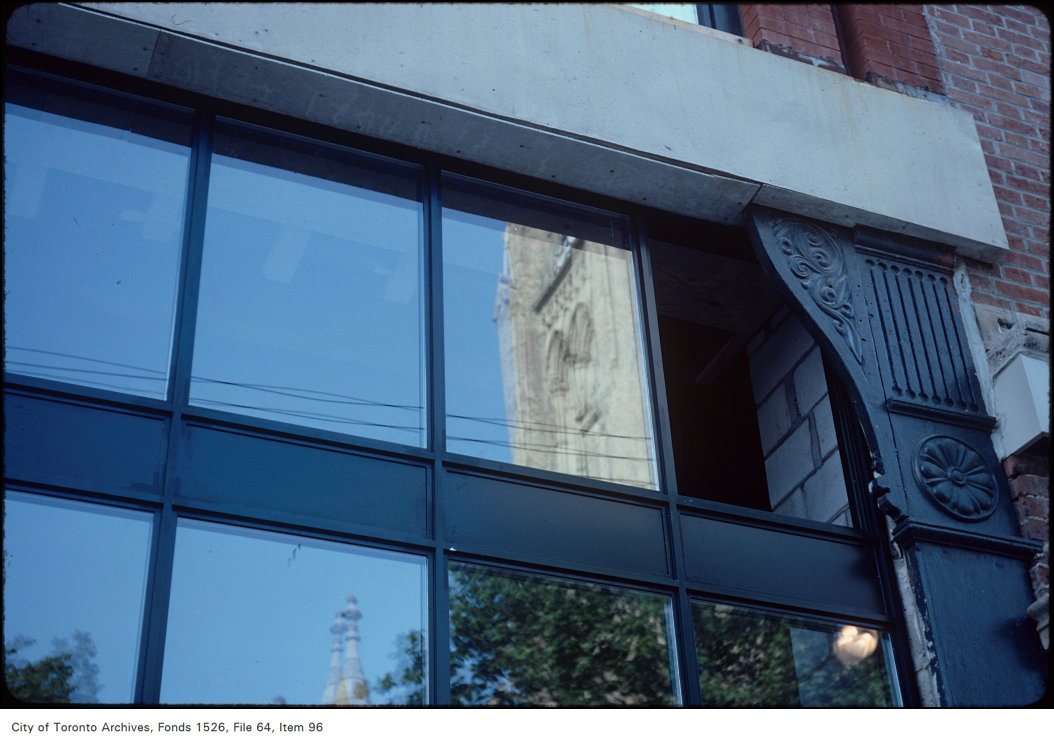
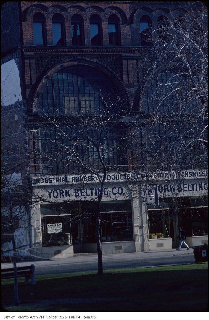
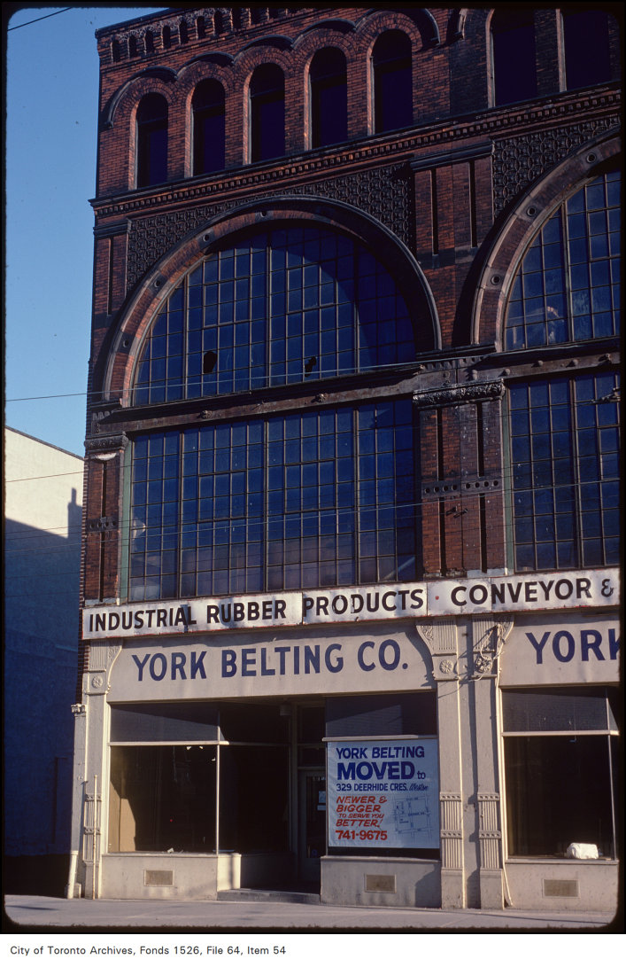
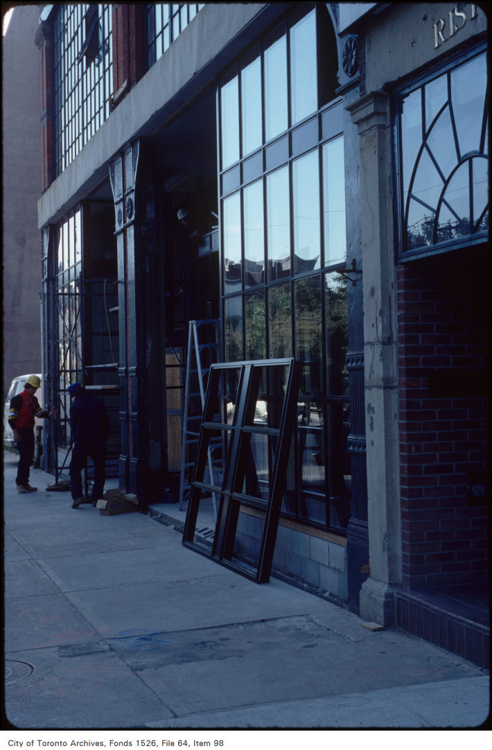
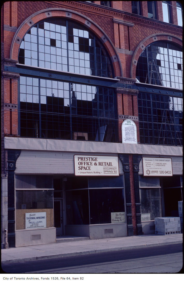
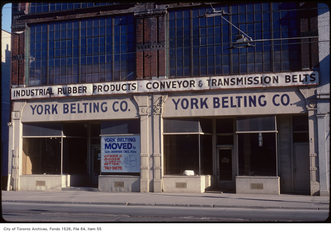
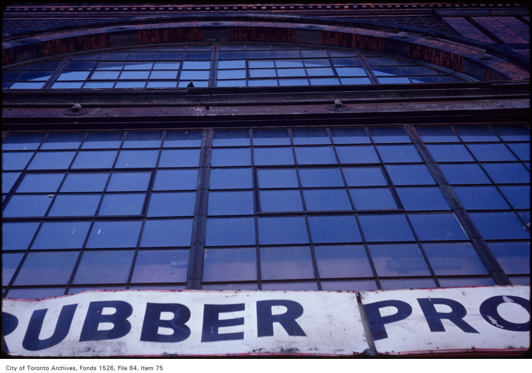
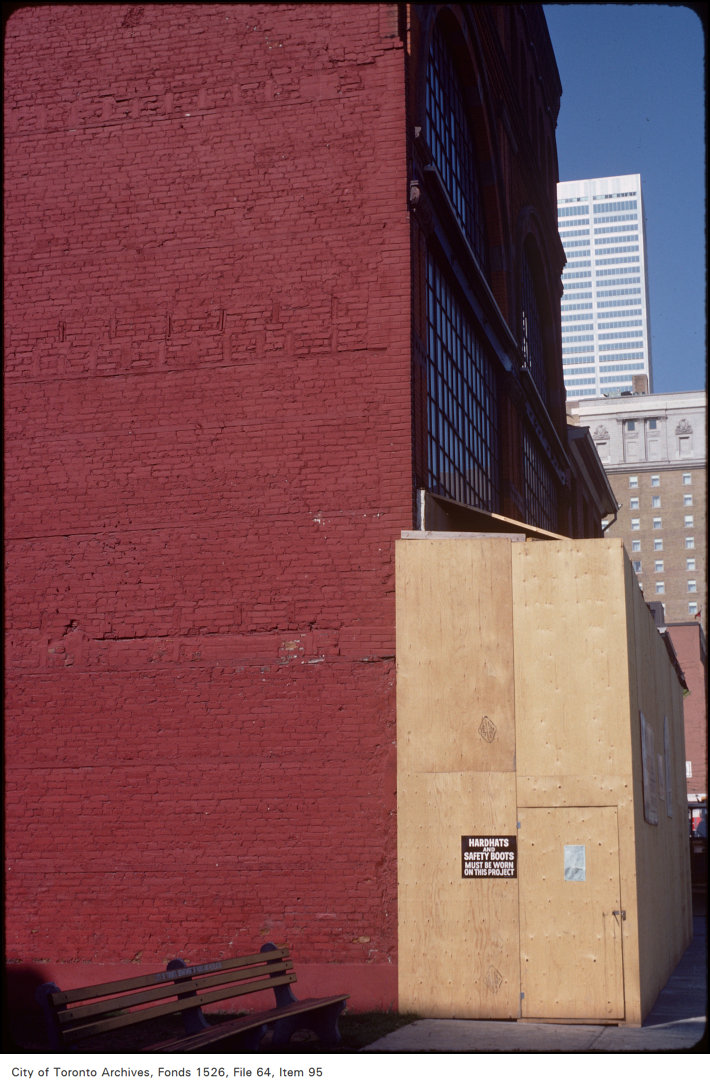
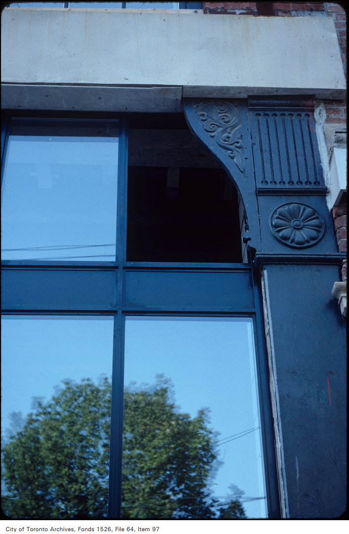
Photo locations are matched from each photo’s title against City street and address data, so some may be off. Report a wrong location