147 Munro St
An address in South Riverdale, outside TRCA flood and shoreline hazard areas, with 4 active development applications within 250 metres.
Data as of Nov 8, 2026 · Every item lists its source
- Outside TRCA flood and shoreline hazard areas.
- 4 active development applications and 0 Committee of Adjustment applications within 250 m.
01The building
Recent permits (7)
- Building Permit Related(MS) · Revocation Pending · Jul 5, 2023
HVAC - DEMOLITION OF EXISTING BUILDING AND CONSTRUCTION OF A NEW 3-STOREY DUPLEX · Permit 23 102390 HVA - Building Permit Related (DR) · Permit Issued · Jul 4, 2023
Drain - DEMOLITION OF EXISTING BUILDING AND CONSTRUCTION OF A NEW 3-STOREY DUPLEX · Permit 23 102390 DRN - Building Permit Related(PS) · Revocation Pending · Jul 4, 2023
Plumbing - DEMOLITION OF EXISTING BUILDING AND CONSTRUCTION OF A NEW 3-STOREY DUPLEX · Permit 23 102390 PLB - New Building - By Renovation · Inspection · Jul 4, 2023
DEMOLITION OF EXISTING BUILDING AND CONSTRUCTION OF A NEW 3-STOREY DUPLEX · Permit 23 102390 BLD - Demolition · Permit Issued · Jul 4, 2023
Proposal to demolish existing building and construct a new three storey duplex · Permit 23 111033 DEM - Building Permit Related(PS) · Closed · May 31, 2022
Plumbing - Proposal for basment underpinning.Basement to remain unfinished. · Permit 22 145715 PLB - Underpinning · Closed · May 31, 2022
Proposal for basment underpinning.Basement to remain unfinished. · Permit 22 145715 BLD
02Risks and the ground
TRCA mapping is for screening, not site-specific decisions. Lead results are voluntary samples from homes in the postal area, not this address.
03What’s changing nearby
- 1238 Hamilton St · 82 m · Site Plan · Under ReviewSite Plan Application to redevelop the lands municipally known as 563 Gerrard Street East and 238 Hamilton Street with a 13-unit mixed-use project comprised of 2 corner commercial buildings with residential atop, 10 new freehold…File 18 155186 STE 30 SA · submitted May 8, 2018 · City record
- 2563-565 Gerrard St E · 121 m · Site Plan · Under ReviewSite Plan Application to redevelop the lands municipally known as 563 Gerrard Street East and 238 Hamilton Street with a 13-unit mixed-use project comprised of 2 corner commercial buildings with residential atop, 10 new freehold…File 18 155186 STE 30 SA · submitted May 8, 2018 · City record
- 3415 Broadview Ave · 214 m · Site Plan · Under ReviewSite Plan Approval for a proposed residential addition to the existing congregation. The proposal will contain 3,824 square metres of residential gross floor area (GFA) and 51 residential units . The proposed plans also included 181…File 24 140233 STE 14 SA · submitted Apr 24, 2024 · City record
- 4415 Broadview Ave · 214 m · Official Plan / Rezoning · Appeal ReceivedA 10 storey building adding to, and modifying, the existing heritage church building onsite. 4,892.98 square metres of residential gross floor area (GFA) are proposed, as well as 683 square metres of non-residential space to be allocated…File 21 251348 STE 14 OZ · submitted Dec 24, 2021 · City record
Development Applications; Committee of Adjustment Applications · 10 registered short-term rentals within 250 m.
04City services
05Quick answers about 147 Munro St
Is 147 Munro St in a flood plain?
No. It is outside TRCA's mapped flood and shoreline hazard areas. Source: TRCA Regulation mapping 2025.
What is being built near 147 Munro St?
4 active development applications within 250 metres, the closest at 238 Hamilton St (82 m). Source: Development Applications.
When is garbage day at 147 Munro St?
Collection calendar Thursday 1. Next garbage pickup: Nov 19, 2026. Source: Solid Waste Collection Schedule.
Answers are generated from the data on this page and update when the data changes.
06From the archives
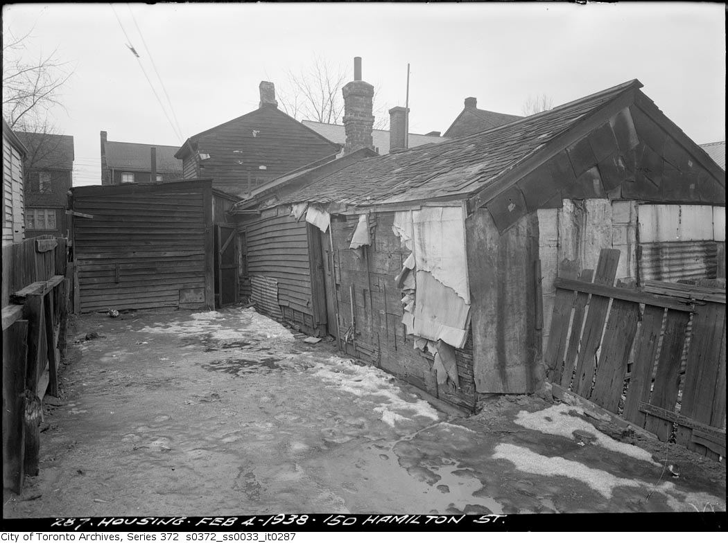
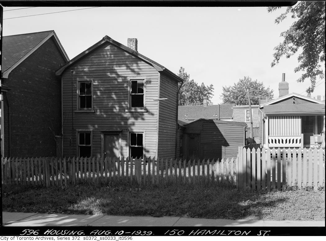
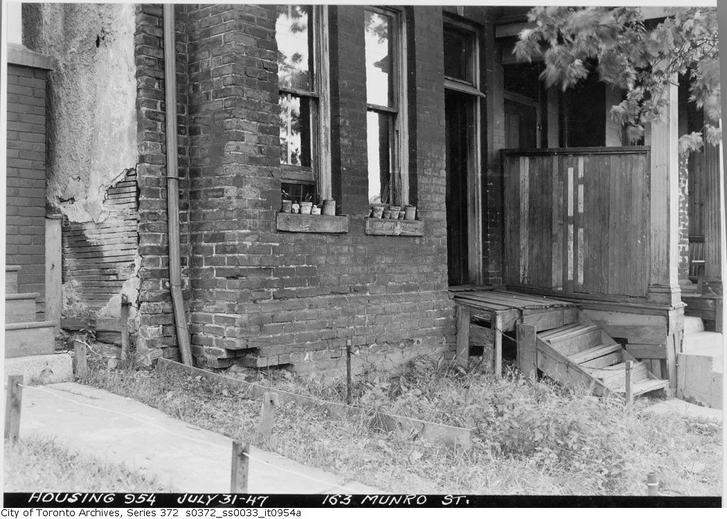
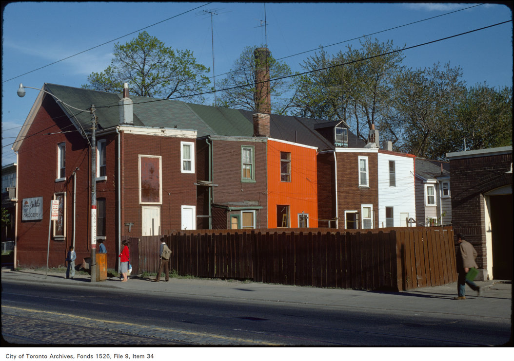
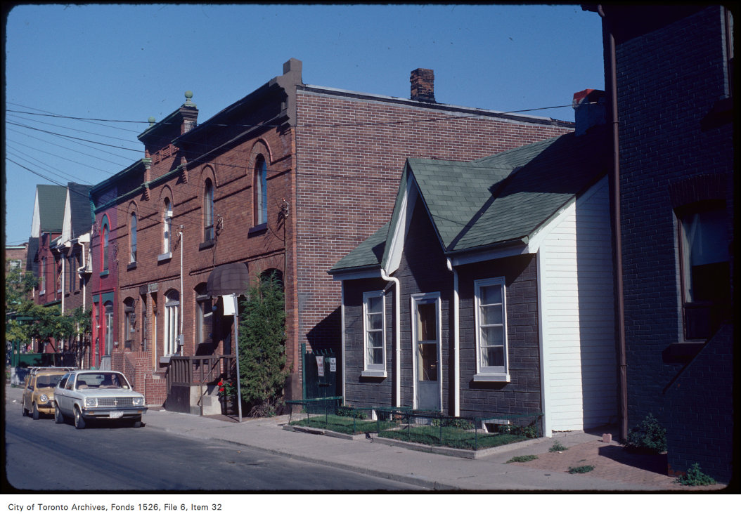
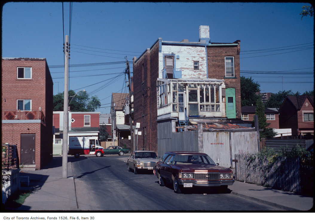
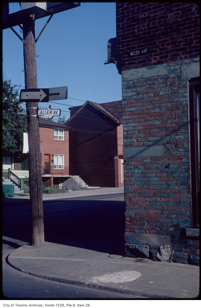
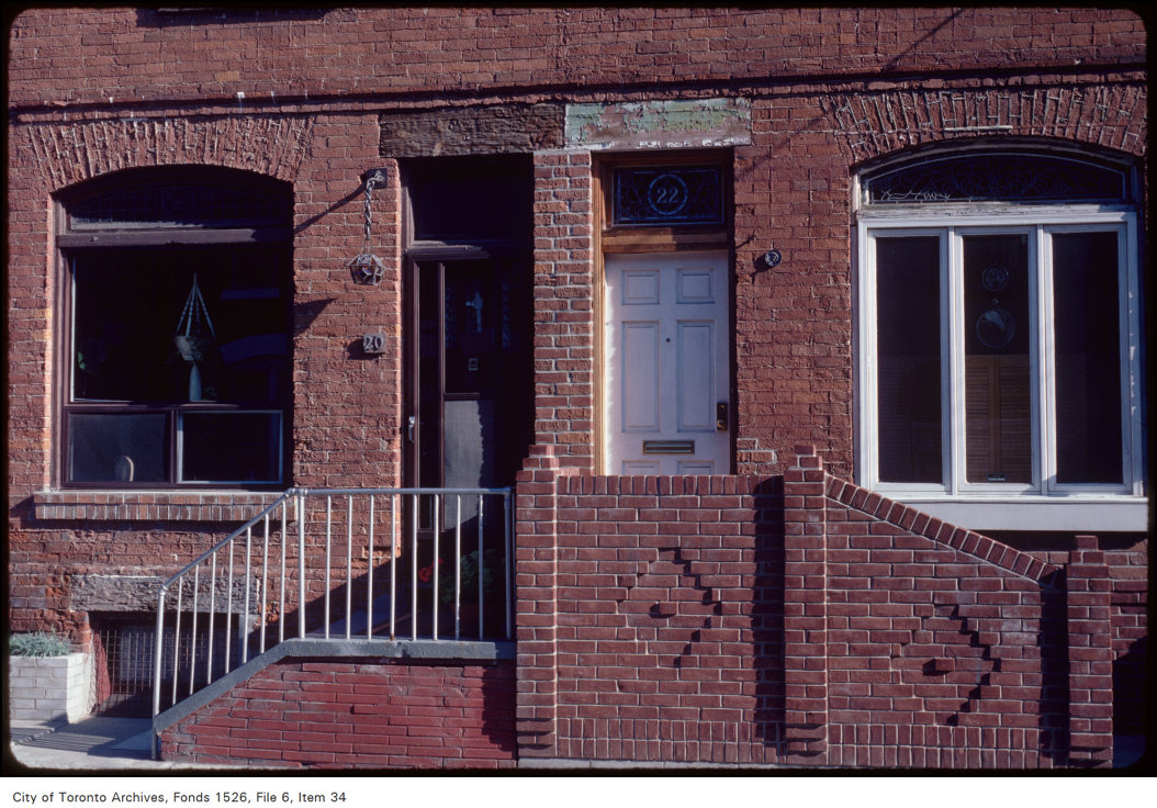
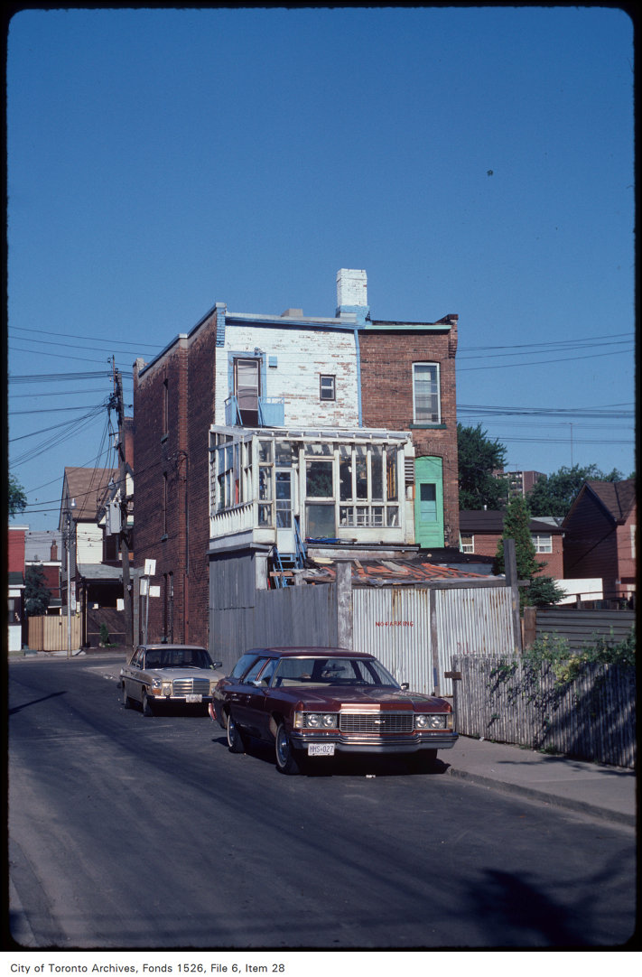
Photo locations are matched from each photo’s title against City street and address data, so some may be off. Report a wrong location