150 Brookside Ave
An address in Runnymede-Bloor West Village, outside TRCA flood and shoreline hazard areas, with 5 active development applications within 250 metres.
Data as of Nov 7, 2026 · Every item lists its source
- Outside TRCA flood and shoreline hazard areas.
- 5 active development applications and 0 Committee of Adjustment applications within 250 m.
01The building
Recent permits (2)
- Back Water Valve (Sewer only) · Closed · Jun 5, 2019
Proposal to install a back water valve · Permit 19 166416 DRN - Addition(s) · Closed · Jan 20, 2011
Administration permit for one storey rear addition and deck to rear of 152 Brookside Ave. · Permit 11 109007 BLD
02Risks and the ground
TRCA mapping is for screening, not site-specific decisions. Lead results are voluntary samples from homes in the postal area, not this address.
03What’s changing nearby
- 12650 St Clair Ave W · 248 m · Subdivision · OMB ApprovedProposal to develop the property with 98 back-to-back townhouse units and the renovation of the existing two-storey employment building. The townhouse units will be located within 5 blocks along private condominium roads.File 18 208431 WET 11 SB · submitted Aug 13, 2018 · City record
- 22650 St Clair Ave W · 248 m · Part Lot Control · Under ReviewThis Part Lot Control Exemption Application facilitates the creation of ninety-six (96) Parcels of Tied Land (POTLs) for back-to-back townhouse units with a related Common Elements Condominium application (File No. 26 238555 WET 05 CD)…File 26 238629 WET 05 PL · submitted Sep 16, 2026 · City record
- 32650 St Clair Ave W · 248 m · Official Plan / Rezoning · OMB AppealThe Official Plan Amendment application proposes to amend Chapter 7, Site and Area Specific Policies, Policy No. 540 and Schedule 2 of the Official Plan "The Designation Of Planned But Unbuilt Road" by is amended to change the requirement…File 20 196724 WET 05 OZ · submitted Sep 22, 2020 · City record
- 42650 St Clair Ave W · 248 m · Condominium · Under ReviewDraft Plan of Condominium - 96 Units.File 26 238555 WET 05 CD · submitted Sep 16, 2026 · City record
- 52650 St Clair Ave W · 248 m · Official Plan / Rezoning · Under ReviewProposed amendments seek to remove the use restrictions and permit a broader range ofnon-residential uses throughout the existing building, consistent with the broader range of usescontemplated under the EO Zone of the City¿s zoning…File 26 256764 WET 05 OZ · submitted Oct 19, 2026 · City record
Development Applications; Committee of Adjustment Applications · 0 registered short-term rentals within 250 m.
04City services
05Quick answers about 150 Brookside Ave
Is 150 Brookside Ave in a flood plain?
No. It is outside TRCA's mapped flood and shoreline hazard areas. Source: TRCA Regulation mapping 2025.
What is being built near 150 Brookside Ave?
5 active development applications within 250 metres, the closest at 2650 St Clair Ave W (248 m). Source: Development Applications.
When is garbage day at 150 Brookside Ave?
Collection calendar Wednesday 2. Next garbage pickup: Nov 11, 2026. Source: Solid Waste Collection Schedule.
Answers are generated from the data on this page and update when the data changes.
06From the archives
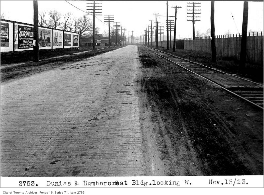
Photo locations are matched from each photo’s title against City street and address data, so some may be off. Report a wrong location