159 Frederick St
A property on the Heritage Register (Part V), outside TRCA flood and shoreline hazard areas, with 15 active development applications within 250 metres.
Data as of Nov 7, 2026 · Every item lists its source
- No fire code violations in open inspections.
- On the Heritage Register (Part V).
- Outside TRCA flood and shoreline hazard areas.
- 15 active development applications and 0 Committee of Adjustment applications within 250 m.
01The building
Recent permits (2)
- Electromagnetic Locks · Permit Issued · Sep 4, 2026
Proposal for design of maglock system on ground floor. · Permit 26 229592 FSU - Backflow Prevention Devices (Water only) · Inspection · Sep 12, 2011
Proposal to install a BFP in existing condo. · Permit 11 256657 PSA
02Risks and the ground
TRCA mapping is for screening, not site-specific decisions. Lead results are voluntary samples from homes in the postal area, not this address.
03What’s changing nearby
- 1348 Richmond St E · 125 m · Site Plan · Under ReviewSite Plan Approval for a 25-storey mixed-use building having a non-residential gross floor area of 24,936 square metres, and a residential gross floor area of 35,803 square metres. A total of 446 residential dwelling units, and 180…File 21 169132 STE 13 SA · submitted Jun 11, 2021 · City record
- 2234 King St E · 141 m · Site Plan · NOAC IssuedSite Plan application for a 40-storey mixed-use building with 537 square metres of non-residential gross floor area, 33507 square metres of residential gross floor area, and a total of 514 dwelling units.File 21 176715 STE 13 SA · submitted Jun 28, 2021 · City record
- 3234 King St E · 141 m · Condominium · Draft Plan ApprovedDraft Plan of Condominium for 488 units.File 21 228810 STE 13 CD · submitted Oct 21, 2021 · City record
- 4162 Princess St · 142 m · Site Plan · NOAC IssuedSite Plan application for a 40-storey mixed-use building with 537 square metres of non-residential gross floor area, 33507 square metres of residential gross floor area, and a total of 514 dwelling units.File 21 176715 STE 13 SA · submitted Jun 28, 2021 · City record
- 5162 Princess St · 142 m · Condominium · Draft Plan ApprovedDraft Plan of Condominium for 488 units.File 21 228810 STE 13 CD · submitted Oct 21, 2021 · City record
- 6238 King St E · 145 m · Site Plan · NOAC IssuedSite Plan application for a 40-storey mixed-use building with 537 square metres of non-residential gross floor area, 33507 square metres of residential gross floor area, and a total of 514 dwelling units.File 21 176715 STE 13 SA · submitted Jun 28, 2021 · City record
- 7238 King St E · 145 m · Condominium · Draft Plan ApprovedDraft Plan of Condominium for 488 units.File 21 228810 STE 13 CD · submitted Oct 21, 2021 · City record
- 8242 King St E · 148 m · Site Plan · NOAC IssuedSite Plan application for a 40-storey mixed-use building with 537 square metres of non-residential gross floor area, 33507 square metres of residential gross floor area, and a total of 514 dwelling units.File 21 176715 STE 13 SA · submitted Jun 28, 2021 · City record
- 9242 King St E · 148 m · Condominium · Draft Plan ApprovedDraft Plan of Condominium for 488 units.File 21 228810 STE 13 CD · submitted Oct 21, 2021 · City record
- 10244 King St E · 148 m · Condominium · Draft Plan ApprovedDraft Plan of Condominium for 488 units.File 21 228810 STE 13 CD · submitted Oct 21, 2021 · City record
- 11244 King St E · 148 m · Site Plan · NOAC IssuedSite Plan application for a 40-storey mixed-use building with 537 square metres of non-residential gross floor area, 33507 square metres of residential gross floor area, and a total of 514 dwelling units.File 21 176715 STE 13 SA · submitted Jun 28, 2021 · City record
- 12427 Adelaide St E · 149 m · Site Plan · Under ReviewSite Plan Approval for two mixed-use towers having heights of 38 and 40 storeys. The proposed non-residential gross floor area is 5,490 square metres, and the proposed residential gross floor area is 62,695 square metres. A total of 819…File 21 226317 STE 13 SA · submitted Oct 15, 2021 · City record
Development Applications; Committee of Adjustment Applications · 60 registered short-term rentals within 250 m.
04City services
05Quick answers about 159 Frederick St
Is 159 Frederick St in a flood plain?
No. It is outside TRCA's mapped flood and shoreline hazard areas. Source: TRCA Regulation mapping 2025.
Does 159 Frederick St have open fire code violations?
No. The City's fire inspection records show no violations in open inspections. Source: Residential Fire Inspection Results.
What is being built near 159 Frederick St?
15 active development applications within 250 metres, the closest at 348 Richmond St E (125 m). Source: Development Applications.
When is garbage day at 159 Frederick St?
Collection calendar Wednesday 1. Next garbage pickup: Nov 18, 2026. Source: Solid Waste Collection Schedule.
Answers are generated from the data on this page and update when the data changes.
06From the archives


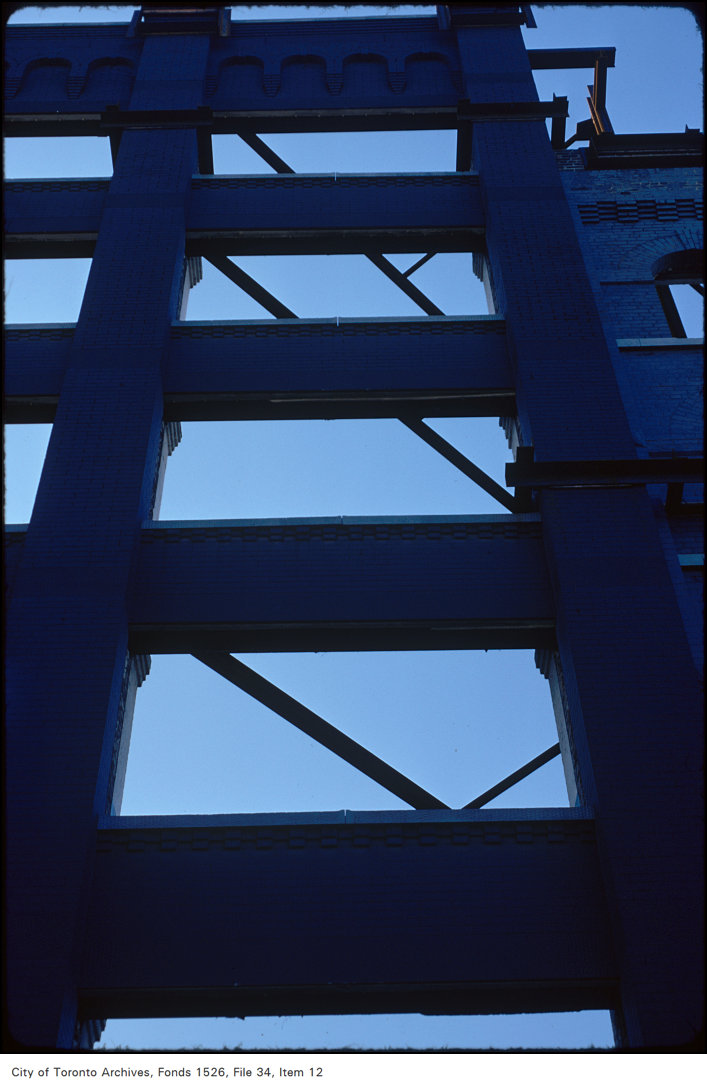
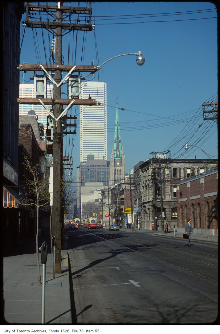

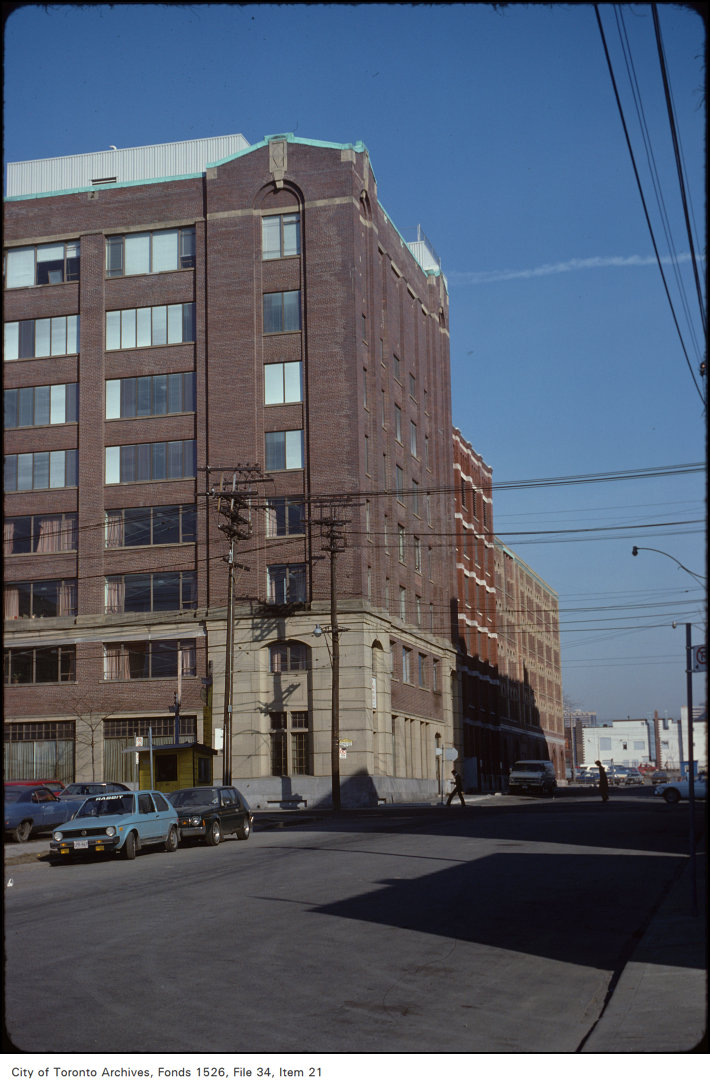

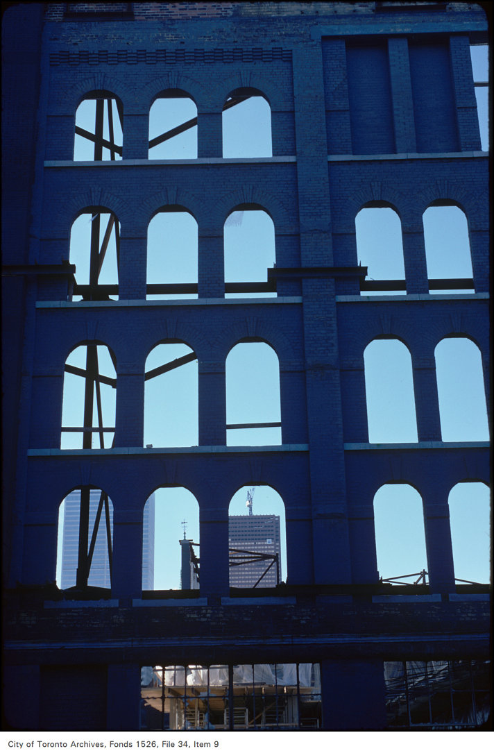
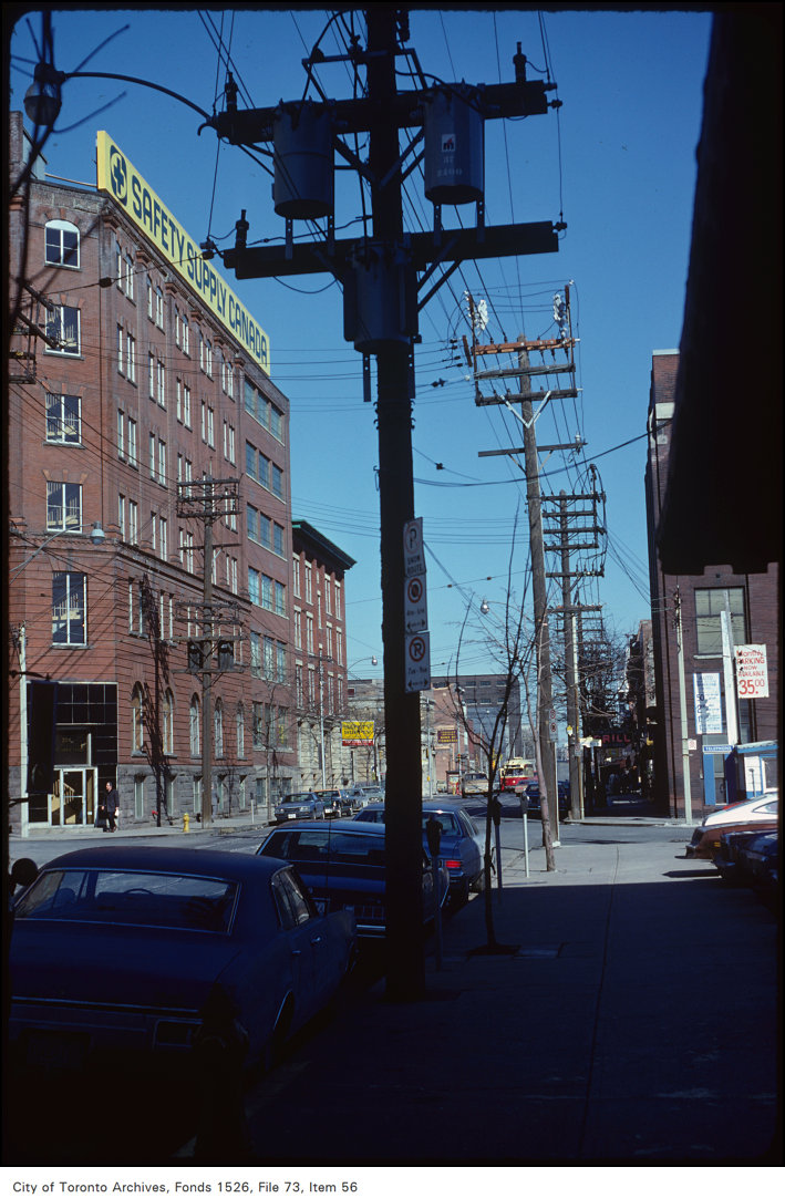
Photo locations are matched from each photo’s title against City street and address data, so some may be off. Report a wrong location