166 Bingham Ave
166 Bingham Ave is in East End-Danforth. It's outside TRCA flood hazard areas and there is 1 planning application nearby (approved).
Data as of Nov 8, 2026 · Every item lists its source
- Outside TRCA flood hazard areas.
- 1 planning application within 250 m: approved.
03The building
2 building permits in the last 5 years, for 1 project. For comparison, about 1 in 10 Toronto addresses had any permit in that time. Permits show work the City approved; they don't show work done without a permit.
It isn't listed or designated on the City's Heritage Register.
Permit history: 1 project from 2 permits
- Interior Alterations · completed Jan 22, 2026
Interior alterations to existing dwelling · 2 permits in this project (such as building, plumbing and heating) · Permit 25 230219
04Risks and the ground
TRCA's maps show this address is outside the areas that could flood from rivers in a major storm (TRCA plans for a storm like Hurricane Hazel in 1954) and outside lake shoreline hazards. Basement flooding from overloaded sewers can still happen anywhere in the city.
In postal area M4E, 9 of 488 home tap-water samples (1.8%) tested above Ontario's limit for lead (10 micrograms per litre). Across Toronto, 2.0% of samples did, so M4E is about the same as the city overall. Health Canada recommends a stricter limit of 5 micrograms per litre: 22 samples here (4.5%) were above it. These are voluntary tests, mostly from older homes, so they don't tell you about this house. Lead comes from old pipes and plumbing, not the City's treatment plants. If your home was built before the mid-1950s, you can get a free test kit by calling 311.
TRCA mapping is for screening, not site-specific decisions. Lead results are voluntary samples from homes in the postal area, not this address.
01What’s changing nearby
1 active planning application within 250 m (about a 3-minute walk): approved. That's about typical for Toronto (the typical address has 1).
- 114 Winston Ave · 229 m awayCommittee of Adjustment · Minor variance: permission to bend a zoning rule, such as height, size or setbacks
The Committee of Adjustment approved it on Nov 4, 2026.
To construct a two-storey rear addition to the existing dwelling.File A0136/26SC · submitted Sep 10, 2026
3 homes within 250 m are registered with the City as short-term rentals (stays of less than 28 days, like Airbnb). That's about typical for Toronto (the typical address has 2).
Development Applications; Committee of Adjustment Applications; Short Term Rentals Registration.
02City services
Next: November 10: recycling and green bin. November 17: garbage, green bin and yard waste. Green bin goes out every week; garbage and recycling alternate.
05Quick answers about 166 Bingham Ave
Is 166 Bingham Ave in a flood plain?
No. TRCA maps it outside river flood and lake shoreline hazard areas. Basement flooding from sewers can still happen anywhere. Source: TRCA Regulation mapping 2025.
What is being built near 166 Bingham Ave?
There is 1 active planning application within 250 metres (approved). The closest is at 14 Winston Ave, 229 m away. Source: Development Applications; Committee of Adjustment Applications.
Has 166 Bingham Ave been renovated?
Yes. The City has 2 building permits on record, 2 in the last 5 years. Source: Building Permits.
Is 166 Bingham Ave a heritage property?
No. It isn't listed or designated on the City's Heritage Register. Source: Heritage Register.
When is garbage day at 166 Bingham Ave?
Collection is on Tuesdays. Green bin goes out every week; garbage and recycling alternate weeks. The next garbage pickup is Nov 17, 2026. Source: Solid Waste Collection Schedule.
Answers are generated from the data on this page and update when the data changes.
06From the archives
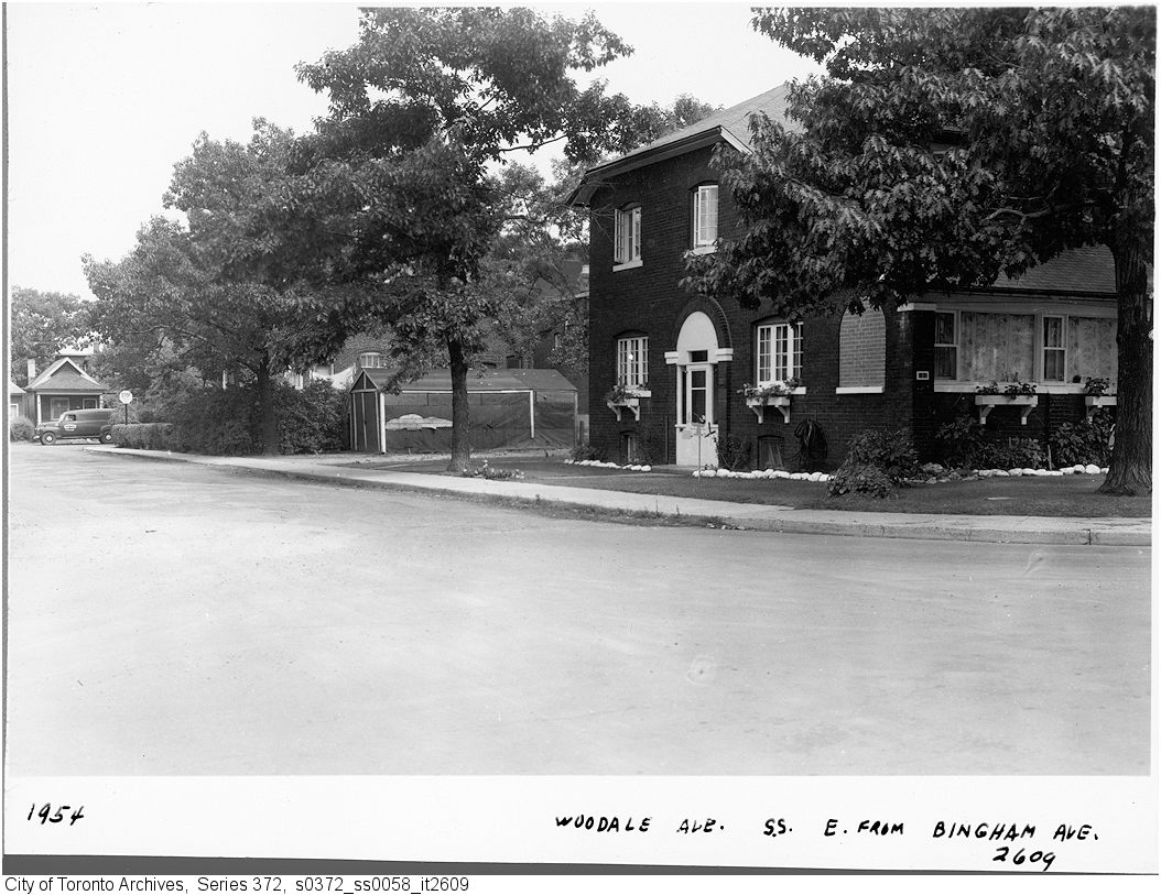
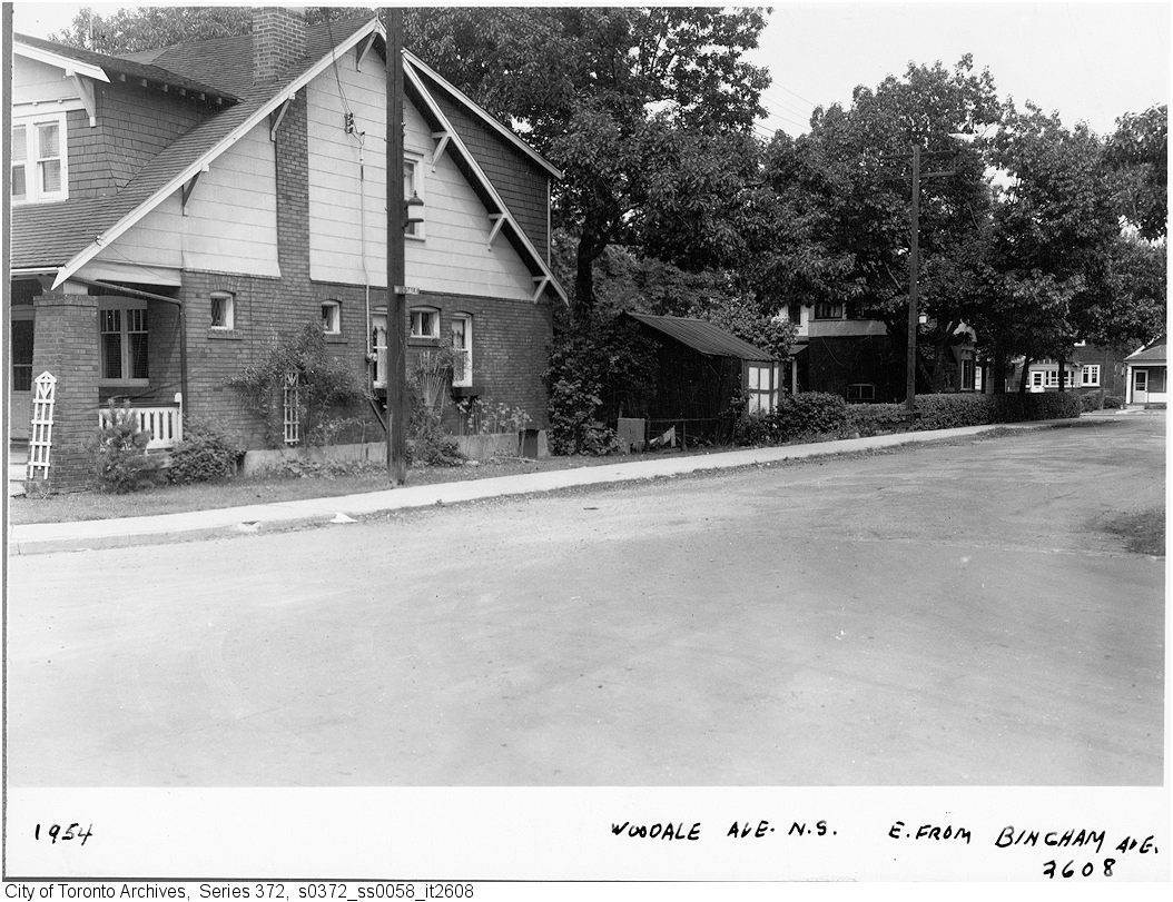
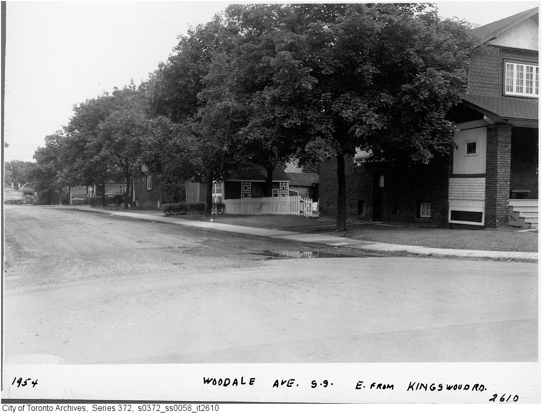
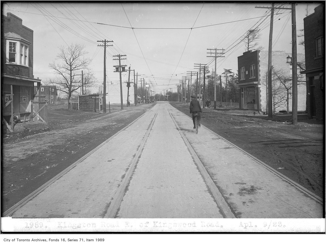
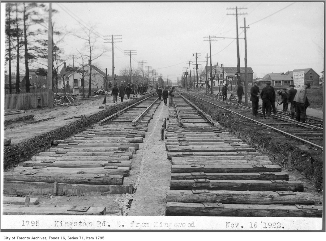
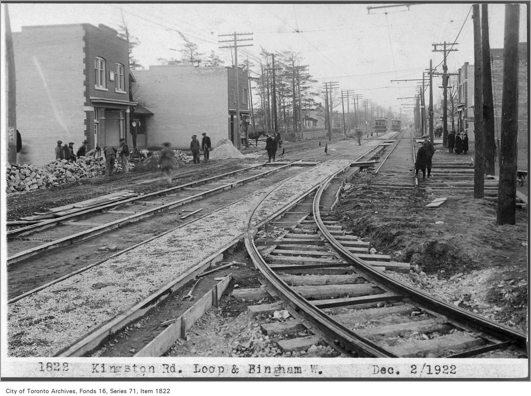
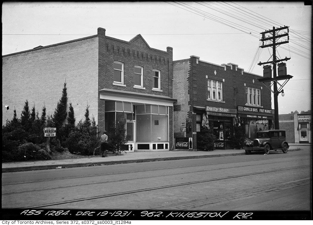
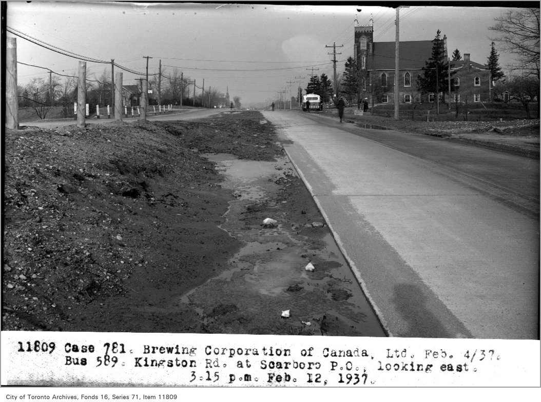
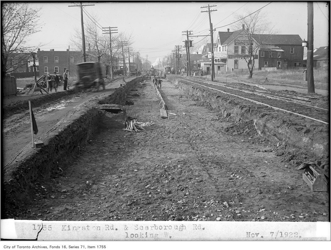
Photo locations are matched from each photo’s title against City street and address data, so some may be off. Report a wrong location