17 Maynard Ave
An address in South Parkdale, outside TRCA flood and shoreline hazard areas, with 6 active development applications within 250 metres.
Data as of Nov 7, 2026 · Every item lists its source
- Outside TRCA flood and shoreline hazard areas.
- 6 active development applications and 1 Committee of Adjustment application within 250 m.
01The building
Recent permits (3)
- Interior Alterations · Inspection · Mar 27, 2024
Proposal to construct interior alterations to create 4-unit dwelling. · Permit 24 122667 BLD - Building Permit Related(PS) · Closed · Feb 13, 2013
Plumbing - Interior alterations to existing non conforming rooming house to 8 DWELLING ROOMS AND 5 DWELLING UNITS. - SEE 2000 131024 BLD FOR PREVIOUS BUILDING PERMIT - · Permit 09 177902 PLB - Interior Alterations · Inspection · Jan 18, 2012
Interior alterations to existing non conforming rooming house to 8 DWELLING ROOMS AND 5 DWELLING UNITS. - SEE 2000 131024 BLD FOR PREVIOUS BUILDING PERMIT - · Permit 09 177902 BLD
02Risks and the ground
TRCA mapping is for screening, not site-specific decisions. Lead results are voluntary samples from homes in the postal area, not this address.
03What’s changing nearby
- 11439 Queen St W · 89 m · Official Plan / Rezoning · Appeal ReceivedThe application proposes to demolish the existing buildings and construct a new 12-storey mixed use building containing 249 dwelling units. The proposed redevelopment consists of 17,576 sq. m total gross floor area (GFA), which results in…File 23 147008 STE 04 OZ · submitted May 17, 2023 · City record
- 21437 Queen St W · 89 m · Official Plan / Rezoning · Appeal ReceivedThe application proposes to demolish the existing buildings and construct a new 12-storey mixed use building containing 249 dwelling units. The proposed redevelopment consists of 17,576 sq. m total gross floor area (GFA), which results in…File 23 147008 STE 04 OZ · submitted May 17, 2023 · City record
- 31437 Queen St W · 89 m · Site Plan · Under ReviewThe application proposes to demolish the existing buildings and construct a new 12-storey mixed use building containing 249 dwelling units. The proposed redevelopment consists of 17,576 sq. m total gross floor area (GFA), which results in…File 23 147005 STE 04 SA · submitted May 17, 2023 · City record
- 41451 Queen St W · 103 m · Official Plan / Rezoning · Appeal ReceivedThe application proposes to demolish the existing buildings and construct a new 12-storey mixed use building containing 249 dwelling units. The proposed redevelopment consists of 17,576 sq. m total gross floor area (GFA), which results in…File 23 147008 STE 04 OZ · submitted May 17, 2023 · City record
- 51488 Queen St W · 137 m · Site Plan · NOAC IssuedProposal for a 6-storey mixed-use building having a non-residential gross floor area of 190 square metres, and a residnetial gross floor area of 2550.0 square metres. A total of 29 residential dwelling units are proposed.File 21 131164 STE 04 SA · submitted Mar 24, 2021 · City record
- 61375 Queen St W · 156 m · Site Plan · NOAC IssuedSite Plan Approval for a 10-storey mixed-use building having a residential gross floor area of 4682 square metres, and a non-residential gross floor area of 396 square metres. 63 rental dwelling units are proposed.File 21 251366 STE 04 SA · submitted Dec 24, 2021 · City record
- 7138 Dowling Ave · 171 m · Committee of Adjustment · Minor variance · In ProgressFile · submitted Oct 21, 2026
Development Applications; Committee of Adjustment Applications · 18 registered short-term rentals within 250 m.
04City services
05Quick answers about 17 Maynard Ave
Is 17 Maynard Ave in a flood plain?
No. It is outside TRCA's mapped flood and shoreline hazard areas. Source: TRCA Regulation mapping 2025.
What is being built near 17 Maynard Ave?
6 active development applications within 250 metres, the closest at 1439 Queen St W (89 m). Source: Development Applications.
When is garbage day at 17 Maynard Ave?
Collection calendar Wednesday 2. Next garbage pickup: Nov 11, 2026. Source: Solid Waste Collection Schedule.
Answers are generated from the data on this page and update when the data changes.
06From the archives
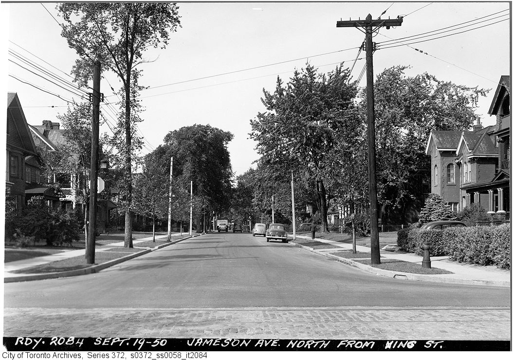

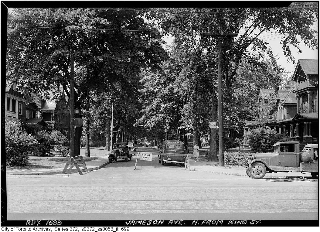
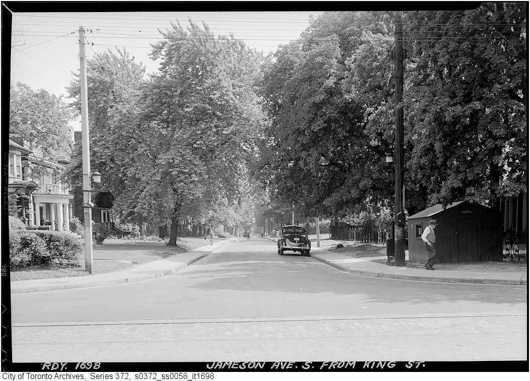
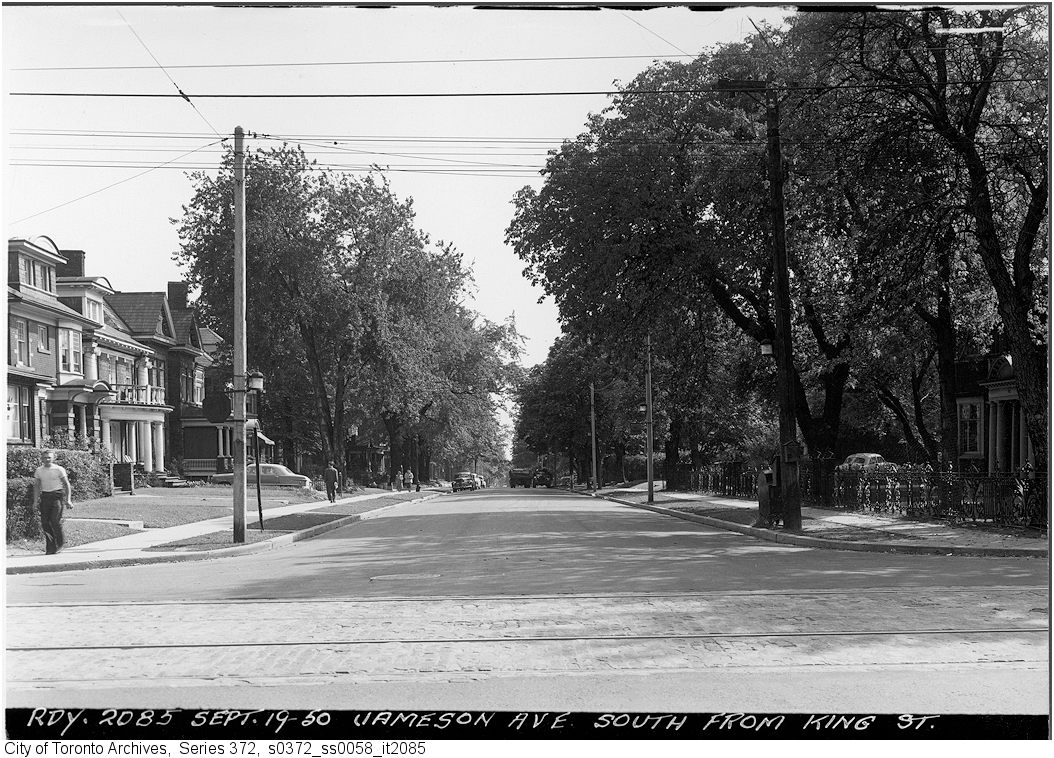

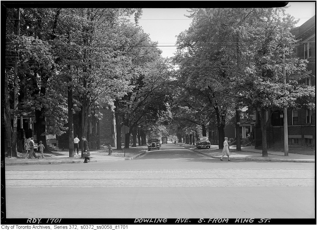
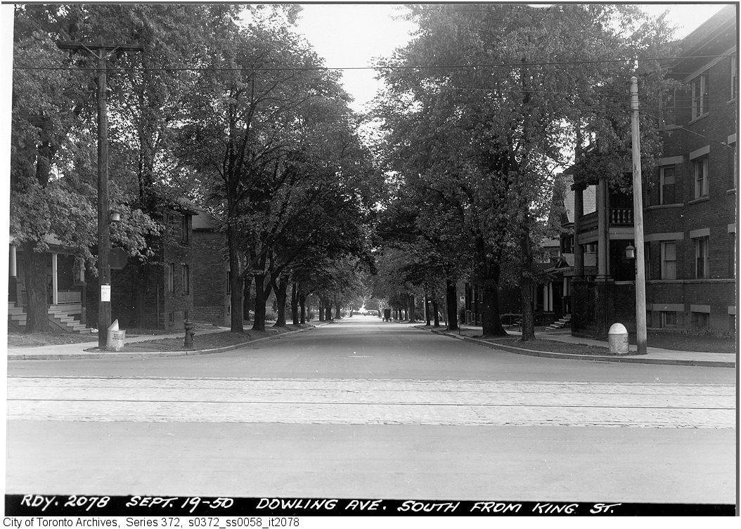
Photo locations are matched from each photo’s title against City street and address data, so some may be off. Report a wrong location