Basement flooding study areaBFA44Your areaBasement Flooding Study Areas · the City divides all of Toronto into study areas; this names yours, not a risk level
Lead in tap water samples, postal area M5R4 of 188 above 0.01 ppmYour area · M5RNon Regulated Lead Sample · Jan 22, 2014 to Aug 27, 2026
TRCA mapping is for screening, not site-specific decisions. Lead results are voluntary samples from homes in the postal area, not this address.
03What’s changing nearby
1
285 Avenue Rd· 181 m · Committee of Adjustment · Minor variance · Approved
To alter the parking space (size) standards of the approved 9-storey residential building with a 3-level underground parking garage (currently under construction).
File A0849/23TEY · submitted Sep 21, 2023
Development Applications; Committee of Adjustment Applications · 6 registered short-term rentals within 250 m.
No. It is outside TRCA's mapped flood and shoreline hazard areas. Source: TRCA Regulation mapping 2025.
What is being built near 171 Macpherson Ave?
0 active development applications within 250 metres. Source: Development Applications.
When is garbage day at 171 Macpherson Ave?
Collection calendar Tuesday 2. Next garbage pickup: Nov 10, 2026. Source: Solid Waste Collection Schedule.
Answers are generated from the data on this page and update when the data changes.
06From the archives
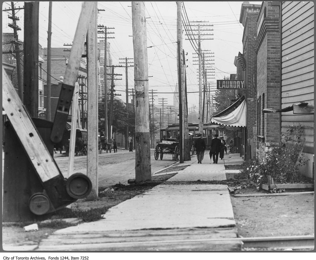
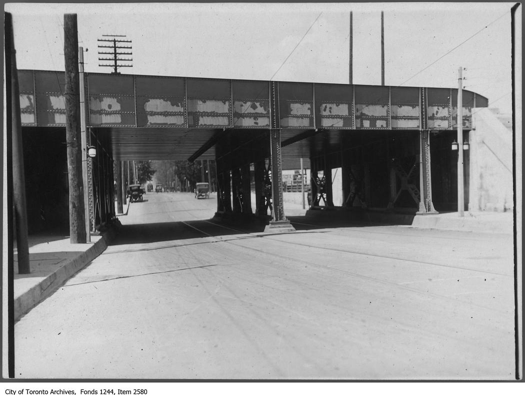
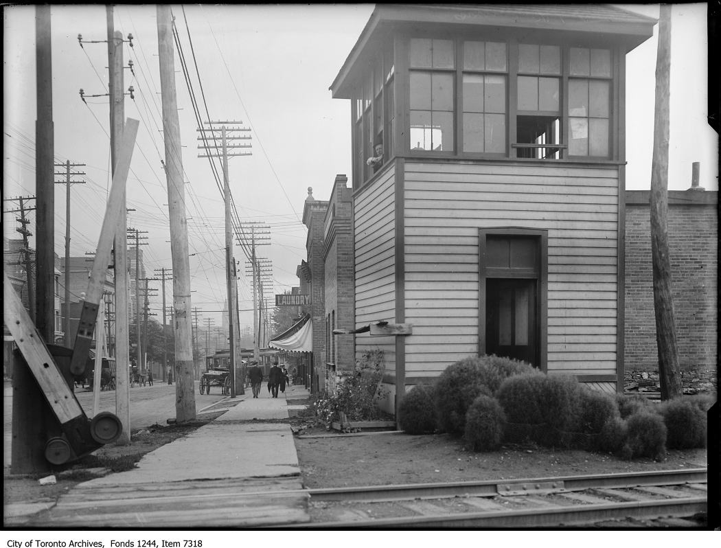
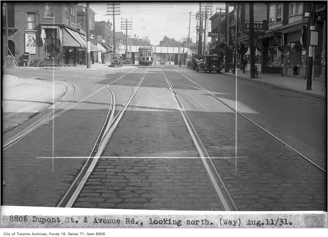
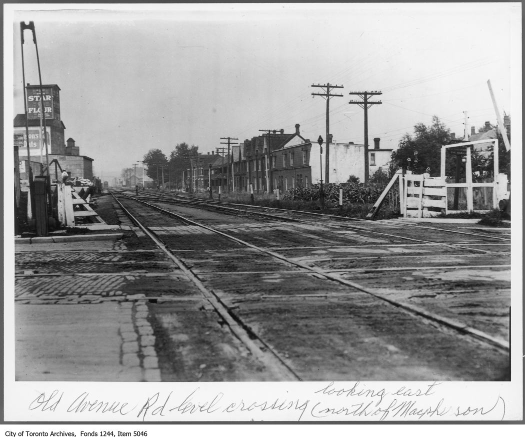
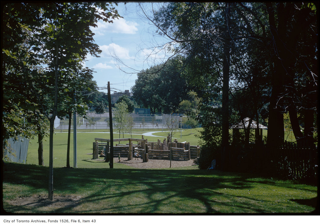
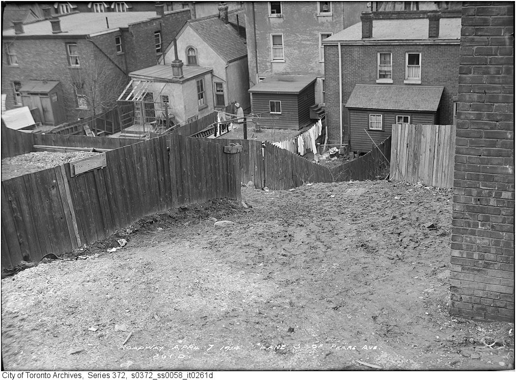
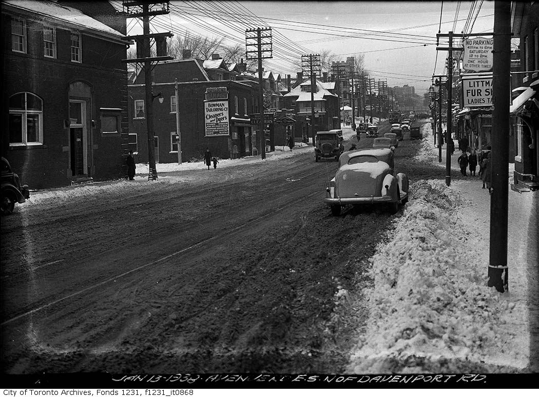
Avenue Road, looking south to Dupont Street, 1910. City of Toronto Archives, Fonds 1244, Item 7252. 74 m away.Church Of The Messiah (Anglican), Avenue Rd., s.w. cor. Dupont St. , 1956. Courtesy of Toronto Public Library. 74 m away.Avenue Road and CPR bridge at Dupont Street, 1922. City of Toronto Archives, Fonds 1244, Item 2580. 74 m away.Avenue Road, looking south to Dupont Street from CPR level crossing, 1909. City of Toronto Archives, Fonds 1244, Item 7318. 74 m away.Dupont St and Avenue Rd, looking north, (Way Department), 1931. City of Toronto Archives, Fonds 16, Series 71, Item 8806. 74 m away.Avenue Road level crossing, north of Macpherson, looking east., 1910. City of Toronto Archives, Fonds 1244, Item 5046. 87 m away.View of park on the east side of Avenue Road, north of Pears Avenue, 1974. City of Toronto Archives, Fonds 1526, File 6, Item 43. 227 m away.Lane south of Pears Avenue east of Avenue Road, 1914. City of Toronto Archives, Fonds 200, Series 372, Subseries 58, Item 261d. 227 m away.Avenue Road north at Pears Avenue, 1938. City of Toronto Archives, Fonds 1231, Item 868. 227 m away.
Photo locations are matched from each photo’s title against City street and address data, so some may be off. Report a wrong location
We use Google Analytics cookies to see which parts of the site help people. We never send the addresses you search. Privacy
171 Macpherson Ave, Toronto — address report · My Address in Toronto