Basement flooding study areaBFA32Your areaBasement Flooding Study Areas · the City divides all of Toronto into study areas; this names yours, not a risk level
Lead in tap water samples, postal area M4L10 of 592 above 0.01 ppmYour area · M4LNon Regulated Lead Sample · Jan 15, 2014 to Sep 18, 2026
TRCA mapping is for screening, not site-specific decisions. Lead results are voluntary samples from homes in the postal area, not this address.
03What’s changing nearby
1
1702 Queen St E· 250 m · Site Plan · Under Review
Site Plan Approval for a 6-storey mixed-use building having a non-residential gross floor area of 1120 square metres, and a residential gross floor area of 9201 square metres. 91 residential dwelling units are proposed.
File 21 235161 STE 19 SA · submitted Nov 7, 2021 · City record
2
1702 Queen St E· 250 m · Official Plan / Rezoning · Council Approved
Official Plan & Zoning By-law Amendment for a 10-storey mixed-use building with a height of 34.95 metres (plus a 5.5 metre mechanical penthouse). The proposed building will include approximately 1,184 square metres of non-residential…
File 25 150383 STE 19 OZ · submitted Apr 28, 2025 · City record
3
1702 Queen St E· 250 m · Subdivision · Under Review
Draft Plan of Subdivision for 3 Block.
File 21 235162 STE 19 SB · submitted Nov 7, 2021 · City record
Development Applications; Committee of Adjustment Applications · 11 registered short-term rentals within 250 m.
No. It is outside TRCA's mapped flood and shoreline hazard areas. Source: TRCA Regulation mapping 2025.
What is being built near 1716 Queen St E?
3 active development applications within 250 metres, the closest at 1702 Queen St E (250 m). Source: Development Applications.
When is garbage day at 1716 Queen St E?
Collection calendar Tuesday 1. Next garbage pickup: Nov 17, 2026. Source: Solid Waste Collection Schedule.
Answers are generated from the data on this page and update when the data changes.
06From the archives
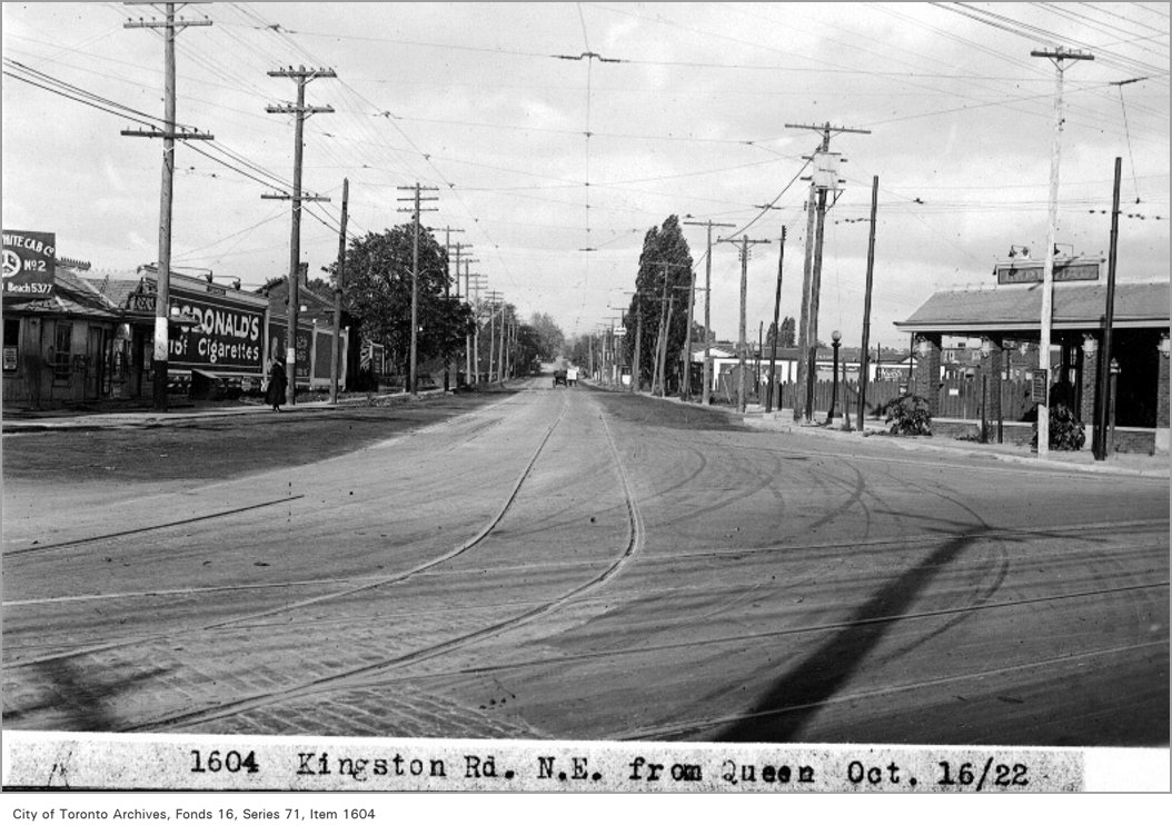
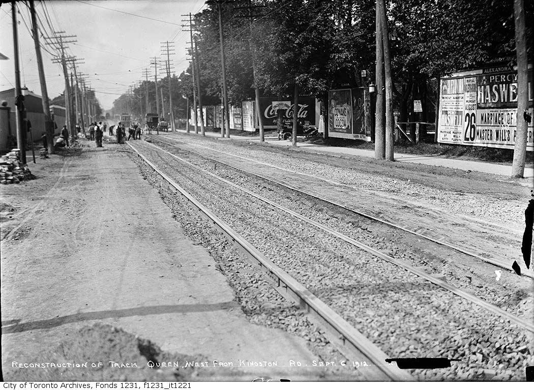
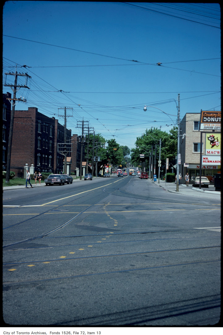
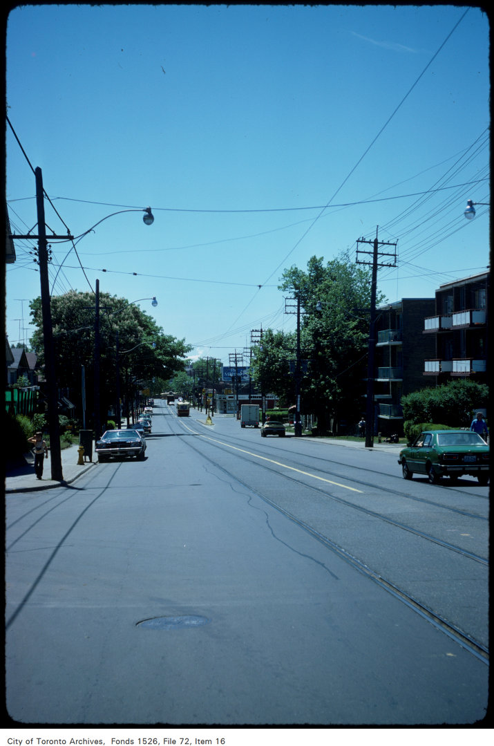
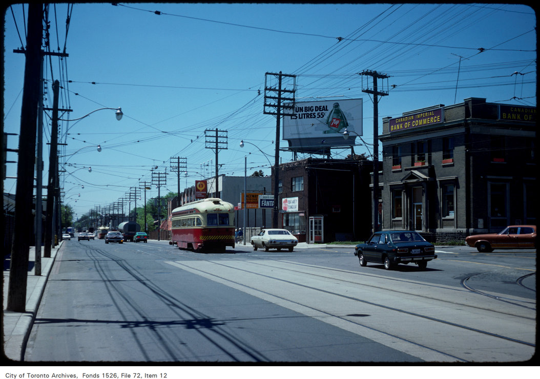
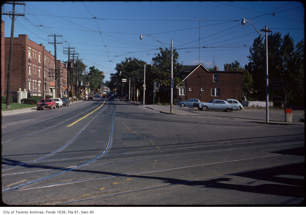
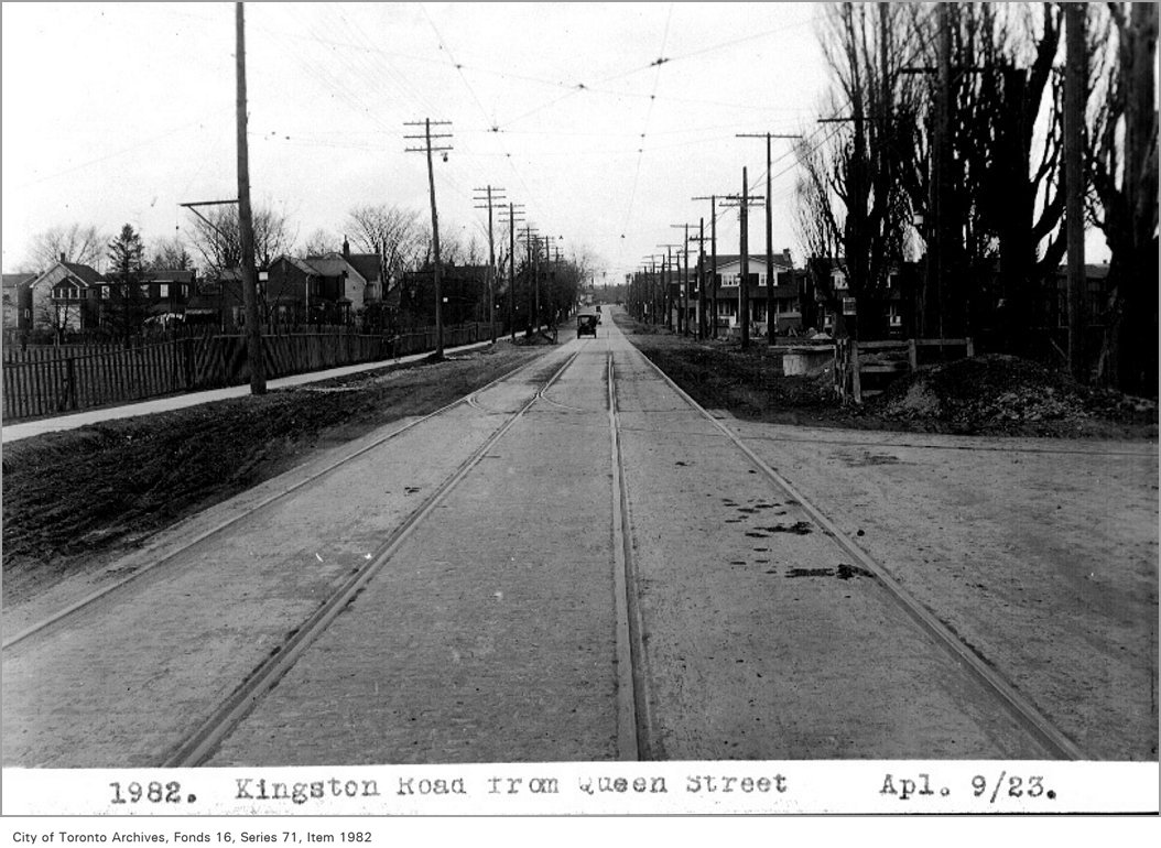
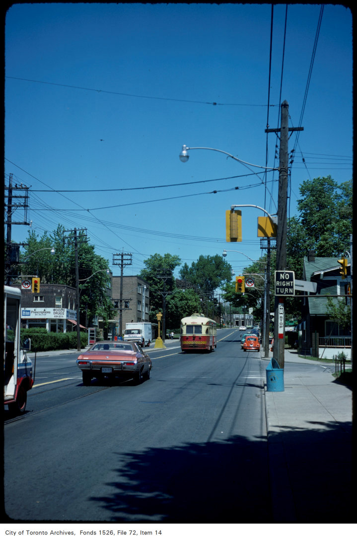
Kingston Rd, north-east, from Queen, 1922. City of Toronto Archives, Fonds 16, Series 71, Item 1604. 60 m away.Queen Street west from Kingston Road, reconstruction of track, 1912. City of Toronto Archives, Fonds 1231, Item 1221. 60 m away.Kingston Rd. Methodist Church, Queen St. E., n.w. corner Vancouver Ave. , 1880. Courtesy of Toronto Public Library. 60 m away.View of Kingston Road looking north from Queen Street East, 1977. City of Toronto Archives, Fonds 1526, File 72, Item 13. 60 m away.View of Kingston Road looking south, north of Queen, 1977. City of Toronto Archives, Fonds 1526, File 72, Item 16. 60 m away.View of Kingston Road at Queen Street East, 1977. City of Toronto Archives, Fonds 1526, File 72, Item 12. 60 m away.Kingston Rd from Queen St East, 1974. City of Toronto Archives, Fonds 1526, File 61, Item 40. 60 m away.Kingston Road, from Queen Street, 1923. City of Toronto Archives, Fonds 16, Series 71, Item 1982. 60 m away.View of Kingston Road, north of Queen at Dundas Street East, 1977. City of Toronto Archives, Fonds 1526, File 72, Item 14. 121 m away.
Photo locations are matched from each photo’s title against City street and address data, so some may be off. Report a wrong location
We use Google Analytics cookies to see which parts of the site help people. We never send the addresses you search. Privacy
1716 Queen St E, Toronto — address report · My Address in Toronto