175 Main St
An address in East End-Danforth, outside TRCA flood and shoreline hazard areas, with 15 active development applications within 250 metres.
Data as of Nov 7, 2026 · Every item lists its source
- Outside TRCA flood and shoreline hazard areas.
- 15 active development applications and 0 Committee of Adjustment applications within 250 m.
01The building
Recent permits (7)
- Sprinklers · Inspection · Dec 14, 2022
Proposal to upgrade the fire sprinkler system throughout the existing building - "Beaches Bubble Arena" · Permit 22 225788 FSU - Multiple Projects · Inspection · Dec 31, 2021
Proposal to construct a new snow melting pit addition, replace existing ice rink slab and related refrigeration equipment, and general state of good repair to existing arena. Structural… · Permit 21 209087 BLD - Building Permit Related(PS) · Inspection · Dec 31, 2021
Plumbing - Proposal to construct a new snow melting pit addition, replace existing ice rink slab and related refrigeration equipment, and general state of good repair. · Permit 21 209087 PLB - Building Permit Related(MS) · Permit Issued · Dec 31, 2021
HVAC - Proposal to construct a new snow melting pit addition, replace existing ice rink slab and related refrigeration equipment, and general state of good repair. · Permit 21 209087 HVA - Solar Collector · Closed · Oct 18, 2017
Installation of rooftop photovoltaic array on an existing building · Permit 17 231326 DST - Building Permit Related(PS) · Inspection · Aug 18, 2003
Plumbing - Install fixtures as per attached data sheet and install 200 mm water service, 150mm sanitary drain, and relocate 3 catch basins. · Permit 03 136919 PLB - Building Permit Related(MS) · Inspection · Aug 18, 2003
INSTALL HVAC SYSTEM · Permit 03 136919 HVA
02Risks and the ground
TRCA mapping is for screening, not site-specific decisions. Lead results are voluntary samples from homes in the postal area, not this address.
03What’s changing nearby
- 16 Dawes Rd · 63 m · Site Plan · NOAC IssuedSite Plan Approval for three towers having heights of 29, 39, and 37-storeys. The proposed non-residential gross floor area is 2188 square metres, and the proposed residential gross floor area is 71,340 square metres. 897 rental…File 22 137808 STE 19 SA · submitted Apr 25, 2022 · City record
- 26 Dawes Rd · 63 m · Subdivision · Draft Plan ApprovedDraft Plan of Subdivision to create 2 development blocks, a public road, and a public park.File 21 218416 STE 19 SB · submitted Sep 27, 2021 · City record
- 32681 Danforth Ave · 197 m · Official Plan / Rezoning · OMB AppealRezoning and Official Plan Amendment applications for a 33 storey residential tower (Tower A) and a 48 storey residential tower (Tower B) connected by a 2-8 storey base which together contains 1,050 new residential dwelling units, a total…File 22 241654 STE 19 OZ · submitted Dec 21, 2022 · City record
- 42575 Danforth Ave · 204 m · Official Plan / Rezoning · OMB AppealRezoning application to redevelop certain portions of this large 3.18-hectare property with five new buildings (Buildings E to I) ranging in height from 15 to 55-storeys and accommodating approximately 1,543 new residential units, with a…File 22 196279 STE 19 OZ · submitted Aug 26, 2022 · City record
- 510 Dawes Rd · 206 m · Site Plan · NOAC IssuedSite Plan Approval for two mixed-use towers having heights of 24 and 38-storeys, and having a residential gross floor area of 40,408 square metres, and a non-residential gross floor area of 2670 square metres. A total of 636 residential…File 21 196125 STE 19 SA · submitted Aug 10, 2021 · City record
- 610 Dawes Rd · 206 m · Condominium · Draft Plan ApprovedDraft Plan of Condominium for 373 residential units.File 26 254299 STE 19 CD · submitted Oct 14, 2026 · City record
- 78 Dawes Rd · 211 m · Site Plan · Under ReviewSite Plan application for a 52 residential building with retail at grade containing 579 units, inlcuding 12 units of affordable housing , The development contains a total gross floor area (GFA) of 35,973m2 which is primarily residential…File 22 225743 STE 19 SA · submitted Nov 3, 2022 · City record
- 88 Dawes Rd · 211 m · Official Plan / Rezoning · OMB AppealRezoning application for a 52 residential building with retail at grade containing 579 units, inlcuding 12 units of affordable housing , The development contains a total gross floor area (GFA) of 35,973m2 which is primarily residential…File 22 225744 STE 19 OZ · submitted Nov 3, 2022 · City record
- 910 A Dawes Rd · 215 m · Site Plan · NOAC IssuedSite Plan Approval for two mixed-use towers having heights of 24 and 38-storeys, and having a residential gross floor area of 40,408 square metres, and a non-residential gross floor area of 2670 square metres. A total of 636 residential…File 21 196125 STE 19 SA · submitted Aug 10, 2021 · City record
- 1010 A Dawes Rd · 215 m · Condominium · Draft Plan ApprovedDraft Plan of Condominium for 373 residential units.File 26 254299 STE 19 CD · submitted Oct 14, 2026 · City record
- 1112 Dawes Rd · 219 m · Condominium · Draft Plan ApprovedDraft Plan of Condominium for 373 residential units.File 26 254299 STE 19 CD · submitted Oct 14, 2026 · City record
- 1212 Dawes Rd · 219 m · Site Plan · NOAC IssuedSite Plan Approval for two mixed-use towers having heights of 24 and 38-storeys, and having a residential gross floor area of 40,408 square metres, and a non-residential gross floor area of 2670 square metres. A total of 636 residential…File 21 196125 STE 19 SA · submitted Aug 10, 2021 · City record
Development Applications; Committee of Adjustment Applications · 4 registered short-term rentals within 250 m.
04City services
05Quick answers about 175 Main St
Is 175 Main St in a flood plain?
No. It is outside TRCA's mapped flood and shoreline hazard areas. Source: TRCA Regulation mapping 2025.
What is being built near 175 Main St?
15 active development applications within 250 metres, the closest at 6 Dawes Rd (63 m). Source: Development Applications.
When is garbage day at 175 Main St?
Collection calendar Tuesday 1. Next garbage pickup: Nov 17, 2026. Source: Solid Waste Collection Schedule.
Answers are generated from the data on this page and update when the data changes.
06From the archives
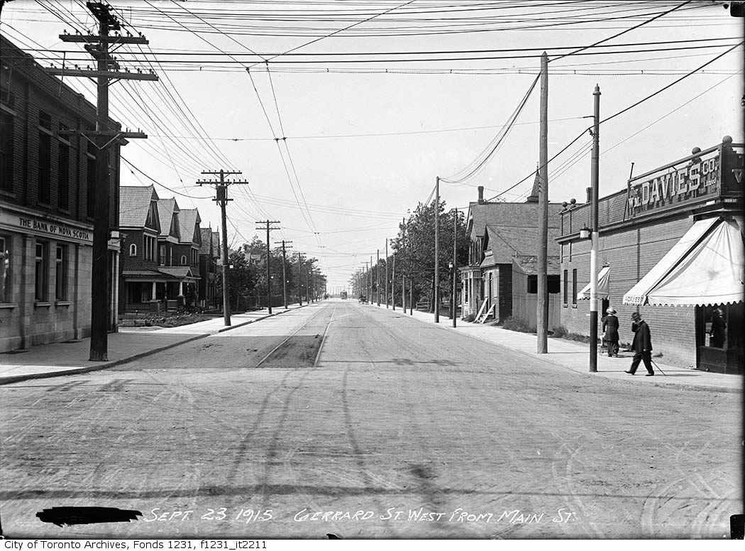
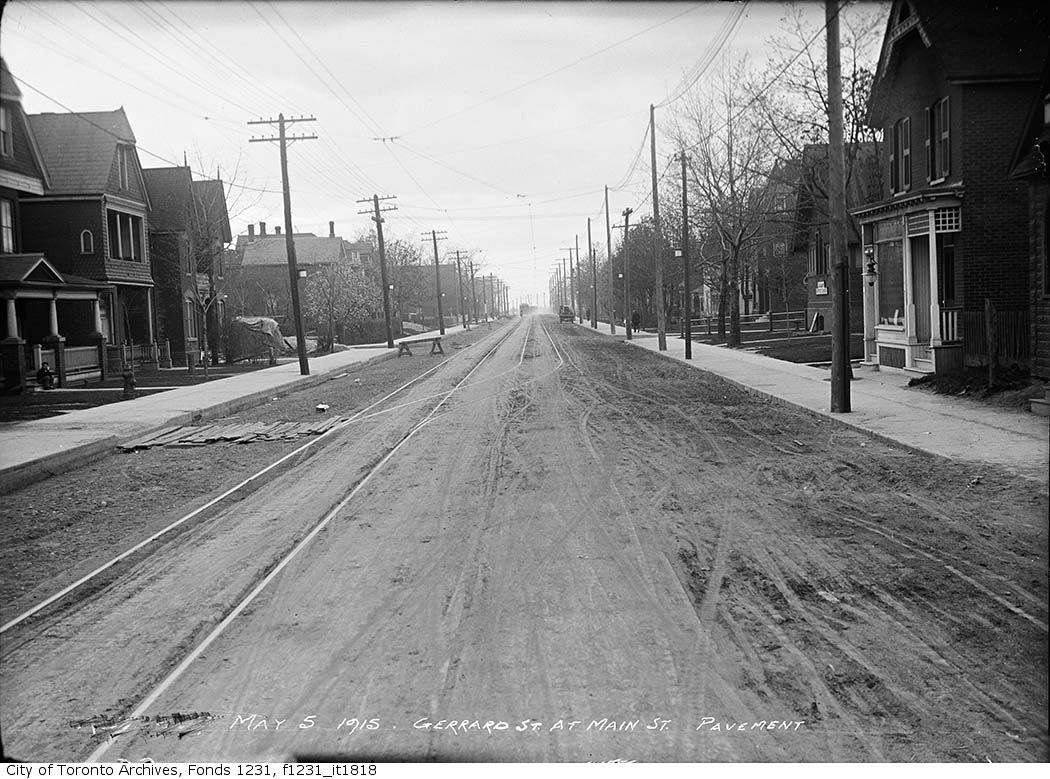
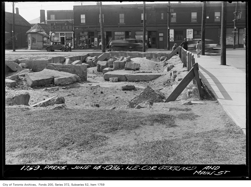
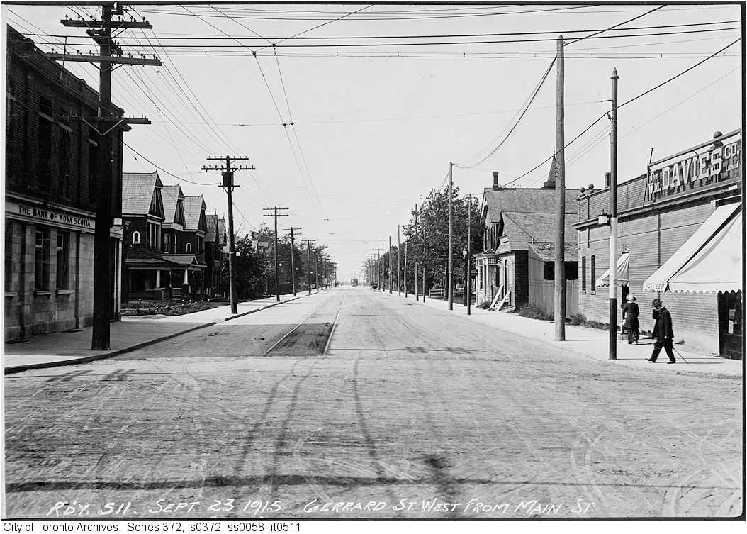
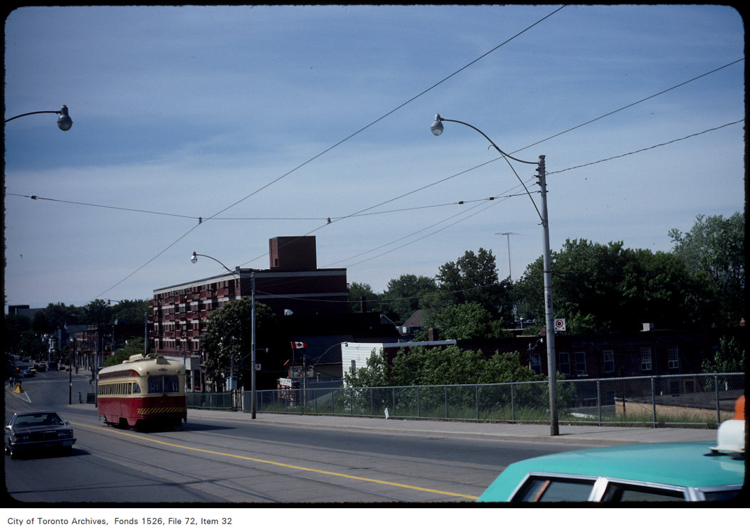


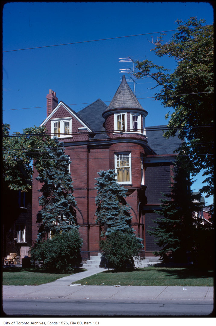
Photo locations are matched from each photo’s title against City street and address data, so some may be off. Report a wrong location