0 active development applications and 1 Committee of Adjustment application within 250 m.
RentSafe score—not a registered apartment building
Fire code violations—no inspection records
Applications1active within 250 m
Flood hazardOutsideTRCA mapping
The red circle shows the 250-metre radius used for “Nearby” items. Numbers match the applications listed below.
01The building
ItemFindingPrecisionSource · as of
RentSafe evaluationNot a registered apartment buildingThis addressApartment Building Evaluation
Fire code inspectionsNo inspection recordsThis addressResidential Fire Inspection Results
Building orders and noticesNone open (1 closed)This addressBuilding Construction/Demolition Violations
Building permits, last 5 years0 permitsThis addressBuilding Permits · 2 on record
Short-term rentalNot registeredThis addressShort Term Rentals Registration
Heritage statusNot on the Heritage RegisterThis addressHeritage Register
Recent permits (2)
Building Permit Related(MS) · Inspection · Jun 15, 2005 HVAC - Structural and architectural revisions to original BP #425074 - Other(BA) · Permit 05 113876 HVA
Building Permit Related(PS) · Inspection · Jan 14, 2005 Plumbing and Underground drains to permit 425074 for condominium building. · Permit 05 100542 PLB
02Risks and the ground
ItemFindingPrecisionSource · as of
River flood hazardOutsideThis addressTRCA Regulation mapping 2025
Lake shoreline hazardOutsideThis addressTRCA Regulation mapping 2025
Basement flooding study areaBFA32Your areaBasement Flooding Study Areas · the City divides all of Toronto into study areas; this names yours, not a risk level
Lead in tap water samples, postal area M4L10 of 592 above 0.01 ppmYour area · M4LNon Regulated Lead Sample · Jan 15, 2014 to Sep 18, 2026
TRCA mapping is for screening, not site-specific decisions. Lead results are voluntary samples from homes in the postal area, not this address.
03What’s changing nearby
1
100 Kippendavie Ave· 195 m · Committee of Adjustment · Minor variance · PostponedFile A0659/26TEY · submitted Sep 14, 2026
Development Applications; Committee of Adjustment Applications · 15 registered short-term rentals within 250 m.
No. It is outside TRCA's mapped flood and shoreline hazard areas. Source: TRCA Regulation mapping 2025.
What is being built near 1847 Queen St E?
0 active development applications within 250 metres. Source: Development Applications.
When is garbage day at 1847 Queen St E?
Collection calendar Tuesday 1. Next garbage pickup: Nov 17, 2026. Source: Solid Waste Collection Schedule.
Answers are generated from the data on this page and update when the data changes.
06From the archives
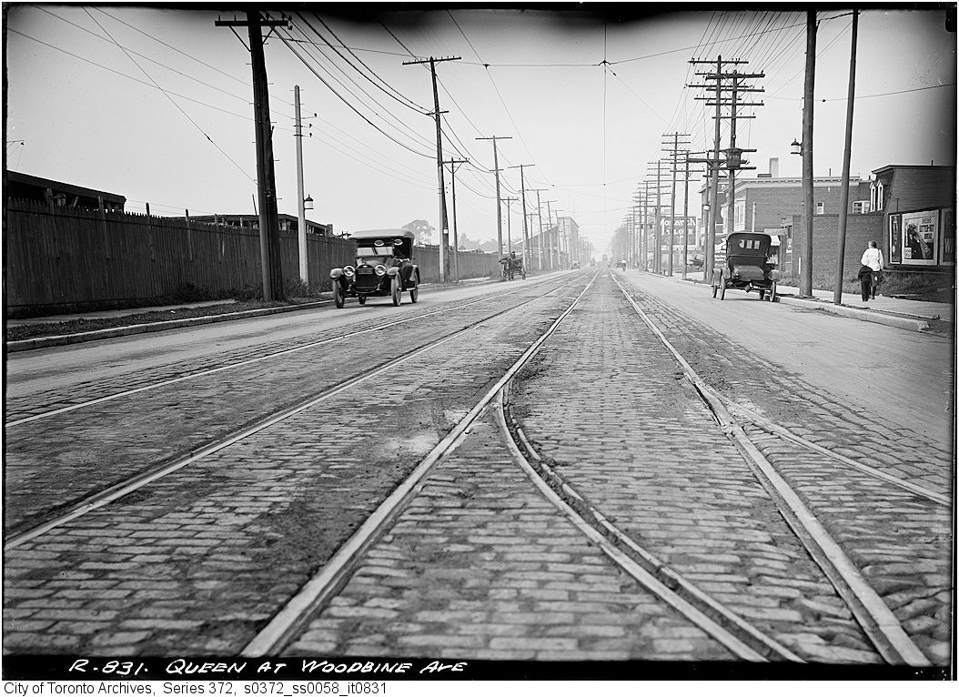
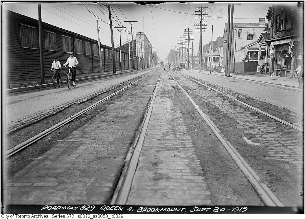
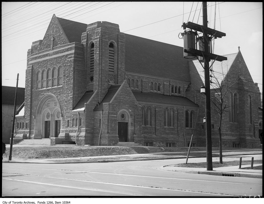
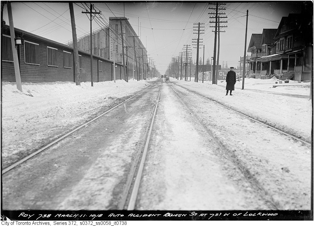
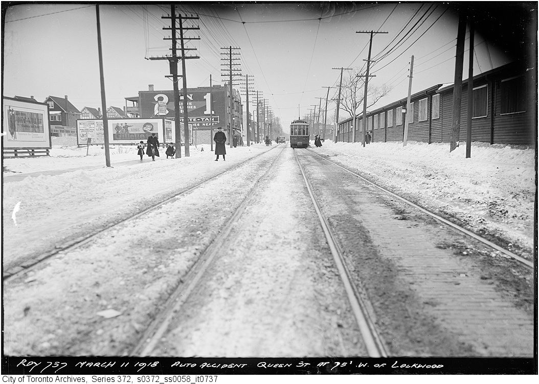
Queen St. at Woodbine Ave. - track, 1919. City of Toronto Archives, Fonds 200, Series 372, Subseries 58, Item 831. 82 m away.Woodbine Avenue, looking north from Queen Street East, Toronto, Ont. , 1972. Courtesy of Toronto Public Library. 82 m away.House, Queen Street East, no. 1903, south side, east of Woodbine Avenue, Toronto, Ont. , 1972. Courtesy of Toronto Public Library. 82 m away.Queen St. at Brookmount - track, 1919. City of Toronto Archives, Fonds 200, Series 372, Subseries 58, Item 829. 112 m away.Fire Hall, Toronto, Queen St. E., n.w. corner Herbert Ave. , 1952. Courtesy of Toronto Public Library. 176 m away.Corpus Christi Church, Lockwood Road & Queen Street East, 1927. City of Toronto Archives, Fonds 1266, Item 10364. 208 m away.Auto accident on Queen St. 75 ft. west of Lockwood, 1918. City of Toronto Archives, Fonds 200, Series 372, Subseries 58, Item 738. 208 m away.Auto accident on Queen St. 75 ft. west of Lockwood, 1918. City of Toronto Archives, Fonds 200, Series 372, Subseries 58, Item 737. 208 m away.House, Kippendavie Avenue, no. 96, west side, south of Queen Street East, Toronto, Ont. , 1973. Courtesy of Toronto Public Library. 241 m away.
Photo locations are matched from each photo’s title against City street and address data, so some may be off. Report a wrong location
We use Google Analytics cookies to see which parts of the site help people. We never send the addresses you search. Privacy
1847 Queen St E, Toronto — address report · My Address in Toronto