19 Hook Ave
An address in Junction Area, outside TRCA flood and shoreline hazard areas, with 11 active development applications within 250 metres.
Data as of Nov 7, 2026 · Every item lists its source
- Outside TRCA flood and shoreline hazard areas.
- 11 active development applications and 0 Committee of Adjustment applications within 250 m.
01The building
Recent permits (2)
- Interior Alterations · Inspection · Feb 4, 2020
interior alterations to main floor · Permit 20 106010 BLD - Building Permit Related(PS) · Revocation Pending · Feb 4, 2020
Plumbing - interior alterations to main floor · Permit 20 106010 PLB
02Risks and the ground
TRCA mapping is for screening, not site-specific decisions. Lead results are voluntary samples from homes in the postal area, not this address.
03What’s changing nearby
- 144 Lindner St · 106 m · Official Plan / Rezoning · OMB AppealOfficial Plan and Zoning By-law amendment application to facilitate the development of the site for two mixed use buildings of 28 and 39 storeys on an 11 storey podium and a 5 storey non-residential building.File 21 199583 STE 09 OZ · submitted Aug 17, 2021 · City record
- 244 Lindner St · 106 m · Site Plan · Under ReviewThe site plan application proposes mix of mid-rise and tall building typologies and includes two mid-rise buildings that range from 8- to 11-storeys and a 27-storey tall building. Overall, the proposed development includes a total gross…File 23 129424 STE 09 SA · submitted Mar 31, 2023 · City record
- 346 Lindner St · 108 m · Site Plan · Under ReviewThe site plan application proposes mix of mid-rise and tall building typologies and includes two mid-rise buildings that range from 8- to 11-storeys and a 27-storey tall building. Overall, the proposed development includes a total gross…File 23 129424 STE 09 SA · submitted Mar 31, 2023 · City record
- 446 Lindner St · 108 m · Official Plan / Rezoning · OMB AppealOfficial Plan and Zoning By-law amendment application to facilitate the development of the site for two mixed use buildings of 28 and 39 storeys on an 11 storey podium and a 5 storey non-residential building.File 21 199583 STE 09 OZ · submitted Aug 17, 2021 · City record
- 550 Lindner St · 110 m · Site Plan · Under ReviewThe site plan application proposes mix of mid-rise and tall building typologies and includes two mid-rise buildings that range from 8- to 11-storeys and a 27-storey tall building. Overall, the proposed development includes a total gross…File 23 129424 STE 09 SA · submitted Mar 31, 2023 · City record
- 650 Lindner St · 110 m · Official Plan / Rezoning · OMB AppealOfficial Plan and Zoning By-law amendment application to facilitate the development of the site for two mixed use buildings of 28 and 39 storeys on an 11 storey podium and a 5 storey non-residential building.File 21 199583 STE 09 OZ · submitted Aug 17, 2021 · City record
- 752 Lindner St · 112 m · Site Plan · Under ReviewThe site plan application proposes mix of mid-rise and tall building typologies and includes two mid-rise buildings that range from 8- to 11-storeys and a 27-storey tall building. Overall, the proposed development includes a total gross…File 23 129424 STE 09 SA · submitted Mar 31, 2023 · City record
- 852 Lindner St · 112 m · Official Plan / Rezoning · OMB AppealOfficial Plan and Zoning By-law amendment application to facilitate the development of the site for two mixed use buildings of 28 and 39 storeys on an 11 storey podium and a 5 storey non-residential building.File 21 199583 STE 09 OZ · submitted Aug 17, 2021 · City record
- 95 Junction Rd · 190 m · Subdivision · Under ReviewA Plan of Subdivision application to establish 7 blocks and the public street to implement the proposed Official Plan and Zoning By-law amendment, file no. 21 182017 WET 05 OZ.File 21 182023 WET 05 SB · submitted Jul 9, 2021 · City record
- 10189 Old Weston Rd · 224 m · Site Plan · Under ReviewThe site plan application proposes mix of mid-rise and tall building typologies and includes two mid-rise buildings that range from 8- to 11-storeys and a 27-storey tall building. Overall, the proposed development includes a total gross…File 23 129424 STE 09 SA · submitted Mar 31, 2023 · City record
- 11189 Old Weston Rd · 224 m · Official Plan / Rezoning · OMB AppealOfficial Plan and Zoning By-law amendment application to facilitate the development of the site for two mixed use buildings of 28 and 39 storeys on an 11 storey podium and a 5 storey non-residential building.File 21 199583 STE 09 OZ · submitted Aug 17, 2021 · City record
Development Applications; Committee of Adjustment Applications · 5 registered short-term rentals within 250 m.
04City services
05Quick answers about 19 Hook Ave
Is 19 Hook Ave in a flood plain?
No. It is outside TRCA's mapped flood and shoreline hazard areas. Source: TRCA Regulation mapping 2025.
What is being built near 19 Hook Ave?
11 active development applications within 250 metres, the closest at 44 Lindner St (106 m). Source: Development Applications.
When is garbage day at 19 Hook Ave?
Collection calendar Friday 1. Next garbage pickup: Nov 20, 2026. Source: Solid Waste Collection Schedule.
Answers are generated from the data on this page and update when the data changes.
06From the archives

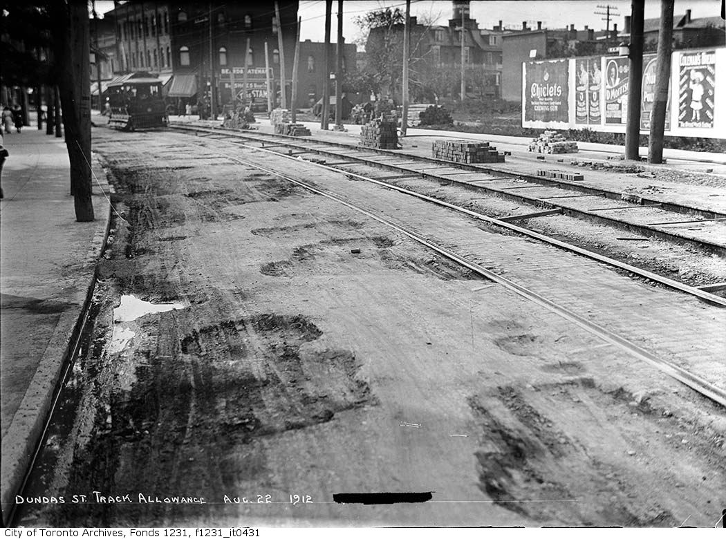
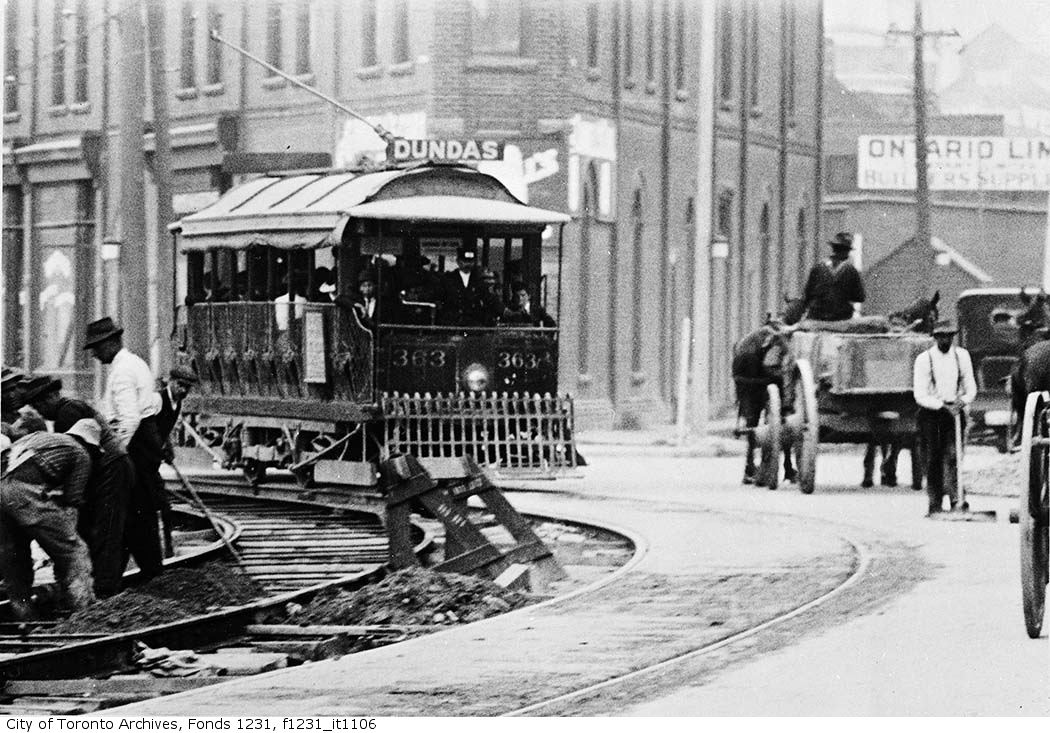
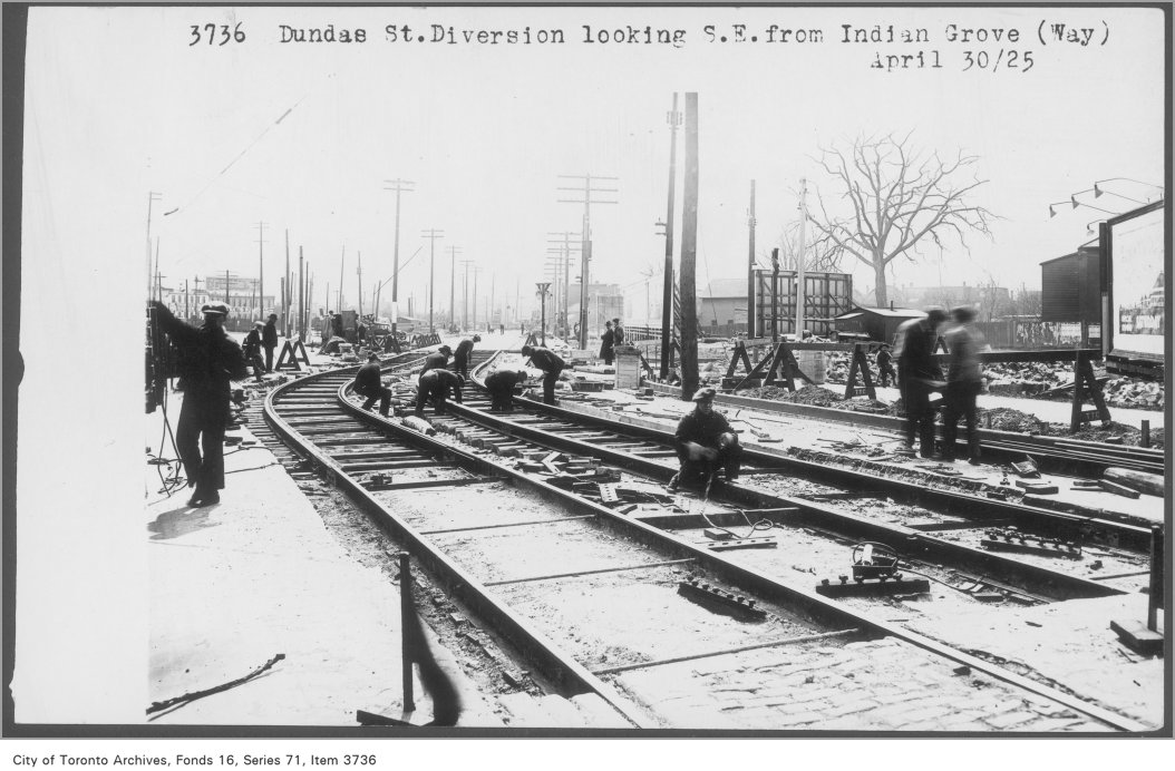
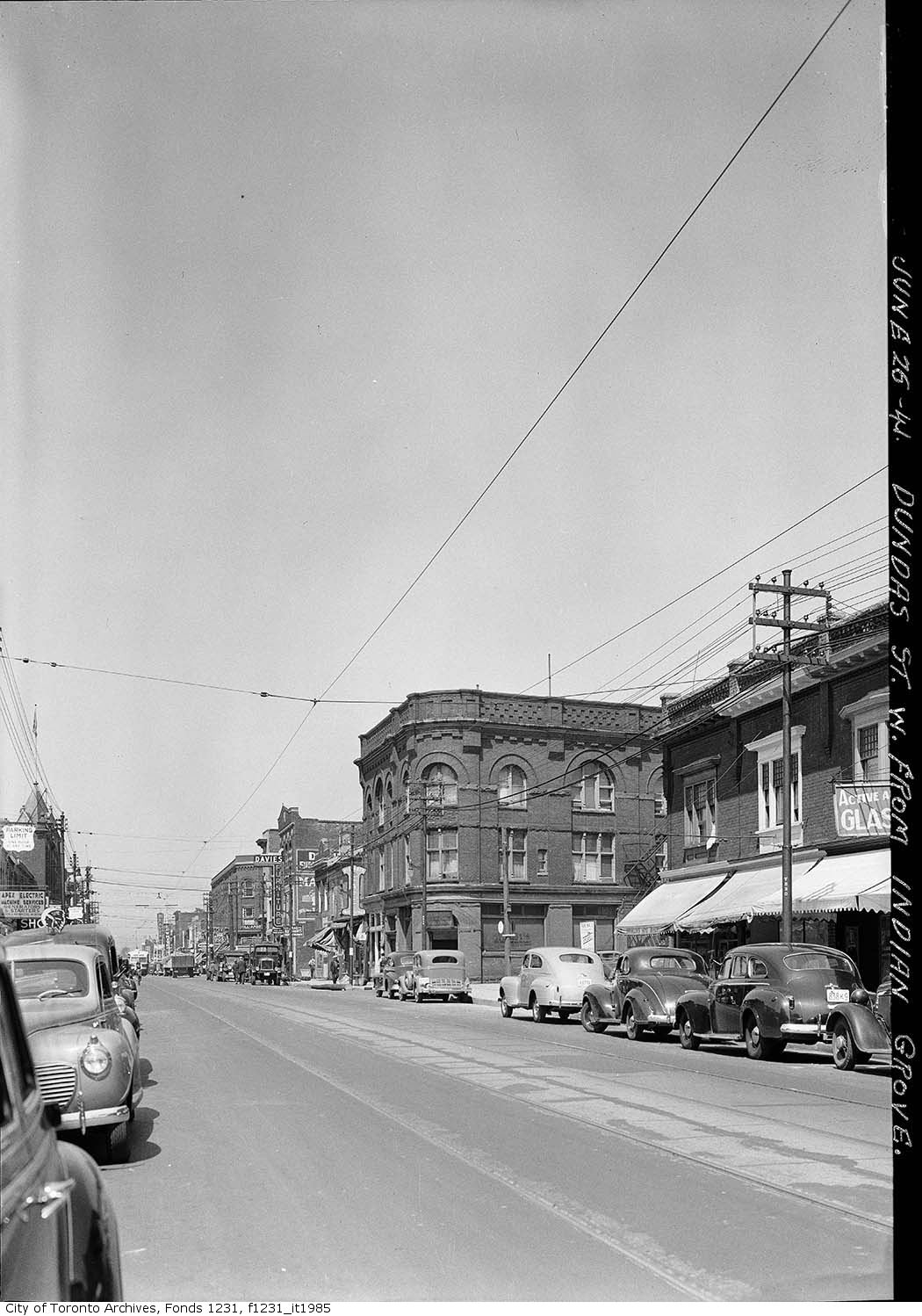
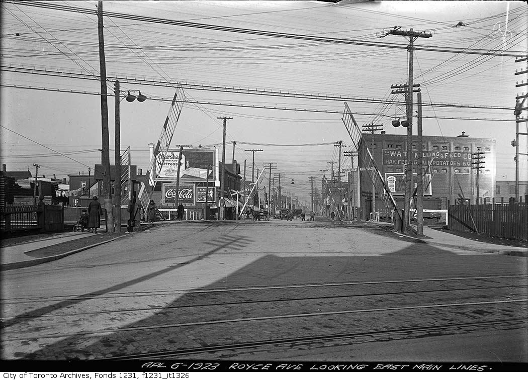
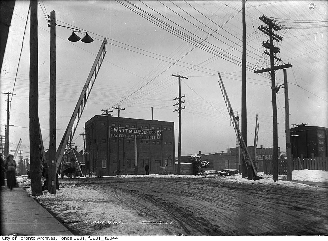
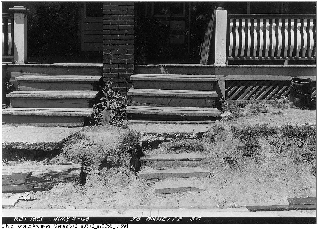
Photo locations are matched from each photo’s title against City street and address data, so some may be off. Report a wrong location