1999 Danforth Ave
An address in Woodbine Corridor, outside TRCA flood and shoreline hazard areas, with 8 active development applications within 250 metres.
Data as of Nov 7, 2026 · Every item lists its source
- Outside TRCA flood and shoreline hazard areas.
- 8 active development applications and 1 Committee of Adjustment application within 250 m.
01The building
Recent permits (2)
- Other(BA) · Permit Issued · Apr 5, 2023
Party wall admin permit , related to work being done at 1997 Danforth ave · Permit 23 109970 BLD - Interior Alterations · Inspection · Dec 20, 2022
Proposal for interior alterations to create 2 openings in the partywall on the ground floor to merge the retail spaces between 1991 and 2001 Danforth Ave.See also 21 232407 WNP. · Permit 22 104624 BLD
02Risks and the ground
TRCA mapping is for screening, not site-specific decisions. Lead results are voluntary samples from homes in the postal area, not this address.
03What’s changing nearby
- 112 Coleridge Ave · 159 m · Condominium · Draft Plan ApprovedDraft Plan of Standard Condominium for 2 residential units.File 25 145670 STE 19 CD · submitted Apr 16, 2025 · City record
- 2985 Woodbine Ave · 172 m · Site Plan · Under ReviewSite Plan Control application to permit a 10- and 35-storey mixed-use building connected by a 1-storey podium, containing 601 rental dwelling units and 4,474.3 square metres of non-residential gross floor area. The application includes a…File 24 251716 STE 19 SA · submitted Dec 18, 2024 · City record
- 32078 Danforth Ave · 188 m · Site Plan · Under ReviewSite Plan Control application to permit a 10- and 35-storey mixed-use building connected by a 1-storey podium, containing 601 rental dwelling units and 4,474.3 square metres of non-residential gross floor area. The application includes a…File 24 251716 STE 19 SA · submitted Dec 18, 2024 · City record
- 42084 Danforth Ave · 191 m · Site Plan · Under ReviewSite Plan Control application to permit a 10- and 35-storey mixed-use building connected by a 1-storey podium, containing 601 rental dwelling units and 4,474.3 square metres of non-residential gross floor area. The application includes a…File 24 251716 STE 19 SA · submitted Dec 18, 2024 · City record
- 52086 Danforth Ave · 196 m · Site Plan · Under ReviewSite Plan Control application to permit a 10- and 35-storey mixed-use building connected by a 1-storey podium, containing 601 rental dwelling units and 4,474.3 square metres of non-residential gross floor area. The application includes a…File 24 251716 STE 19 SA · submitted Dec 18, 2024 · City record
- 62100 Danforth Ave · 206 m · Site Plan · Under ReviewSite Plan Control application to permit a 10- and 35-storey mixed-use building connected by a 1-storey podium, containing 601 rental dwelling units and 4,474.3 square metres of non-residential gross floor area. The application includes a…File 24 251716 STE 19 SA · submitted Dec 18, 2024 · City record
- 72102-2104 Danforth Ave · 214 m · Site Plan · Under ReviewSite Plan Control application to permit a 10- and 35-storey mixed-use building connected by a 1-storey podium, containing 601 rental dwelling units and 4,474.3 square metres of non-residential gross floor area. The application includes a…File 24 251716 STE 19 SA · submitted Dec 18, 2024 · City record
- 82112 Danforth Ave · 218 m · Site Plan · Under ReviewSite Plan Control application to permit a 10- and 35-storey mixed-use building connected by a 1-storey podium, containing 601 rental dwelling units and 4,474.3 square metres of non-residential gross floor area. The application includes a…File 24 251716 STE 19 SA · submitted Dec 18, 2024 · City record
- 9313 Wolverleigh Blvd · 250 m · Committee of Adjustment · Minor variance · ApprovedTo alter the existing two-storey semi-detached dwelling by constructing a new front porch (which will be enclosed) and to reconstruct the front stairs.File A0764/23TEY · submitted Aug 9, 2023
Development Applications; Committee of Adjustment Applications · 8 registered short-term rentals within 250 m.
04City services
05Quick answers about 1999 Danforth Ave
Is 1999 Danforth Ave in a flood plain?
No. It is outside TRCA's mapped flood and shoreline hazard areas. Source: TRCA Regulation mapping 2025.
What is being built near 1999 Danforth Ave?
8 active development applications within 250 metres, the closest at 12 Coleridge Ave (159 m). Source: Development Applications.
When is garbage day at 1999 Danforth Ave?
Collection calendar Friday 1. Next garbage pickup: Nov 20, 2026. Source: Solid Waste Collection Schedule.
Answers are generated from the data on this page and update when the data changes.
06From the archives
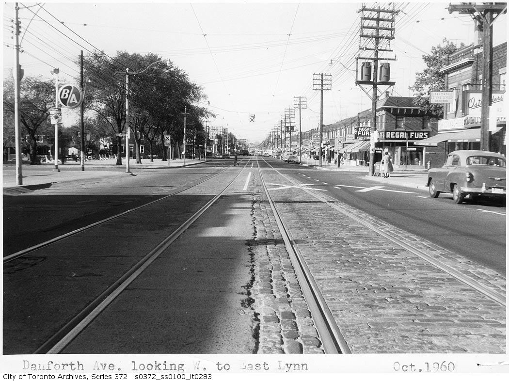
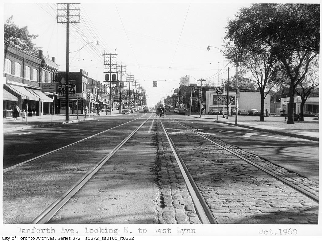
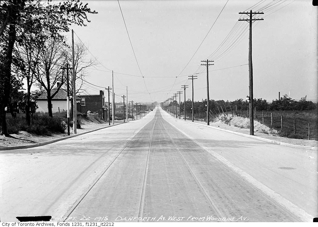
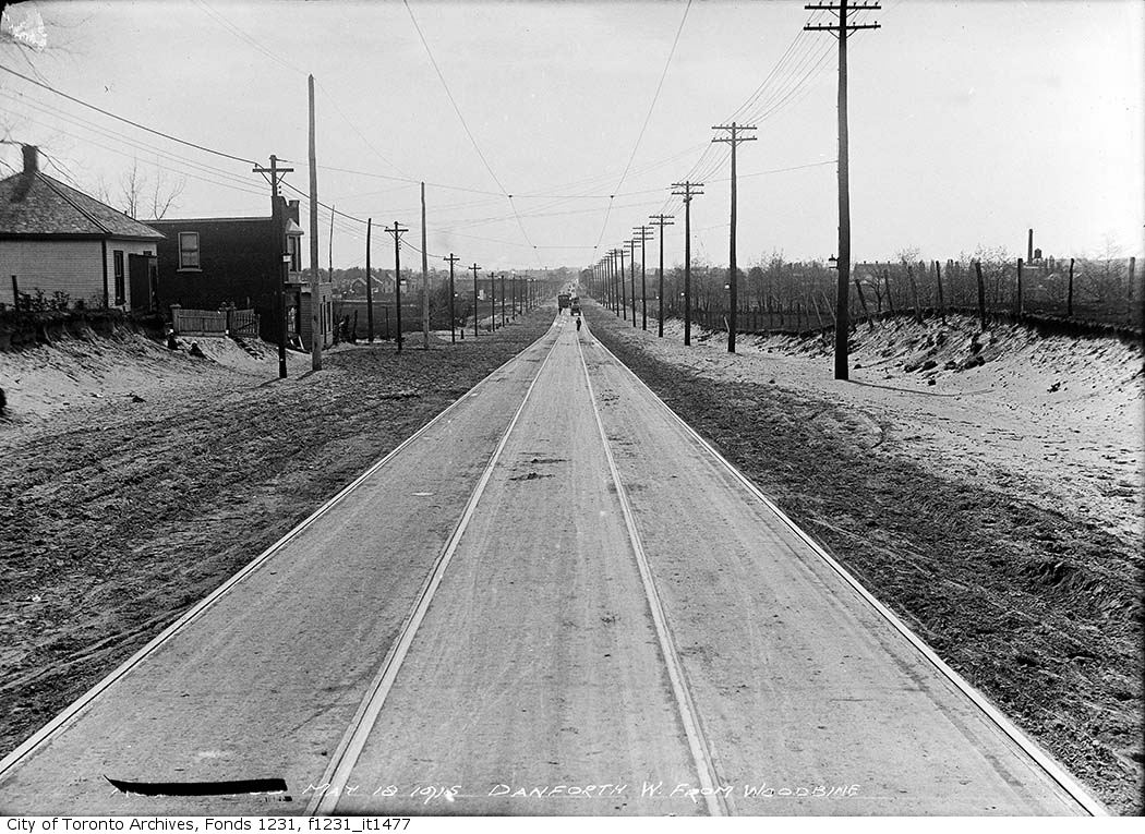

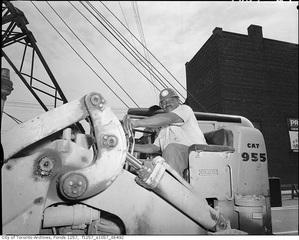
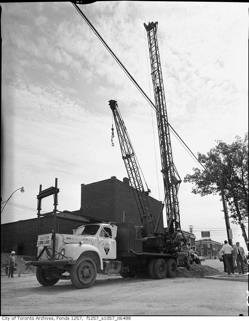
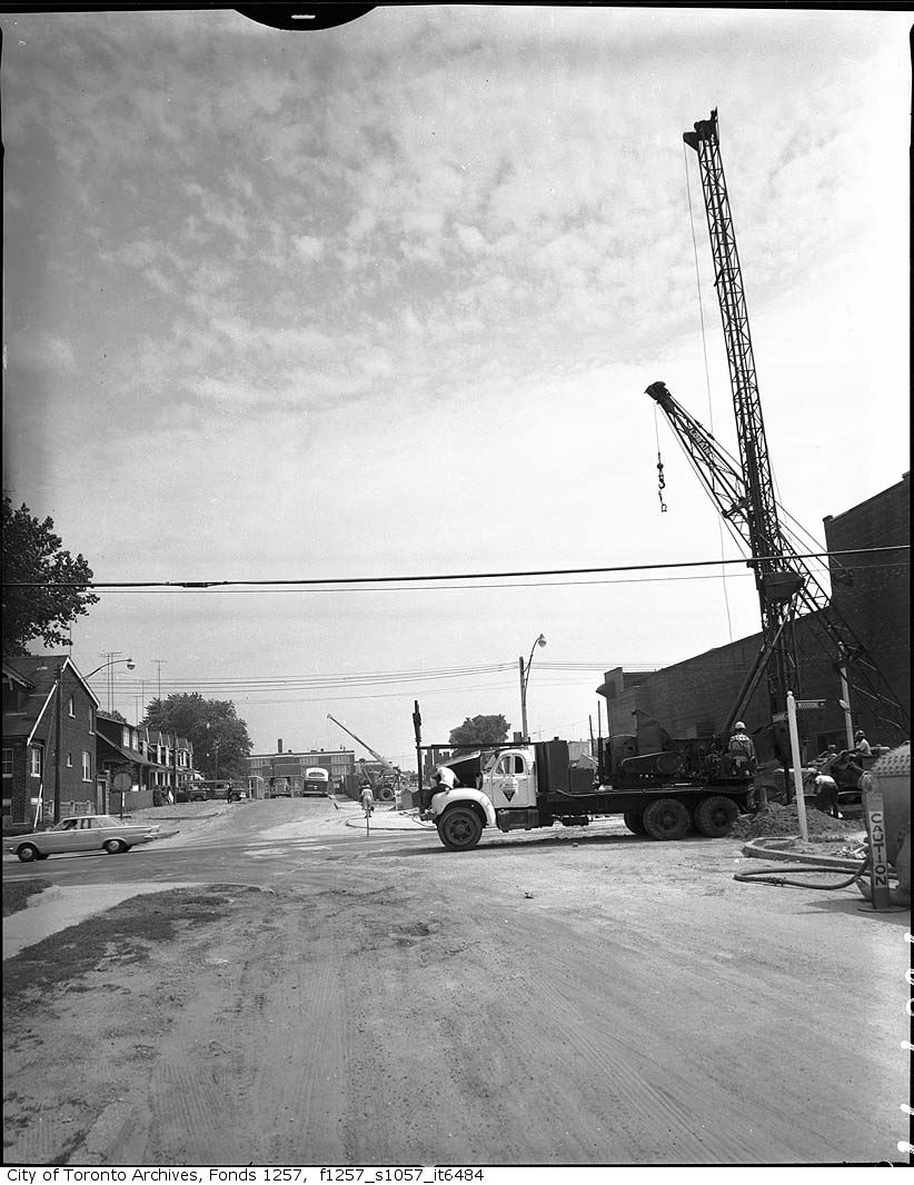
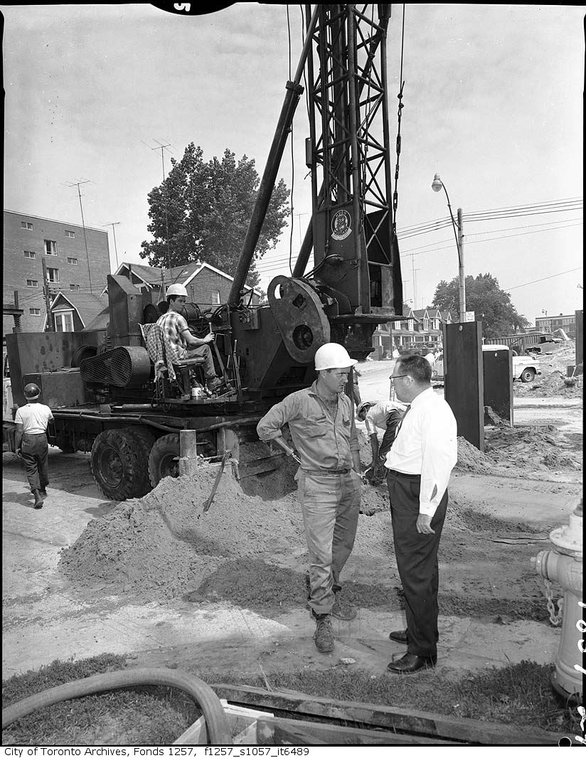
Photo locations are matched from each photo’s title against City street and address data, so some may be off. Report a wrong location