2 Jasper Ave
A registered apartment building built in 1954 with a RentSafe score of 98, outside TRCA flood and shoreline hazard areas, with 15 active development applications within 250 metres.
Data as of Nov 8, 2026 · Every item lists its source
- RentSafe evaluation score of 98 out of 100 (evaluated Nov 12, 2025).
- Outside TRCA flood and shoreline hazard areas.
- 15 active development applications and 1 Committee of Adjustment application within 250 m.
01The building
02Risks and the ground
TRCA mapping is for screening, not site-specific decisions. Lead results are voluntary samples from homes in the postal area, not this address.
03What’s changing nearby
- 1971 Weston Rd · 119 m · Site Plan · Under ReviewFile 21 228761 WET 05 SA · submitted Oct 21, 2021 · City record
- 2975 Weston Rd · 124 m · Site Plan · Under ReviewFile 21 228761 WET 05 SA · submitted Oct 21, 2021 · City record
- 3965-969 Weston Rd · 158 m · Site Plan · Under ReviewFile 21 228761 WET 05 SA · submitted Oct 21, 2021 · City record
- 425 Photography Dr · 162 m · Subdivision · Under ReviewDraft Plan of subdivision creates development blocks, park block and public road.File 21 186137 WET 05 SB · submitted Jul 19, 2021 · City record
- 525 Photography Dr · 162 m · Official Plan / Rezoning · Under ReviewOPA, ZBA and draft plan of subdivision. Oct 2026 Submission: 191,942 m2 total GFA. 185,715 m2 Residential, 5,619 m2 Retail, 608 m2 institutional. 2851 units. Seven mixed use buildings ranging from 16 to 45 storeys.Application to redevelop…File 21 186124 WET 05 OZ · submitted Jul 19, 2021 · City record
- 6955 Weston Rd · 168 m · Site Plan · Under ReviewFile 21 228761 WET 05 SA · submitted Oct 21, 2021 · City record
- 770 Brownville Ave · 177 m · Official Plan / Rezoning · Under ReviewThe proposal development consists of a residential high-rise development consisting of two towers (43 and 41 Storeys) within one connected building through a 6 storey podium. The 43-storey tower (Tower B) will be located on the north…File 25 222153 WET 05 OZ · submitted Sep 8, 2025 · City record
- 872 Brownville Ave · 185 m · Official Plan / Rezoning · Under ReviewThe proposal development consists of a residential high-rise development consisting of two towers (43 and 41 Storeys) within one connected building through a 6 storey podium. The 43-storey tower (Tower B) will be located on the north…File 25 222153 WET 05 OZ · submitted Sep 8, 2025 · City record
- 974 Brownville Ave · 193 m · Official Plan / Rezoning · Under ReviewThe proposal development consists of a residential high-rise development consisting of two towers (43 and 41 Storeys) within one connected building through a 6 storey podium. The 43-storey tower (Tower B) will be located on the north…File 25 222153 WET 05 OZ · submitted Sep 8, 2025 · City record
- 1076 Brownville Ave · 202 m · Official Plan / Rezoning · Under ReviewThe proposal development consists of a residential high-rise development consisting of two towers (43 and 41 Storeys) within one connected building through a 6 storey podium. The 43-storey tower (Tower B) will be located on the north…File 25 222153 WET 05 OZ · submitted Sep 8, 2025 · City record
- 1180 Brownville Ave · 210 m · Official Plan / Rezoning · Under ReviewThe proposal development consists of a residential high-rise development consisting of two towers (43 and 41 Storeys) within one connected building through a 6 storey podium. The 43-storey tower (Tower B) will be located on the north…File 25 222153 WET 05 OZ · submitted Sep 8, 2025 · City record
- 1282 Brownville Ave · 217 m · Official Plan / Rezoning · Under ReviewThe proposal development consists of a residential high-rise development consisting of two towers (43 and 41 Storeys) within one connected building through a 6 storey podium. The 43-storey tower (Tower B) will be located on the north…File 25 222153 WET 05 OZ · submitted Sep 8, 2025 · City record
Development Applications; Committee of Adjustment Applications · 2 registered short-term rentals within 250 m.
04City services
05Quick answers about 2 Jasper Ave
Is 2 Jasper Ave in a flood plain?
No. It is outside TRCA's mapped flood and shoreline hazard areas. Source: TRCA Regulation mapping 2025.
What is being built near 2 Jasper Ave?
15 active development applications within 250 metres, the closest at 971 Weston Rd (119 m). Source: Development Applications.
When is garbage day at 2 Jasper Ave?
Collection calendar Friday 2. Next garbage pickup: Nov 13, 2026. Source: Solid Waste Collection Schedule.
Answers are generated from the data on this page and update when the data changes.
06From the archives
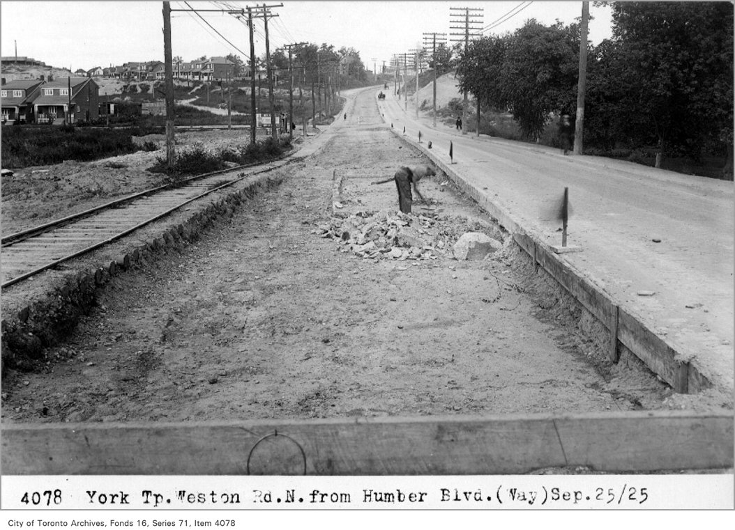

Photo locations are matched from each photo’s title against City street and address data, so some may be off. Report a wrong location