1 active development application and 0 Committee of Adjustment applications within 250 m.
RentSafe score—not a registered apartment building
Fire code violations—no inspection records
Applications1active within 250 m
Flood hazardOutsideTRCA mapping
The red circle shows the 250-metre radius used for “Nearby” items. Numbers match the applications listed below.
01The building
ItemFindingPrecisionSource · as of
RentSafe evaluationNot a registered apartment buildingThis addressApartment Building Evaluation
Fire code inspectionsNo inspection recordsThis addressResidential Fire Inspection Results
Building orders and noticesNone on recordThis addressBuilding Construction/Demolition Violations
Building permits, last 5 years0 permitsThis addressBuilding Permits · 3 on record
Short-term rentalNot registeredThis addressShort Term Rentals Registration
Heritage statusNot on the Heritage RegisterThis addressHeritage Register
Recent permits (3)
Porch · Closed · Nov 14, 2012 Extend front porch to dwelling and construct new roof above supported supported on pillars. · Permit 12 278704 BLD
Other(SR) · Closed · Nov 6, 2012 Admin folder to 12 - 272755 · Permit 12 272761 BLD
Other(SR) · Closed · Aug 19, 2011 Administrative file related to construction of new rear attached garage with common party wall at 2 Lapp St. · Permit 11 259222 BLD
02Risks and the ground
ItemFindingPrecisionSource · as of
River flood hazardOutsideThis addressTRCA Regulation mapping 2025
Lake shoreline hazardOutsideThis addressTRCA Regulation mapping 2025
Basement flooding study areaBFA4Your areaBasement Flooding Study Areas · the City divides all of Toronto into study areas; this names yours, not a risk level
Lead in tap water samples, postal area M6N17 of 270 above 0.01 ppmYour area · M6NNon Regulated Lead Sample · Jan 14, 2014 to Aug 13, 2026
TRCA mapping is for screening, not site-specific decisions. Lead results are voluntary samples from homes in the postal area, not this address.
03What’s changing nearby
1
380 Weston Rd· 235 m · Site Plan · NOAC Issued
Proposal to construct a 1-storey commercial building containing two units for future restaurants (unlicensed) and/or retail stores on the north portion of the property, while retaining the existing 1-storey restaurant on the south portion…
File 21 117250 WET 05 SA · submitted Feb 17, 2021 · City record
Development Applications; Committee of Adjustment Applications · 1 registered short-term rentals within 250 m.
No. It is outside TRCA's mapped flood and shoreline hazard areas. Source: TRCA Regulation mapping 2025.
What is being built near 2 Lapp St?
1 active development application within 250 metres, the closest at 380 Weston Rd (235 m). Source: Development Applications.
When is garbage day at 2 Lapp St?
Collection calendar Friday 2. Next garbage pickup: Nov 13, 2026. Source: Solid Waste Collection Schedule.
Answers are generated from the data on this page and update when the data changes.
06From the archives
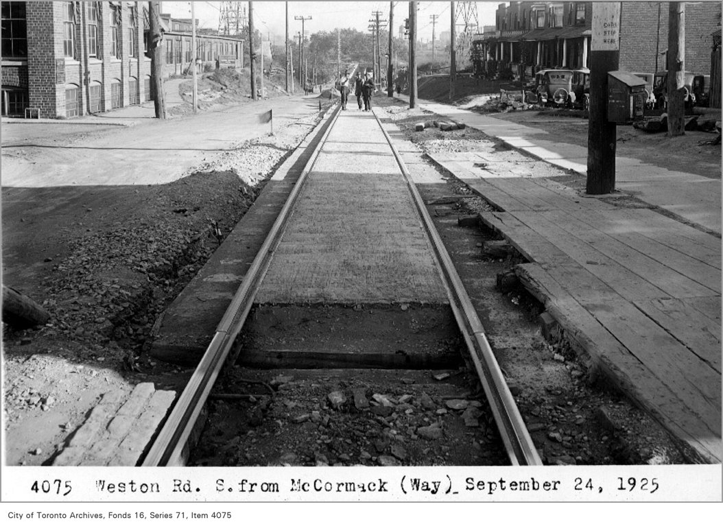
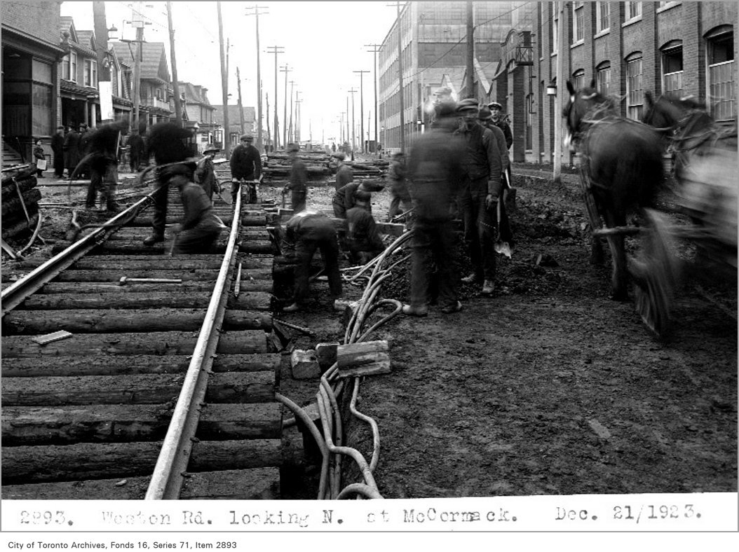
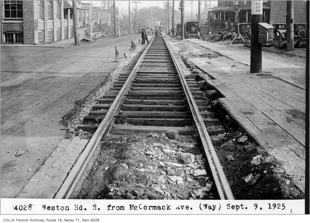
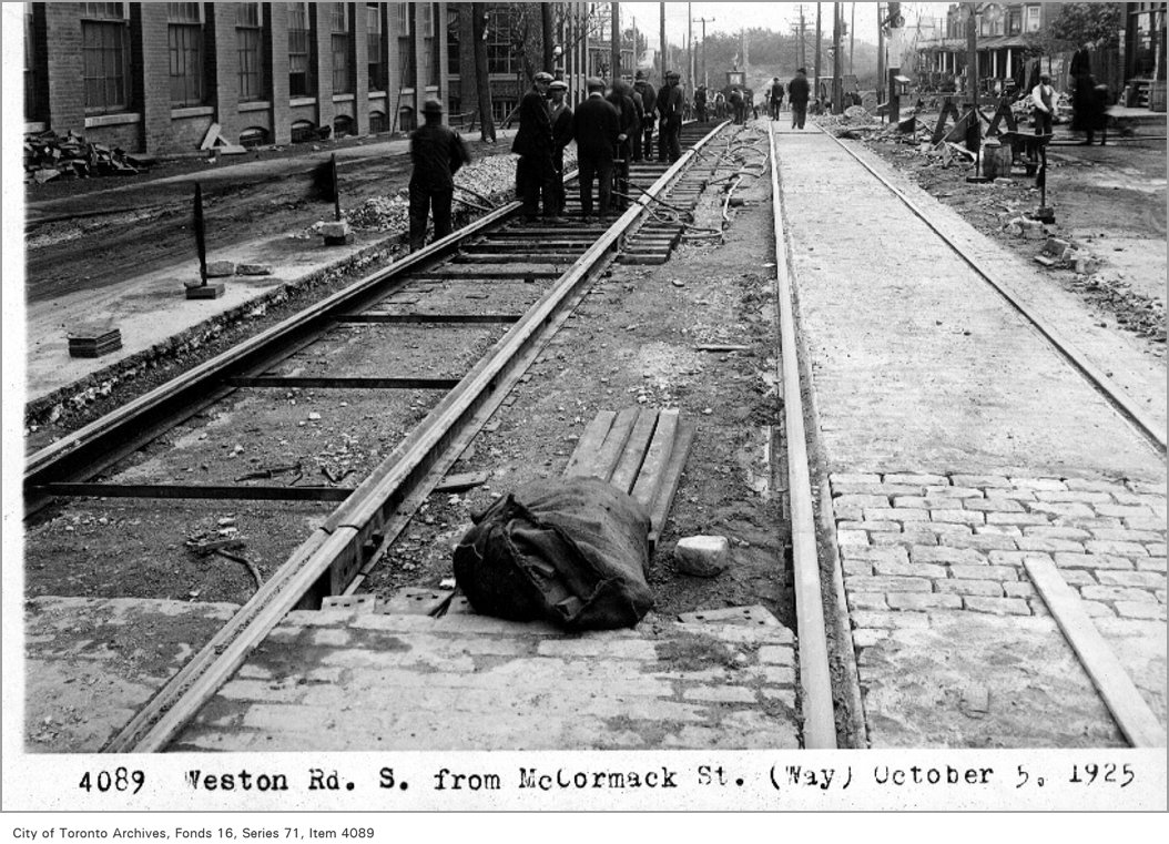
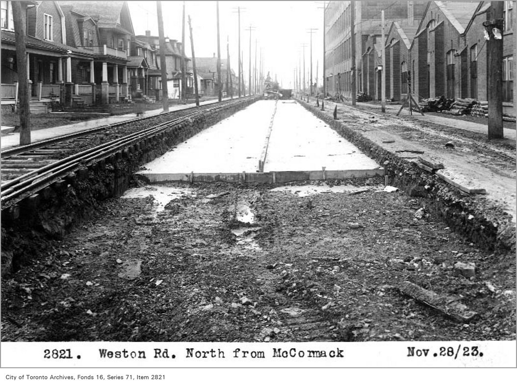
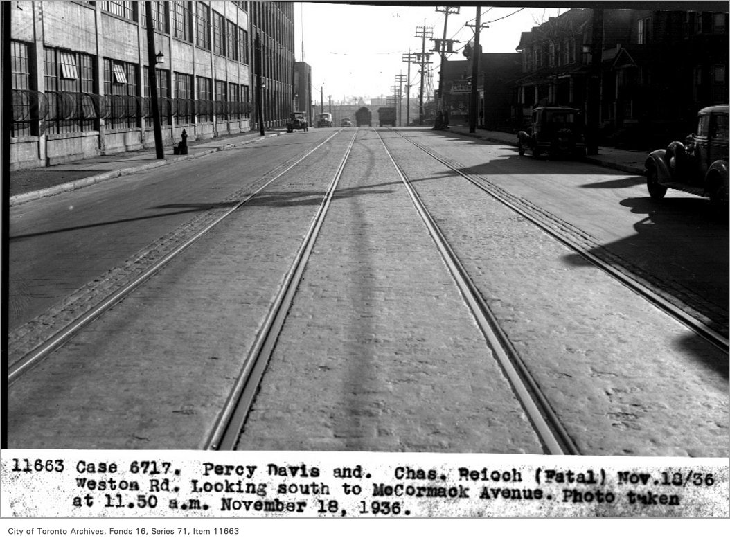
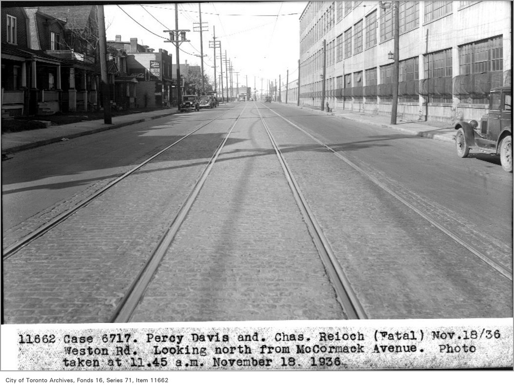
Weston Rd, south, from McCormack, (Way Department), 1925. City of Toronto Archives, Fonds 16, Series 71, Item 4075. 235 m away.Weston Rd, looking north, at McCormack, 1923. City of Toronto Archives, Fonds 16, Series 71, Item 2893. 235 m away.Weston Rd, south, from McCormack Ave, (Way Department), 1925. City of Toronto Archives, Fonds 16, Series 71, Item 4028. 235 m away.Weston Rd, south, from McCormack St, (Way Department), 1925. City of Toronto Archives, Fonds 16, Series 71, Item 4089. 235 m away.Weston Rd, north, from McCormack, 1923. City of Toronto Archives, Fonds 16, Series 71, Item 2821. 235 m away.Case 6717, Percy Davis and Chas Reioch (fatal), November 18, 1936; Weston Rd, looking south, to McCormack Street; photo taken at 11:50 a.m., November 18, 1936, (Legal Department), 1936. City of Toronto Archives, Fonds 16, Series 71, Item 11663. 235 m away.Case 6717. Percy Davis and Chas Reioch (fatal), November 18, 1936; Weston Rd, looking north, from McCormack Street; photo taken at 11:15 a.m., November 18, 1936, (Legal Department), 1936. City of Toronto Archives, Fonds 16, Series 71, Item 11662. 235 m away.
Photo locations are matched from each photo’s title against City street and address data, so some may be off. Report a wrong location
We use Google Analytics cookies to see which parts of the site help people. We never send the addresses you search. Privacy
2 Lapp St, Toronto — address report · My Address in Toronto