2 Monteith St
A property on the Heritage Register (Listed), outside TRCA flood and shoreline hazard areas, with 15 active development applications within 250 metres.
Data as of Nov 7, 2026 · Every item lists its source
- On the Heritage Register (Listed).
- Outside TRCA flood and shoreline hazard areas.
- 15 active development applications and 0 Committee of Adjustment applications within 250 m.
01The building
Recent permits (2)
- Party Wall Admin Permits · Cancelled · Mar 5, 2020
Party Wall Admin Permits for 553 Church St · Permit 20 122616 BLD - Party Wall Admin Permits · Cancelled · Sep 17, 2019
Party Wall Admin Permits for 551 · Permit 19 222525 BLD
02Risks and the ground
TRCA mapping is for screening, not site-specific decisions. Lead results are voluntary samples from homes in the postal area, not this address.
03What’s changing nearby
- 190 Isabella St · 15 m · Site Plan · Under ReviewSite Plan Approval for proposed for a 69-storey mixed-use building having a gross floor area of 52,797 square metres and 837 dwelling units.File 22 153990 STE 13 SA · submitted May 30, 2022 · City record
- 288 Isabella St · 51 m · Site Plan · NOAC IssuedSite Plan Control application for a 50-storey residential development containing 508 units, of which 82 are rental replacement units.File 22 138555 STE 13 SA · submitted Apr 26, 2022 · City record
- 381 Isabella St · 91 m · Official Plan / Rezoning · OMB AppealZoning By-law Amendment for a 69-storey residential building, containing 647 dwelling units, including 48 replacement rental dwelling units.File 25 174904 STE 13 OZ · submitted Jun 10, 2025 · City record
- 4566 X Church St · 112 m · Official Plan / Rezoning · Council ApprovedOfficial Plan and Zoning By-law amendment for 28-storey and 7-storey mixed-use buildings having a non-residential gross floor area of 883.9 square metres, and a residential gross floor area of 26017.0 square metres. 369 units are…File 21 235897 STE 13 OZ · submitted Nov 9, 2021 · City record
- 5566 X Church St · 112 m · Subdivision · Under Review1 blockFile 21 235904 STE 13 SB · submitted Nov 9, 2021 · City record
- 6625 Church St · 154 m · Site Plan · Under ReviewSite Plan Approval application for a 59-storey mixed-use tower, inclusive of a 6-storey podium. The proposed non-residential gross floor area is 10,488 square metres, and a residential gross floor area of 46,282 square metres. A total of…File 21 148066 STE 11 SA · submitted Apr 30, 2021 · City record
- 7112 Isabella St · 166 m · Site Plan · Under ReviewTo permit the construction of two buildings, with building heights of 56 and 60 storeys and approximately 1,362 dwelling units, and a POPS. The project retains portions of the existing heritage listed buildings at 122-124 Isabella Street,…File 25 265168 STE 13 SA · submitted Dec 11, 2025 · City record
- 8114 Isabella St · 171 m · Site Plan · Under ReviewTo permit the construction of two buildings, with building heights of 56 and 60 storeys and approximately 1,362 dwelling units, and a POPS. The project retains portions of the existing heritage listed buildings at 122-124 Isabella Street,…File 25 265168 STE 13 SA · submitted Dec 11, 2025 · City record
- 9116 Isabella St · 177 m · Site Plan · Under ReviewTo permit the construction of two buildings, with building heights of 56 and 60 storeys and approximately 1,362 dwelling units, and a POPS. The project retains portions of the existing heritage listed buildings at 122-124 Isabella Street,…File 25 265168 STE 13 SA · submitted Dec 11, 2025 · City record
- 10118 Isabella St · 184 m · Site Plan · Under ReviewTo permit the construction of two buildings, with building heights of 56 and 60 storeys and approximately 1,362 dwelling units, and a POPS. The project retains portions of the existing heritage listed buildings at 122-124 Isabella Street,…File 25 265168 STE 13 SA · submitted Dec 11, 2025 · City record
- 1140 Huntley St · 189 m · Site Plan · Under ReviewTo permit the construction of two buildings, with building heights of 56 and 60 storeys and approximately 1,362 dwelling units, and a POPS. The project retains portions of the existing heritage listed buildings at 122-124 Isabella Street,…File 25 265168 STE 13 SA · submitted Dec 11, 2025 · City record
- 12102 Earl Pl · 189 m · Site Plan · Appeal ReceivedSite Plan Control application for a 58-storey residential building containing 818 dwelling units (including 31 rental replacement units) and 96.8 square metres of retail space on the ground floor.File 22 185924 STE 13 SA · submitted Aug 4, 2022 · City record
Development Applications; Committee of Adjustment Applications · 27 registered short-term rentals within 250 m.
04City services
05Quick answers about 2 Monteith St
Is 2 Monteith St in a flood plain?
No. It is outside TRCA's mapped flood and shoreline hazard areas. Source: TRCA Regulation mapping 2025.
What is being built near 2 Monteith St?
15 active development applications within 250 metres, the closest at 90 Isabella St (15 m). Source: Development Applications.
Answers are generated from the data on this page and update when the data changes.
06From the archives
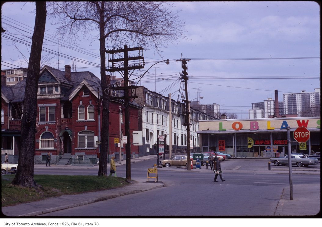
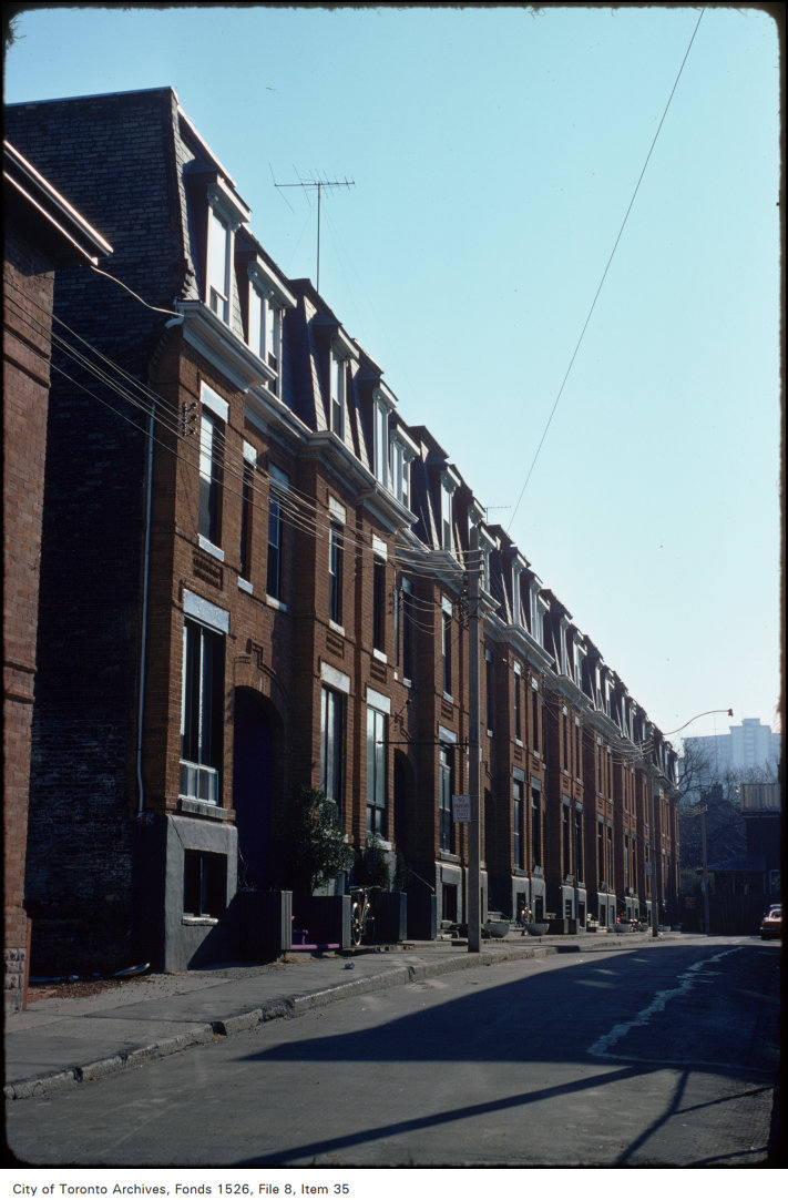
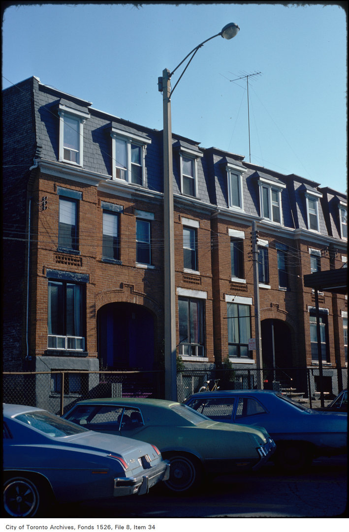
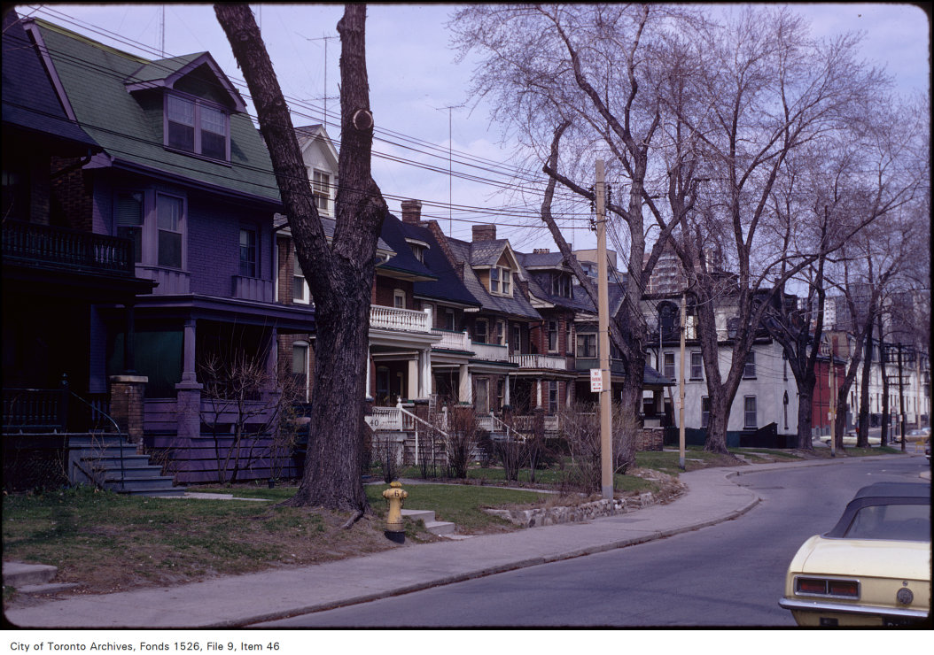
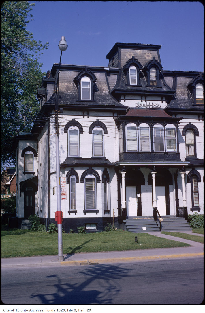
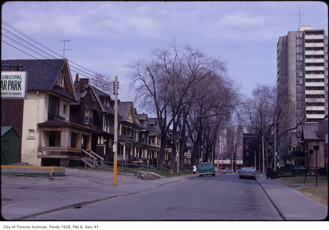

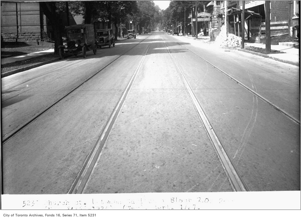
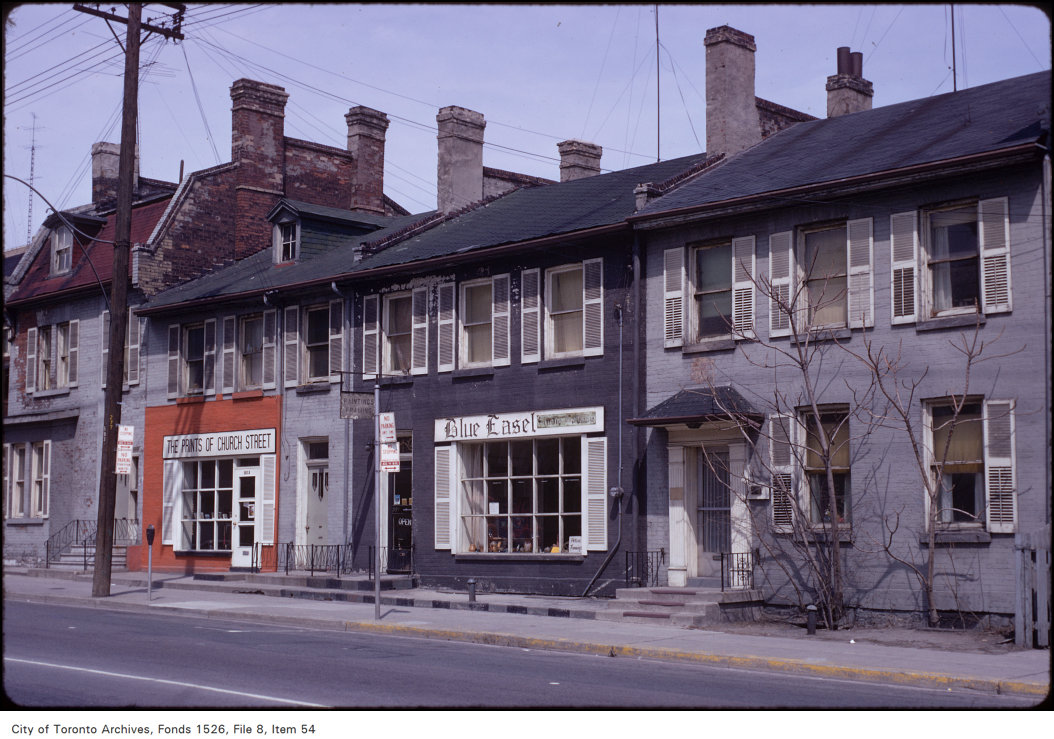
Photo locations are matched from each photo’s title against City street and address data, so some may be off. Report a wrong location