2 Princess St
2 Princess St is in St Lawrence-East Bayfront-The Islands. It's outside TRCA flood hazard areas and there are 12 planning applications nearby (nine under review, three approved).
Data as of Nov 8, 2026 · Every item lists its source
- Outside TRCA flood hazard areas.
- 12 planning applications within 250 m: nine under review, three approved.
03The building
1 building permit in the last 5 years. For comparison, about 1 in 10 Toronto addresses had any permit in that time. Permits show work the City approved; they don't show work done without a permit.
It isn't listed or designated on the City's Heritage Register.
Permit history: 1 project from 1 permit
- Backflow Prevention Devices (Water only) · completed Oct 27, 2026
Installation of a 1" RP backflow preventer with an expansion tank on the hot watter distribution line downstream of the existing domestic hot water meter for area/unit isolation. In-premise backflow… · Permit 26 155931
04Risks and the ground
TRCA's maps show this address is outside the areas that could flood from rivers in a major storm (TRCA plans for a storm like Hurricane Hazel in 1954) and outside lake shoreline hazards. Basement flooding from overloaded sewers can still happen anywhere in the city.
In postal area M5A, 4 of 134 home tap-water samples (3.0%) tested above Ontario's limit for lead (10 micrograms per litre). Across Toronto, 2.0% of samples did, so M5A is about the same as the city overall. Health Canada recommends a stricter limit of 5 micrograms per litre: 9 samples here (6.7%) were above it. These are voluntary tests, mostly from older homes, so they don't tell you about this house. Lead comes from old pipes and plumbing, not the City's treatment plants. If your home was built before the mid-1950s, you can get a free test kit by calling 311.
TRCA mapping is for screening, not site-specific decisions. Lead results are voluntary samples from homes in the postal area, not this address.
01What’s changing nearby
12 active planning applications within 250 m (about a 3-minute walk): nine under review, three approved. That's more than at 9 in 10 Toronto addresses.
- 1200 Front St E · 158 m awayOfficial Plan / Rezoning: a request to change the Official Plan or zoning so something new can be built
City Council approved it.
The application to amend the Zoning By-law proposes two new buildings for the property at 333-351 King Street East & 200 Front Street East. The proposed development includes a 37-storey residential building (140 metres tall) on the west…File 18 196225 STE 28 OZ · submitted Jul 18, 2018 · City record - 2333 King St E · 179 m awayOfficial Plan / Rezoning: a request to change the Official Plan or zoning so something new can be built
City Council approved it.
The application to amend the Zoning By-law proposes two new buildings for the property at 333-351 King Street East & 200 Front Street East. The proposed development includes a 37-storey residential building (140 metres tall) on the west…File 18 196225 STE 28 OZ · submitted Jul 18, 2018 · City record - 3351 King St E · 216 m awayOfficial Plan / Rezoning: a request to change the Official Plan or zoning so something new can be built
City Council approved it.
The application to amend the Zoning By-law proposes two new buildings for the property at 333-351 King Street East & 200 Front Street East. The proposed development includes a 37-storey residential building (140 metres tall) on the west…File 18 196225 STE 28 OZ · submitted Jul 18, 2018 · City record - 4250 Front St E · 239 m awaySite Plan: City review of the design and layout of a new building
City planners are reviewing it. Residents can comment before a decision is made.
for Corktown stationFile 23 142019 STE 13 SA · submitted May 5, 2023 · City record - 5256 King St E · 247 m awaySite Plan: City review of the design and layout of a new building
City planners are reviewing it. Residents can comment before a decision is made.
Site Plan Approval for two mixed-use towers having heights of 38 and 40 storeys. The proposed non-residential gross floor area is 5,490 square metres, and the proposed residential gross floor area is 62,695 square metres. A total of 819…File 21 226317 STE 13 SA · submitted Oct 15, 2021 · City record - 6256 King St E · 247 m awaySubdivision: a request to divide land into new lots and streets
City planners are reviewing it. Residents can comment before a decision is made.
Draft Plan of Subdivision for 5 development blocks.File 21 226321 STE 13 SB · submitted Oct 15, 2021 · City record - 7260 King St E · 248 m awaySubdivision: a request to divide land into new lots and streets
City planners are reviewing it. Residents can comment before a decision is made.
Draft Plan of Subdivision for 5 development blocks.File 21 226321 STE 13 SB · submitted Oct 15, 2021 · City record - 8260 King St E · 248 m awaySite Plan: City review of the design and layout of a new building
City planners are reviewing it. Residents can comment before a decision is made.
Site Plan Approval for two mixed-use towers having heights of 38 and 40 storeys. The proposed non-residential gross floor area is 5,490 square metres, and the proposed residential gross floor area is 62,695 square metres. A total of 819…File 21 226317 STE 13 SA · submitted Oct 15, 2021 · City record - 9266 King St E · 249 m awaySite Plan: City review of the design and layout of a new building
City planners are reviewing it. Residents can comment before a decision is made.
Site Plan Approval for two mixed-use towers having heights of 38 and 40 storeys. The proposed non-residential gross floor area is 5,490 square metres, and the proposed residential gross floor area is 62,695 square metres. A total of 819…File 21 226317 STE 13 SA · submitted Oct 15, 2021 · City record - 10266 King St E · 249 m awaySubdivision: a request to divide land into new lots and streets
City planners are reviewing it. Residents can comment before a decision is made.
Draft Plan of Subdivision for 5 development blocks.File 21 226321 STE 13 SB · submitted Oct 15, 2021 · City record - 11254 King St E · 250 m awaySubdivision: a request to divide land into new lots and streets
City planners are reviewing it. Residents can comment before a decision is made.
Draft Plan of Subdivision for 5 development blocks.File 21 226321 STE 13 SB · submitted Oct 15, 2021 · City record - 12254 King St E · 250 m awaySite Plan: City review of the design and layout of a new building
City planners are reviewing it. Residents can comment before a decision is made.
Site Plan Approval for two mixed-use towers having heights of 38 and 40 storeys. The proposed non-residential gross floor area is 5,490 square metres, and the proposed residential gross floor area is 62,695 square metres. A total of 819…File 21 226317 STE 13 SA · submitted Oct 15, 2021 · City record
10 homes within 250 m are registered with the City as short-term rentals (stays of less than 28 days, like Airbnb). That's more than at most Toronto addresses (the typical address has 2).
Development Applications; Committee of Adjustment Applications; Short Term Rentals Registration.
02City services
Next: November 11: recycling and green bin. November 18: garbage, green bin and yard waste. Green bin goes out every week; garbage and recycling alternate.
05Quick answers about 2 Princess St
Is 2 Princess St in a flood plain?
No. TRCA maps it outside river flood and lake shoreline hazard areas. Basement flooding from sewers can still happen anywhere. Source: TRCA Regulation mapping 2025.
What is being built near 2 Princess St?
There are 12 active planning applications within 250 metres (nine under review, three approved). The closest is at 200 Front St E, 158 m away. Source: Development Applications; Committee of Adjustment Applications.
Has 2 Princess St been renovated?
Yes. The City has 1 building permit on record, 1 in the last 5 years. Source: Building Permits.
Is 2 Princess St a heritage property?
No. It isn't listed or designated on the City's Heritage Register. Source: Heritage Register.
When is garbage day at 2 Princess St?
Collection is on Wednesdays. Green bin goes out every week; garbage and recycling alternate weeks. The next garbage pickup is Nov 18, 2026. Source: Solid Waste Collection Schedule.
Answers are generated from the data on this page and update when the data changes.
06From the archives
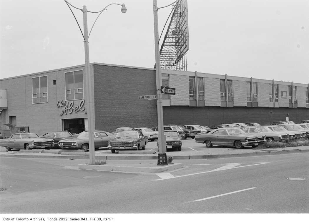
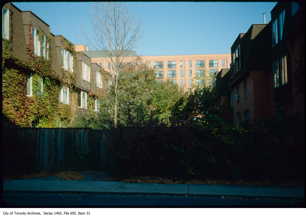
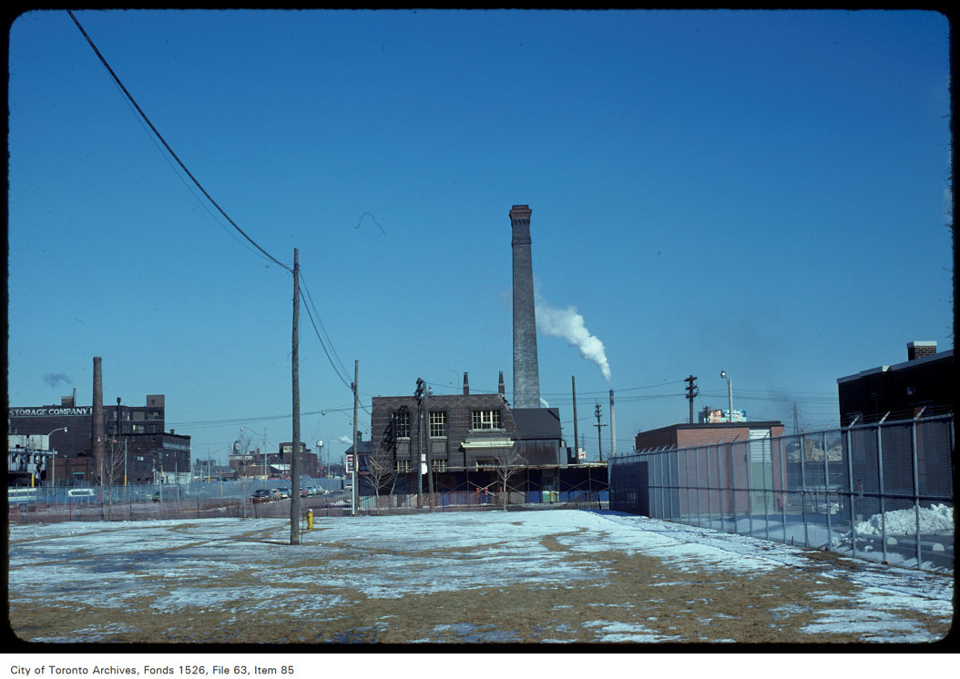
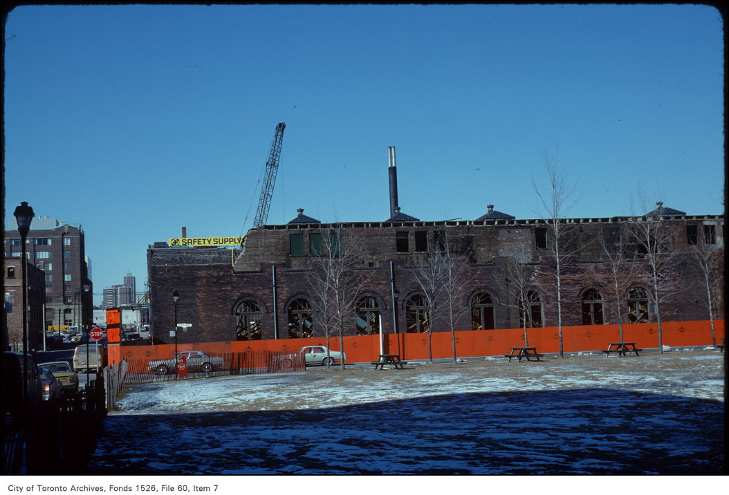
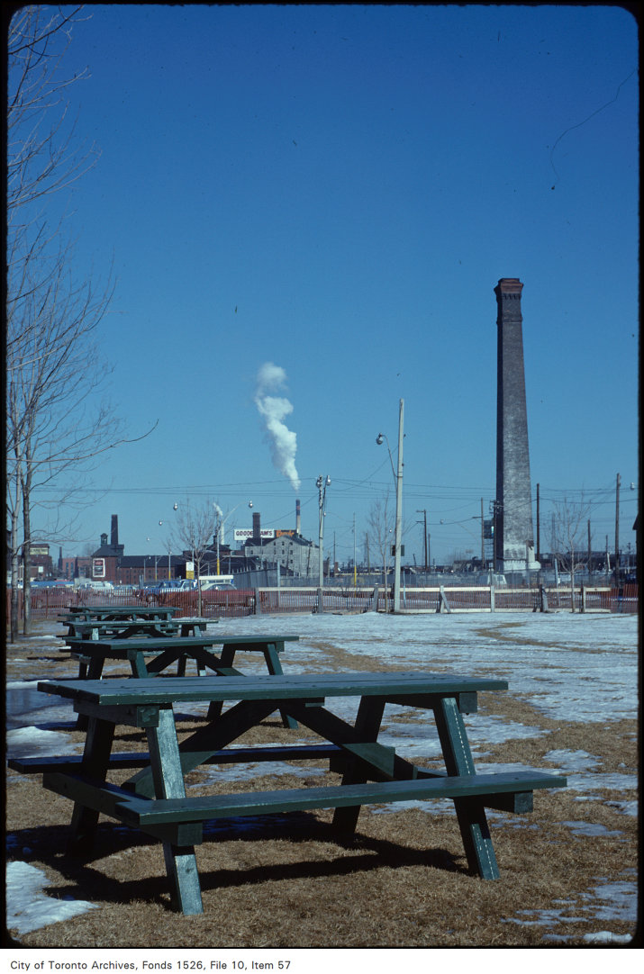
Photo locations are matched from each photo’s title against City street and address data, so some may be off. Report a wrong location