2 Rowley Ave
An address in Mount Pleasant East, outside TRCA flood and shoreline hazard areas, with 15 active development applications within 250 metres.
Data as of Nov 8, 2026 · Every item lists its source
- No fire code violations in open inspections.
- Outside TRCA flood and shoreline hazard areas.
- 15 active development applications and 5 Committee of Adjustment applications within 250 m.
01The building
02Risks and the ground
TRCA mapping is for screening, not site-specific decisions. Lead results are voluntary samples from homes in the postal area, not this address.
03What’s changing nearby
- 120 Glazebrook Ave · 126 m · Site Plan · Under ReviewPropose 34-storey (109.9 metre) residential and commercial mixed-use building. 434 residential units are proposed with 314 square metres of retail. The total gross floor area of the project is 29,600 squaremetres (FSI 13.78). In total, 91…File 22 177065 NNY 15 SA · submitted Jul 14, 2022 · City record
- 218 Glazebrook Ave · 131 m · Site Plan · Under ReviewPropose 34-storey (109.9 metre) residential and commercial mixed-use building. 434 residential units are proposed with 314 square metres of retail. The total gross floor area of the project is 29,600 squaremetres (FSI 13.78). In total, 91…File 22 177065 NNY 15 SA · submitted Jul 14, 2022 · City record
- 329 Glenavy Ave · 135 m · Site Plan · Under ReviewFile 24 208067 NNY 15 SA · submitted Sep 4, 2024 · City record
- 416 Glazebrook Ave · 136 m · Site Plan · Under ReviewPropose 34-storey (109.9 metre) residential and commercial mixed-use building. 434 residential units are proposed with 314 square metres of retail. The total gross floor area of the project is 29,600 squaremetres (FSI 13.78). In total, 91…File 22 177065 NNY 15 SA · submitted Jul 14, 2022 · City record
- 527 Glenavy Ave · 142 m · Site Plan · Under ReviewFile 24 208067 NNY 15 SA · submitted Sep 4, 2024 · City record
- 614 Glazebrook Ave · 142 m · Site Plan · Under ReviewPropose 34-storey (109.9 metre) residential and commercial mixed-use building. 434 residential units are proposed with 314 square metres of retail. The total gross floor area of the project is 29,600 squaremetres (FSI 13.78). In total, 91…File 22 177065 NNY 15 SA · submitted Jul 14, 2022 · City record
- 71840 Bayview Ave · 143 m · Official Plan / Rezoning · OMB AppealProposal for a 34-storey mixed use building with 24,103 square meters of residential area and 202 square meters of ground floor retail area fronting Bayview Avenue for a total of 24,305 square meters with a 14.75 FSI.File 22 210813 NNY 15 OZ · submitted Sep 29, 2022 · City record
- 81840 Bayview Ave · 143 m · Site Plan · Under ReviewProposal for a 34-storey mixed use building with 24,103 square meters of residential area and 202 square meters of ground floor retail area fronting Bayview Avenue for a total of 24,305 square meters with a 14.75 FSI.File 22 210812 NNY 15 SA · submitted Sep 29, 2022 · City record
- 912 Glazebrook Ave · 147 m · Site Plan · Under ReviewPropose 34-storey (109.9 metre) residential and commercial mixed-use building. 434 residential units are proposed with 314 square metres of retail. The total gross floor area of the project is 29,600 squaremetres (FSI 13.78). In total, 91…File 22 177065 NNY 15 SA · submitted Jul 14, 2022 · City record
- 1025 Glenavy Ave · 149 m · Site Plan · Under ReviewFile 24 208067 NNY 15 SA · submitted Sep 4, 2024 · City record
- 1110 Glazebrook Ave · 152 m · Site Plan · Under ReviewPropose 34-storey (109.9 metre) residential and commercial mixed-use building. 434 residential units are proposed with 314 square metres of retail. The total gross floor area of the project is 29,600 squaremetres (FSI 13.78). In total, 91…File 22 177065 NNY 15 SA · submitted Jul 14, 2022 · City record
- 128 Glazebrook Ave · 158 m · Site Plan · Under ReviewPropose 34-storey (109.9 metre) residential and commercial mixed-use building. 434 residential units are proposed with 314 square metres of retail. The total gross floor area of the project is 29,600 squaremetres (FSI 13.78). In total, 91…File 22 177065 NNY 15 SA · submitted Jul 14, 2022 · City record
Development Applications; Committee of Adjustment Applications · 3 registered short-term rentals within 250 m.
04City services
05Quick answers about 2 Rowley Ave
Is 2 Rowley Ave in a flood plain?
No. It is outside TRCA's mapped flood and shoreline hazard areas. Source: TRCA Regulation mapping 2025.
Does 2 Rowley Ave have open fire code violations?
No. The City's fire inspection records show no violations in open inspections. Source: Residential Fire Inspection Results.
What is being built near 2 Rowley Ave?
15 active development applications within 250 metres, the closest at 20 Glazebrook Ave (126 m). Source: Development Applications.
When is garbage day at 2 Rowley Ave?
Collection calendar Wednesday 2. Next garbage pickup: Nov 11, 2026. Source: Solid Waste Collection Schedule.
Answers are generated from the data on this page and update when the data changes.
06From the archives
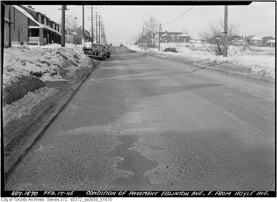
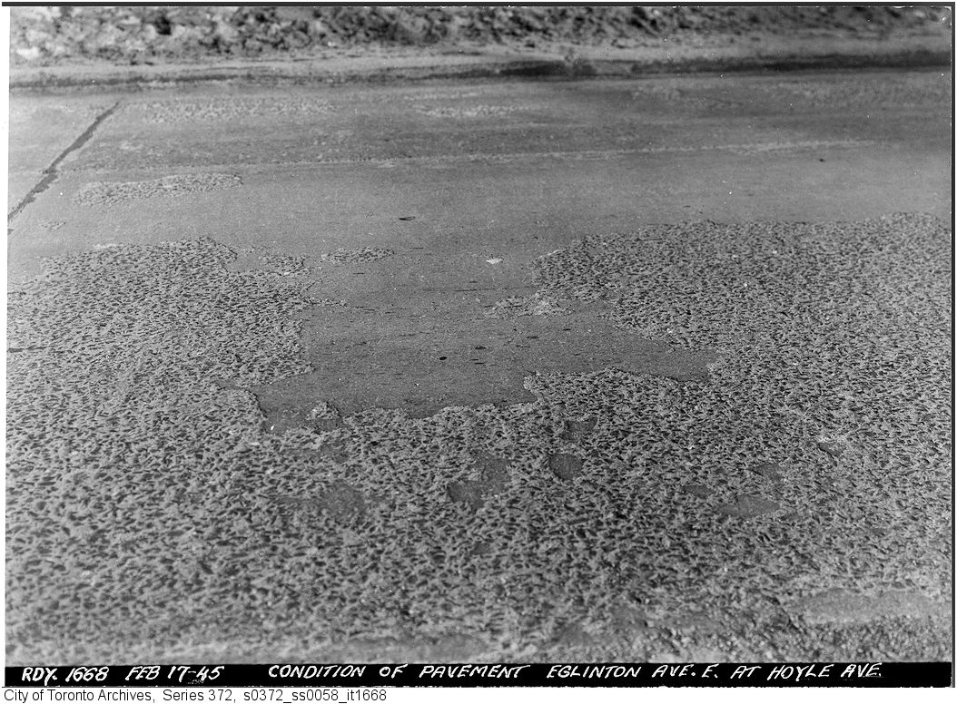
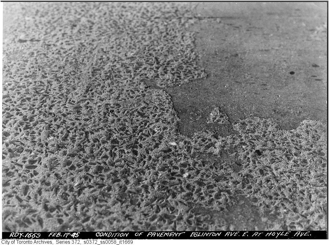
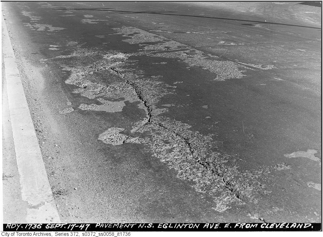
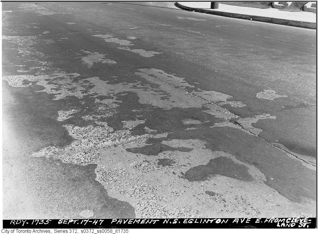
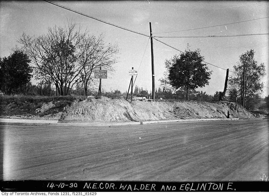
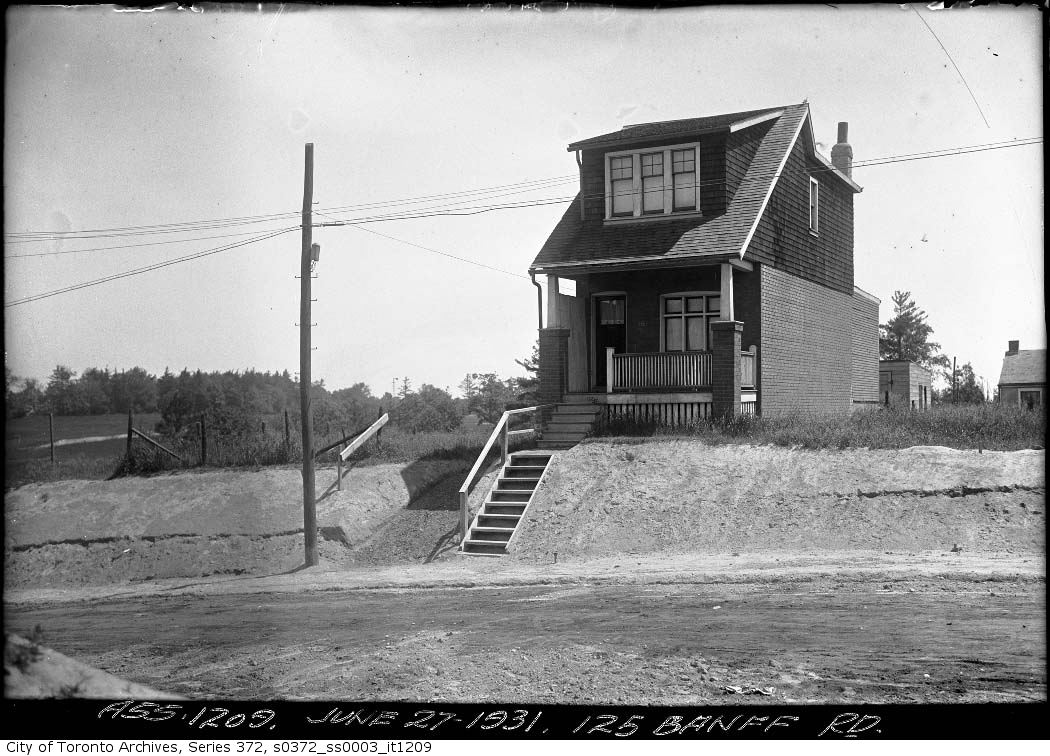
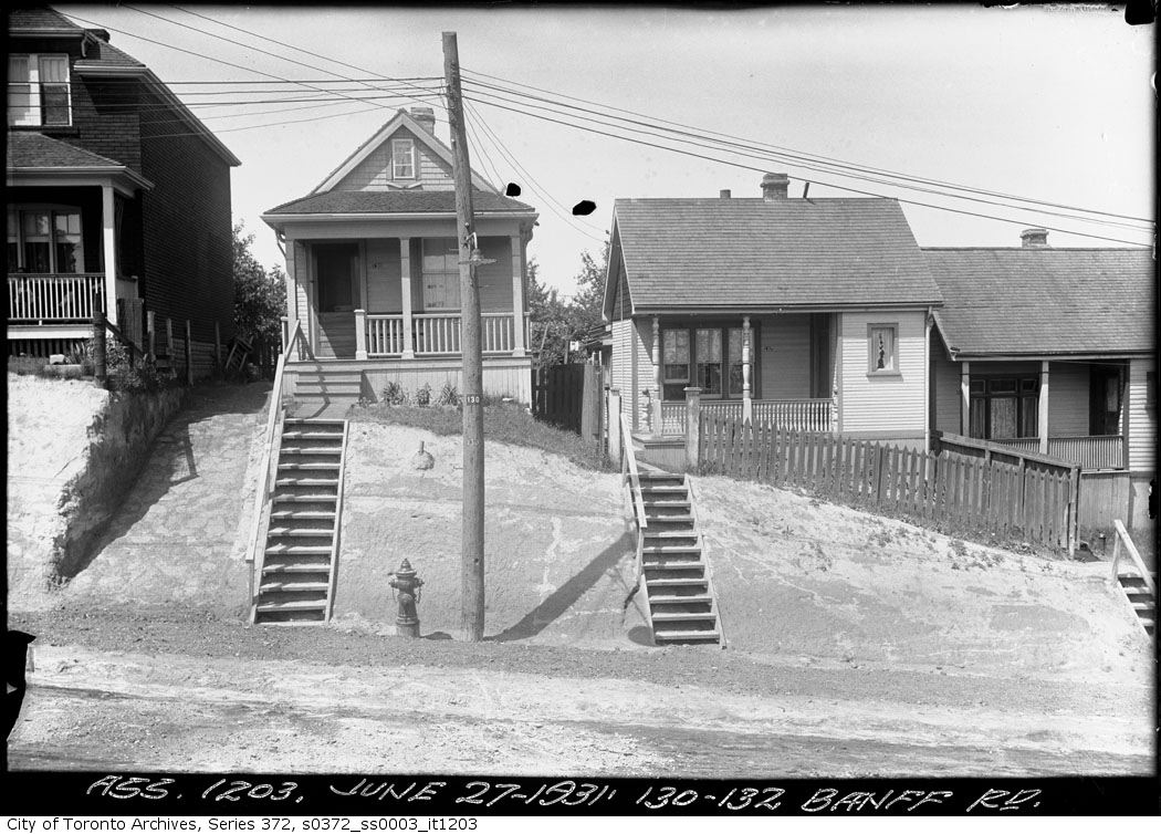
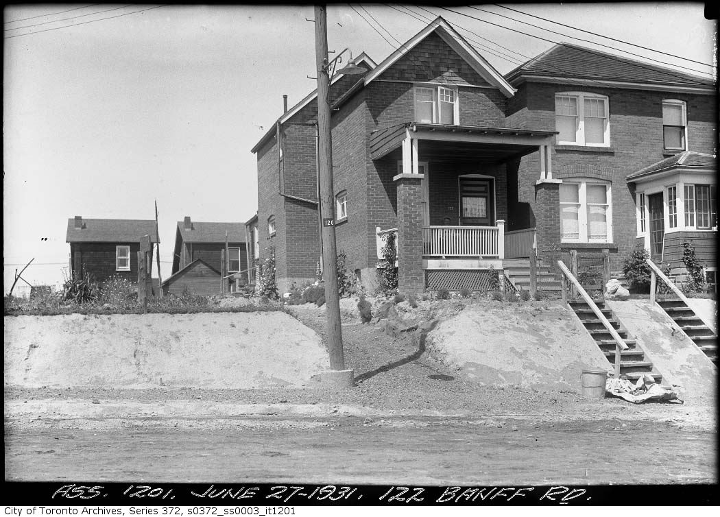
Photo locations are matched from each photo’s title against City street and address data, so some may be off. Report a wrong location