20 Collier St
An address in Rosedale-Moore Park, outside TRCA flood and shoreline hazard areas, with 12 active development applications within 250 metres.
Data as of Nov 8, 2026 · Every item lists its source
- No fire code violations in open inspections.
- Outside TRCA flood and shoreline hazard areas.
- 12 active development applications and 2 Committee of Adjustment applications within 250 m.
01The building
Recent permits (3)
- Garage Repair/Reconstruction · Permit Issued · Mar 18, 2024
Parking garage leakage repairs · Permit 24 116888 BLD - Interior Alterations · Permit Issued · Jul 13, 2017
Proposal to remove portion of a wall · Permit 17 187079 BLD - Interior Alterations · Cancelled · May 31, 2017
Removal of small portion of wall in unit 702 · Permit 17 170699 BLD
02Risks and the ground
TRCA mapping is for screening, not site-specific decisions. Lead results are voluntary samples from homes in the postal area, not this address.
03What’s changing nearby
- 136 Yorkville Ave · 179 m · Site Plan · NOAC IssuedSite Plan Amendment application to further amend the previously approved Site Plan Amendment application for the site (File No. 18 203283 STE 27 SA) to permit a raised terrace and canopy at the southwest corner of the existing building…File 23 220948 STE 11 SA · submitted Oct 31, 2023 · City record
- 2906 Yonge St · 197 m · Site Plan · NOAC IssuedSite Plan Approval for a 40-storey and 23-storey building, containing a combined total of 410 dwelling units and 760 square metres of non-residential gross floor area.File 21 233790 STE 11 SA · submitted Nov 3, 2021 · City record
- 3906 Yonge St · 197 m · Official Plan / Rezoning · OMB ApprovedZoning by-law Amendment application to permit a mixed-use building with 33- and 19-storey tower elements, containing 401 dwelling units and 75 square metres of non-residential gross floor area. The proposal includes heritage conservation…File 21 233780 STE 11 OZ · submitted Nov 3, 2021 · City record
- 450 Park Rd · 215 m · Official Plan / Rezoning · OMB AppealProposed 31-storey (107.9 metres) purpose-built rental building and the restoration and adaptive reuse of the heritage building at 50 Park Road, which is proposed to be integrated into the new development. The proposed development…File 25 209063 STE 11 OZ · submitted Aug 12, 2025 · City record
- 540 Park Rd · 216 m · Official Plan / Rezoning · OMB AppealProposed 31-storey (107.9 metres) purpose-built rental building and the restoration and adaptive reuse of the heritage building at 50 Park Road, which is proposed to be integrated into the new development. The proposed development…File 25 209063 STE 11 OZ · submitted Aug 12, 2025 · City record
- 638 Park Rd · 232 m · Official Plan / Rezoning · OMB AppealProposed 31-storey (107.9 metres) purpose-built rental building and the restoration and adaptive reuse of the heritage building at 50 Park Road, which is proposed to be integrated into the new development. The proposed development…File 25 209063 STE 11 OZ · submitted Aug 12, 2025 · City record
- 7878 Yonge St · 235 m · Site Plan · NOAC IssuedSite Plan Amendment to the previously approved 16 173156 STE 11 SAFile 24 103640 STE 11 SA · submitted Jan 11, 2024 · City record
- 83 Scollard St · 237 m · Site Plan · NOAC IssuedSite Plan Amendment to the previously approved 16 173156 STE 11 SAFile 24 103640 STE 11 SA · submitted Jan 11, 2024 · City record
- 9876 Yonge St · 241 m · Site Plan · NOAC IssuedSite Plan Amendment to the previously approved 16 173156 STE 11 SAFile 24 103640 STE 11 SA · submitted Jan 11, 2024 · City record
- 1025 Mc Murrich St · 245 m · Official Plan / Rezoning · OMB ApprovedZoning by-law Amendment application to permit a mixed-use building with 33- and 19-storey tower elements, containing 401 dwelling units and 75 square metres of non-residential gross floor area. The proposal includes heritage conservation…File 21 233780 STE 11 OZ · submitted Nov 3, 2021 · City record
- 1125 Mc Murrich St · 245 m · Site Plan · NOAC IssuedSite Plan Approval for a 40-storey and 23-storey building, containing a combined total of 410 dwelling units and 760 square metres of non-residential gross floor area.File 21 233790 STE 11 SA · submitted Nov 3, 2021 · City record
- 12874 Yonge St · 245 m · Site Plan · NOAC IssuedSite Plan Amendment to the previously approved 16 173156 STE 11 SAFile 24 103640 STE 11 SA · submitted Jan 11, 2024 · City record
Development Applications; Committee of Adjustment Applications · 46 registered short-term rentals within 250 m.
04City services
05Quick answers about 20 Collier St
Is 20 Collier St in a flood plain?
No. It is outside TRCA's mapped flood and shoreline hazard areas. Source: TRCA Regulation mapping 2025.
Does 20 Collier St have open fire code violations?
No. The City's fire inspection records show no violations in open inspections. Source: Residential Fire Inspection Results.
What is being built near 20 Collier St?
12 active development applications within 250 metres, the closest at 36 Yorkville Ave (179 m). Source: Development Applications.
When is garbage day at 20 Collier St?
Collection calendar Wednesday 1. Next garbage pickup: Nov 18, 2026. Source: Solid Waste Collection Schedule.
Answers are generated from the data on this page and update when the data changes.
06From the archives
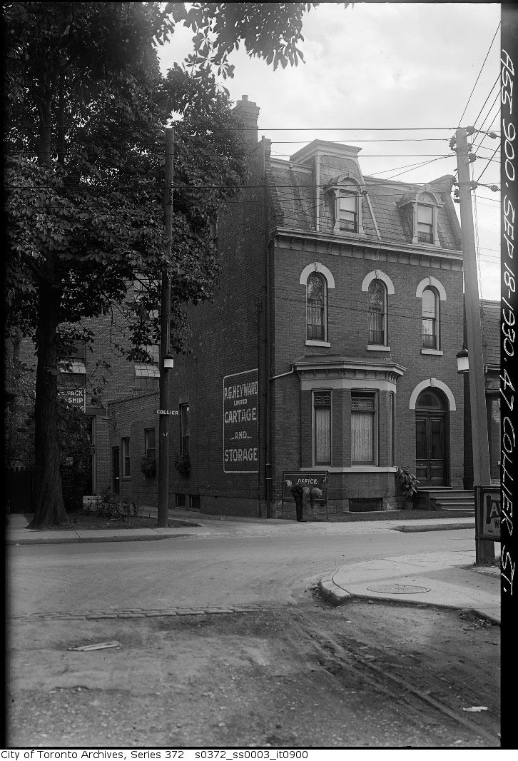
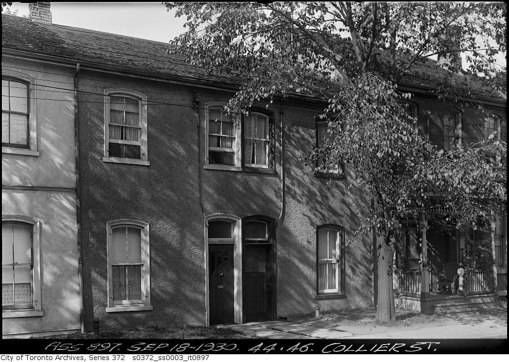
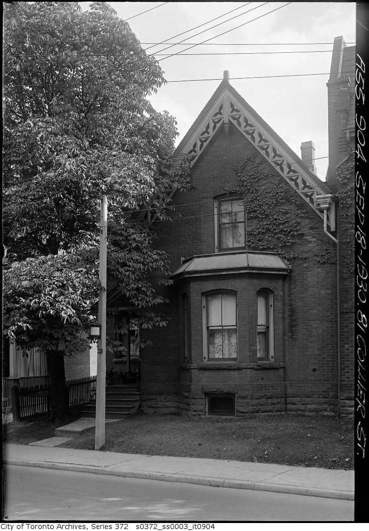
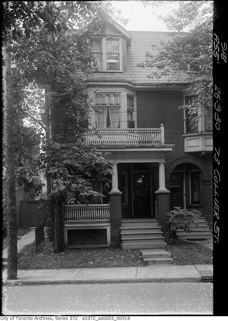
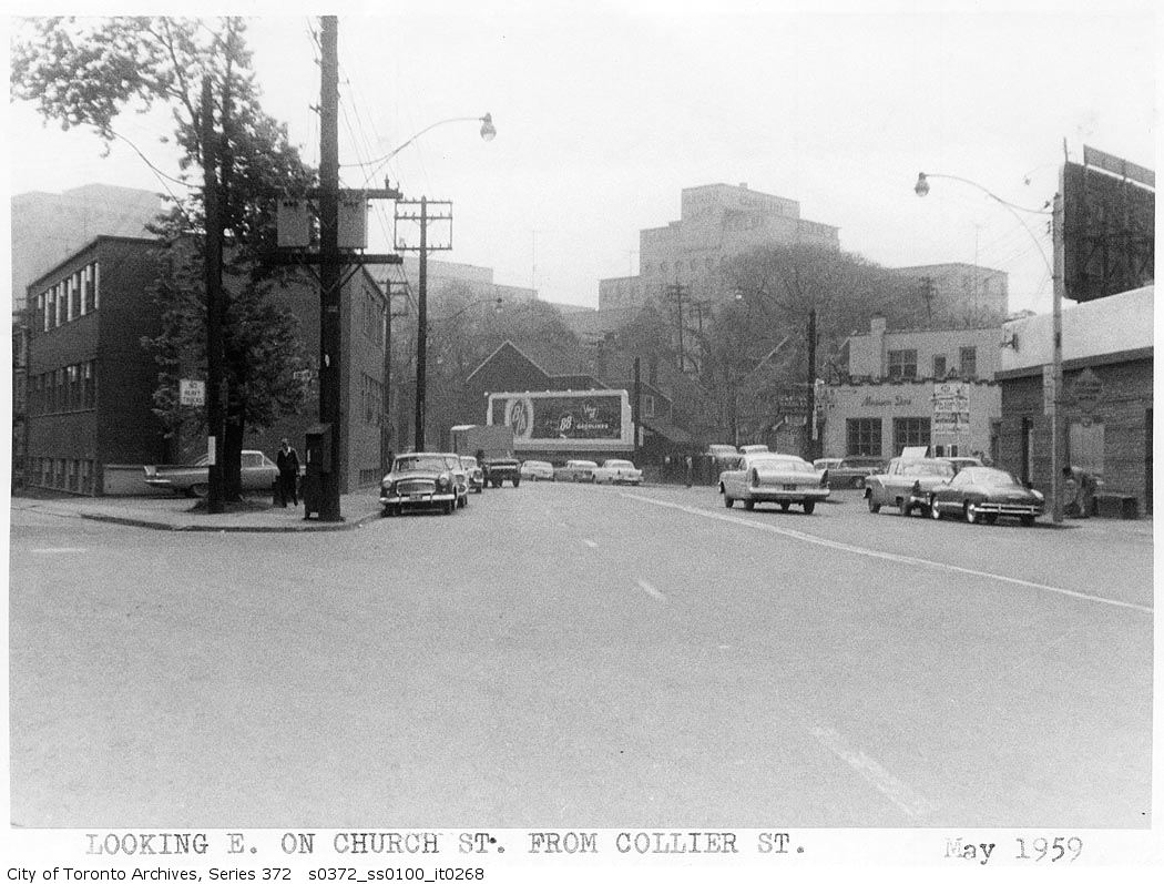
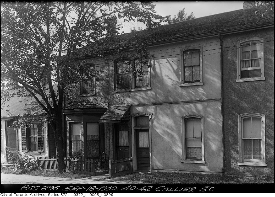
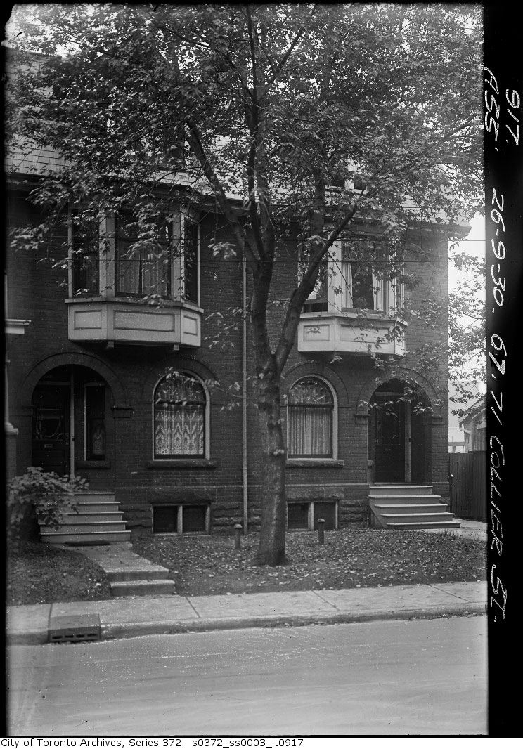
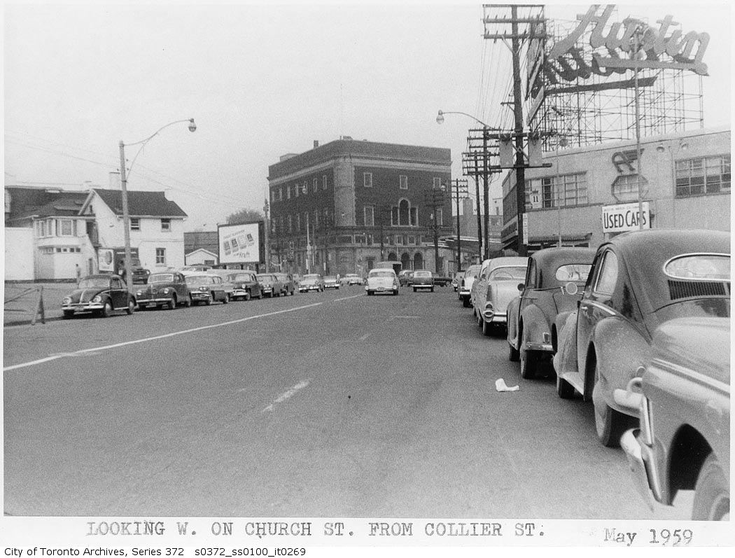
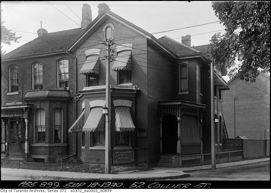
Photo locations are matched from each photo’s title against City street and address data, so some may be off. Report a wrong location