20 John St
An address in Wellington Place, outside TRCA flood and shoreline hazard areas, with 15 active development applications within 250 metres.
Data as of Nov 7, 2026 · Every item lists its source
- Outside TRCA flood and shoreline hazard areas.
- 15 active development applications and 4 Committee of Adjustment applications within 250 m.
01The building
02Risks and the ground
TRCA mapping is for screening, not site-specific decisions. Lead results are voluntary samples from homes in the postal area, not this address.
03What’s changing nearby
- 155 John St · 15 m · Site Plan · NOAC IssuedSite Plan Approval for the relocation of Toronto Fire and Emergency Service Station 332 to the south side of Metro Hall.File 25 148717 STE 10 SA · submitted Apr 24, 2025 · City record
- 2284 A King St W · 79 m · Condominium · Under Review*** Draft Plan of Condominium for 2038 units.File 21 232282 STE 10 CD · submitted Oct 29, 2021 · City record
- 3300 King St W · 90 m · Condominium · Under Review*** Draft Plan of Condominium for 2038 units.File 21 232282 STE 10 CD · submitted Oct 29, 2021 · City record
- 4322 King St W · 96 m · Condominium · Under Review*** Draft Plan of Condominium for 2038 units.File 21 232282 STE 10 CD · submitted Oct 29, 2021 · City record
- 5284 King St W · 96 m · Condominium · Under Review*** Draft Plan of Condominium for 2038 units.File 21 232282 STE 10 CD · submitted Oct 29, 2021 · City record
- 6276 King St W · 107 m · Condominium · Under Review*** Draft Plan of Condominium for 2038 units.File 21 232282 STE 10 CD · submitted Oct 29, 2021 · City record
- 7276 King St W · 107 m · Official Plan / Rezoning · Council ApprovedOPA and rezoning for amendments to modify the performance standards applicable to the mixed-use building to be located at 274-284 King Street West on the West Block, and on incorporating the minor variances approved for 270 King Street…File 25 183702 STE 10 OZ · submitted Jun 25, 2025 · City record
- 8301 King St W · 107 m · Official Plan / Rezoning · OMB ApprovedOLT Approved Application to Amend the Zoning By-law to permit the re-development of the site with a 50-storey (157 metre tall including the mechanical penthouse) mixed-use building containing retail, restaurant and office uses within the…File 13 144733 STE 20 OZ · submitted Apr 4, 2013 · City record
- 9301 King St W · 107 m · Site Plan · Under ReviewSite Plan approval application at 301-319 King Street West to facilitate the re-development of the site with a 50-storey (157 metre tall including the mechanical penthouse) mixed-use building containing retail, restaurant and office uses…File 22 204481 STE 10 SA · submitted Sep 16, 2022 · City record
- 10303 King St W · 109 m · Site Plan · Under ReviewSite Plan approval application at 301-319 King Street West to facilitate the re-development of the site with a 50-storey (157 metre tall including the mechanical penthouse) mixed-use building containing retail, restaurant and office uses…File 22 204481 STE 10 SA · submitted Sep 16, 2022 · City record
- 11303 King St W · 109 m · Official Plan / Rezoning · OMB ApprovedOLT Approved Application to Amend the Zoning By-law to permit the re-development of the site with a 50-storey (157 metre tall including the mechanical penthouse) mixed-use building containing retail, restaurant and office uses within the…File 13 144733 STE 20 OZ · submitted Apr 4, 2013 · City record
- 12274 King St W · 111 m · Condominium · Under Review*** Draft Plan of Condominium for 2038 units.File 21 232282 STE 10 CD · submitted Oct 29, 2021 · City record
Development Applications; Committee of Adjustment Applications · 375 registered short-term rentals within 250 m.
04City services
05Quick answers about 20 John St
Is 20 John St in a flood plain?
No. It is outside TRCA's mapped flood and shoreline hazard areas. Source: TRCA Regulation mapping 2025.
What is being built near 20 John St?
15 active development applications within 250 metres, the closest at 55 John St (15 m). Source: Development Applications.
Answers are generated from the data on this page and update when the data changes.
06From the archives
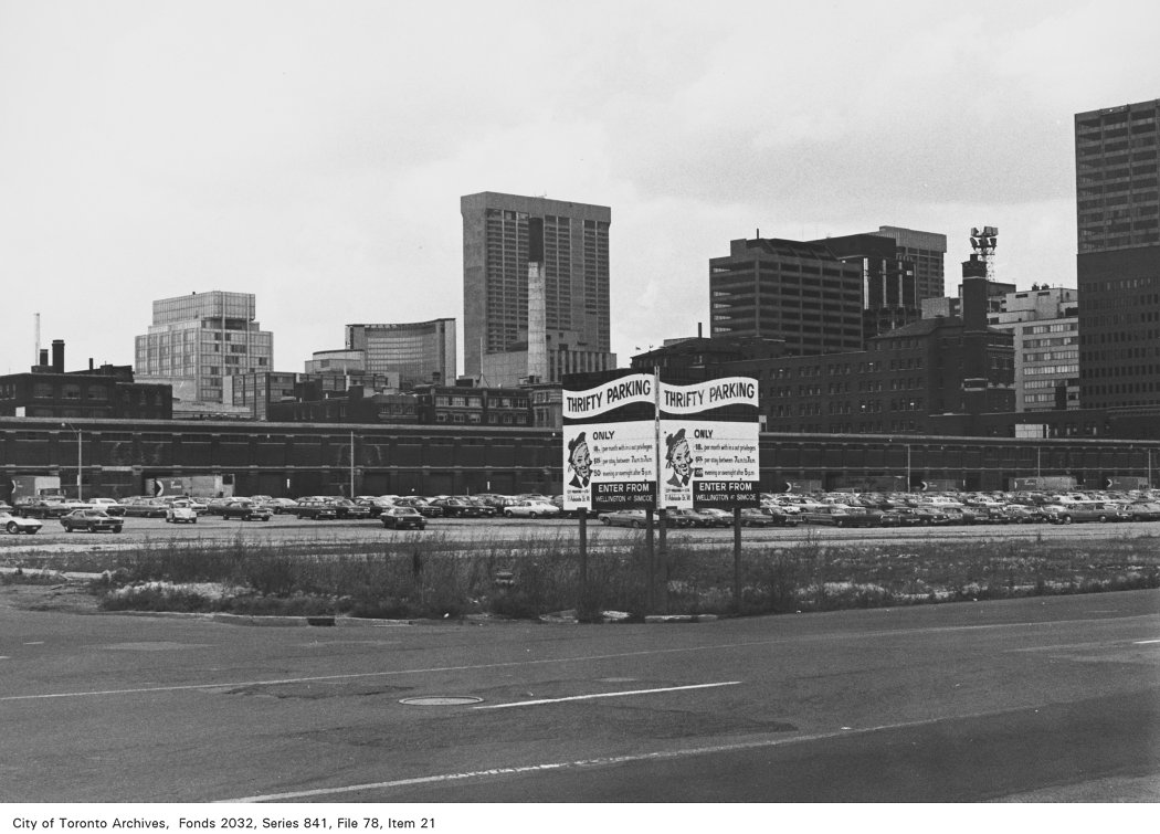
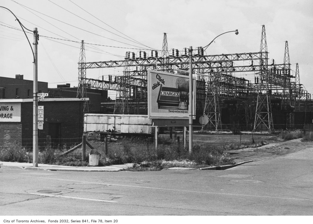
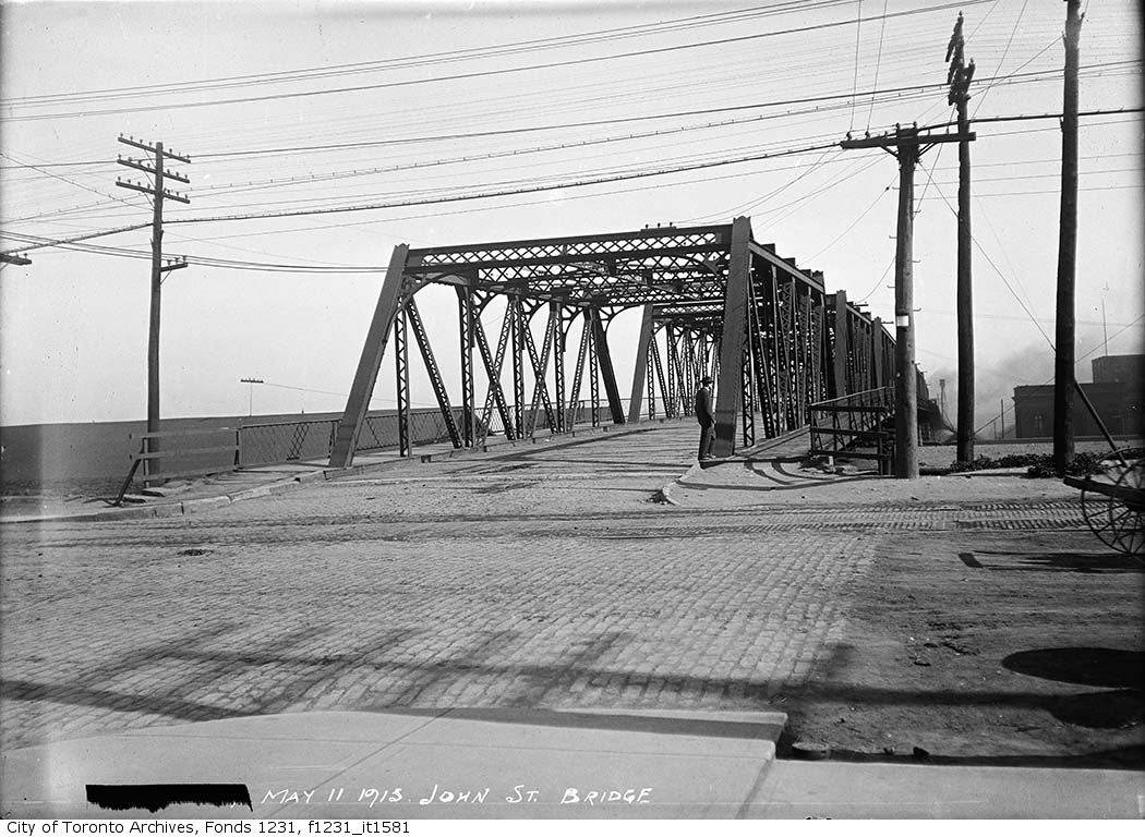
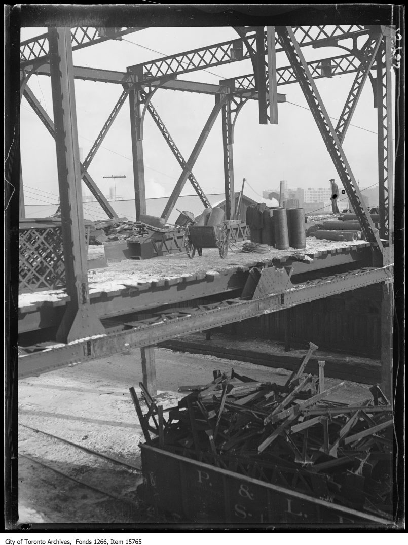
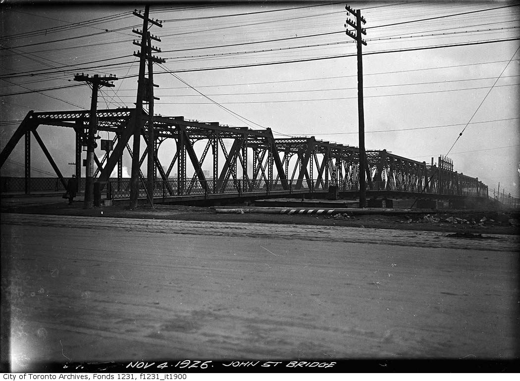

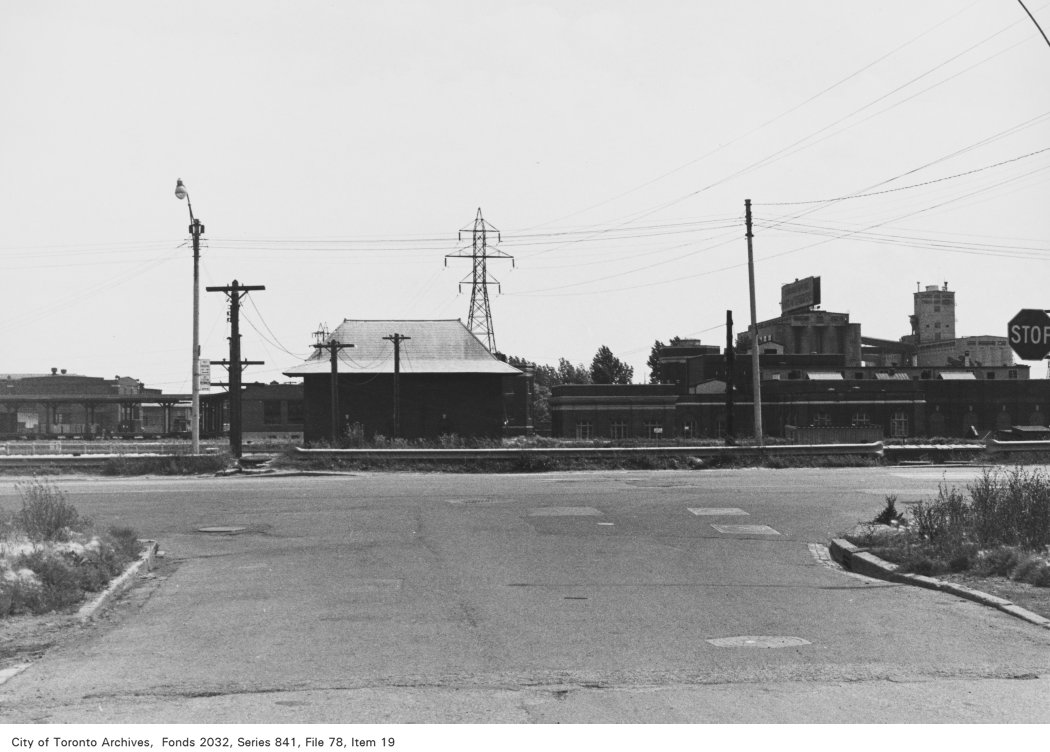
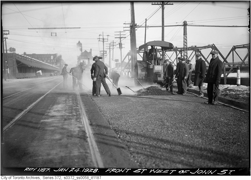
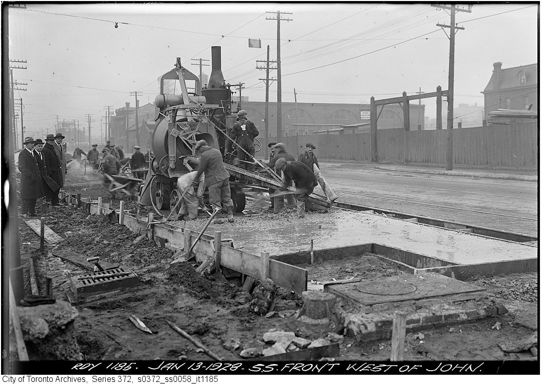
Photo locations are matched from each photo’s title against City street and address data, so some may be off. Report a wrong location