20 Raglan Ave
An address in Humewood-Cedarvale, outside TRCA flood and shoreline hazard areas, with 15 active development applications within 250 metres.
Data as of Nov 8, 2026 · Every item lists its source
- Outside TRCA flood and shoreline hazard areas.
- 15 active development applications and 4 Committee of Adjustment applications within 250 m.
01The building
Recent permits (2)
- Demolition · Closed · Nov 16, 2023
Proposal to demolish the existing 2 storey SFD-semi dwelling.See also 22 132957 STE 12 SA for future proposal (mixed use building). · Permit 22 242057 DEM - Building Permit Related(PS) · Closed · Aug 14, 2008
Plumbing - interior alterations to existing sfd semi detacehd house - interior alterations on all floors · Permit 08 191685 PLB
02Risks and the ground
TRCA mapping is for screening, not site-specific decisions. Lead results are voluntary samples from homes in the postal area, not this address.
03What’s changing nearby
- 179 Raglan Ave · 42 m · Site Plan · NOAC IssuedSite Plan Control application for a new 28 Storey, Residential tower with 3 levels of underground parkingFile 20 233772 STE 12 SA · submitted Dec 24, 2020 · City record
- 281 Raglan Ave · 42 m · Site Plan · NOAC IssuedSite Plan Control application for a new 28 Storey, Residential tower with 3 levels of underground parkingFile 20 233772 STE 12 SA · submitted Dec 24, 2020 · City record
- 383 Raglan Ave · 42 m · Site Plan · NOAC IssuedSite Plan Control application for a new 28 Storey, Residential tower with 3 levels of underground parkingFile 20 233772 STE 12 SA · submitted Dec 24, 2020 · City record
- 477 Raglan Ave · 43 m · Site Plan · NOAC IssuedSite Plan Control application for a new 28 Storey, Residential tower with 3 levels of underground parkingFile 20 233772 STE 12 SA · submitted Dec 24, 2020 · City record
- 575 Raglan Ave · 45 m · Site Plan · NOAC IssuedSite Plan Control application for a new 28 Storey, Residential tower with 3 levels of underground parkingFile 20 233772 STE 12 SA · submitted Dec 24, 2020 · City record
- 673 Raglan Ave · 46 m · Site Plan · NOAC IssuedSite Plan Control application for a new 28 Storey, Residential tower with 3 levels of underground parkingFile 20 233772 STE 12 SA · submitted Dec 24, 2020 · City record
- 771 Raglan Ave · 49 m · Site Plan · NOAC IssuedSite Plan Control application for a new 28 Storey, Residential tower with 3 levels of underground parkingFile 20 233772 STE 12 SA · submitted Dec 24, 2020 · City record
- 869 Raglan Ave · 52 m · Site Plan · NOAC IssuedSite Plan Control application for a new 28 Storey, Residential tower with 3 levels of underground parkingFile 20 233772 STE 12 SA · submitted Dec 24, 2020 · City record
- 991 Raglan Ave · 52 m · Site Plan · Under ReviewSite Plan Approval application to facilitate the development of the site for a 26-storey residential building. The proposed residential gross floor area is 19124 square metres, and 225 residential dwelling units are proposed.File 21 213475 STE 12 SA · submitted Sep 16, 2021 · City record
- 1091 Raglan Ave · 52 m · Official Plan / Rezoning · Council ApprovedZoning By-law Amendment application to facilitate the development of the site for a 26-storey residential building atop a 6-storey podium element.File 21 199866 STE 12 OZ · submitted Aug 17, 2021 · City record
- 1193 Raglan Ave · 55 m · Site Plan · Under ReviewSite Plan Approval application to facilitate the development of the site for a 26-storey residential building. The proposed residential gross floor area is 19124 square metres, and 225 residential dwelling units are proposed.File 21 213475 STE 12 SA · submitted Sep 16, 2021 · City record
- 1293 Raglan Ave · 55 m · Official Plan / Rezoning · Council ApprovedZoning By-law Amendment application to facilitate the development of the site for a 26-storey residential building atop a 6-storey podium element.File 21 199866 STE 12 OZ · submitted Aug 17, 2021 · City record
Development Applications; Committee of Adjustment Applications · 7 registered short-term rentals within 250 m.
04City services
05Quick answers about 20 Raglan Ave
Is 20 Raglan Ave in a flood plain?
No. It is outside TRCA's mapped flood and shoreline hazard areas. Source: TRCA Regulation mapping 2025.
What is being built near 20 Raglan Ave?
15 active development applications within 250 metres, the closest at 79 Raglan Ave (42 m). Source: Development Applications.
When is garbage day at 20 Raglan Ave?
Collection calendar Thursday 2. Next garbage pickup: Nov 12, 2026. Source: Solid Waste Collection Schedule.
Answers are generated from the data on this page and update when the data changes.
06From the archives


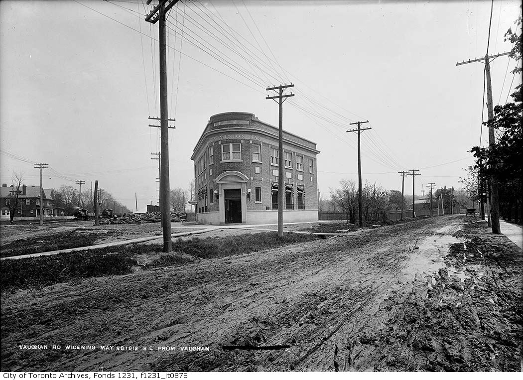


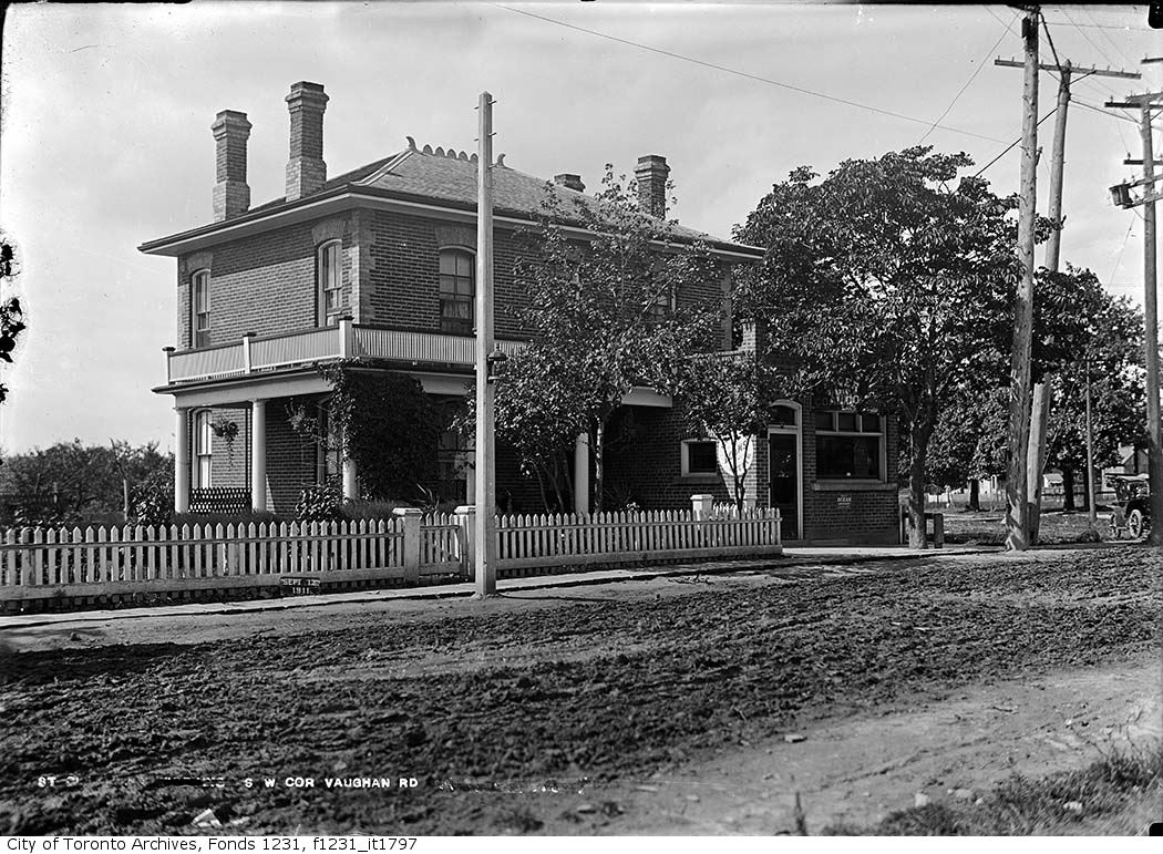
Photo locations are matched from each photo’s title against City street and address data, so some may be off. Report a wrong location