200 Wellesley St E
A registered apartment building built in 1970 with a RentSafe score of 82, outside TRCA flood and shoreline hazard areas, with 15 active development applications within 250 metres.
Data as of Nov 8, 2026 · Every item lists its source
- RentSafe evaluation score of 82 out of 100 (evaluated Nov 13, 2025).
- No fire code violations in open inspections.
- Outside TRCA flood and shoreline hazard areas.
- 15 active development applications and 0 Committee of Adjustment applications within 250 m.
01The building
Recent permits (8)
- Building Permit Related(PS) · Permit Issued · Sep 24, 2026
Plumbing - Proposal for wholesale replacement of podium deck landscape finishes, wholesale waterproofing replacement, drainage system repairs, swimming pool demo, localized slab replacement,… · Permit 26 154590 PLB - Building Permit Related(FS) · Application On Hold · Sep 24, 2026
FS - Sprinkler Shop Drawing - Proposal for wholesale replacement of podium deck landscape finishes, wholesale waterproofing replacement, drainage system repairs, swimming pool demo, localized slab… · Permit 26 154590 FSU - Multiple Projects · Permit Issued · Sep 24, 2026
Proposal for wholesale replacement of podium deck landscape finishes, wholesale waterproofing replacement, drainage system repairs, swimming pool demo, localized slab replacement,… · Permit 26 154590 BLD - Inside and Outside Drains · Permit Issued · Sep 24, 2026
Drain - Proposal for wholesale replacement of podium deck landscape finishes, wholesale waterproofing replacement, drainage system repairs, swimming pool demo, localized slab replacement,… · Permit 26 154590 STS - Fire Alarm · Revision Issued · Aug 13, 2026
REVISIO 3 - revised fire alarmsProposed New fire alarm closets on every floor from 2nd floor to 29th floor. New smoke control doors on both corridors of every floor from 2nd floor to 29th floor. No… · Permit 21 206791 FSU - Building Permit Related(PS) · Permit Issued · Aug 11, 2026
Plumbing - Proposal for plumbing, sanitary and storm water replanement · Permit 26 160224 PLB - Building Permit Related(MS) · Revision Issued · Jul 2, 2026
Revision: to reflect on site changes · Permit 24 202163 HVA - Building Permit Related(FS) · Closed · Jun 12, 2026
FS - Sprinkler Shop Drawing - PROPOSAL TO CONSTRUCT INTERIOR ALTERATIONS OF BASEMENT COMMON AREAS, FOUNDATION WATERPROOFING AND SKYLIGHT(in conjunction with Fire/Security Upgrade Permit # 21 206791… · Permit 24 202163 FSU
02Risks and the ground
TRCA mapping is for screening, not site-specific decisions. Lead results are voluntary samples from homes in the postal area, not this address.
03What’s changing nearby
- 1545-565 Sherbourne St · 162 m · Site Plan · NOAC IssuedSite Plan Control application for a 51-storey mixed use building with a GFA of 35,000 sq. m with 499 sq. m of retail space and 511 residential units, and the total number of rental units on the Block is 2057 units, of which 24 are rental…File 18 149815 STE 28 SA · submitted Apr 27, 2018 · City record
- 2545 Sherbourne St · 199 m · Site Plan · NOAC IssuedSite Plan Control application for a 51-storey mixed use building with a GFA of 35,000 sq. m with 499 sq. m of retail space and 511 residential units, and the total number of rental units on the Block is 2057 units, of which 24 are rental…File 18 149815 STE 28 SA · submitted Apr 27, 2018 · City record
- 3583 Sherbourne St · 208 m · Site Plan · NOAC IssuedSite Plan Control application for a 51-storey mixed use building with a GFA of 35,000 sq. m with 499 sq. m of retail space and 511 residential units, and the total number of rental units on the Block is 2057 units, of which 24 are rental…File 18 149815 STE 28 SA · submitted Apr 27, 2018 · City record
- 4589 Sherbourne St · 216 m · Site Plan · NOAC IssuedSite Plan Control application for a 51-storey mixed use building with a GFA of 35,000 sq. m with 499 sq. m of retail space and 511 residential units, and the total number of rental units on the Block is 2057 units, of which 24 are rental…File 18 149815 STE 28 SA · submitted Apr 27, 2018 · City record
- 5566 Sherbourne St · 226 m · Official Plan / Rezoning · OMB AppealOfficial Plan Amendment & Rezoning for a 69-storey residential building that will contain 872 residential dwelling units (including rental replacement units).File 23 138754 STE 13 OZ · submitted Apr 27, 2023 · City record
- 6591 Sherbourne St · 226 m · Site Plan · NOAC IssuedSite Plan Control application for a 51-storey mixed use building with a GFA of 35,000 sq. m with 499 sq. m of retail space and 511 residential units, and the total number of rental units on the Block is 2057 units, of which 24 are rental…File 18 149815 STE 28 SA · submitted Apr 27, 2018 · City record
- 7568 Sherbourne St · 229 m · Official Plan / Rezoning · OMB AppealOfficial Plan Amendment & Rezoning for a 69-storey residential building that will contain 872 residential dwelling units (including rental replacement units).File 23 138754 STE 13 OZ · submitted Apr 27, 2023 · City record
- 8570 Sherbourne St · 230 m · Official Plan / Rezoning · OMB AppealOfficial Plan Amendment & Rezoning for a 69-storey residential building that will contain 872 residential dwelling units (including rental replacement units).File 23 138754 STE 13 OZ · submitted Apr 27, 2023 · City record
- 9595 Sherbourne St · 231 m · Site Plan · NOAC IssuedSite Plan Control application for a 51-storey mixed use building with a GFA of 35,000 sq. m with 499 sq. m of retail space and 511 residential units, and the total number of rental units on the Block is 2057 units, of which 24 are rental…File 18 149815 STE 28 SA · submitted Apr 27, 2018 · City record
- 107 Howard St · 232 m · Site Plan · NOAC IssuedSite Plan Control application for a 51-storey mixed use building with a GFA of 35,000 sq. m with 499 sq. m of retail space and 511 residential units, and the total number of rental units on the Block is 2057 units, of which 24 are rental…File 18 149815 STE 28 SA · submitted Apr 27, 2018 · City record
- 11597 Sherbourne St · 234 m · Site Plan · NOAC IssuedSite Plan Control application for a 51-storey mixed use building with a GFA of 35,000 sq. m with 499 sq. m of retail space and 511 residential units, and the total number of rental units on the Block is 2057 units, of which 24 are rental…File 18 149815 STE 28 SA · submitted Apr 27, 2018 · City record
- 12572 Sherbourne St · 235 m · Official Plan / Rezoning · OMB AppealOfficial Plan Amendment & Rezoning for a 69-storey residential building that will contain 872 residential dwelling units (including rental replacement units).File 23 138754 STE 13 OZ · submitted Apr 27, 2023 · City record
Development Applications; Committee of Adjustment Applications · 46 registered short-term rentals within 250 m.
04City services
05Quick answers about 200 Wellesley St E
Is 200 Wellesley St E in a flood plain?
No. It is outside TRCA's mapped flood and shoreline hazard areas. Source: TRCA Regulation mapping 2025.
Does 200 Wellesley St E have open fire code violations?
No. The City's fire inspection records show no violations in open inspections. Source: Residential Fire Inspection Results.
What is being built near 200 Wellesley St E?
15 active development applications within 250 metres, the closest at 545-565 Sherbourne St (162 m). Source: Development Applications.
When is garbage day at 200 Wellesley St E?
Collection calendar Wednesday 1. Next garbage pickup: Nov 18, 2026. Source: Solid Waste Collection Schedule.
Answers are generated from the data on this page and update when the data changes.
06From the archives
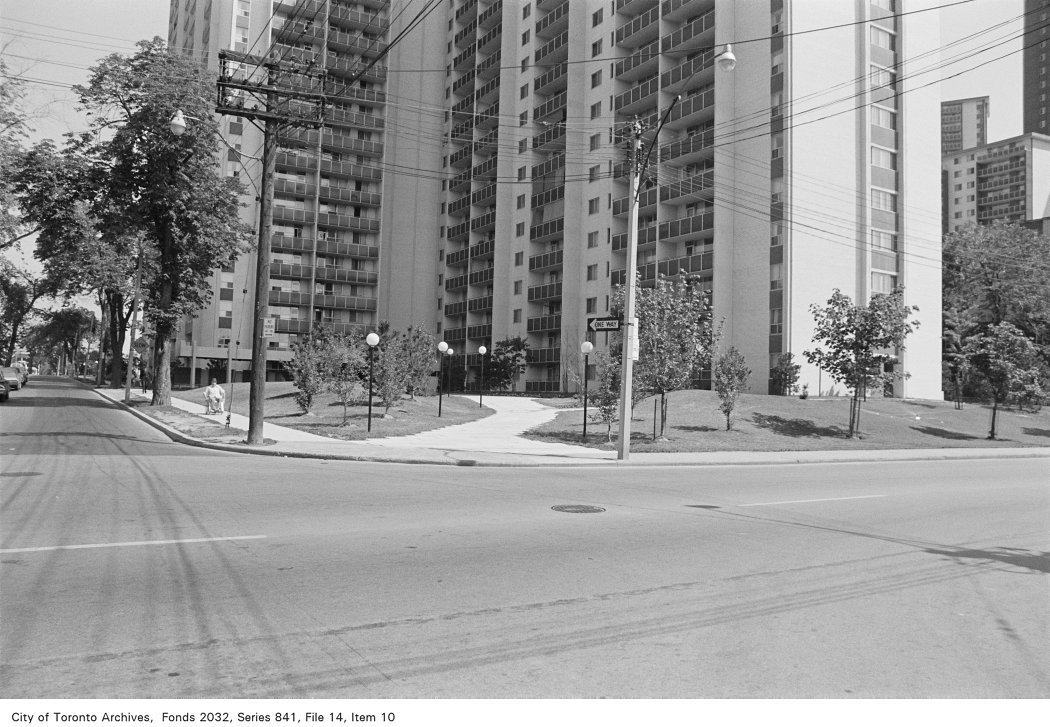
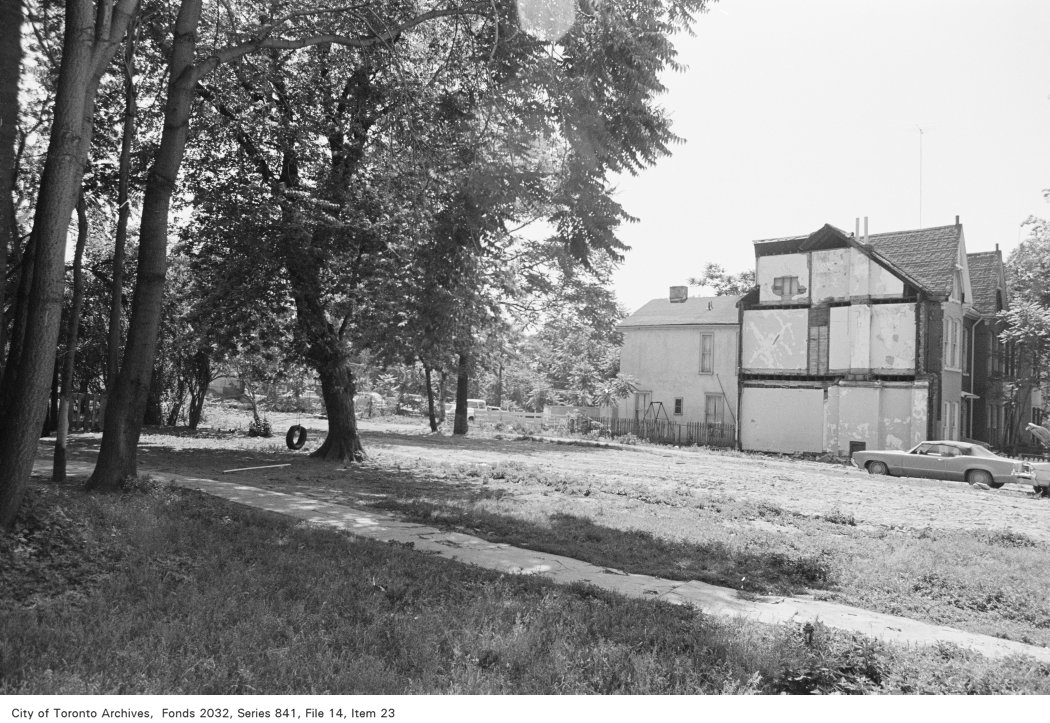
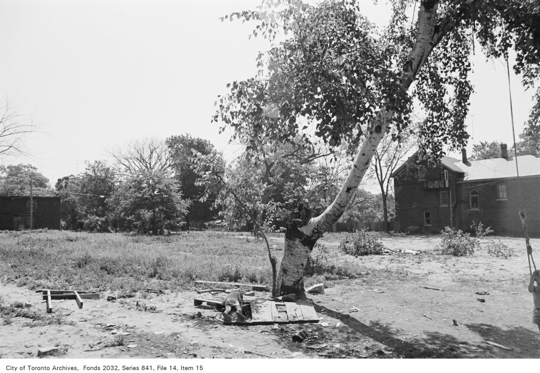
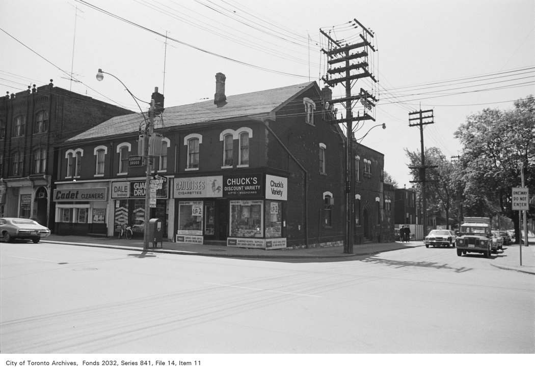
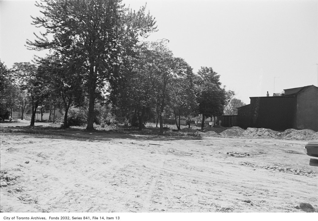
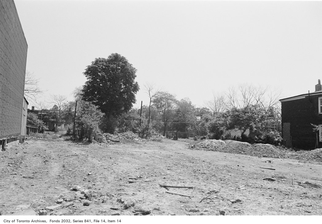
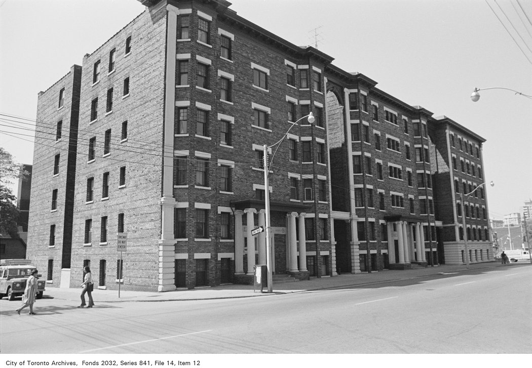
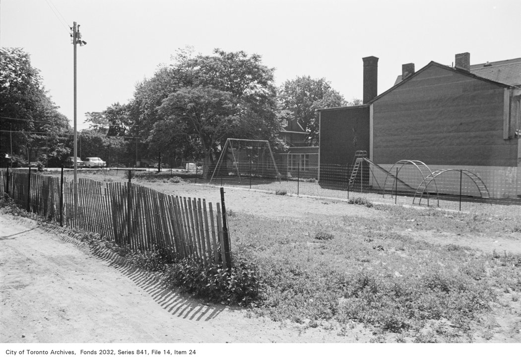
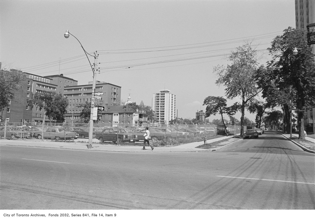
Photo locations are matched from each photo’s title against City street and address data, so some may be off. Report a wrong location