Skip to content
My Address in Toronto
Address report

202 Munro St

An address in South Riverdale, outside TRCA flood and shoreline hazard areas, with 4 active development applications within 250 metres.

Data as of Nov 8, 2026 · Every item lists its source

Follow this address
Key findings
  • Outside TRCA flood and shoreline hazard areas.
  • 4 active development applications and 0 Committee of Adjustment applications within 250 m.
RentSafe score—not a registered apartment building
Fire code violations—no inspection records
Applications4active within 250 m
Flood hazardOutsideTRCA mapping
First AveBoulton AveMunro StHamilton StMountstephen StAllen AveOak StCornwall StJack Layton WaySt Matthews RdBlackburn StDundas St ERiver StGerrard St EBroadview AveBayview AveDon Valley Parkway NDon Valley Parkway S1234Map data: City of Toronto (Toronto Centreline)
The red circle shows the 250-metre radius used for “Nearby” items. Numbers match the applications listed below.

01The building

ItemFindingPrecisionSource · as of
RentSafe evaluationNot a registered apartment buildingThis addressApartment Building Evaluation
Fire code inspectionsNo inspection recordsThis addressResidential Fire Inspection Results
Building orders and noticesNone on recordThis addressBuilding Construction/Demolition Violations
Building permits, last 5 years1 permitThis addressBuilding Permits · 2 on record
Short-term rentalNot registeredThis addressShort Term Rentals Registration
Heritage statusNot on the Heritage RegisterThis addressHeritage Register
Recent permits (2)
  • Porch · Inspection · Aug 29, 2022
    Proposal to construct repairs to an existing porch. · Permit 22 185863 BLD
  • Party Wall Admin Permits · Closed · Sep 1, 2020
    Party wall admin permit in relation to Permit #: 20 133411 BLD 01 SR - 200 Munro St. · Permit 20 173186 BLD

02Risks and the ground

ItemFindingPrecisionSource · as of
River flood hazardOutsideThis addressTRCA Regulation mapping 2025
Lake shoreline hazardOutsideThis addressTRCA Regulation mapping 2025
TRCA regulated areaOutsideThis addressTRCA Regulation mapping 2025
Basement flooding study areaBFA32Your areaBasement Flooding Study Areas · the City divides all of Toronto into study areas; this names yours, not a risk level
Lead in tap water samples, postal area M4M10 of 357 above 0.01 ppmYour area · M4MNon Regulated Lead Sample · Jan 8, 2014 to Oct 5, 2026

TRCA mapping is for screening, not site-specific decisions. Lead results are voluntary samples from homes in the postal area, not this address.

03What’s changing nearby

  1. 1
    238 Hamilton St · 86 m · Site Plan · Under Review
    Site Plan Application to redevelop the lands municipally known as 563 Gerrard Street East and 238 Hamilton Street with a 13-unit mixed-use project comprised of 2 corner commercial buildings with residential atop, 10 new freehold…
    File 18 155186 STE 30 SA · submitted May 8, 2018 · City record
  2. 2
    563-565 Gerrard St E · 89 m · Site Plan · Under Review
    Site Plan Application to redevelop the lands municipally known as 563 Gerrard Street East and 238 Hamilton Street with a 13-unit mixed-use project comprised of 2 corner commercial buildings with residential atop, 10 new freehold…
    File 18 155186 STE 30 SA · submitted May 8, 2018 · City record
  3. 3
    415 Broadview Ave · 128 m · Site Plan · Under Review
    Site Plan Approval for a proposed residential addition to the existing congregation. The proposal will contain 3,824 square metres of residential gross floor area (GFA) and 51 residential units . The proposed plans also included 181…
    File 24 140233 STE 14 SA · submitted Apr 24, 2024 · City record
  4. 4
    415 Broadview Ave · 128 m · Official Plan / Rezoning · Appeal Received
    A 10 storey building adding to, and modifying, the existing heritage church building onsite. 4,892.98 square metres of residential gross floor area (GFA) are proposed, as well as 683 square metres of non-residential space to be allocated…
    File 21 251348 STE 14 OZ · submitted Dec 24, 2021 · City record

Development Applications; Committee of Adjustment Applications · 7 registered short-term rentals within 250 m.

04City services

ItemFindingPrecisionSource · as of
Garbage dayNovember 19, 2026This addressCollection calendar Thursday 1
Next recyclingNovember 12, 2026This addressSolid Waste Collection Schedule
City councillorPaula FletcherWard 14councillor_fletcher@toronto.ca · 416-392-4060

05Quick answers about 202 Munro St

Is 202 Munro St in a flood plain?

No. It is outside TRCA's mapped flood and shoreline hazard areas. Source: TRCA Regulation mapping 2025.

What is being built near 202 Munro St?

4 active development applications within 250 metres, the closest at 238 Hamilton St (86 m). Source: Development Applications.

When is garbage day at 202 Munro St?

Collection calendar Thursday 1. Next garbage pickup: Nov 19, 2026. Source: Solid Waste Collection Schedule.

Answers are generated from the data on this page and update when the data changes.

06From the archives
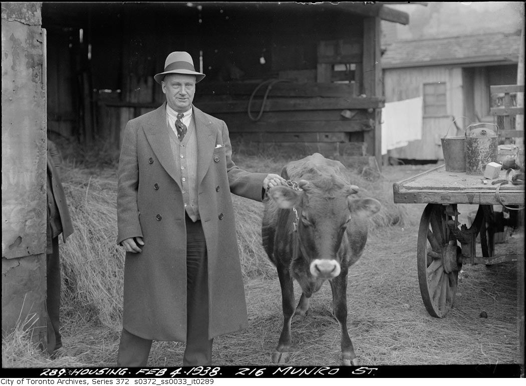
216 Munro Street
216 Munro Street, 1938. City of Toronto Archives, Fonds 200, Series 372, Subseries 33, Item 289. 39 m away.
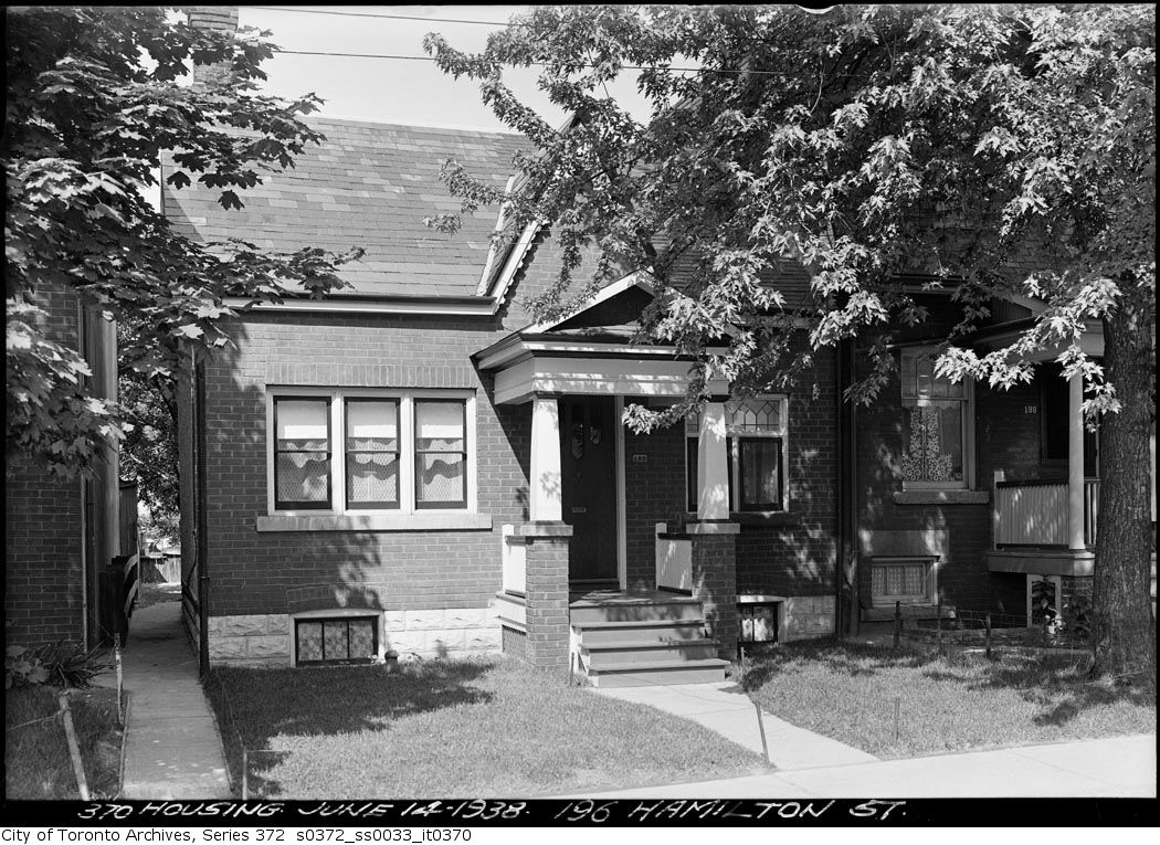
196 Hamilton Street
196 Hamilton Street, 1938. City of Toronto Archives, Fonds 200, Series 372, Subseries 33, Item 370. 74 m away.
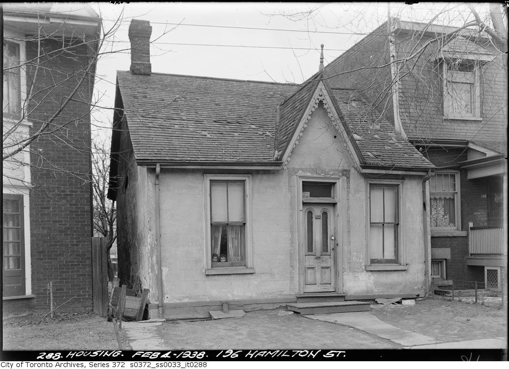
196 Hamilton Street
196 Hamilton Street, 1938. City of Toronto Archives, Fonds 200, Series 372, Subseries 33, Item 288. 74 m away.
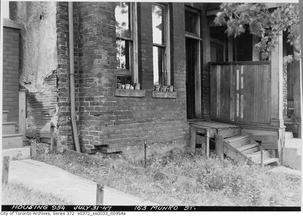
163 Munro Street
163 Munro Street, 1947. City of Toronto Archives, Fonds 200, Series 372, Subseries 33, Item 954a. 117 m away.
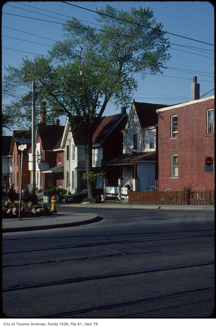
Munro St and Gerrard St E.
Munro St and Gerrard St E., 1981. City of Toronto Archives, Fonds 1526, File 61, Item 79. 146 m away.
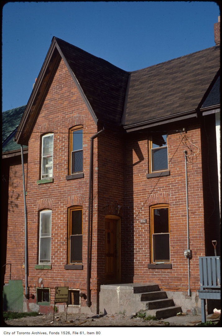
Munro St and Gerrard St
Munro St and Gerrard St, 1981. City of Toronto Archives, Fonds 1526, File 61, Item 80. 146 m away.
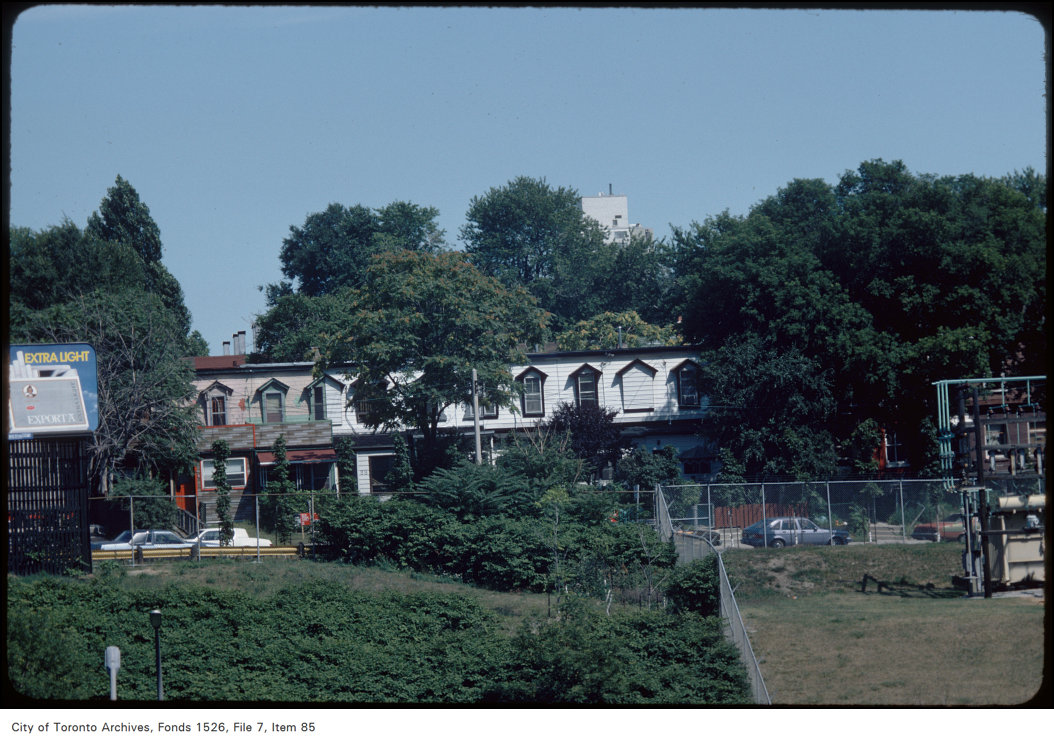
View of houses and empty lot on Blackburn Street, west of Broadview from Gerrard Street East
View of houses and empty lot on Blackburn Street, west of Broadview from Gerrard Street East, 1984. City of Toronto Archives, Fonds 1526, File 7, Item 85. 152 m away.
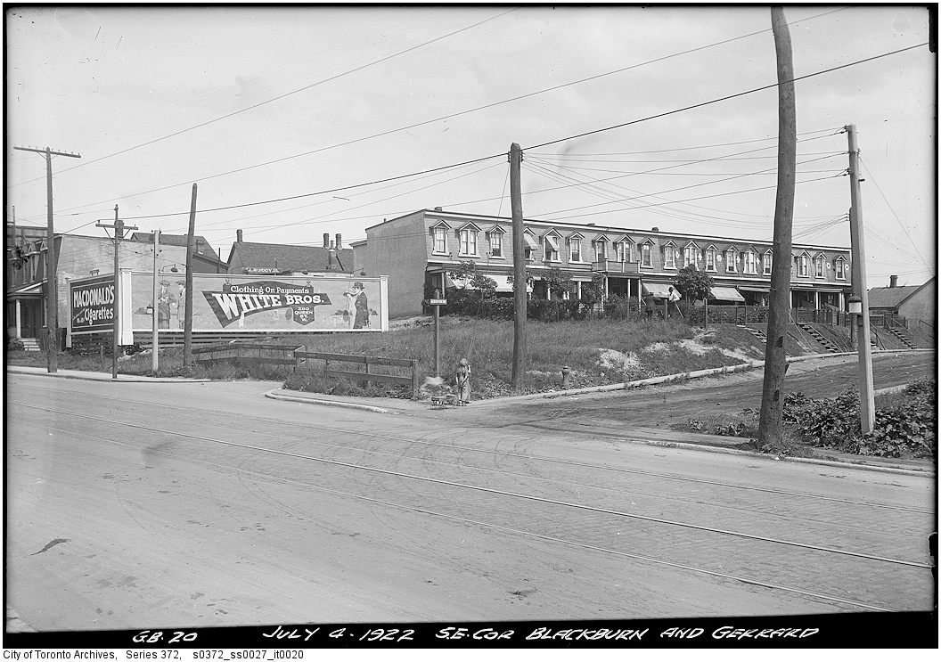
Southeast corner of Gerrard and Blackburn Streets
Southeast corner of Gerrard and Blackburn Streets, 1922. City of Toronto Archives, Fonds 200, Series 372, Subseries 27, Item 20. 152 m away.
JAIL (1865-), Gerrard St. E., n. side, betw. St. Matthews Rd. & Broadview Ave.
JAIL (1865-), Gerrard St. E., n. side, betw. St. Matthews Rd. & Broadview Ave. , 1910. Courtesy of Toronto Public Library. 155 m away.

Photo locations are matched from each photo’s title against City street and address data, so some may be off. Report a wrong location

202 Munro St, Toronto — address report · My Address in Toronto