22 Bartley Dr
An address in Victoria Village, outside TRCA flood and shoreline hazard areas, with 11 active development applications within 250 metres.
Data as of Nov 7, 2026 · Every item lists its source
- Outside TRCA flood and shoreline hazard areas.
- 11 active development applications and 0 Committee of Adjustment applications within 250 m.
01The building
Recent permits (1)
- Garage · Cancelled · Oct 16, 2026
Proposal to demolish existing garage and build a new garage · Permit 26 255725 BLD
02Risks and the ground
TRCA mapping is for screening, not site-specific decisions. Lead results are voluntary samples from homes in the postal area, not this address.
03What’s changing nearby
- 11525 Victoria Park Ave · 50 m · Subdivision · OMB ApprovedDraft Plan of Subdivision application to create 7 blocks with new streets to permit a mixed-use development on the lands at 1880-1890 Eglinton Avenue East. The application is related to Official Plan Amendment Application No. 16 269853…File 20 209194 ESC 21 SB · submitted Oct 21, 2020 · City record
- 21523 Victoria Park Ave · 66 m · Subdivision · OMB ApprovedDraft Plan of Subdivision application to create 7 blocks with new streets to permit a mixed-use development on the lands at 1880-1890 Eglinton Avenue East. The application is related to Official Plan Amendment Application No. 16 269853…File 20 209194 ESC 21 SB · submitted Oct 21, 2020 · City record
- 31527-1543 Victoria Park Ave · 106 m · Subdivision · OMB ApprovedDraft Plan of Subdivision application to create 7 blocks with new streets to permit a mixed-use development on the lands at 1880-1890 Eglinton Avenue East. The application is related to Official Plan Amendment Application No. 16 269853…File 20 209194 ESC 21 SB · submitted Oct 21, 2020 · City record
- 41545 Victoria Park Ave · 155 m · Subdivision · OMB ApprovedDraft Plan of Subdivision application to create 7 blocks with new streets to permit a mixed-use development on the lands at 1880-1890 Eglinton Avenue East. The application is related to Official Plan Amendment Application No. 16 269853…File 20 209194 ESC 21 SB · submitted Oct 21, 2020 · City record
- 59 Craigton Dr · 196 m · Subdivision · Under ReviewDraft Plan of Subdivision application for the lands at 860 Pharmacy Ave, 9-23 and 32-40 Craigton Dr, and 1 Rannock St (Starlight lands) to create three (3) development blocks, including one block for public parkland, and a new public…File 23 172397 ESC 21 SB · submitted Jul 10, 2023 · City record
- 69 Craigton Dr · 196 m · Official Plan / Rezoning · Under ReviewZoning By-law Amendment application to permit a mixed-use development with building heights that range from eight (8) to 31 storeys, new and re-aligned public streets, and 3,432 sq. m. of public parkland. A total of 1,042 residential…File 23 172335 ESC 21 OZ · submitted Jul 10, 2023 · City record
- 71880-1890 Eglinton Ave E · 243 m · Site Plan · Under ReviewSite Plan application for Block F (Building F1) on the southwest portion of the lands at 1880-1890 Eglinton Ave E to permit a 32-storey (102.95 metres including mechanical penthouse) mixed-use building, including a one to two-storey base…File 22 110353 ESC 21 SA · submitted Feb 3, 2022 · City record
- 81880-1890 Eglinton Ave E · 243 m · Site Plan · Under ReviewSite Plan application for Block F (Building F2) on the southwest portion of the lands at 1880-1890 Eglinton Ave E to permit two mixed-use buildings: a 39-storey (north) building (130.7 metres including mechanical penthouse) and a…File 22 109282 ESC 21 SA · submitted Jan 31, 2022 · City record
- 91880-1890 Eglinton Ave E · 243 m · Subdivision · OMB ApprovedDraft Plan of Subdivision application to create 7 blocks with new streets to permit a mixed-use development on the lands at 1880-1890 Eglinton Avenue East. The application is related to Official Plan Amendment Application No. 16 269853…File 20 209194 ESC 21 SB · submitted Oct 21, 2020 · City record
- 1015 Craigton Dr · 245 m · Subdivision · Under ReviewDraft Plan of Subdivision application for the lands at 860 Pharmacy Ave, 9-23 and 32-40 Craigton Dr, and 1 Rannock St (Starlight lands) to create three (3) development blocks, including one block for public parkland, and a new public…File 23 172397 ESC 21 SB · submitted Jul 10, 2023 · City record
- 1115 Craigton Dr · 245 m · Official Plan / Rezoning · Under ReviewZoning By-law Amendment application to permit a mixed-use development with building heights that range from eight (8) to 31 storeys, new and re-aligned public streets, and 3,432 sq. m. of public parkland. A total of 1,042 residential…File 23 172335 ESC 21 OZ · submitted Jul 10, 2023 · City record
Development Applications; Committee of Adjustment Applications · 1 registered short-term rentals within 250 m.
04City services
05Quick answers about 22 Bartley Dr
Is 22 Bartley Dr in a flood plain?
No. It is outside TRCA's mapped flood and shoreline hazard areas. Source: TRCA Regulation mapping 2025.
What is being built near 22 Bartley Dr?
11 active development applications within 250 metres, the closest at 1525 Victoria Park Ave (50 m). Source: Development Applications.
When is garbage day at 22 Bartley Dr?
Collection calendar Thursday 2. Next garbage pickup: Nov 12, 2026. Source: Solid Waste Collection Schedule.
Answers are generated from the data on this page and update when the data changes.
06From the archives
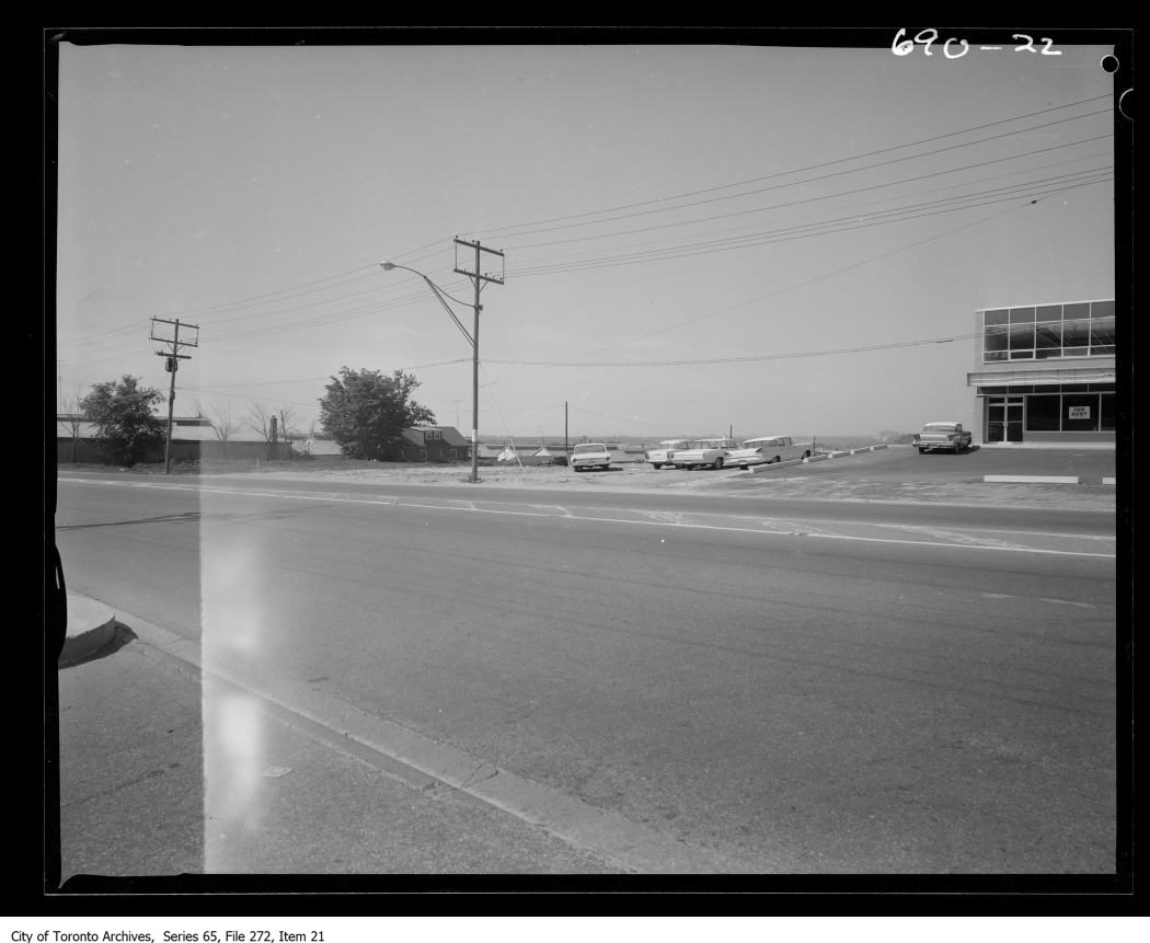
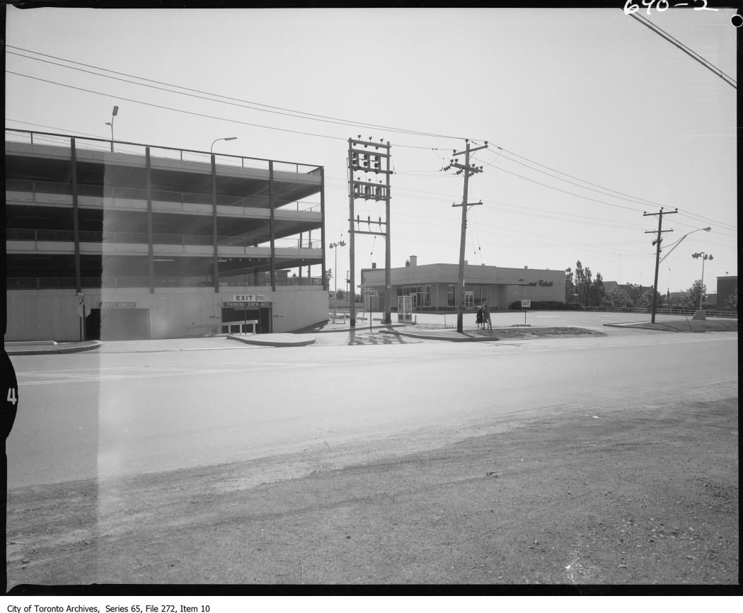
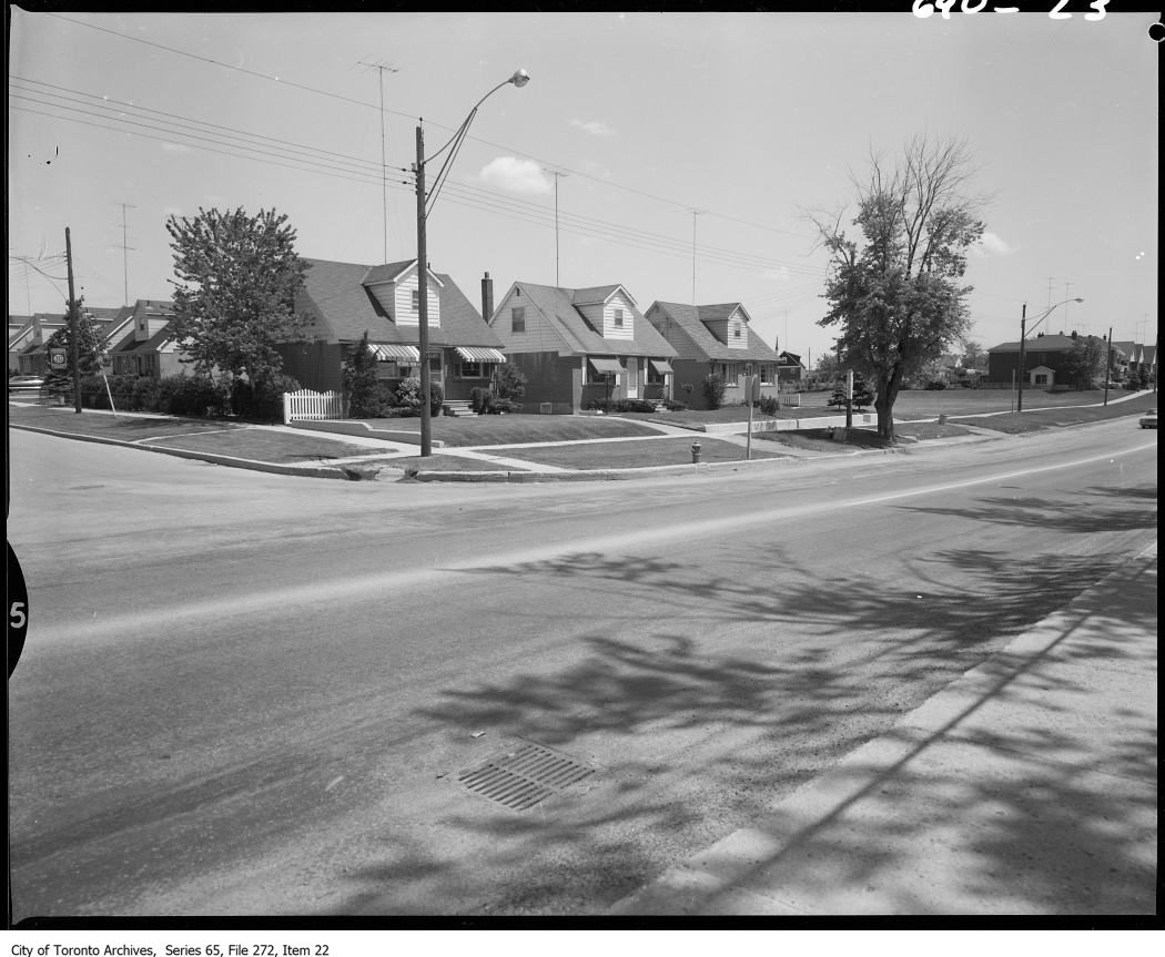
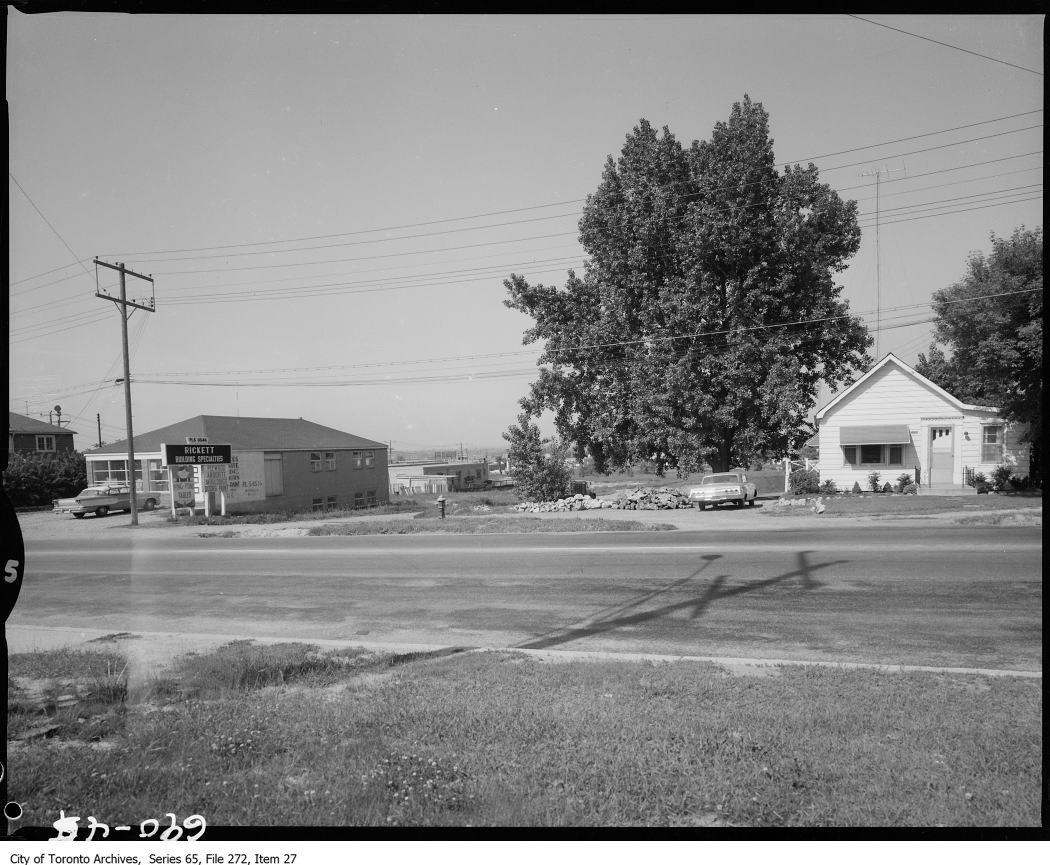
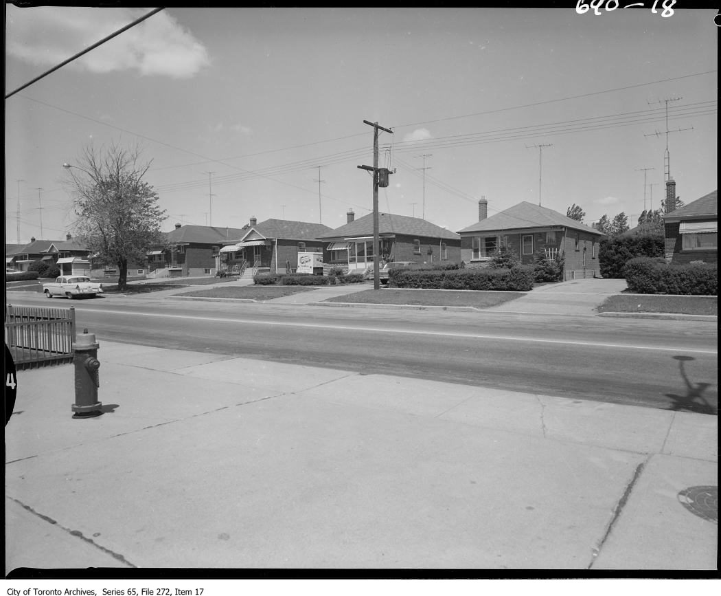
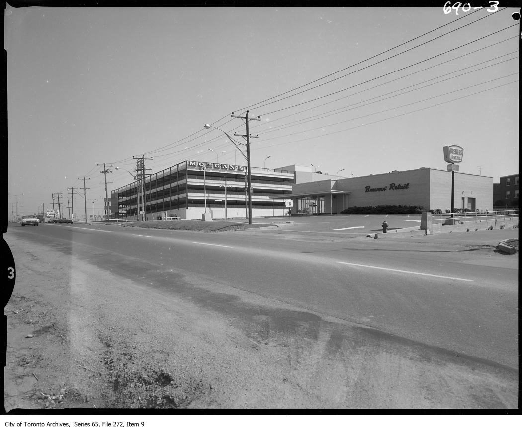
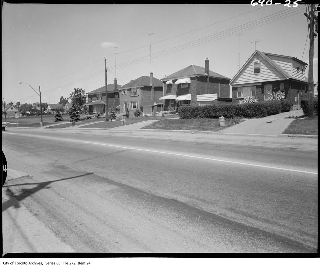
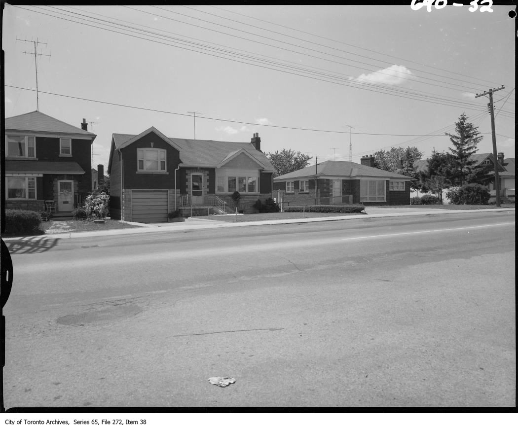
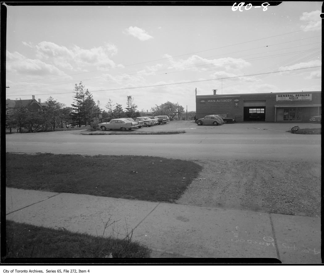
Photo locations are matched from each photo’s title against City street and address data, so some may be off. Report a wrong location