25 Berkeley St
A property on the Heritage Register (Part IV), outside TRCA flood and shoreline hazard areas, with 15 active development applications within 250 metres.
Data as of Nov 7, 2026 · Every item lists its source
- On the Heritage Register (Part IV).
- Outside TRCA flood and shoreline hazard areas.
- 15 active development applications and 4 Committee of Adjustment applications within 250 m.
01The building
Recent permits (2)
- Alternative Solution · Deficiency Notice Issued · Sep 17, 2025
Proposed Alternative Design Solution (ADS), which addresses the topic of Spatial Separation and Exposure Protection · Permit 25 226968 ALT - Site Service · Permit Issued · Aug 23, 2024
Proposed temporary site services (water supply) to the north site. · Permit 24 198864 STS
02Risks and the ground
TRCA mapping is for screening, not site-specific decisions. Lead results are voluntary samples from homes in the postal area, not this address.
03What’s changing nearby
- 1250 Front St E · 109 m · Site Plan · Under Reviewfor Corktown stationFile 23 142019 STE 13 SA · submitted May 5, 2023 · City record
- 2300 King St E · 117 m · Official Plan / Rezoning · OMB ApprovedThis application proposes a 46-storey (158.2 metres including mechanical penthouse) mixed-use building with 478 dwelling units and 663 square metres of retail at grade.File 21 235932 STE 13 OZ · submitted Nov 9, 2021 · City record
- 356 Berkeley St · 121 m · Official Plan / Rezoning · OMB ApprovedThis application proposes a 46-storey (158.2 metres including mechanical penthouse) mixed-use building with 478 dwelling units and 663 square metres of retail at grade.File 21 235932 STE 13 OZ · submitted Nov 9, 2021 · City record
- 4298 King St E · 129 m · Official Plan / Rezoning · OMB ApprovedThis application proposes a 46-storey (158.2 metres including mechanical penthouse) mixed-use building with 478 dwelling units and 663 square metres of retail at grade.File 21 235932 STE 13 OZ · submitted Nov 9, 2021 · City record
- 5298 King St E · 129 m · Site Plan · OMB AppealSite Plan Application for a 42-storey (139.90 metres including mechanical penthouse) mixed-use building with 1,188 square metres of commercial uses at grade and 449 dwelling units.File 23 188669 STE 13 SA · submitted Aug 14, 2023 · City record
- 658 Berkeley St · 131 m · Official Plan / Rezoning · OMB ApprovedThis application proposes a 46-storey (158.2 metres including mechanical penthouse) mixed-use building with 478 dwelling units and 663 square metres of retail at grade.File 21 235932 STE 13 OZ · submitted Nov 9, 2021 · City record
- 760 Berkeley St · 132 m · Official Plan / Rezoning · OMB ApprovedThis application proposes a 46-storey (158.2 metres including mechanical penthouse) mixed-use building with 478 dwelling units and 663 square metres of retail at grade.File 21 235932 STE 13 OZ · submitted Nov 9, 2021 · City record
- 8550 Adelaide St E · 137 m · Site Plan · Under ReviewSite Plan Application for a 29-storey mixed-use building having a non-residential gross floor area of 1012.2 square metres, and a residential gross floor area of 19248.9 square metres. 240 residential dwelling units are proposed.File 22 204774 STE 13 SA · submitted Sep 16, 2022 · City record
- 9296 King St E · 138 m · Official Plan / Rezoning · OMB ApprovedThis application proposes a 46-storey (158.2 metres including mechanical penthouse) mixed-use building with 478 dwelling units and 663 square metres of retail at grade.File 21 235932 STE 13 OZ · submitted Nov 9, 2021 · City record
- 10281 Front St E · 150 m · Official Plan / Rezoning · Under ReviewThe application proposes to amend the Official Plan and Zoning By-law to permit a mixed-used building consisting of two residential towers (54- and 50-storeys), 1,065 residential dwelling units, 643 square metres of retail space on the…File 26 163623 STE 13 OZ · submitted May 20, 2026 · City record
- 11351 King St E · 156 m · Official Plan / Rezoning · Council ApprovedThe application to amend the Zoning By-law proposes two new buildings for the property at 333-351 King Street East & 200 Front Street East. The proposed development includes a 37-storey residential building (140 metres tall) on the west…File 18 196225 STE 28 OZ · submitted Jul 18, 2018 · City record
- 12126 Parliament St · 189 m · Site Plan · OMB AppealSite Plan Application for a 46 storey (156.3 metres including mechanical penthouse) mixed-use building with 419 dwelling units and 328 square metres of commercial uses at grade.File 23 188919 STE 13 SA · submitted Aug 14, 2023 · City record
Development Applications; Committee of Adjustment Applications · 8 registered short-term rentals within 250 m.
04City services
05Quick answers about 25 Berkeley St
Is 25 Berkeley St in a flood plain?
No. It is outside TRCA's mapped flood and shoreline hazard areas. Source: TRCA Regulation mapping 2025.
What is being built near 25 Berkeley St?
15 active development applications within 250 metres, the closest at 250 Front St E (109 m). Source: Development Applications.
When is garbage day at 25 Berkeley St?
Collection calendar Wednesday 1. Next garbage pickup: Nov 18, 2026. Source: Solid Waste Collection Schedule.
Answers are generated from the data on this page and update when the data changes.
06From the archives
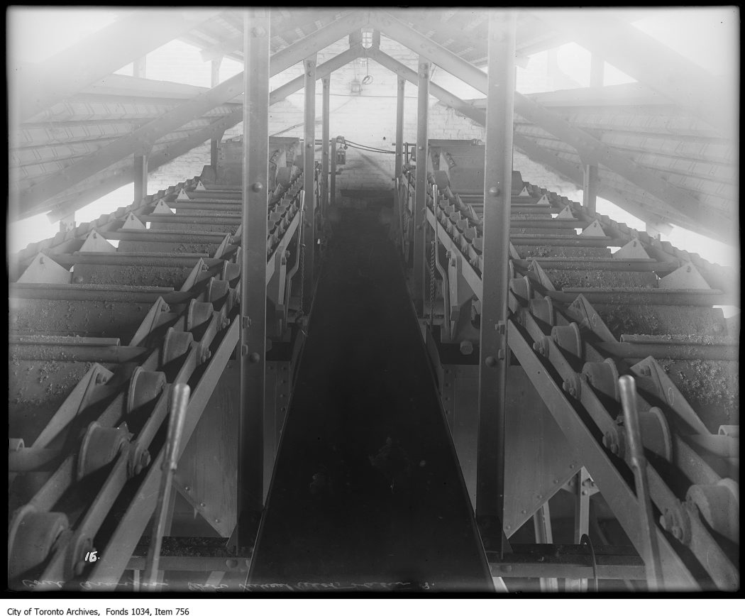
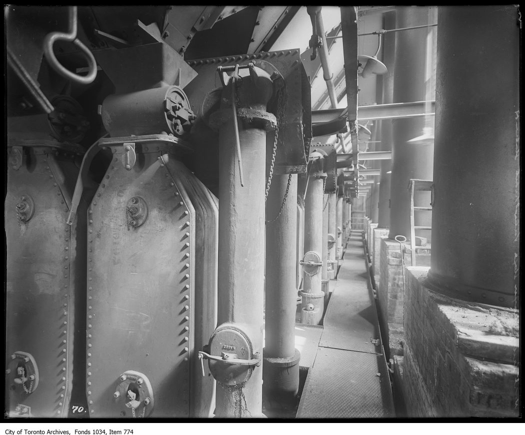
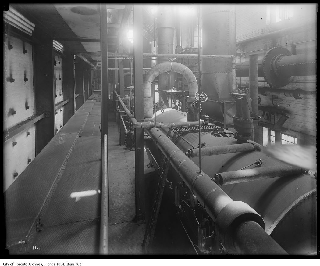
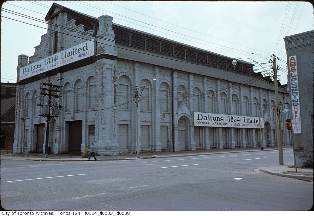
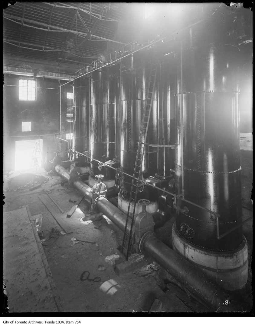
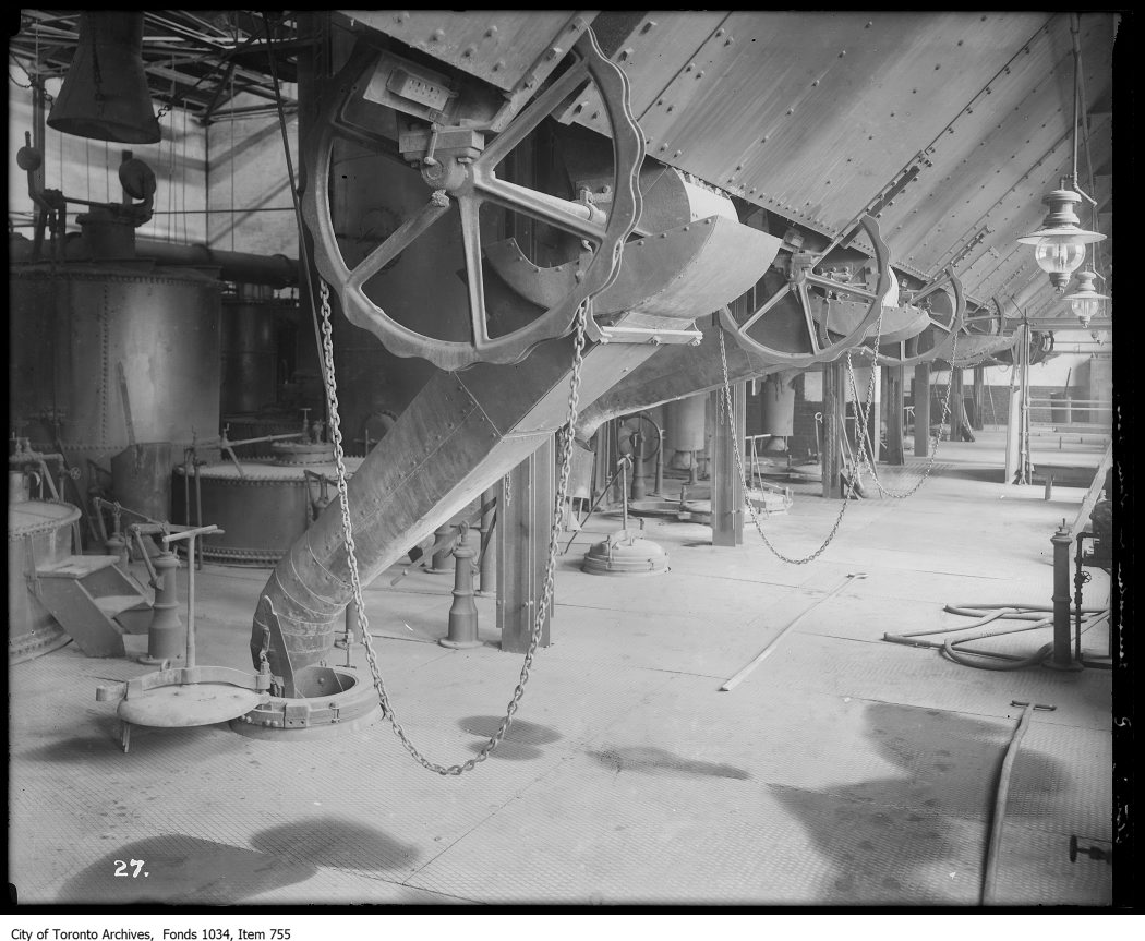
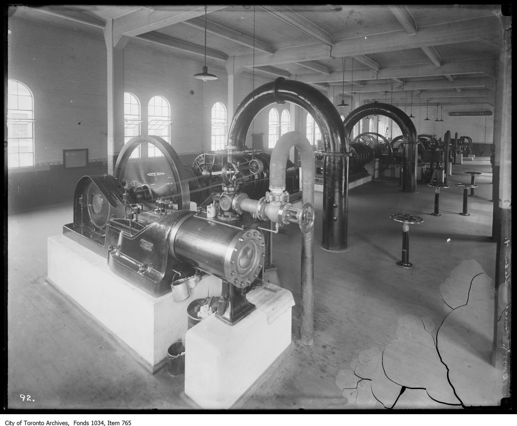
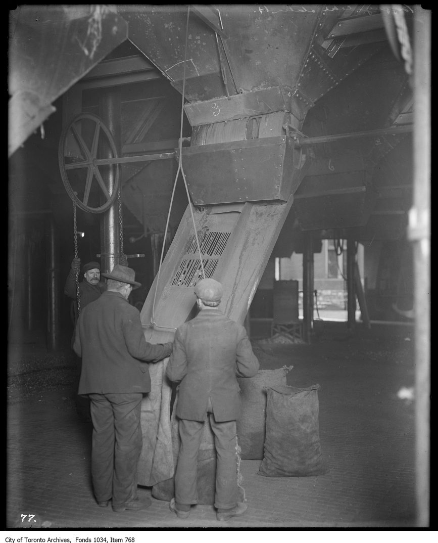
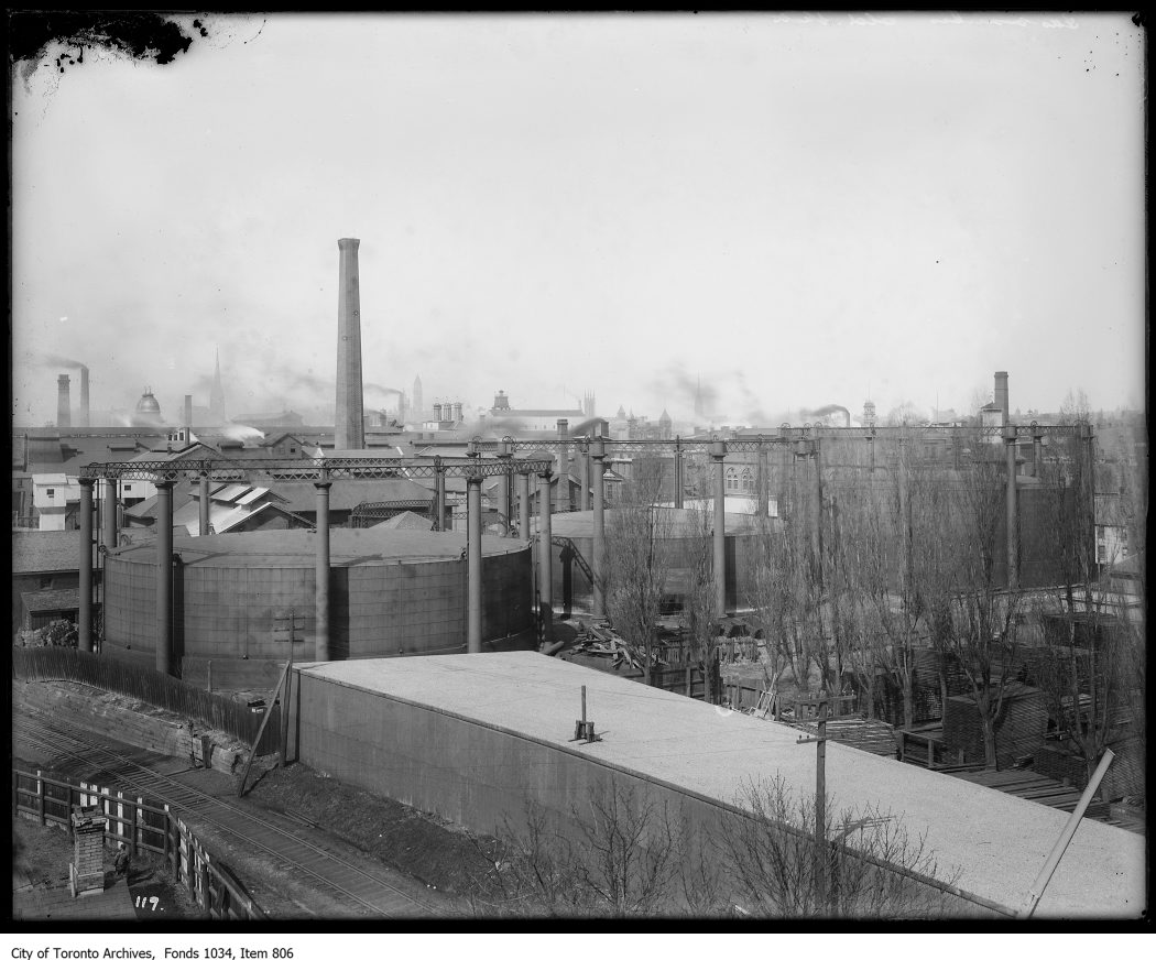
Photo locations are matched from each photo’s title against City street and address data, so some may be off. Report a wrong location