260 King St E
A property on the Heritage Register (Part IV), outside TRCA flood and shoreline hazard areas, with 15 active development applications within 250 metres.
Data as of Nov 7, 2026 · Every item lists its source
- On the Heritage Register (Part IV).
- Outside TRCA flood and shoreline hazard areas.
- 15 active development applications and 2 Committee of Adjustment applications within 250 m.
01The building
Recent permits (8)
- Partial Permit - Shoring · Agreement in Progress · Mar 28, 2023
Conditional Permit - Part Permit - Proposal to construct a new mixed use building with a common 8 storey podium and 2 towers (Tower A is 38 storeys and Tower B is 40 storeys) including residential,… · Permit 22 230824 SHO - Partial Permit - Foundation · Under Review · Dec 5, 2022
Part Permit - Proposal to construct a new mixed use building with a common 8 storey podium and 2 towers (Tower A is 43 storeys and Tower B is 45 storeys) including residential, office, retail and… · Permit 22 230824 FND - Partial Permit - Shoring · Under Review · Dec 5, 2022
Part Permit - Proposal to construct a new mixed use building with a common 8 storey podium and 2 towers (Tower A is 38 storeys and Tower B is 40 storeys) including residential, office, retail and… · Permit 22 230824 SHO - Partial Permit - Structural Framing · Under Review · Dec 5, 2022
Part Permit - Proposal to construct a new mixed use building with a common 8 storey podium and 2 towers (Tower A is 43 storeys and Tower B is 45 storeys) including residential, office, retail and… · Permit 22 230824 STR - Shoring · Inspection · Nov 22, 2022
Standalone shoring and excavation for soil remediation purpose only · Permit 22 176700 BLD - Building Permit Related (DR) · Refusal Notice · Nov 18, 2022
Drain - Proposal to construct a new mixed use building with a common 8 storey podium and 2 towers (Tower A is 38 storeys and Tower B is 40 storeys) including residential, office, retail and day… · Permit 22 230824 DRN - Inside and Outside Drains · Refusal Notice · Nov 18, 2022
Drain - Proposal to construct a new mixed use building with a common 8 storey podium and 2 towers (Tower A is 38 storeys and Tower B is 40 storeys) including residential, office, retail and day… · Permit 22 230824 STS - New Building · Under Review · Nov 18, 2022
Proposal to construct a new mixed use building with a common 8 storey podium and 2 towers (Tower A is 43 storeys and Tower B is 45 storeys) including residential, office, retail and day nursery use… · Permit 22 230824 BLD
02Risks and the ground
TRCA mapping is for screening, not site-specific decisions. Lead results are voluntary samples from homes in the postal area, not this address.
03What’s changing nearby
- 175 Ontario St · 29 m · Condominium · Under Review*** Draft plan of standard condominium for 354 dwelling units, 76 parking spaces, in a proposed 38-storey mixed-use building.File 21 235323 STE 13 CD · submitted Nov 8, 2021 · City record
- 275 Ontario St · 29 m · Site Plan · OMB AppealSite Plan Application for a 43-storey mixed-use building that includes 278 square metres of retail space on the ground floor and 380 dwelling units above.File 23 187639 STE 13 SA · submitted Aug 11, 2023 · City record
- 375 Ontario St · 29 m · Official Plan / Rezoning · OMB AppealZoning By-law Amendment application to permit a 43-storey mixed-use building that includes 278 square metres of retail space on the ground floor and 380 dwelling units above.File 19 265929 STE 13 OZ · submitted Dec 31, 2019 · City record
- 4429 Richmond St E · 32 m · Site Plan · OMB AppealSite Plan Application for a 43-storey mixed-use building that includes 278 square metres of retail space on the ground floor and 380 dwelling units above.File 23 187639 STE 13 SA · submitted Aug 11, 2023 · City record
- 5429 Richmond St E · 32 m · Condominium · Under Review*** Draft plan of standard condominium for 354 dwelling units, 76 parking spaces, in a proposed 38-storey mixed-use building.File 21 235323 STE 13 CD · submitted Nov 8, 2021 · City record
- 6429 Richmond St E · 32 m · Official Plan / Rezoning · OMB AppealZoning By-law Amendment application to permit a 43-storey mixed-use building that includes 278 square metres of retail space on the ground floor and 380 dwelling units above.File 19 265929 STE 13 OZ · submitted Dec 31, 2019 · City record
- 7431 Richmond St E · 36 m · Condominium · Under Review*** Draft plan of standard condominium for 354 dwelling units, 76 parking spaces, in a proposed 38-storey mixed-use building.File 21 235323 STE 13 CD · submitted Nov 8, 2021 · City record
- 8431 Richmond St E · 36 m · Official Plan / Rezoning · OMB AppealZoning By-law Amendment application to permit a 43-storey mixed-use building that includes 278 square metres of retail space on the ground floor and 380 dwelling units above.File 19 265929 STE 13 OZ · submitted Dec 31, 2019 · City record
- 9431 Richmond St E · 36 m · Site Plan · OMB AppealSite Plan Application for a 43-storey mixed-use building that includes 278 square metres of retail space on the ground floor and 380 dwelling units above.File 23 187639 STE 13 SA · submitted Aug 11, 2023 · City record
- 10455 Richmond St E · 39 m · Condominium · Under Review*** Draft plan of standard condominium for 354 dwelling units, 76 parking spaces, in a proposed 38-storey mixed-use building.File 21 235323 STE 13 CD · submitted Nov 8, 2021 · City record
- 11455 Richmond St E · 39 m · Official Plan / Rezoning · OMB AppealZoning By-law Amendment application to permit a 43-storey mixed-use building that includes 278 square metres of retail space on the ground floor and 380 dwelling units above.File 19 265929 STE 13 OZ · submitted Dec 31, 2019 · City record
- 1271 Ontario St · 39 m · Official Plan / Rezoning · OMB AppealZoning By-law Amendment application to permit a 43-storey mixed-use building that includes 278 square metres of retail space on the ground floor and 380 dwelling units above.File 19 265929 STE 13 OZ · submitted Dec 31, 2019 · City record
Development Applications; Committee of Adjustment Applications · 23 registered short-term rentals within 250 m.
04City services
05Quick answers about 260 King St E
Is 260 King St E in a flood plain?
No. It is outside TRCA's mapped flood and shoreline hazard areas. Source: TRCA Regulation mapping 2025.
What is being built near 260 King St E?
15 active development applications within 250 metres, the closest at 75 Ontario St (29 m). Source: Development Applications.
When is garbage day at 260 King St E?
Collection calendar Wednesday 1. Next garbage pickup: Nov 18, 2026. Source: Solid Waste Collection Schedule.
Answers are generated from the data on this page and update when the data changes.
06From the archives

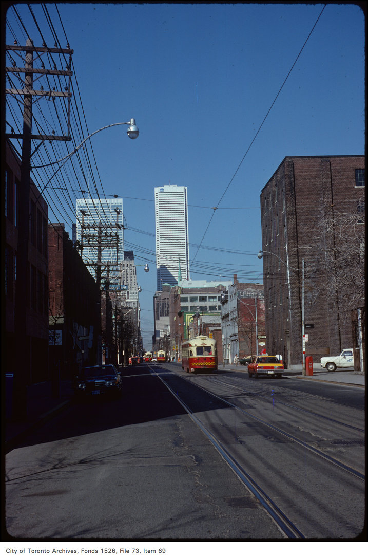
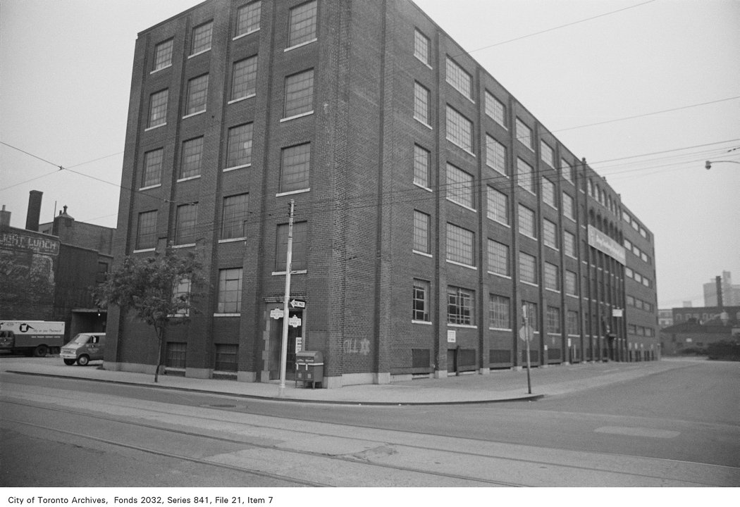


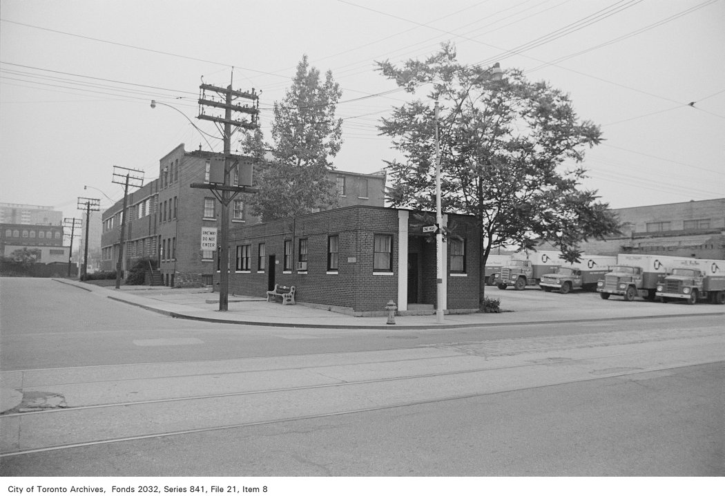
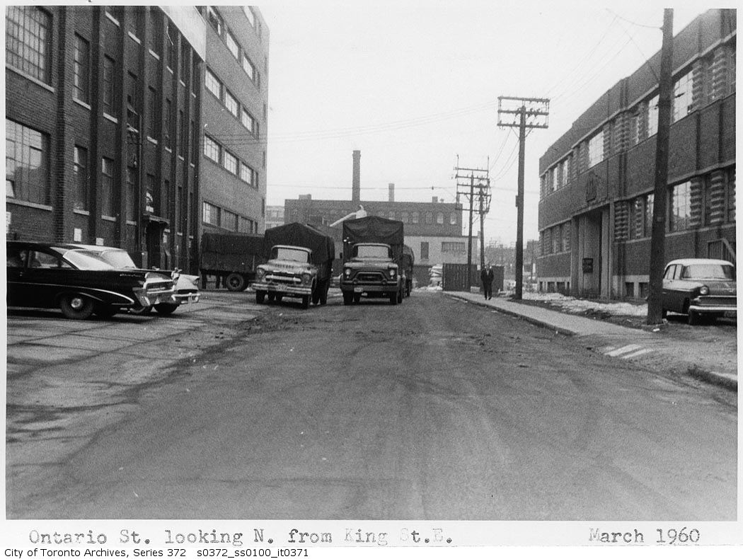
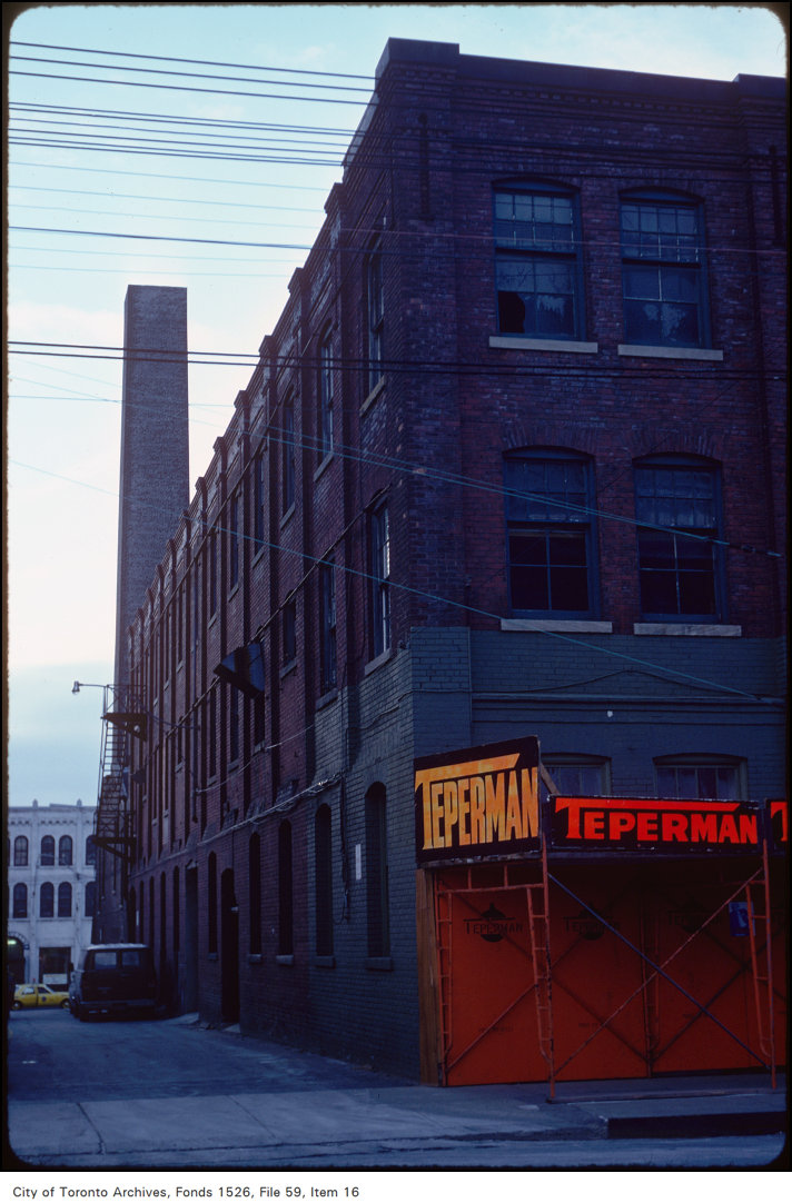
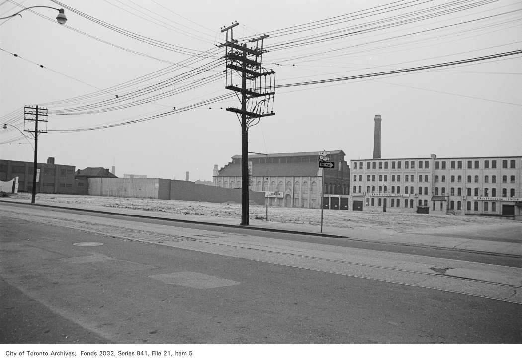
Photo locations are matched from each photo’s title against City street and address data, so some may be off. Report a wrong location