265 Main St
A registered apartment building built in 1970 with a RentSafe score of 95, outside TRCA flood and shoreline hazard areas, with 9 active development applications within 250 metres.
Data as of Nov 8, 2026 · Every item lists its source
- RentSafe evaluation score of 95 out of 100 (evaluated Aug 21, 2026).
- No fire code violations in open inspections.
- Outside TRCA flood and shoreline hazard areas.
- 9 active development applications and 2 Committee of Adjustment applications within 250 m.
01The building
Recent permits (2)
- Other(FS) · Revision Issued · Jun 29, 2026
REV01: Proposed revision change to the fire pump motor horsepowerProposal for a standpipe booster pump replacement · Permit 26 133078 FSU - Other(FS) · Permit Issued · Apr 28, 2026
Proposal for a standpipe booster pump replacement · Permit 26 133078 FSU
02Risks and the ground
TRCA mapping is for screening, not site-specific decisions. Lead results are voluntary samples from homes in the postal area, not this address.
03What’s changing nearby
- 12720 Danforth Ave · 137 m · Site Plan · Under ReviewProposed mass timber building with an 8-storey portion located at the rear of the site, adjacent the laneway, connected with a 4-storey portion on the Danforth Avenue frontage, and a 2-storey heritage commemoration building. The…File 26 127354 STE 19 SA · submitted Mar 10, 2026 · City record
- 22726 Danforth Ave · 156 m · Site Plan · Under ReviewProposed mass timber building with an 8-storey portion located at the rear of the site, adjacent the laneway, connected with a 4-storey portion on the Danforth Avenue frontage, and a 2-storey heritage commemoration building. The…File 26 127354 STE 19 SA · submitted Mar 10, 2026 · City record
- 32734 Danforth Ave · 164 m · Site Plan · Under ReviewProposed mass timber building with an 8-storey portion located at the rear of the site, adjacent the laneway, connected with a 4-storey portion on the Danforth Avenue frontage, and a 2-storey heritage commemoration building. The…File 26 127354 STE 19 SA · submitted Mar 10, 2026 · City record
- 42681 Danforth Ave · 172 m · Official Plan / Rezoning · OMB AppealRezoning and Official Plan Amendment applications for a 33 storey residential tower (Tower A) and a 48 storey residential tower (Tower B) connected by a 2-8 storey base which together contains 1,050 new residential dwelling units, a total…File 22 241654 STE 19 OZ · submitted Dec 21, 2022 · City record
- 52721 Danforth Ave · 181 m · Subdivision · Appeal ReceivedDraft Plan of Subdivision for 4 development blocks.File 21 235158 STE 19 SB · submitted Nov 7, 2021 · City record
- 62721 Danforth Ave · 181 m · Official Plan / Rezoning · Appeal ReceivedOfficial plan and Zoning By-law Amendment to facilitate the redevelopment of the site for two mixed-use towers having heights of 35 and 55-storeys. The proposed non-residential gross floor area is 390 square metres, and the proposed…File 21 235157 STE 19 OZ · submitted Nov 7, 2021 · City record
- 72575 Danforth Ave · 182 m · Official Plan / Rezoning · OMB AppealRezoning application to redevelop certain portions of this large 3.18-hectare property with five new buildings (Buildings E to I) ranging in height from 15 to 55-storeys and accommodating approximately 1,543 new residential units, with a…File 22 196279 STE 19 OZ · submitted Aug 26, 2022 · City record
- 830 Dawes Rd · 244 m · Site Plan · NOAC IssuedSite Plan Approval for two mixed-use towers having heights of 24 and 38-storeys, and having a residential gross floor area of 40,408 square metres, and a non-residential gross floor area of 2670 square metres. A total of 636 residential…File 21 196125 STE 19 SA · submitted Aug 10, 2021 · City record
- 930 Dawes Rd · 244 m · Condominium · Draft Plan ApprovedDraft Plan of Condominium for 373 residential units.File 26 254299 STE 19 CD · submitted Oct 14, 2026 · City record
- 106 Dawes Rd · 153 m · Committee of Adjustment · Minor variance · Approved with ConditionsTo alter the development standards, as approved under Site Specific Zoning By-law 1176-2022(OLT), which include changes to the overall height, parking standards, and to permit washrooms within the mechanical penthouse, for Phase 1 (West…File A0671/23TEY · submitted Jul 19, 2023
- 116 Dawes Rd · 153 m · Committee of Adjustment · Consent (severance) · Conditional ConsentTo obtain consent to create a new easement/right-of-way. The existing easements/rights-of-way will be maintained and unaltered.File B0034/26TEY · submitted Apr 20, 2026
Development Applications; Committee of Adjustment Applications · 1 registered short-term rentals within 250 m.
04City services
05Quick answers about 265 Main St
Is 265 Main St in a flood plain?
No. It is outside TRCA's mapped flood and shoreline hazard areas. Source: TRCA Regulation mapping 2025.
Does 265 Main St have open fire code violations?
No. The City's fire inspection records show no violations in open inspections. Source: Residential Fire Inspection Results.
What is being built near 265 Main St?
9 active development applications within 250 metres, the closest at 2720 Danforth Ave (137 m). Source: Development Applications.
When is garbage day at 265 Main St?
Collection calendar Friday 1. Next garbage pickup: Nov 20, 2026. Source: Solid Waste Collection Schedule.
Answers are generated from the data on this page and update when the data changes.
06From the archives
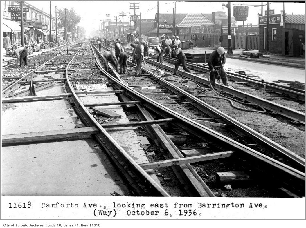

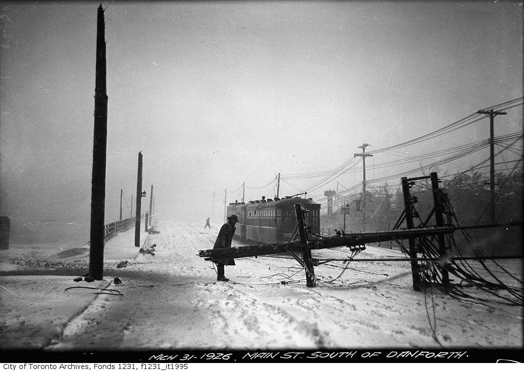
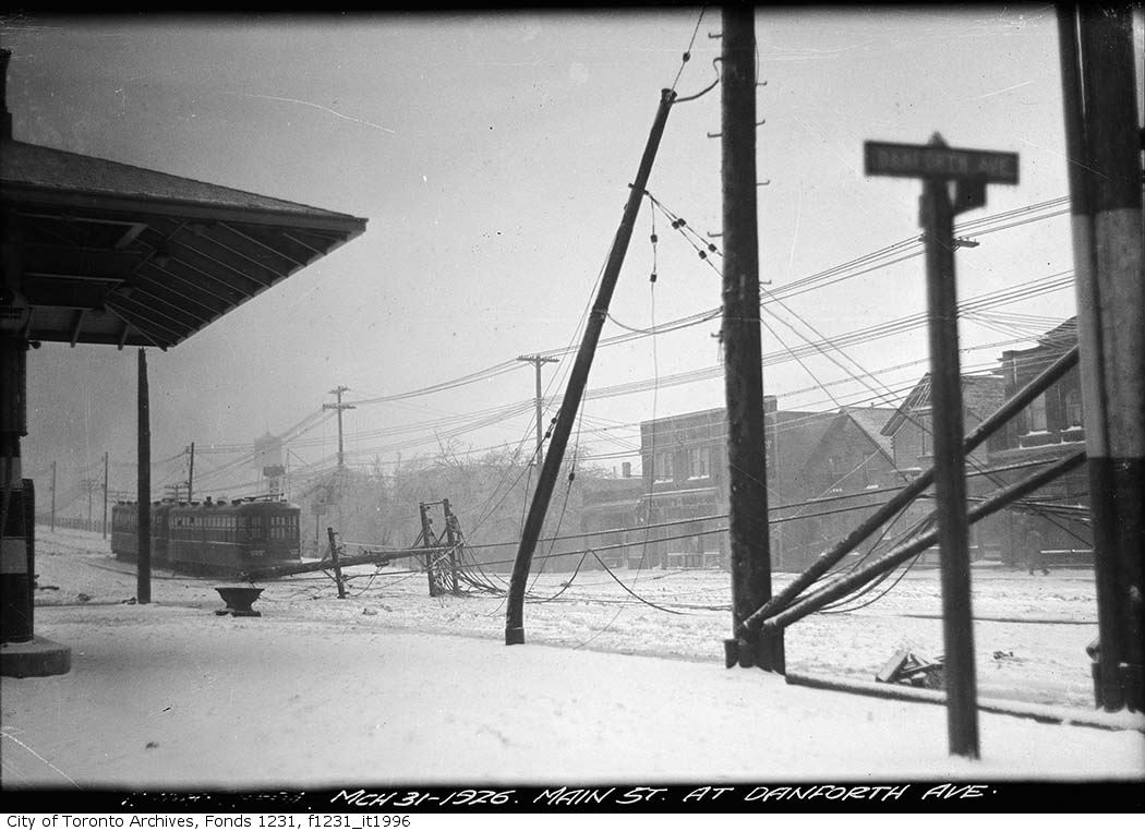


Photo locations are matched from each photo’s title against City street and address data, so some may be off. Report a wrong location