28 Bathurst St
An address in West Queen West, outside TRCA flood and shoreline hazard areas, with 15 active development applications within 250 metres.
Data as of Nov 8, 2026 · Every item lists its source
- Outside TRCA flood and shoreline hazard areas.
- 15 active development applications and 0 Committee of Adjustment applications within 250 m.
01The building
Recent permits (8)
- Other Temporary Tents · Permit Issued · Sep 4, 2026
Erect temporary 40 x 40 frame tent for private event on September 12, 2026, remove on September 13, 2026 on the Pickleball court, commonly known as the West Patio, at Stackt Market · Permit 26 232555 TPS - Temporary Structures · Permit Issued · Jun 8, 2026
Construction of new temporary deck for viewing televised games during the FIFA World Cup 2026. Construction of temporary interior walls.Activation is for 7 weeks, and dismantled after the World Cup… · Permit 26 165103 TPS - Temporary Structures · Permit Issued · Jun 2, 2026
Construct one temporary video wall on existing storefrontSetup: June 3, 2026; Tear down: July 23, 2026 · Permit 26 162817 TPS - Sign Building Permit Related · Closed · Nov 25, 2025
1 Wall Sign "FORT YORK RESIDENCE" · Permit 25 256801 DST - Interior Alterations · Permit Issued · Aug 22, 2025
Proposal for Interior renovation to an existing three storey building with some exterior site work. Interior: fixtures, finishes, and millwork replacement across all floors, renovated shared… · Permit 25 185924 BLD - Building Permit Related(MS) · Permit Issued · Aug 22, 2025
HVAC - Proposal for Interior renovation to an existing three storey building with some exterior site work. Interior: fixtures, finishes, and millwork replacement across all floors, renovated shared… · Permit 25 185924 HVA - Building Permit Related(PS) · Permit Issued · Aug 22, 2025
Plumbing - Proposal for Interior renovation to an existing three storey building with some exterior site work. Interior: fixtures, finishes, and millwork replacement across all floors, renovated… · Permit 25 185924 PLB - Temporary Structures · Closed · May 29, 2024
PROPOSAL TO ERECT THREE TEMPORARY STRUCTURES. SET UP DATE APR. 1 2024; TEAR DOWN DATE MAY 13 2024. · Permit 24 141720 TPS
02Risks and the ground
TRCA mapping is for screening, not site-specific decisions. Lead results are voluntary samples from homes in the postal area, not this address.
03What’s changing nearby
- 1663 King St W · 97 m · Site Plan · Under ReviewOntario Line King-BathurstFile 23 138247 STE 10 SA · submitted Apr 26, 2023 · City record
- 2675 King St W · 117 m · Site Plan · Under ReviewThe proposed development is for a 19-storey mixed-use building with a height of approximately 67.7 metres to the top of the roof (72.0 metres to the top of the mechanical penthouse) with approximately 13,035 square metres of total gross…File 22 204198 STE 10 SA · submitted Sep 15, 2022 · City record
- 3689 King St W · 139 m · Site Plan · Under ReviewTo construct 11 and 18 storey hotel with 272 suites and a restaurant at-grade. Related applications include zoning by-law amendment application 19 115906 STE 10 OZ.File 22 215279 STE 10 SA · submitted Oct 11, 2022 · City record
- 4689 King St W · 139 m · Official Plan / Rezoning · Under ReviewProposed 30-storey mixed-use development, comprised of hotel uses on the first 13-storeys, including a restaurant and 251 hotel suites, and residential uses above, between levels 14-30, including a total of 160 purpose-built rental units.File 26 247458 STE 10 OZ · submitted Oct 1, 2026 · City record
- 5668 King St W · 147 m · Site Plan · Under ReviewOntario Line King-BathurstFile 23 138247 STE 10 SA · submitted Apr 26, 2023 · City record
- 6662 King St W · 147 m · Site Plan · Under ReviewOntario Line King-BathurstFile 23 138247 STE 10 SA · submitted Apr 26, 2023 · City record
- 79 Niagara St · 200 m · Official Plan / Rezoning · OMB ApprovedResubmission of the Zoning By-law Amendment to permit the redevelopment of the site with a 18-storey mixed-use building (60 metres including mechanical penthouse) containing retail and office space on the ground floor, two levels of…File 21 232793 STE 10 OZ · submitted Nov 1, 2021 · City record
- 89 Niagara St · 200 m · Official Plan / Rezoning · OMB ApprovedOfficial Plan Amendment for a 23 storey mixed-use building, having a non-residential gross floor area of 2,640 square metres, and a residential gross floor area of 14,459.90 square metres. A total of 182 residential dwelling units are…File 22 151499 STE 10 OZ · submitted May 25, 2022 · City record
- 91 Niagara St · 215 m · Official Plan / Rezoning · OMB ApprovedResubmission of the Zoning By-law Amendment to permit the redevelopment of the site with a 18-storey mixed-use building (60 metres including mechanical penthouse) containing retail and office space on the ground floor, two levels of…File 21 232793 STE 10 OZ · submitted Nov 1, 2021 · City record
- 101 Niagara St · 215 m · Official Plan / Rezoning · OMB ApprovedOfficial Plan Amendment for a 23 storey mixed-use building, having a non-residential gross floor area of 2,640 square metres, and a residential gross floor area of 14,459.90 square metres. A total of 182 residential dwelling units are…File 22 151499 STE 10 OZ · submitted May 25, 2022 · City record
- 11150 Queens Wharf Rd · 216 m · Site Plan · Application ReceivedThe 2025 Proposal is a 37-storey tower with a total of 268 units and ~350m2 of ground floor non-residential GFA. Of the 268 units, over 50% of the units are larger two- and three-bedroom units and 30% of the total units are planned to be…File 26 126924 STE 10 SA · submitted Mar 9, 2026 · City record
- 1271 Portland St · 225 m · Site Plan · Under ReviewProposed 40-storey, 123 metre, mixed-use building containing 413 residential units.File 24 174546 WET 03 SA · submitted Jul 4, 2024 · City record
Development Applications; Committee of Adjustment Applications · 53 registered short-term rentals within 250 m.
04City services
05Quick answers about 28 Bathurst St
Is 28 Bathurst St in a flood plain?
No. It is outside TRCA's mapped flood and shoreline hazard areas. Source: TRCA Regulation mapping 2025.
What is being built near 28 Bathurst St?
15 active development applications within 250 metres, the closest at 663 King St W (97 m). Source: Development Applications.
When is garbage day at 28 Bathurst St?
Collection calendar Tuesday 2. Next garbage pickup: Nov 10, 2026. Source: Solid Waste Collection Schedule.
Answers are generated from the data on this page and update when the data changes.
06From the archives
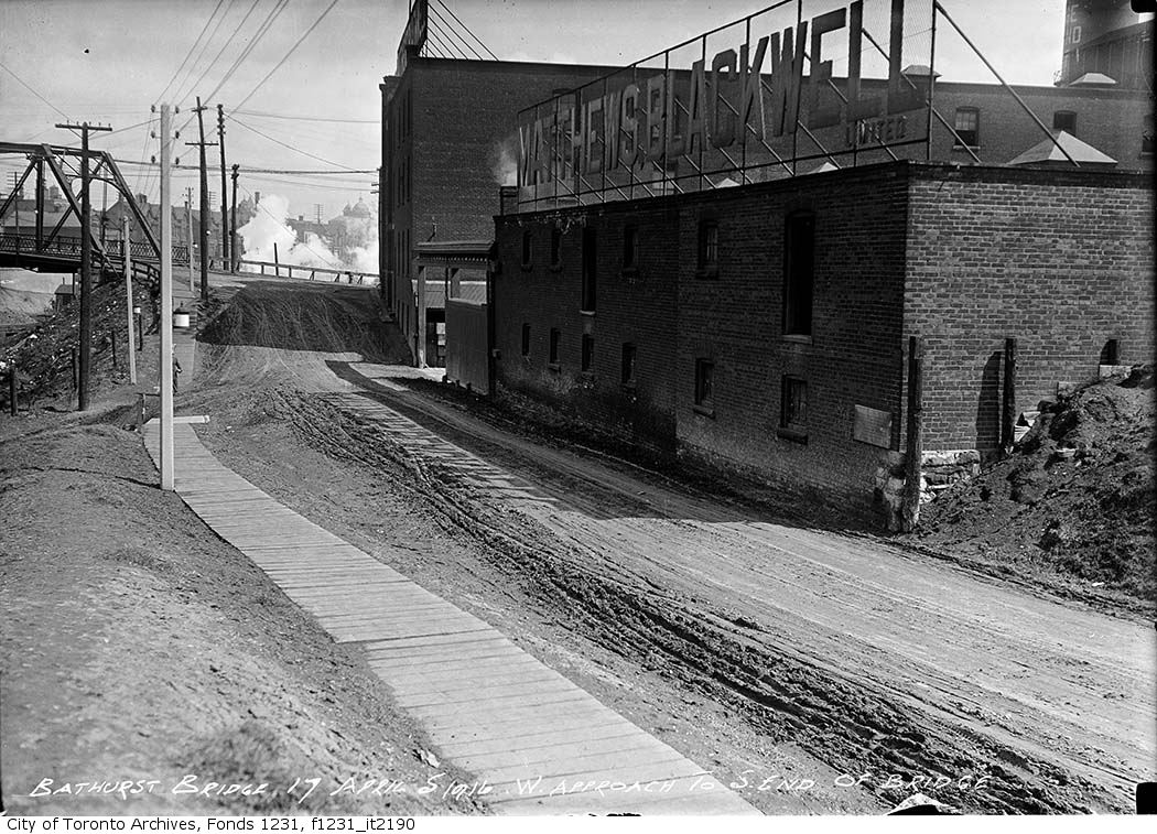
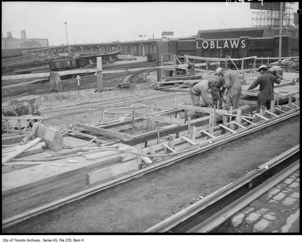
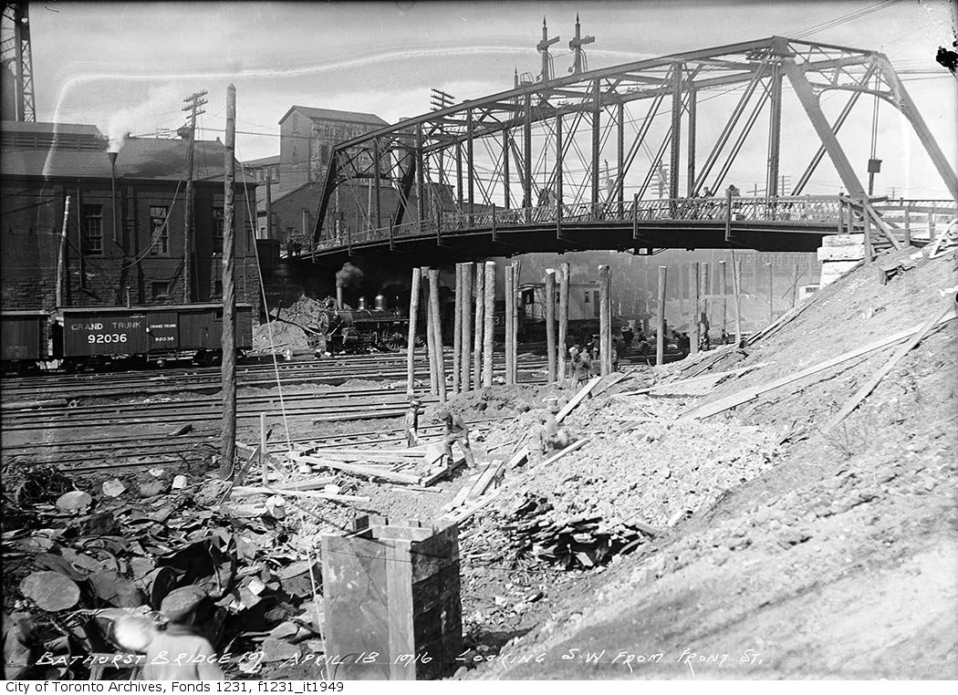
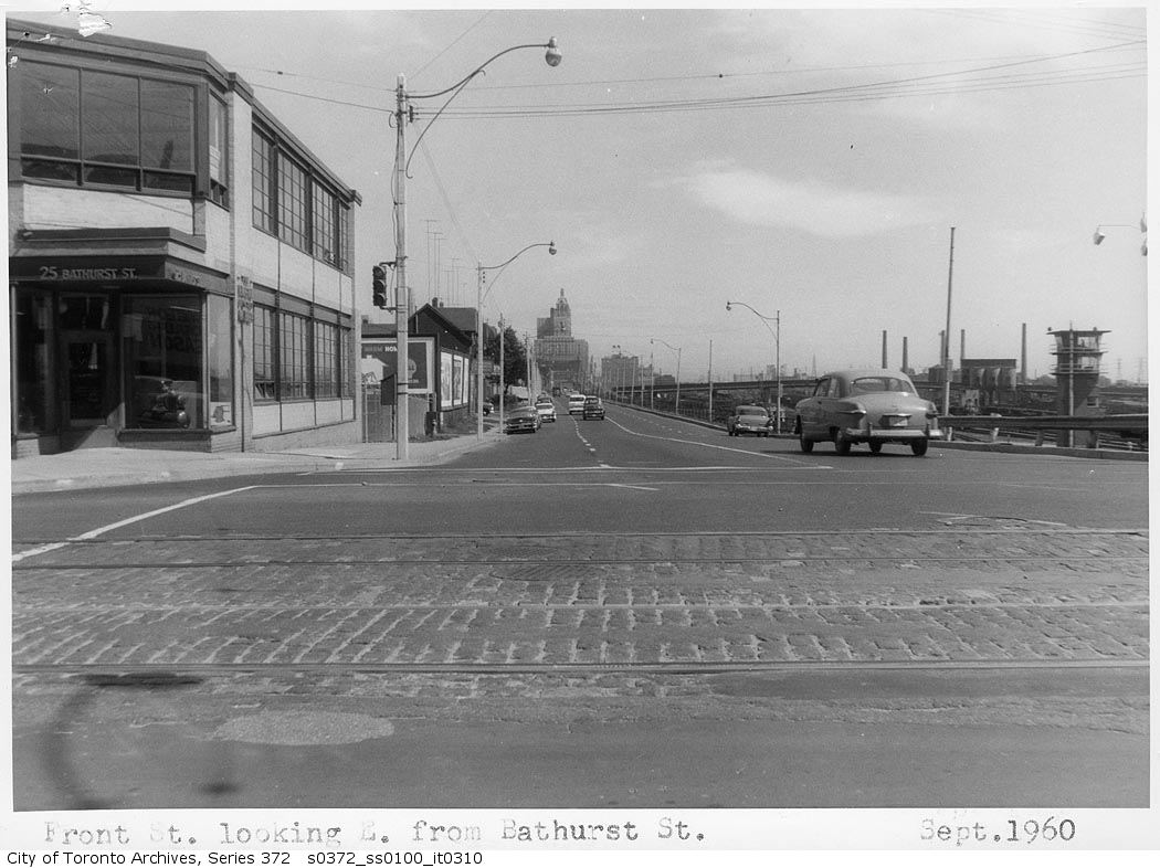
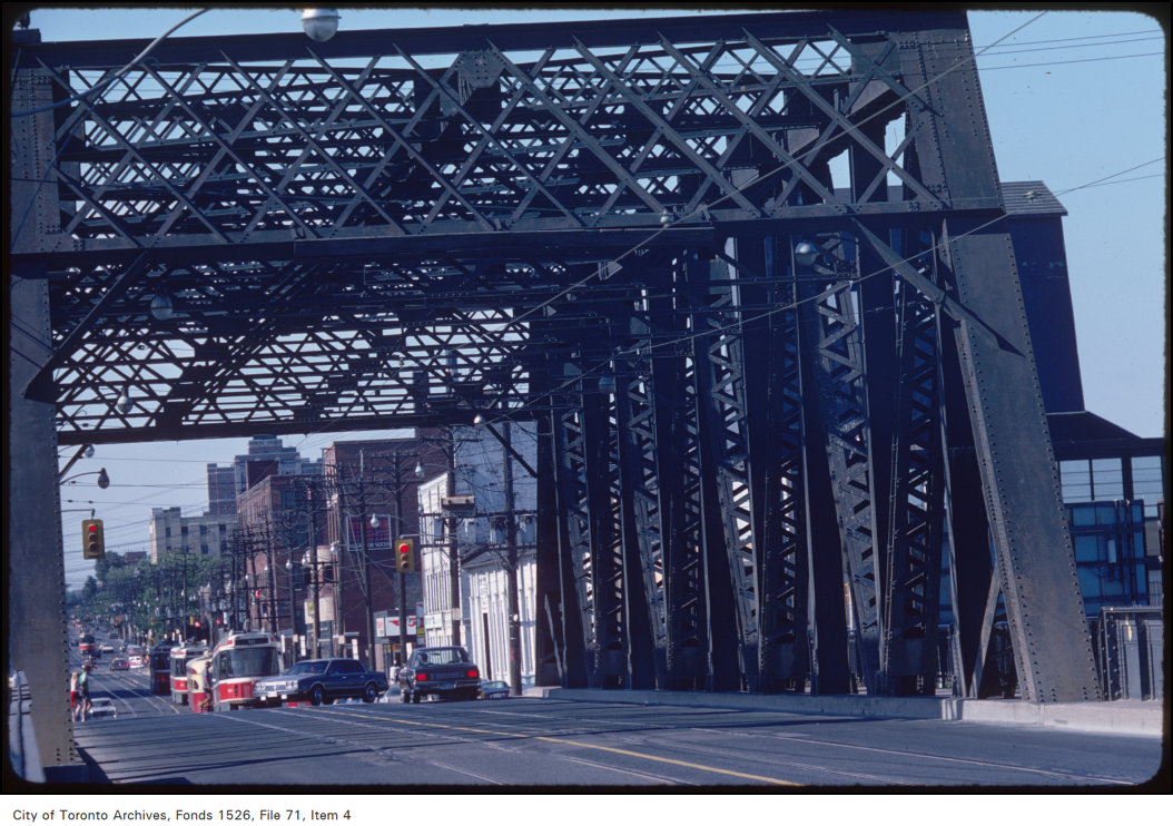
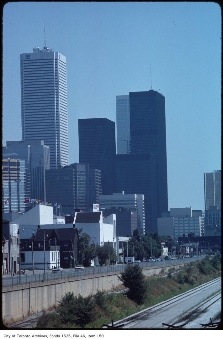
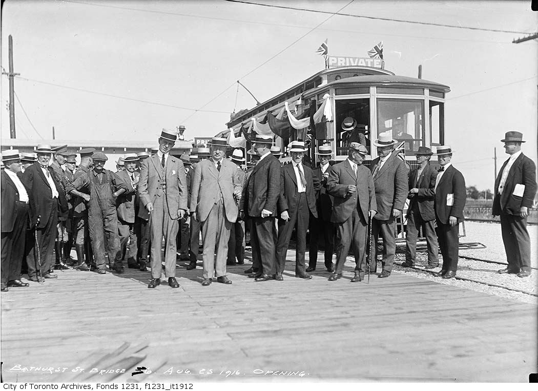
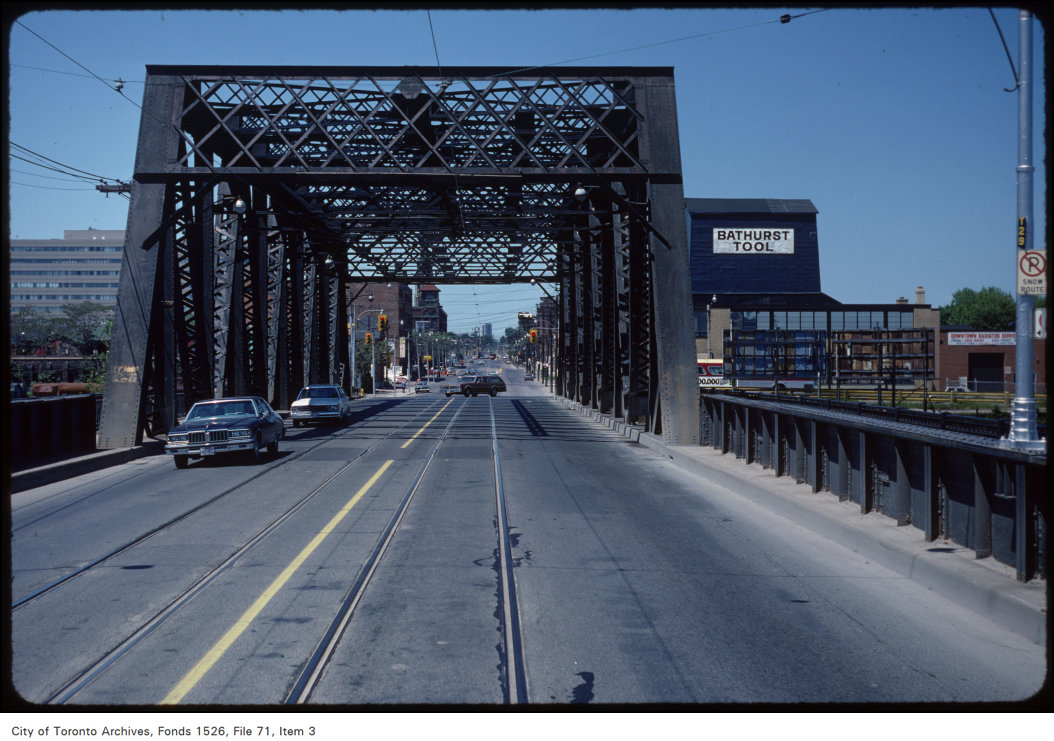
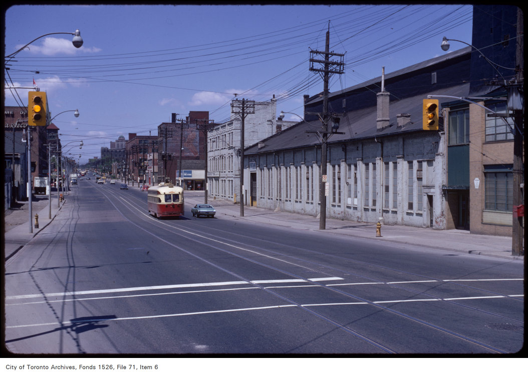
Photo locations are matched from each photo’s title against City street and address data, so some may be off. Report a wrong location