29 Mann Ave
An address in Mount Pleasant East, outside TRCA flood and shoreline hazard areas, with 15 active development applications within 250 metres.
Data as of Nov 7, 2026 · Every item lists its source
- Outside TRCA flood and shoreline hazard areas.
- 15 active development applications and 2 Committee of Adjustment applications within 250 m.
01The building
02Risks and the ground
TRCA mapping is for screening, not site-specific decisions. Lead results are voluntary samples from homes in the postal area, not this address.
03What’s changing nearby
- 11787 Bayview Ave · 81 m · Site Plan · Under ReviewProposal for 35-storey mixed use building containing a total of 373 dwelling units and 541 square metres of retail space. The development would have a total gross floor area (GFA) of 27,846 square metres, resulting in a density of 8.83 FSI.File 22 221902 NNY 15 SA · submitted Oct 25, 2022 · City record
- 21787 Bayview Ave · 81 m · Official Plan / Rezoning · OMB AppealOfficial Plan and Zoning By-law Amendment for a 35-storey mixed use building containing a total of 373 dwelling units and 541 square metres of retail space. The development would have a total gross floor area (GFA) of 27,846 square…File 22 221903 NNY 15 OZ · submitted Oct 25, 2022 · City record
- 3593 Eglinton Ave E · 94 m · Official Plan / Rezoning · OMB ApprovedProposal for a 40 storeys mixed-use building, including residential and commercial components. The building will contain a total of 465residential units and 564 m2 of retail space fronting Eglinton Avenue East. The residential GFA is…File 22 225964 NNY 15 OZ · submitted Nov 4, 2022 · City record
- 4660 Eglinton Ave E · 98 m · Site Plan · NOAC IssuedIn December 2014, RioCan made application for a Zoning By-law Amendment (file no. 14-267342 NNY 26 OZ) to permit a mix use development at the Property that was primarily mid-rise in scale, with two taller elements of 19 and 13 storeys…File 19 143856 NNY 15 SA · submitted Apr 24, 2019 · City record
- 5660 Eglinton Ave E · 98 m · Site Plan · Under ReviewSite Plan Control Application proposes the development of a 44-storey mixed-use building providing residential and commercial use at grade. The building will provide a total of 465 residential units, being a mix of studio, 1-bedroom,…File 25 266344 NNY 15 SA · submitted Dec 15, 2025 · City record
- 6660 Eglinton Ave E · 98 m · Official Plan / Rezoning · Under ReviewRezoning Application to permit a transit supportive mixed-use development featuring three towers of 32, 37 and 43 storeys, A total of 1,201 dwelling units and 419 parking spaces. Provision of both purpose-built rental and condominium…File 24 252497 NNY 15 OZ · submitted Dec 20, 2024 · City record
- 71802 Bayview Ave · 101 m · Official Plan / Rezoning · OMB AppealProposal for a 46-storey (156 metres to top of mechanical) mixed use building. The building will have approximately 384 square metres of retail uses at grade along Bayview Avenue. In total, 419 residential units are proposed for a GFA of…File 23 163199 NNY 15 OZ · submitted Jun 19, 2023 · City record
- 81802 Bayview Ave · 101 m · Site Plan · Under ReviewFile 23 163207 NNY 15 SA · submitted Jun 19, 2023 · City record
- 91802 Bayview Ave · 101 m · Official Plan / Rezoning · OMB ApprovedThe purpose of this OPA application is to redesignate the site in the Yonge-Eglinton Secondary Plan¿s (YESP) Map 23-3: Midtown Transit Station Areas from Secondary Zone to Station Area Core. In total, 419 residential units are proposed…File 24 120678 NNY 15 OZ · submitted Feb 29, 2024 · City record
- 10591 Eglinton Ave E · 103 m · Official Plan / Rezoning · OMB ApprovedProposal for a 40 storeys mixed-use building, including residential and commercial components. The building will contain a total of 465residential units and 564 m2 of retail space fronting Eglinton Avenue East. The residential GFA is…File 22 225964 NNY 15 OZ · submitted Nov 4, 2022 · City record
- 11589 Eglinton Ave E · 106 m · Official Plan / Rezoning · OMB ApprovedProposal for a 40 storeys mixed-use building, including residential and commercial components. The building will contain a total of 465residential units and 564 m2 of retail space fronting Eglinton Avenue East. The residential GFA is…File 22 225964 NNY 15 OZ · submitted Nov 4, 2022 · City record
- 12589 Eglinton Ave E · 106 m · Site Plan · NOAC IssuedProposal for a 35 storeys mixed-use building, including residential and commercial components. The building will contain a total of 389 residential units and 660 m2 of retail space fronting Eglinton Avenue East. The residential GFA is…File 22 225962 NNY 15 SA · submitted Nov 4, 2022 · City record
Development Applications; Committee of Adjustment Applications · 3 registered short-term rentals within 250 m.
04City services
05Quick answers about 29 Mann Ave
Is 29 Mann Ave in a flood plain?
No. It is outside TRCA's mapped flood and shoreline hazard areas. Source: TRCA Regulation mapping 2025.
What is being built near 29 Mann Ave?
15 active development applications within 250 metres, the closest at 1787 Bayview Ave (81 m). Source: Development Applications.
When is garbage day at 29 Mann Ave?
Collection calendar Thursday 2. Next garbage pickup: Nov 12, 2026. Source: Solid Waste Collection Schedule.
Answers are generated from the data on this page and update when the data changes.
06From the archives


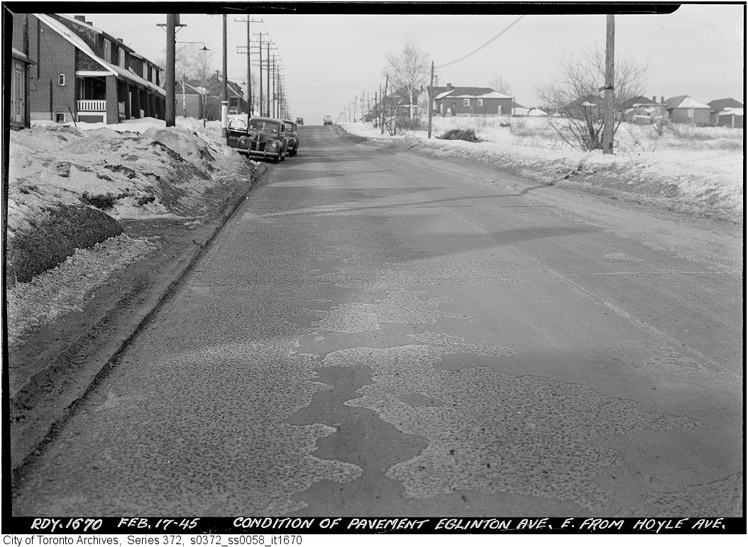
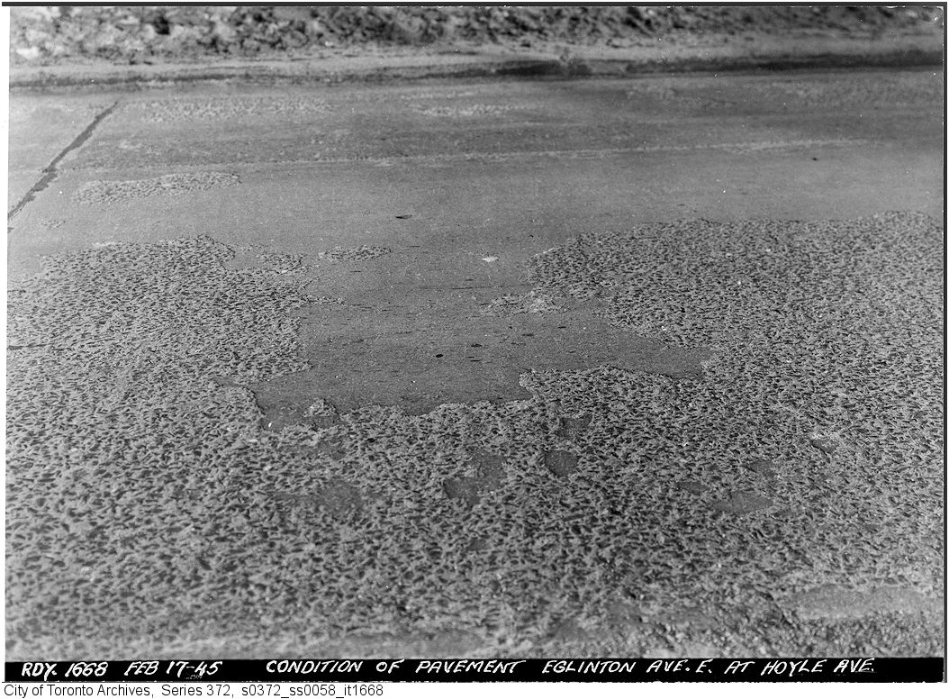
Photo locations are matched from each photo’s title against City street and address data, so some may be off. Report a wrong location