33 Boler St
An address in Junction Area, outside TRCA flood and shoreline hazard areas, with 9 active development applications within 250 metres.
Data as of Nov 7, 2026 · Every item lists its source
- Outside TRCA flood and shoreline hazard areas.
- 9 active development applications and 2 Committee of Adjustment applications within 250 m.
01The building
Recent permits (1)
- Carport · Closed · Aug 11, 2017
Proposed detached carport in rear yard of existing detached single family dwelling. · Permit 17 130789 BLD
02Risks and the ground
TRCA mapping is for screening, not site-specific decisions. Lead results are voluntary samples from homes in the postal area, not this address.
03What’s changing nearby
- 187 Ethel Ave · 122 m · Site Plan · Under ReviewProposed redevelopment of the site will be comprised of (i) buildings A and B; and (ii) buildings C and D which will consist of 7,238.8 sq.m/77,919 sq.ft of non-residential uses or 7.14% of the total GFA will provide for offices, retail,…File 25 186132 WET 05 SA · submitted Jun 30, 2025 · City record
- 2116 R Ryding Ave · 129 m · Official Plan / Rezoning · OMB AppealProposed applications to permit a mixed-use development on the subject site consisting of two buildings comprised of three towers of 20, 34 and 26 storeys. The proposed development also includes a new park, equivalent to 10% of the site…File 26 124085 WET 05 OZ · submitted Mar 3, 2026 · City record
- 3116 Ryding Ave · 154 m · Official Plan / Rezoning · OMB AppealProposed applications to permit a mixed-use development on the subject site consisting of two buildings comprised of three towers of 20, 34 and 26 storeys. The proposed development also includes a new park, equivalent to 10% of the site…File 26 124085 WET 05 OZ · submitted Mar 3, 2026 · City record
- 4126 Ryding Ave · 159 m · Official Plan / Rezoning · OMB AppealProposed applications to permit a mixed-use development on the subject site consisting of two buildings comprised of three towers of 20, 34 and 26 storeys. The proposed development also includes a new park, equivalent to 10% of the site…File 26 124085 WET 05 OZ · submitted Mar 3, 2026 · City record
- 5132 Ryding Ave · 178 m · Official Plan / Rezoning · OMB AppealProposed applications to permit a mixed-use development on the subject site consisting of two buildings comprised of three towers of 20, 34 and 26 storeys. The proposed development also includes a new park, equivalent to 10% of the site…File 26 124085 WET 05 OZ · submitted Mar 3, 2026 · City record
- 6140 Ryding Ave · 187 m · Official Plan / Rezoning · OMB AppealProposed applications to permit a mixed-use development on the subject site consisting of two buildings comprised of three towers of 20, 34 and 26 storeys. The proposed development also includes a new park, equivalent to 10% of the site…File 26 124085 WET 05 OZ · submitted Mar 3, 2026 · City record
- 72231 St Clair Ave W · 191 m · Site Plan · Under ReviewThe proposal is for an 11-storey mixed-use building (35.85 metres in height, excluding the mechanical penthouse) with retail at grade and residential units above. The development includes an underground parking structure. The total…File 22 138479 WET 05 SA · submitted Apr 26, 2022 · City record
- 8142 Ryding Ave · 217 m · Official Plan / Rezoning · OMB AppealProposed applications to permit a mixed-use development on the subject site consisting of two buildings comprised of three towers of 20, 34 and 26 storeys. The proposed development also includes a new park, equivalent to 10% of the site…File 26 124085 WET 05 OZ · submitted Mar 3, 2026 · City record
- 92255 St Clair Ave W · 224 m · Site Plan · Under ReviewThe proposal is for an 11-storey mixed-use building (35.85 metres in height, excluding the mechanical penthouse) with retail at grade and residential units above. The development includes an underground parking structure. The total…File 22 138578 WET 05 SA · submitted Apr 26, 2022 · City record
- 106 Shipman St · 108 m · Committee of Adjustment · Minor variance · ApprovedTo construct a new two-storey detached duplex dwelling (with two affordable rental units).File A0749/23TEY · submitted Aug 10, 2023
- 1190 Laws St · 241 m · Committee of Adjustment · Minor variance · DeferredTo alter the existing two-and-one-half-storey detached dwelling by constructing a front driveway.File A0856/22TEY · submitted Jul 28, 2022
Development Applications; Committee of Adjustment Applications · 7 registered short-term rentals within 250 m.
04City services
05Quick answers about 33 Boler St
Is 33 Boler St in a flood plain?
No. It is outside TRCA's mapped flood and shoreline hazard areas. Source: TRCA Regulation mapping 2025.
What is being built near 33 Boler St?
9 active development applications within 250 metres, the closest at 87 Ethel Ave (122 m). Source: Development Applications.
When is garbage day at 33 Boler St?
Collection calendar Friday 1. Next garbage pickup: Nov 20, 2026. Source: Solid Waste Collection Schedule.
Answers are generated from the data on this page and update when the data changes.
06From the archives

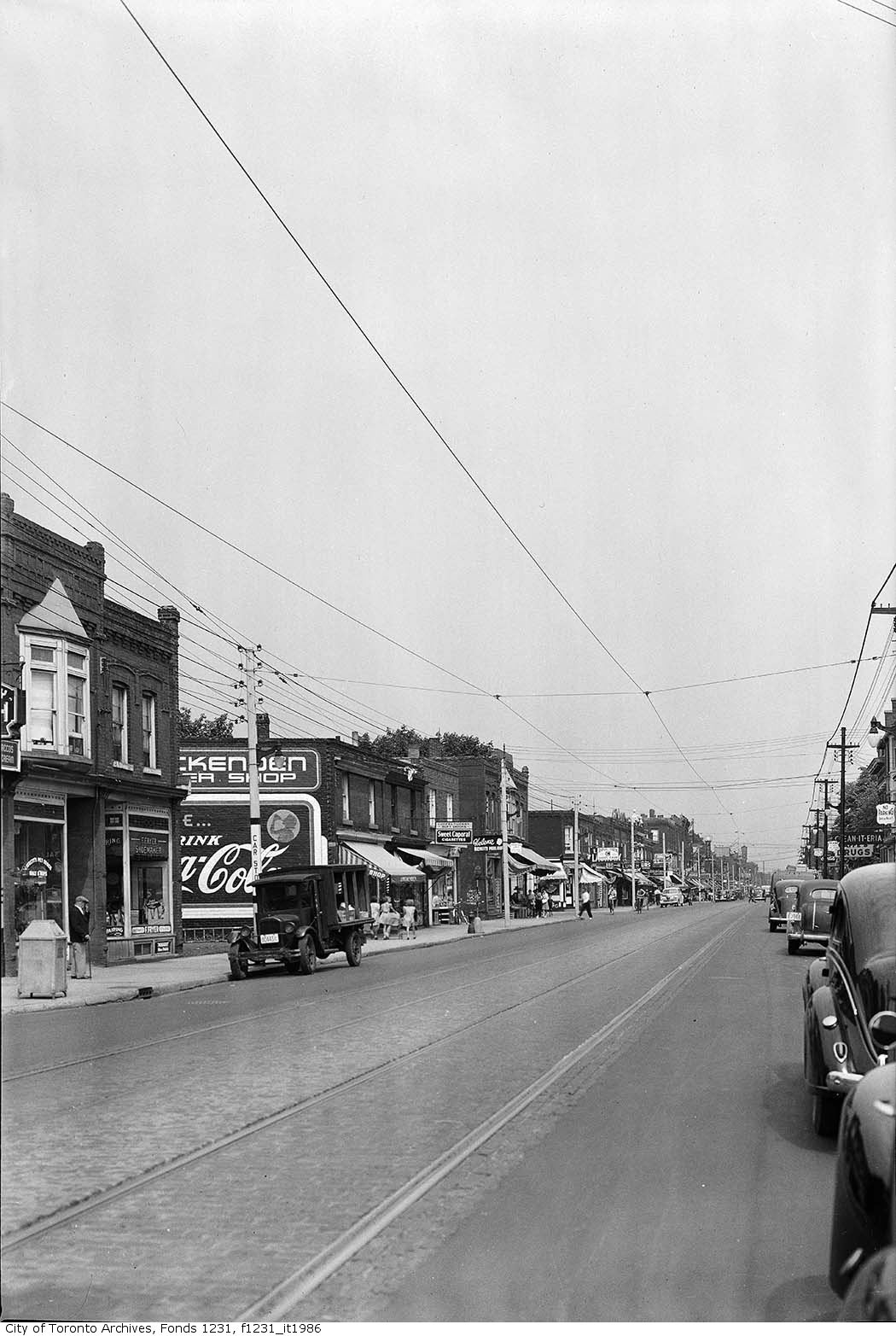
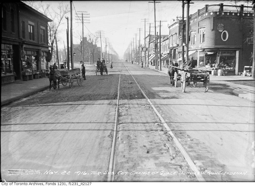
Photo locations are matched from each photo’s title against City street and address data, so some may be off. Report a wrong location