33 Sumach St
An address in Moss Park, outside TRCA flood and shoreline hazard areas, with 11 active development applications within 250 metres.
Data as of Nov 8, 2026 · Every item lists its source
- Outside TRCA flood and shoreline hazard areas.
- 11 active development applications and 5 Committee of Adjustment applications within 250 m.
01The building
Recent permits (1)
- Demolition · Closed · Sep 19, 2008
Demo existing 2 storey SFD-Brick. · Permit 08 155929 DEM
02Risks and the ground
TRCA mapping is for screening, not site-specific decisions. Lead results are voluntary samples from homes in the postal area, not this address.
03What’s changing nearby
- 1479 Queen St E · 123 m · Condominium · Under Review*** 143 dwelling units, 33 parking spaces*There is a concurrent Zoning By-law Amendment application which is currently under review/appealFile 21 235372 STE 13 CD · submitted Nov 8, 2021 · City record
- 2479 Queen St E · 123 m · Official Plan / Rezoning · OMB ApprovedThe City has received an application to amend the Zoning By-law to allow a 15-storey (51.1 metres plus a 3.7-metre mechanical penthouse) mixed-use building with retail at-grade, 143 dwelling units, 33 vehicle parking spaces in a below…File 20 220233 STE 13 OZ · submitted Nov 19, 2020 · City record
- 3477 Queen St E · 126 m · Condominium · Under Review*** 143 dwelling units, 33 parking spaces*There is a concurrent Zoning By-law Amendment application which is currently under review/appealFile 21 235372 STE 13 CD · submitted Nov 8, 2021 · City record
- 4477 Queen St E · 126 m · Official Plan / Rezoning · OMB ApprovedThe City has received an application to amend the Zoning By-law to allow a 15-storey (51.1 metres plus a 3.7-metre mechanical penthouse) mixed-use building with retail at-grade, 143 dwelling units, 33 vehicle parking spaces in a below…File 20 220233 STE 13 OZ · submitted Nov 19, 2020 · City record
- 5477 Queen St E · 126 m · Site Plan · OMB AppealThe proposed development will be 15 storeys in height, plus mezzanine and mechanical penthouse along Queen Street East. Parking elevator access to four levels of below grade parking is proposedfrom the private east-west lane.…File 23 186758 STE 13 SA · submitted Aug 10, 2023 · City record
- 6475 Queen St E · 132 m · Official Plan / Rezoning · OMB ApprovedThe City has received an application to amend the Zoning By-law to allow a 15-storey (51.1 metres plus a 3.7-metre mechanical penthouse) mixed-use building with retail at-grade, 143 dwelling units, 33 vehicle parking spaces in a below…File 20 220233 STE 13 OZ · submitted Nov 19, 2020 · City record
- 7475 Queen St E · 132 m · Condominium · Under Review*** 143 dwelling units, 33 parking spaces*There is a concurrent Zoning By-law Amendment application which is currently under review/appealFile 21 235372 STE 13 CD · submitted Nov 8, 2021 · City record
- 8473 Queen St E · 137 m · Condominium · Under Review*** 143 dwelling units, 33 parking spaces*There is a concurrent Zoning By-law Amendment application which is currently under review/appealFile 21 235372 STE 13 CD · submitted Nov 8, 2021 · City record
- 9473 Queen St E · 137 m · Official Plan / Rezoning · OMB ApprovedThe City has received an application to amend the Zoning By-law to allow a 15-storey (51.1 metres plus a 3.7-metre mechanical penthouse) mixed-use building with retail at-grade, 143 dwelling units, 33 vehicle parking spaces in a below…File 20 220233 STE 13 OZ · submitted Nov 19, 2020 · City record
- 10471 Queen St E · 142 m · Official Plan / Rezoning · OMB ApprovedThe City has received an application to amend the Zoning By-law to allow a 15-storey (51.1 metres plus a 3.7-metre mechanical penthouse) mixed-use building with retail at-grade, 143 dwelling units, 33 vehicle parking spaces in a below…File 20 220233 STE 13 OZ · submitted Nov 19, 2020 · City record
- 11471 Queen St E · 142 m · Condominium · Under Review*** 143 dwelling units, 33 parking spaces*There is a concurrent Zoning By-law Amendment application which is currently under review/appealFile 21 235372 STE 13 CD · submitted Nov 8, 2021 · City record
- 121 Ashby Pl · 103 m · Committee of Adjustment · Minor variance · Approved with ConditionsTo alter the existing two-storey rowhouse by reconstructing new rear decks on the first and second storeys. The second storey deck will be constructed with a canopy.File A0779/23TEY · submitted Aug 30, 2023
Development Applications; Committee of Adjustment Applications · 19 registered short-term rentals within 250 m.
04City services
05Quick answers about 33 Sumach St
Is 33 Sumach St in a flood plain?
No. It is outside TRCA's mapped flood and shoreline hazard areas. Source: TRCA Regulation mapping 2025.
What is being built near 33 Sumach St?
11 active development applications within 250 metres, the closest at 479 Queen St E (123 m). Source: Development Applications.
When is garbage day at 33 Sumach St?
Collection calendar Wednesday 1. Next garbage pickup: Nov 18, 2026. Source: Solid Waste Collection Schedule.
Answers are generated from the data on this page and update when the data changes.
06From the archives
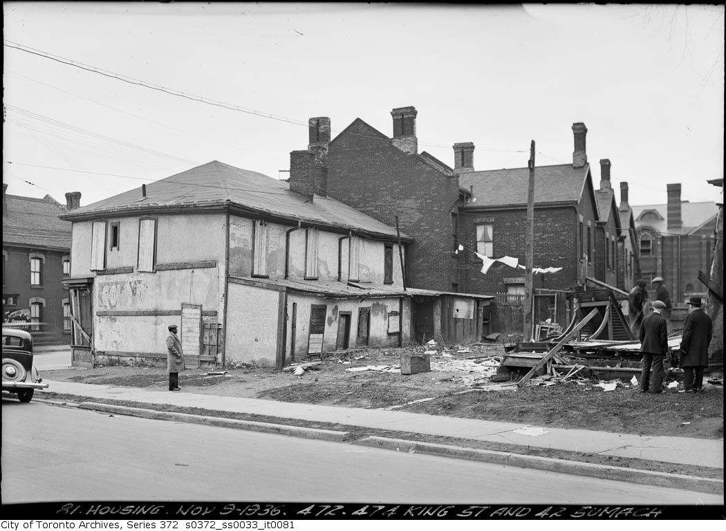
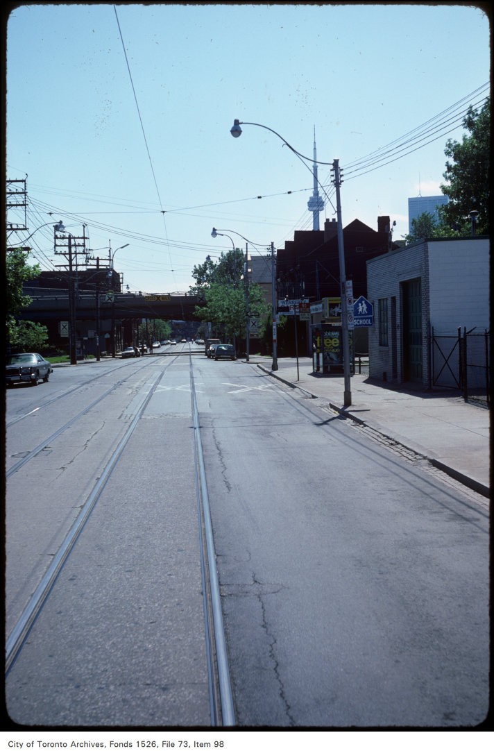
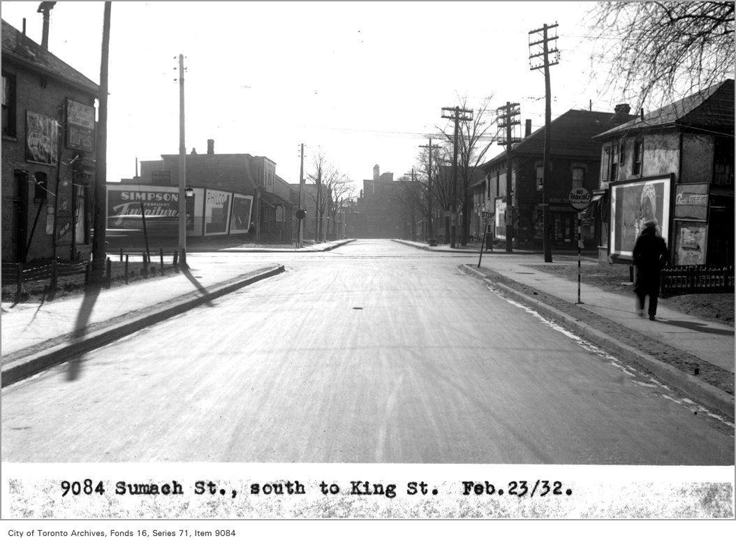
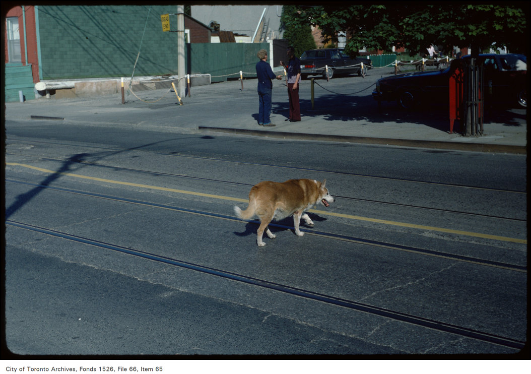
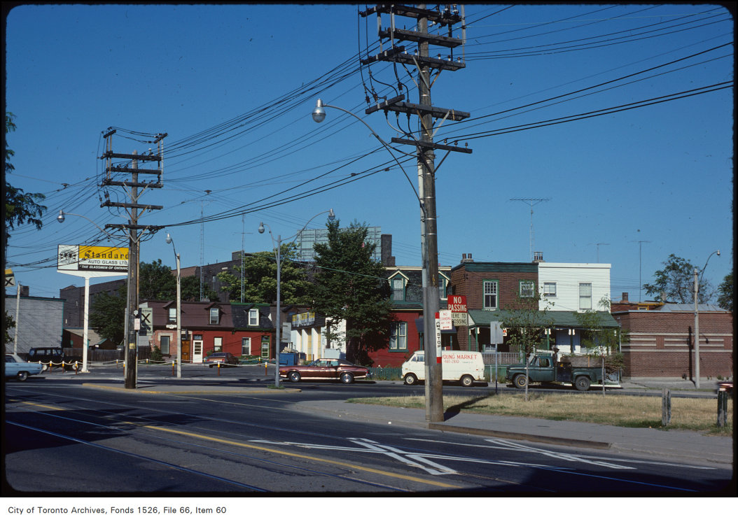
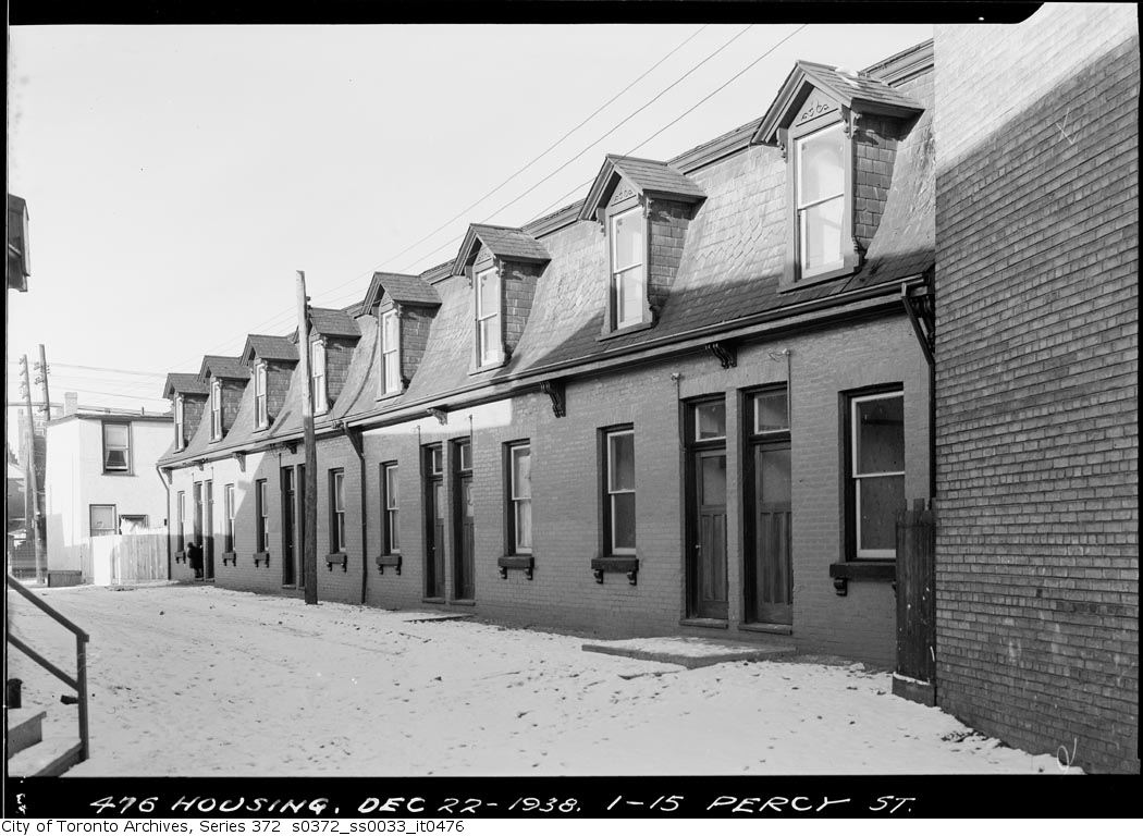
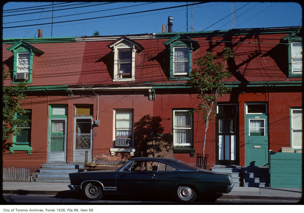
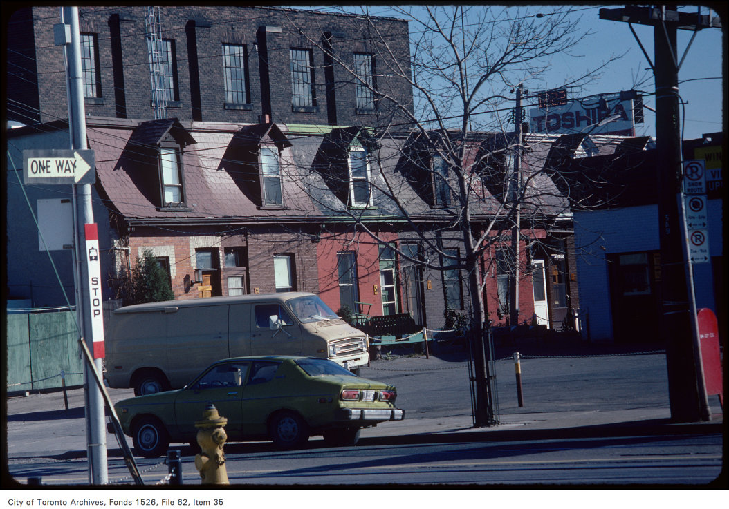
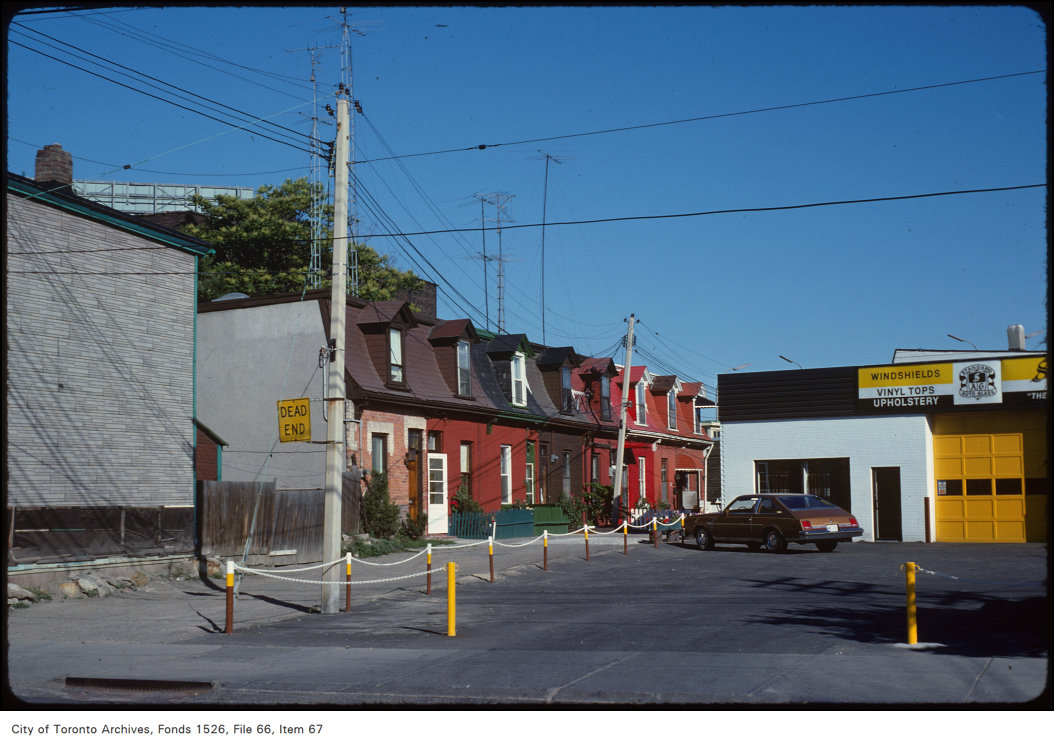
Photo locations are matched from each photo’s title against City street and address data, so some may be off. Report a wrong location