Basement flooding study areaBFA46Your areaBasement Flooding Study Areas · the City divides all of Toronto into study areas; this names yours, not a risk level
Lead in tap water samples, postal area M4J22 of 744 above 0.01 ppmYour area · M4JNon Regulated Lead Sample · Jan 7, 2014 to Oct 20, 2026
TRCA mapping is for screening, not site-specific decisions. Lead results are voluntary samples from homes in the postal area, not this address.
03What’s changing nearby
1
92 Marlow Ave· 110 m · Committee of Adjustment · Minor variance · Approved
To alter the existing two-storey detached dwelling by constructing a rear second storey addition.
File A0691/20TEY · submitted Aug 10, 2020
2
29 Memorial Park Ave· 184 m · Committee of Adjustment · Minor variance · Approved
To alter the existing two-storey detached dwelling by constructing a rear two-storey addition and a ground floor deck. Also, to permit an existing undersized vehicular parking space width and an increased building height which was…
File A0823/23TEY · submitted Sep 19, 2023
3
85 Kings Park Blvd· 238 m · Committee of Adjustment · Minor variance · PostponedFile A0761/26TEY · submitted Oct 30, 2026
Development Applications; Committee of Adjustment Applications · 5 registered short-term rentals within 250 m.
No. It is outside TRCA's mapped flood and shoreline hazard areas. Source: TRCA Regulation mapping 2025.
What is being built near 336 Mortimer Ave?
0 active development applications within 250 metres. Source: Development Applications.
When is garbage day at 336 Mortimer Ave?
Collection calendar Friday 1. Next garbage pickup: Nov 20, 2026. Source: Solid Waste Collection Schedule.
Answers are generated from the data on this page and update when the data changes.
06From the archives
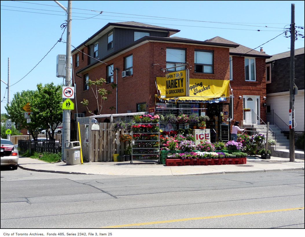
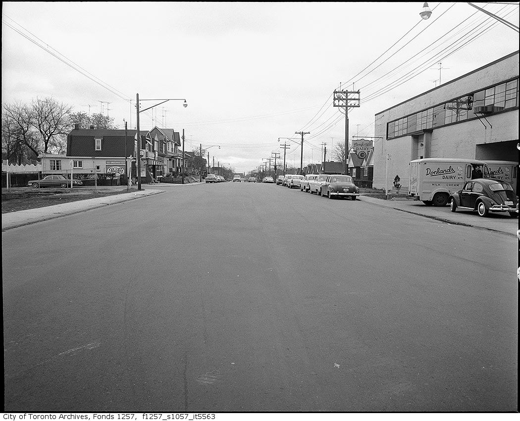
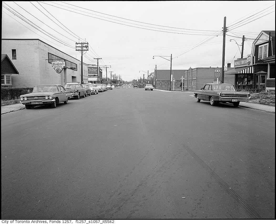
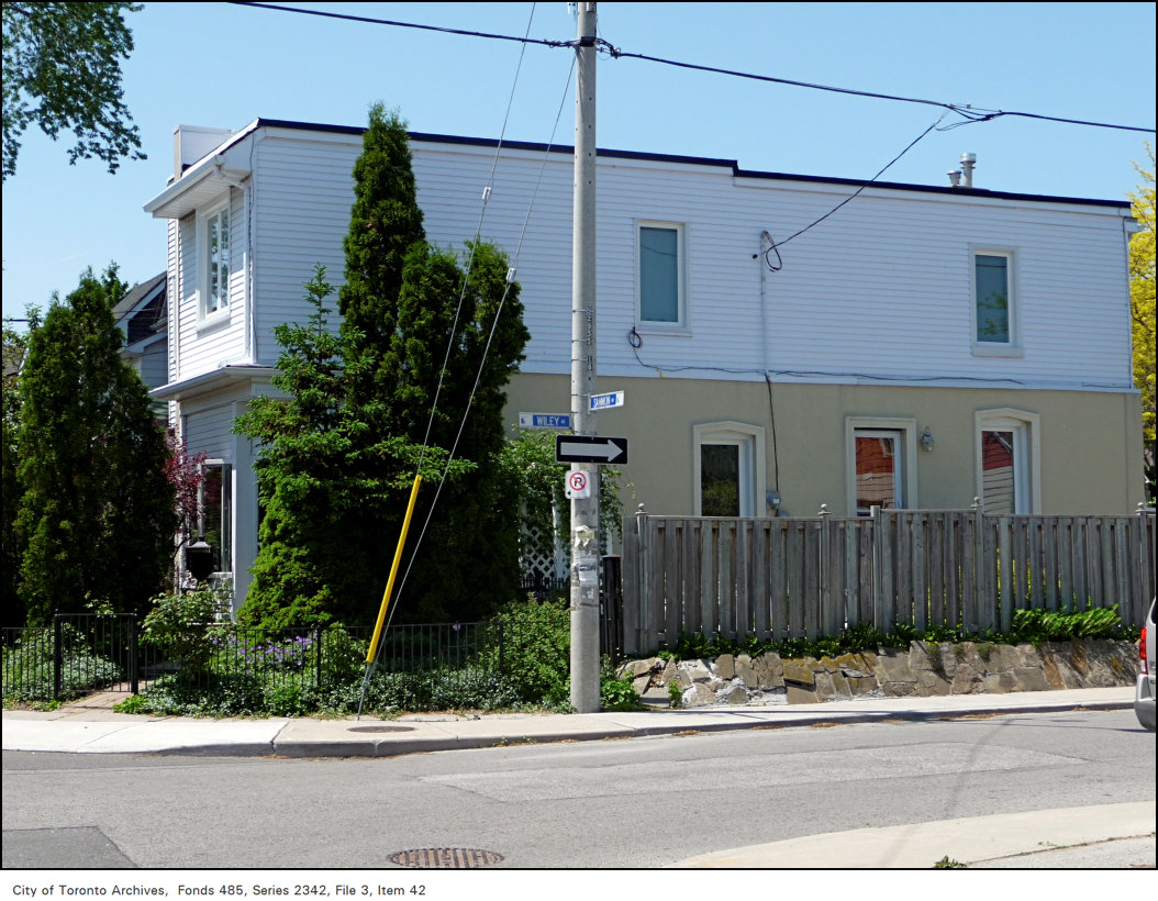
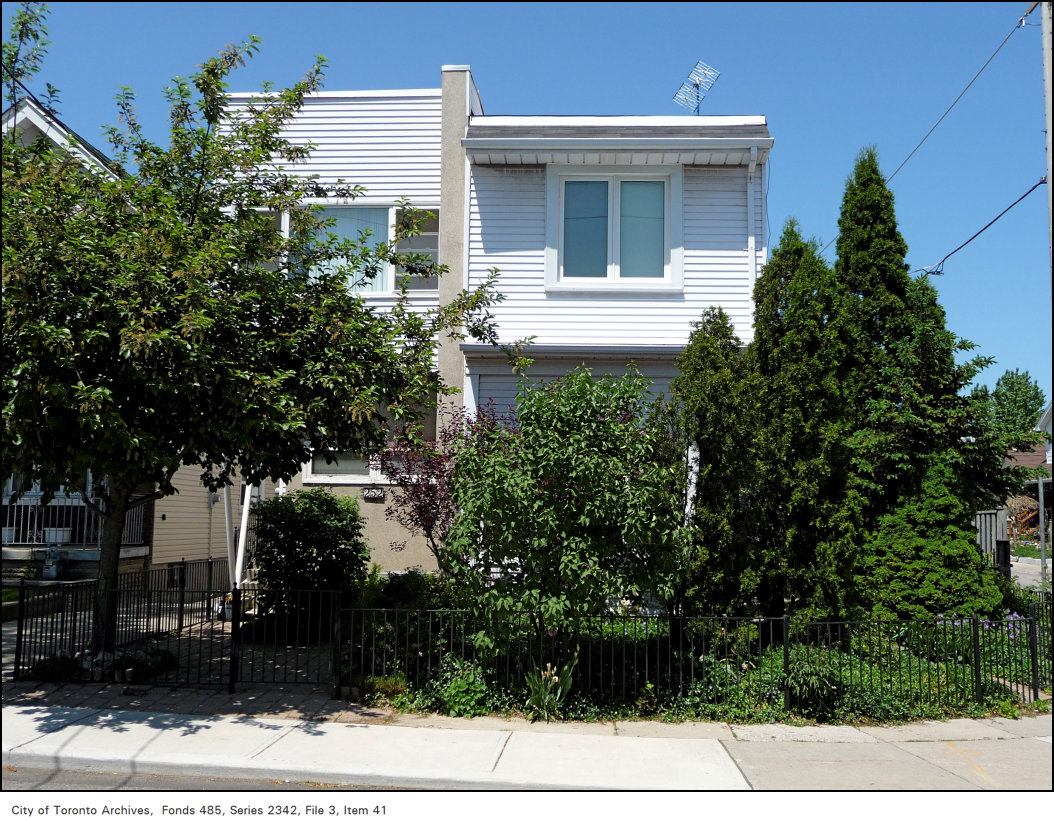
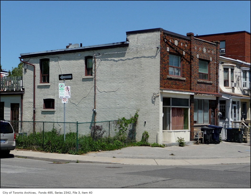
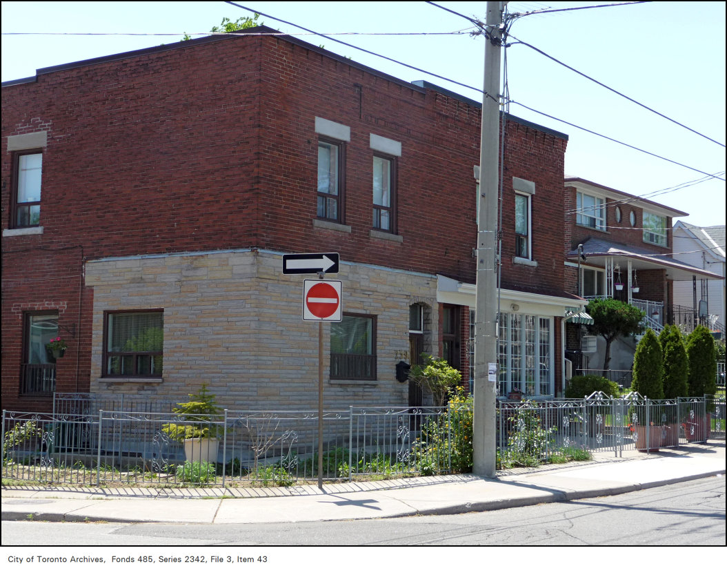
Shopping Basket Variety & Grocery, 299 Donlands Avenue, at Memorial Park Avenue, south-east corner, 2009. City of Toronto Archives, Fonds 485, Series 2342, File 3, Item 25. 198 m away.Donlands Avenue, looking south, from north of Memorial Park Avenue, 1960. City of Toronto Archives, Fonds 1257, Series 1057, Item 5563. 198 m away.Donlands Avenue, looking north, from south of Memorial Park Avenue, 1960. City of Toronto Archives, Fonds 1257, Series 1057, Item 5562. 198 m away.Former corner stores, 252 and 254 Sammon Avenue, at Wiley Avenue, north-west corner, 2009. City of Toronto Archives, Fonds 485, Series 2342, File 3, Item 42. 248 m away.Former corner stores, 252 and 254 Sammon Avenue, at Wiley Avenue, north-west corner, 2009. City of Toronto Archives, Fonds 485, Series 2342, File 3, Item 41. 248 m away.Former corner stores, 257 and 259 Sammon Avenue, at Wiley Avenue, north-east corner, 2009. City of Toronto Archives, Fonds 485, Series 2342, File 3, Item 40. 248 m away.Former corner stores, 257 and 259 Sammon Avenue, at Wiley Avenue, south-west corner, 2009. City of Toronto Archives, Fonds 485, Series 2342, File 3, Item 43. 248 m away.
Photo locations are matched from each photo’s title against City street and address data, so some may be off. Report a wrong location
We use Google Analytics cookies to see which parts of the site help people. We never send the addresses you search. Privacy
336 Mortimer Ave, Toronto — address report · My Address in Toronto