337 Mutual St
An address in Church-Wellesley, outside TRCA flood and shoreline hazard areas, with 15 active development applications within 250 metres.
Data as of Nov 8, 2026 · Every item lists its source
- Outside TRCA flood and shoreline hazard areas.
- 15 active development applications and 0 Committee of Adjustment applications within 250 m.
01The building
Recent permits (2)
- Building Permit Related(PS) · Closed · Jan 29, 2024
Plumbing - PROPOSED: INTERIOR RENOVATION TO AN EXISTING HOUSE · Permit 24 107804 PLB - Interior Alterations · Closed · Jan 29, 2024
PROPOSED: INTERIOR RENOVATION TO AN EXISTING HOUSE · Permit 24 107804 BLD
02Risks and the ground
TRCA mapping is for screening, not site-specific decisions. Lead results are voluntary samples from homes in the postal area, not this address.
03What’s changing nearby
- 1100 Wellesley St E · 50 m · Official Plan / Rezoning · Council Approved10-storey (32 metres excluding mechanical penthouse) building addition on the Cawthra Square Side only, connected to the existing 28-storey apartment building. The addition contains 128 residential rental units and steps down in height…File 17 198670 STE 27 OZ · submitted Jul 14, 2017 · City record
- 22 Cawthra Sq · 95 m · Official Plan / Rezoning · Council ApprovedThe application proposes to demolish the buildings at 2-12 Cawthra Square and to redevelop the site with a 63-storey residential tower with a gross floor area of 40,024 sq.m. The proposal would add 590 Units and 14 rental replacement units.File 23 140427 STE 13 OZ · submitted May 2, 2023 · City record
- 34 Cawthra Sq · 98 m · Official Plan / Rezoning · Council ApprovedThe application proposes to demolish the buildings at 2-12 Cawthra Square and to redevelop the site with a 63-storey residential tower with a gross floor area of 40,024 sq.m. The proposal would add 590 Units and 14 rental replacement units.File 23 140427 STE 13 OZ · submitted May 2, 2023 · City record
- 46 Cawthra Sq · 105 m · Official Plan / Rezoning · Council ApprovedThe application proposes to demolish the buildings at 2-12 Cawthra Square and to redevelop the site with a 63-storey residential tower with a gross floor area of 40,024 sq.m. The proposal would add 590 Units and 14 rental replacement units.File 23 140427 STE 13 OZ · submitted May 2, 2023 · City record
- 58 Cawthra Sq · 110 m · Official Plan / Rezoning · Council ApprovedThe application proposes to demolish the buildings at 2-12 Cawthra Square and to redevelop the site with a 63-storey residential tower with a gross floor area of 40,024 sq.m. The proposal would add 590 Units and 14 rental replacement units.File 23 140427 STE 13 OZ · submitted May 2, 2023 · City record
- 610 Cawthra Sq · 115 m · Official Plan / Rezoning · Council ApprovedThe application proposes to demolish the buildings at 2-12 Cawthra Square and to redevelop the site with a 63-storey residential tower with a gross floor area of 40,024 sq.m. The proposal would add 590 Units and 14 rental replacement units.File 23 140427 STE 13 OZ · submitted May 2, 2023 · City record
- 7440 Jarvis St · 118 m · Site Plan · Under ReviewSite Plan Approval for a 56-storey mixed-use building. The proposed building contains a total of 579 dwelling units, of which 36 are rental replacement units, and a total of approximately 4,739 square metres of institutional space for the…File 25 228933 STE 13 SA · submitted Sep 22, 2025 · City record
- 8440 Jarvis St · 118 m · Official Plan / Rezoning · OMB AppealCombined Official Plan & Zoning By-law Amendment for a 56-storey mixed-use building. The proposed building contains a total of 579 dwelling units, of which 36 are rental replacement units, and a total of approximately 4,739 square metres…File 25 187527 STE 13 OZ · submitted Jul 3, 2025 · City record
- 912 Cawthra Sq · 122 m · Official Plan / Rezoning · Council ApprovedThe application proposes to demolish the buildings at 2-12 Cawthra Square and to redevelop the site with a 63-storey residential tower with a gross floor area of 40,024 sq.m. The proposal would add 590 Units and 14 rental replacement units.File 23 140427 STE 13 OZ · submitted May 2, 2023 · City record
- 10110 Maitland St · 155 m · Site Plan · Under ReviewSite Plan Approval for a 56-storey mixed-use building. The proposed building contains a total of 579 dwelling units, of which 36 are rental replacement units, and a total of approximately 4,739 square metres of institutional space for the…File 25 228933 STE 13 SA · submitted Sep 22, 2025 · City record
- 11110 Maitland St · 155 m · Official Plan / Rezoning · OMB AppealCombined Official Plan & Zoning By-law Amendment for a 56-storey mixed-use building. The proposed building contains a total of 579 dwelling units, of which 36 are rental replacement units, and a total of approximately 4,739 square metres…File 25 187527 STE 13 OZ · submitted Jul 3, 2025 · City record
- 12114 Maitland St · 157 m · Site Plan · Under ReviewSite Plan Approval for a 56-storey mixed-use building. The proposed building contains a total of 579 dwelling units, of which 36 are rental replacement units, and a total of approximately 4,739 square metres of institutional space for the…File 25 228933 STE 13 SA · submitted Sep 22, 2025 · City record
Development Applications; Committee of Adjustment Applications · 11 registered short-term rentals within 250 m.
04City services
05Quick answers about 337 Mutual St
Is 337 Mutual St in a flood plain?
No. It is outside TRCA's mapped flood and shoreline hazard areas. Source: TRCA Regulation mapping 2025.
What is being built near 337 Mutual St?
15 active development applications within 250 metres, the closest at 100 Wellesley St E (50 m). Source: Development Applications.
Answers are generated from the data on this page and update when the data changes.
06From the archives
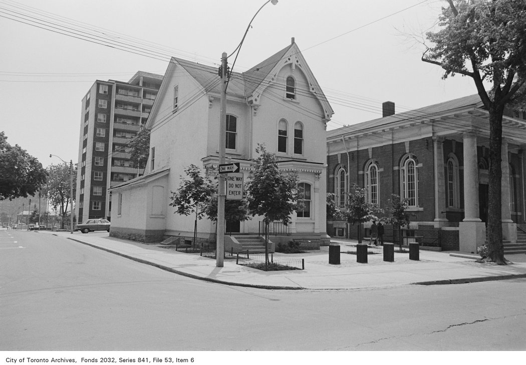
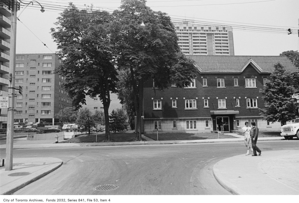
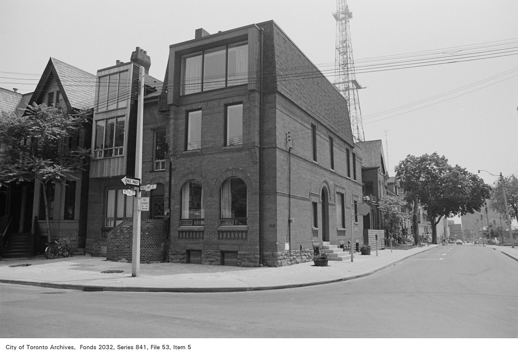
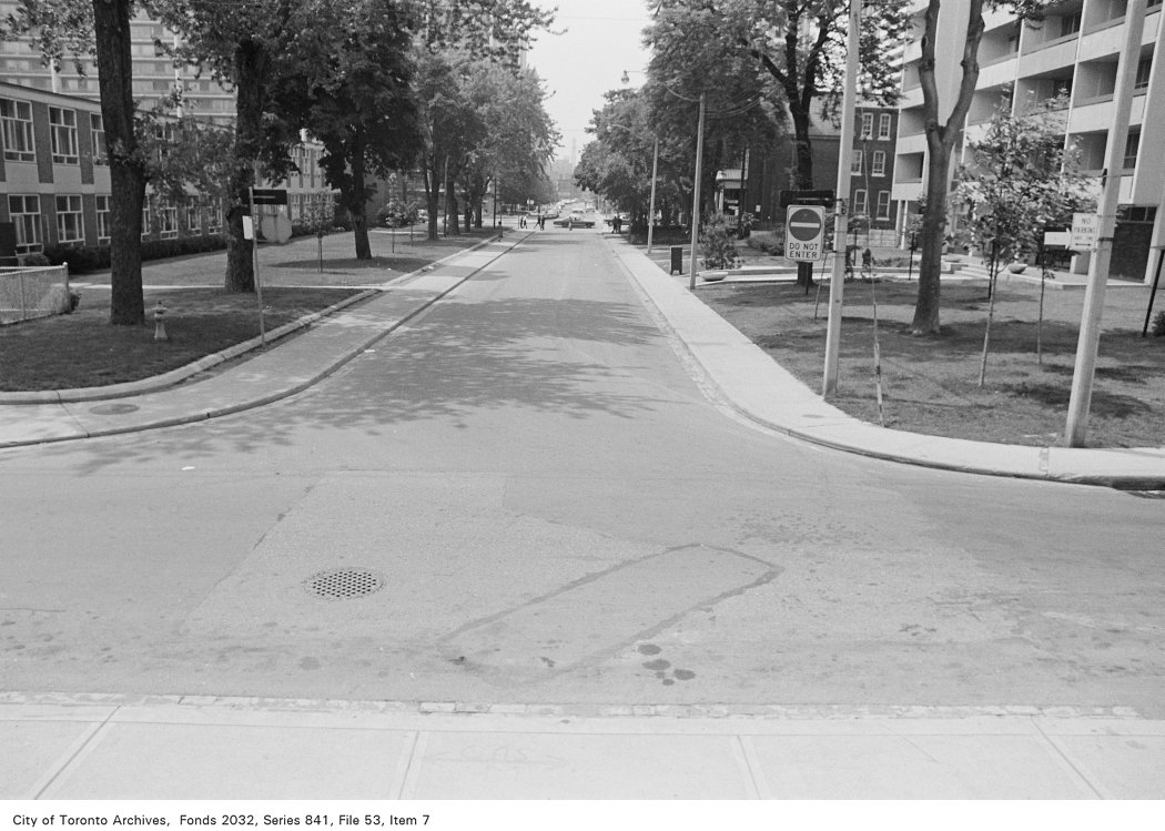
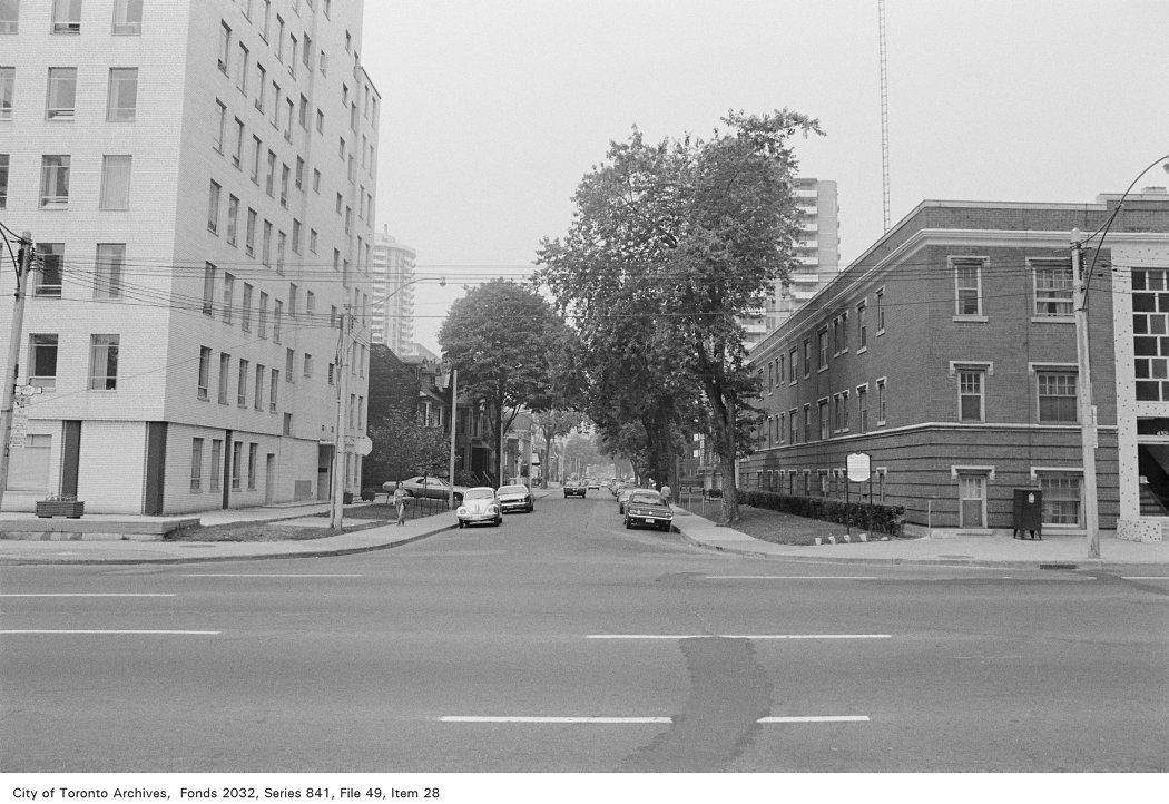
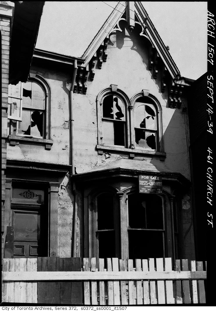
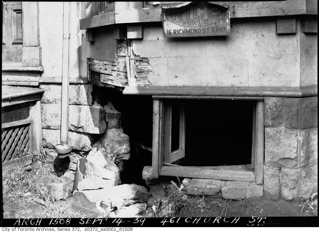


Photo locations are matched from each photo’s title against City street and address data, so some may be off. Report a wrong location