3423 St Clair Ave E
A registered apartment building built in 1968 with a RentSafe score of 93, outside TRCA flood and shoreline hazard areas, with 11 active development applications within 250 metres.
Data as of Nov 7, 2026 · Every item lists its source
- RentSafe evaluation score of 93 out of 100 (evaluated Oct 8, 2025).
- Outside TRCA flood and shoreline hazard areas.
- 11 active development applications and 0 Committee of Adjustment applications within 250 m.
01The building
Recent permits (1)
- Backflow Prevention Devices (Water only) · Closed · Jul 10, 2018
Installation of backflow device · Permit 18 173629 PSA
02Risks and the ground
TRCA mapping is for screening, not site-specific decisions. Lead results are voluntary samples from homes in the postal area, not this address.
03What’s changing nearby
- 13437 St Clair Ave E · 209 m · Official Plan / Rezoning · Council ApprovedFiled in conjunction with 22 206341 ESC 20 OZ and 22 206339 ESC 20 SA. The application proposes a 16-storey mixed-use building on the subject lands, with residential, retail and amenity uses at grade. The remaining residential units and…File 21 165800 ESC 20 OZ · submitted Jun 4, 2021 · City record
- 23437 St Clair Ave E · 209 m · Condominium · Under Review***File 21 231415 ESC 20 CD · submitted Oct 28, 2021 · City record
- 33431 St Clair Ave E · 212 m · Condominium · Under Review***File 21 231415 ESC 20 CD · submitted Oct 28, 2021 · City record
- 43431 St Clair Ave E · 212 m · Official Plan / Rezoning · Council ApprovedFiled in conjunction with 22 206341 ESC 20 OZ and 22 206339 ESC 20 SA. The application proposes a 16-storey mixed-use building on the subject lands, with residential, retail and amenity uses at grade. The remaining residential units and…File 21 165800 ESC 20 OZ · submitted Jun 4, 2021 · City record
- 53449 St Clair Ave E · 225 m · Site Plan · Under ReviewThe application proposes a 16-storey mixed-use building on the subject lands, with residential, retail and amenity uses at grade. The remaining residential units and amenity uses would be located on floors 2 to 16. The proposed…File 22 206339 ESC 20 SA · submitted Sep 20, 2022 · City record
- 63449 St Clair Ave E · 225 m · Condominium · Under Review***File 21 231415 ESC 20 CD · submitted Oct 28, 2021 · City record
- 73449 St Clair Ave E · 225 m · Official Plan / Rezoning · Council ApprovedFiled in conjunction with rezoning application 21 165800 ESC 20 OZ and 22 206341 ESC 20 SA for 3431-3449 St. Clair Ave. E. Proposes redsignation of 67 Elfreda Boulevard for inclusion in the larger development. The application proposes a…File 22 206341 ESC 20 OZ · submitted Sep 20, 2022 · City record
- 83449 St Clair Ave E · 225 m · Official Plan / Rezoning · Council ApprovedFiled in conjunction with 22 206341 ESC 20 OZ and 22 206339 ESC 20 SA. The application proposes a 16-storey mixed-use building on the subject lands, with residential, retail and amenity uses at grade. The remaining residential units and…File 21 165800 ESC 20 OZ · submitted Jun 4, 2021 · City record
- 90 Brimley Rd · 225 m · Subdivision · Under ReviewProposed plan of subdivision having a total area of 15.625 ha . The subdivision proposes new public roads, along with various blocks for on-street townhouses, back to back townhouses along with future development blocks, parks, buffer and…File 20 230363 ESC 20 SB · submitted Dec 18, 2020 · City record
- 100 Brimley Rd · 225 m · Official Plan / Rezoning · OMB AppealOfficial Plan and Zoning By-law Amendments to facilitate a proposed plan of subdivision having a total area of 15.625 ha . The subdivision proposes new public roads, along with various blocks for 384 townhouse units (single block and back…File 20 230362 ESC 20 OZ · submitted Dec 18, 2020 · City record
- 1167 Elfreda Blvd · 234 m · Official Plan / Rezoning · Council ApprovedFiled in conjunction with 22 206341 ESC 20 OZ and 22 206339 ESC 20 SA. The application proposes a 16-storey mixed-use building on the subject lands, with residential, retail and amenity uses at grade. The remaining residential units and…File 21 165800 ESC 20 OZ · submitted Jun 4, 2021 · City record
Development Applications; Committee of Adjustment Applications · 1 registered short-term rentals within 250 m.
04City services
05Quick answers about 3423 St Clair Ave E
Is 3423 St Clair Ave E in a flood plain?
No. It is outside TRCA's mapped flood and shoreline hazard areas. Source: TRCA Regulation mapping 2025.
What is being built near 3423 St Clair Ave E?
11 active development applications within 250 metres, the closest at 3437 St Clair Ave E (209 m). Source: Development Applications.
When is garbage day at 3423 St Clair Ave E?
Collection calendar Thursday 1. Next garbage pickup: Nov 19, 2026. Source: Solid Waste Collection Schedule.
Answers are generated from the data on this page and update when the data changes.
06From the archives
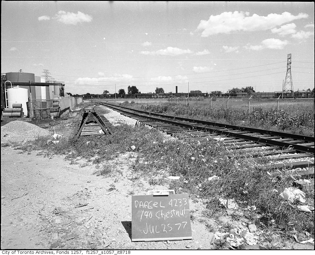
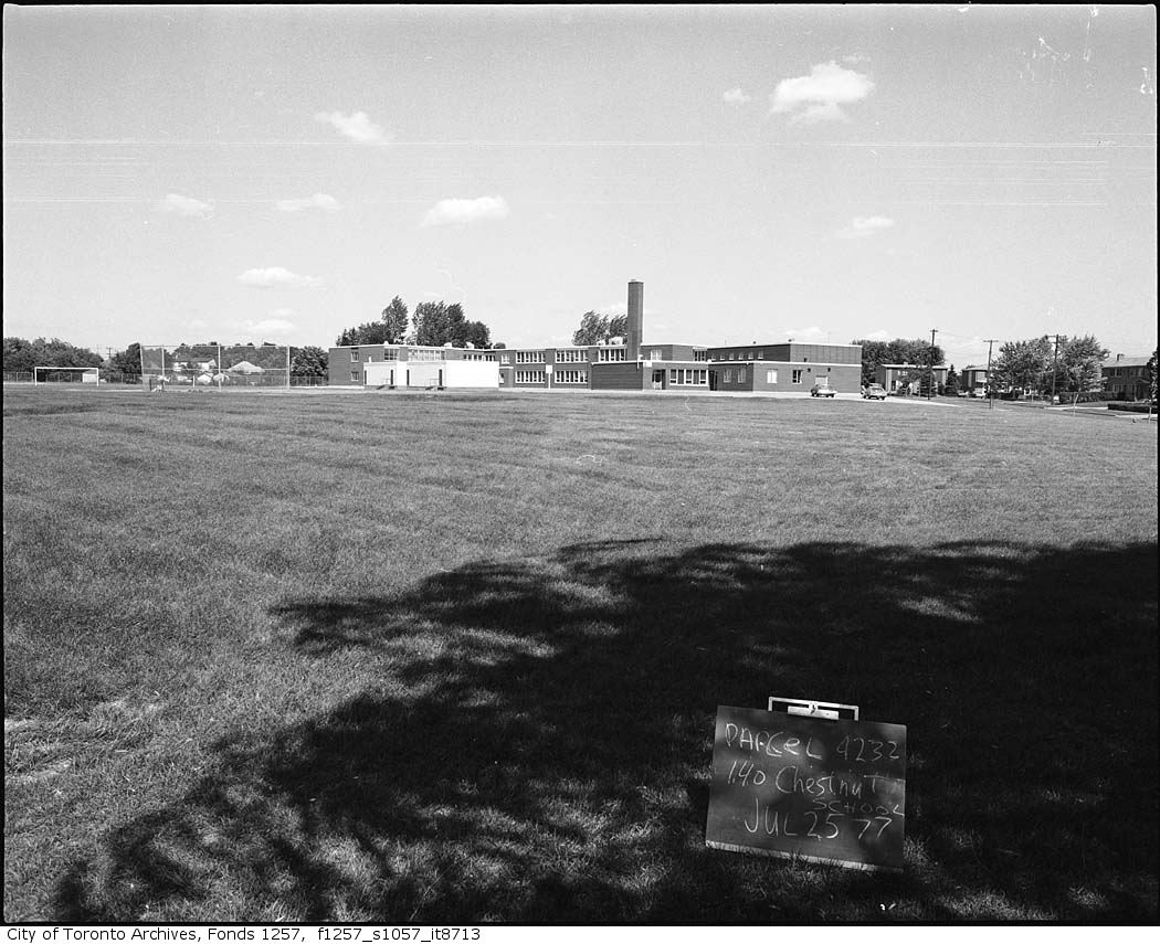
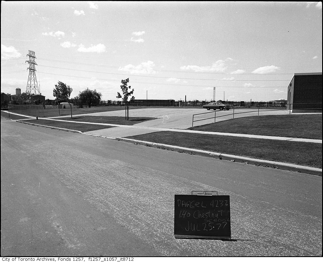
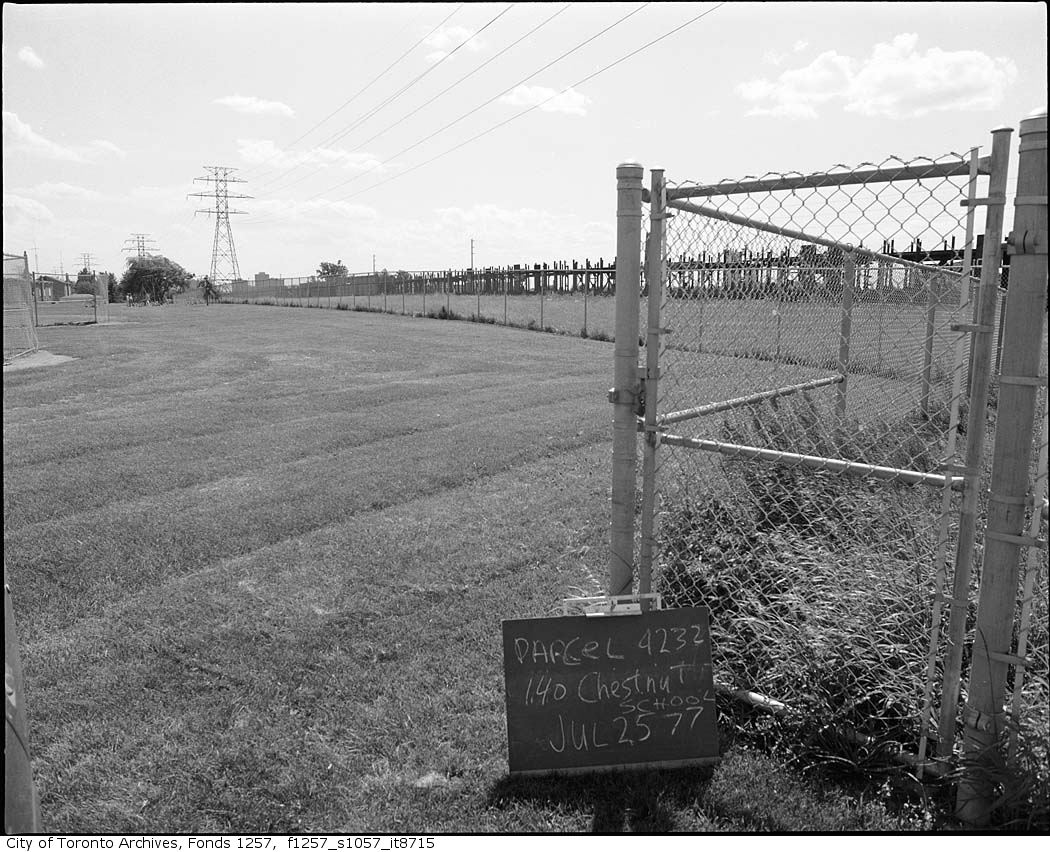
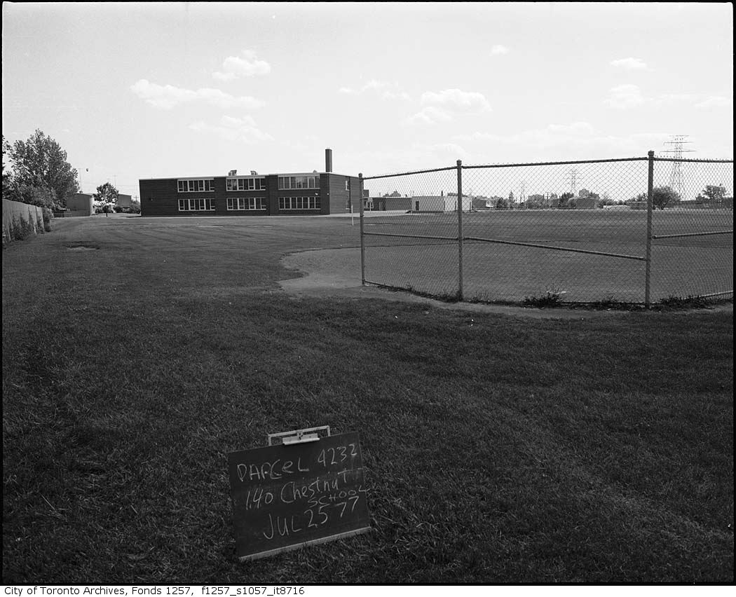
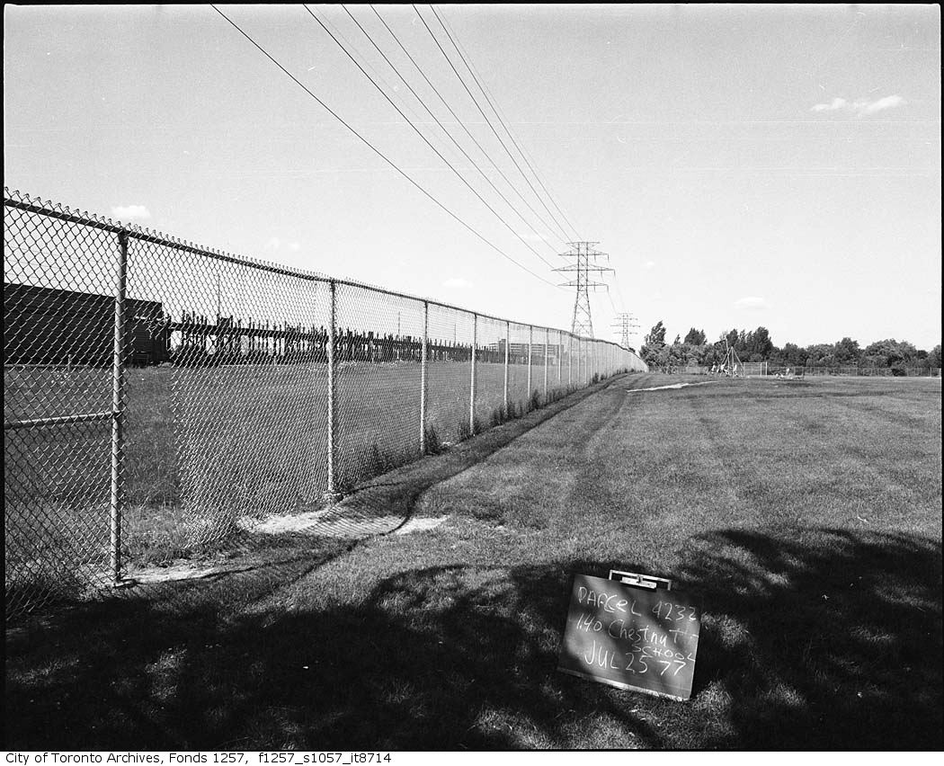
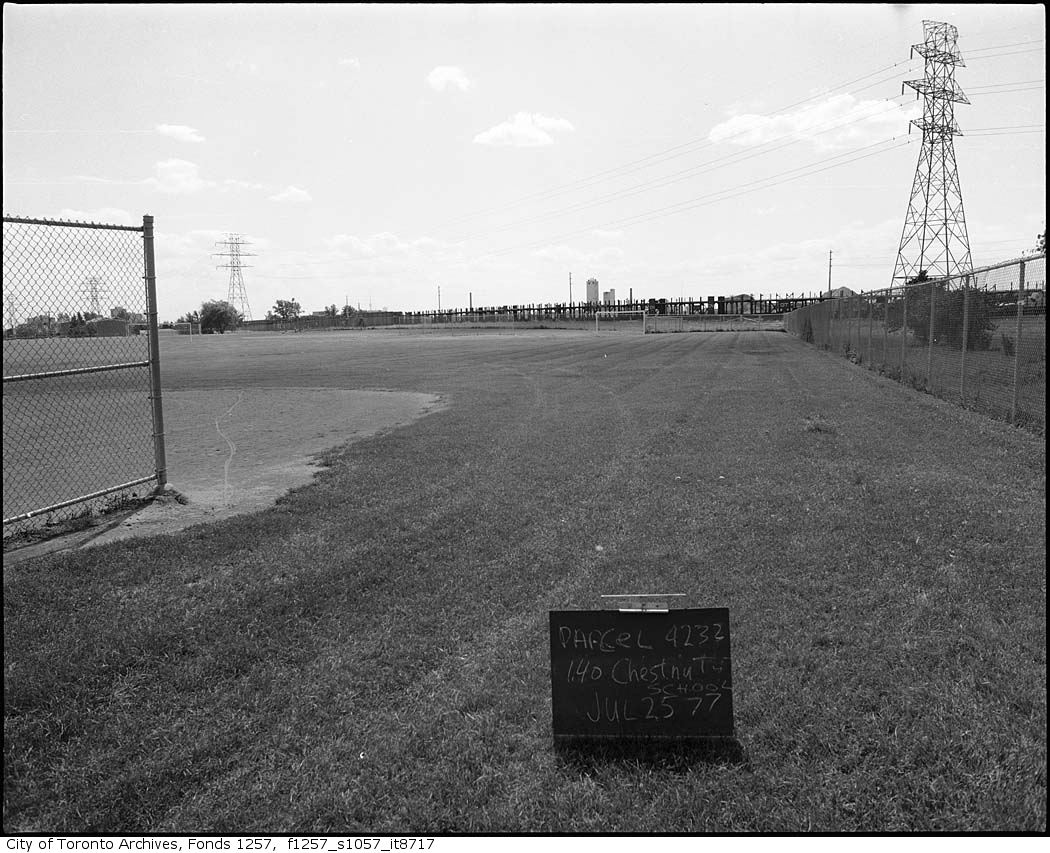
Photo locations are matched from each photo’s title against City street and address data, so some may be off. Report a wrong location