375 Eastern Ave
An address in South Riverdale, outside TRCA flood and shoreline hazard areas, with 15 active development applications within 250 metres.
Data as of Nov 7, 2026 · Every item lists its source
- Outside TRCA flood and shoreline hazard areas.
- 15 active development applications and 2 Committee of Adjustment applications within 250 m.
01The building
Recent permits (8)
- Site Service · Inspection · May 11, 2026
Drain - Proposal for New construction of East Harbour Transit Hub station at Lakeshore East rail corridor · Permit 24 250161 STS - New Building · Inspection · Apr 20, 2026
Proposal for New construction of East Harbour Transit Hub station at Lakeshore East rail corridor · Permit 24 250161 BLD - Building Permit Related(PS) · Inspection · Apr 17, 2026
Plumbing - Proposal for New construction of East Harbour Transit Hub station at Lakeshore East rail corridor · Permit 24 250161 PLB - Building Permit Related(MS) · Inspection · Apr 17, 2026
HVAC - Proposal for New construction of East Harbour Transit Hub station at Lakeshore East rail corridor · Permit 24 250161 HVA - Partial Permit - Foundation · Closed · Apr 17, 2026
Part Permit - Proposal for New construction of East Harbour Transit Hub station at Lakeshore East rail corridor · Permit 24 250161 FND - Partial Permit - Foundation · Closed · Oct 15, 2025
Conditional Permit - Part Permit - Proposal for New construction of East Harbour Transit Hub station at Lakeshore East rail corridor · Permit 24 250161 FND - Other Temporary Tents · Cancelled · Sep 24, 2025
Proposed installation of 30'x40' Tent. Install is Sept 26th and removal is Sept 26th. Tent will be staked to ground · Permit 25 230028 TPS - Building Permit Related (DR) · Revision Issued · Sep 16, 2025
REV 01 - Revision to drain permitDrain - Proposal for New construction of East Harbour Transit Hub station at Lakeshore East rail corridor · Permit 24 250161 DRN
02Risks and the ground
TRCA mapping is for screening, not site-specific decisions. Lead results are voluntary samples from homes in the postal area, not this address.
03What’s changing nearby
- 1797 Queen St E · 119 m · Site Plan · Under ReviewSite Plan Control Placeholder for Leslieville Station, one of the stations included in the Ontario Line Elevated Guideway and Stations contract.File 24 250727 STE 14 SA · submitted Dec 16, 2024 · City record
- 2786-788 Queen St E · 171 m · Site Plan · NOAC IssuedSite Plan application to permit a 6 storey mixed use building, containing 15 residential units and 69.64 square metres of ground floor commercial GFA.File 23 139189 STE 14 SA · submitted Apr 28, 2023 · City record
- 326 B Lewis St · 173 m · Subdivision · Under ReviewDraft Plan of Subdivision for 2 blocks.File 21 234394 STE 14 SB · submitted Nov 4, 2021 · City record
- 426 B Lewis St · 173 m · Official Plan / Rezoning · OMB AppealOfficial Plan and Zoning By-law amendment to facilitate the development of the site for a 12-storey mixed-use building having a non-residential gross floor area of 794 square metres, and a residential gross floor area of 28,638 square…File 21 210146 STE 14 OZ · submitted Sep 9, 2021 · City record
- 5786 Queen St E · 174 m · Site Plan · NOAC IssuedSite Plan application to permit a 6 storey mixed use building, containing 15 residential units and 69.64 square metres of ground floor commercial GFA.File 23 139189 STE 14 SA · submitted Apr 28, 2023 · City record
- 626 A Lewis St · 176 m · Official Plan / Rezoning · OMB AppealOfficial Plan and Zoning By-law amendment to facilitate the development of the site for a 12-storey mixed-use building having a non-residential gross floor area of 794 square metres, and a residential gross floor area of 28,638 square…File 21 210146 STE 14 OZ · submitted Sep 9, 2021 · City record
- 726 A Lewis St · 176 m · Subdivision · Under ReviewDraft Plan of Subdivision for 2 blocks.File 21 234394 STE 14 SB · submitted Nov 4, 2021 · City record
- 88 De Grassi St · 187 m · Site Plan · Appeal ReceivedSties Plan Control application for a proposed 6-storey mixed use building with 15 residential and one commercial units. Minor Variance application 22 240793 STE 14 MV is associated (deferred Dec. 2022). This application (both SP and MV…File 17 279888 STE 30 SA · submitted Dec 28, 2017 · City record
- 940 Lewis St · 202 m · Official Plan / Rezoning · OMB AppealOfficial Plan and Zoning By-law amendment to facilitate the development of the site for a 12-storey mixed-use building having a non-residential gross floor area of 794 square metres, and a residential gross floor area of 28,638 square…File 21 210146 STE 14 OZ · submitted Sep 9, 2021 · City record
- 1040 Lewis St · 202 m · Subdivision · Under ReviewDraft Plan of Subdivision for 2 blocks.File 21 234394 STE 14 SB · submitted Nov 4, 2021 · City record
- 1134 Lewis St · 205 m · Subdivision · Under ReviewDraft Plan of Subdivision for 2 blocks.File 21 234394 STE 14 SB · submitted Nov 4, 2021 · City record
- 1234 Lewis St · 205 m · Official Plan / Rezoning · OMB AppealOfficial Plan and Zoning By-law amendment to facilitate the development of the site for a 12-storey mixed-use building having a non-residential gross floor area of 794 square metres, and a residential gross floor area of 28,638 square…File 21 210146 STE 14 OZ · submitted Sep 9, 2021 · City record
Development Applications; Committee of Adjustment Applications · 6 registered short-term rentals within 250 m.
04City services
05Quick answers about 375 Eastern Ave
Is 375 Eastern Ave in a flood plain?
No. It is outside TRCA's mapped flood and shoreline hazard areas. Source: TRCA Regulation mapping 2025.
What is being built near 375 Eastern Ave?
15 active development applications within 250 metres, the closest at 797 Queen St E (119 m). Source: Development Applications.
When is garbage day at 375 Eastern Ave?
Collection calendar Thursday 1. Next garbage pickup: Nov 19, 2026. Source: Solid Waste Collection Schedule.
Answers are generated from the data on this page and update when the data changes.
06From the archives
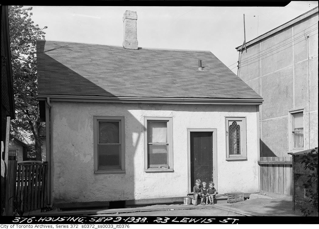
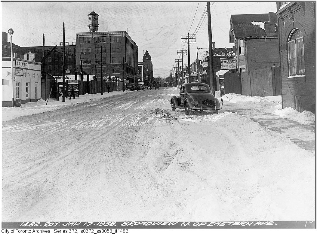
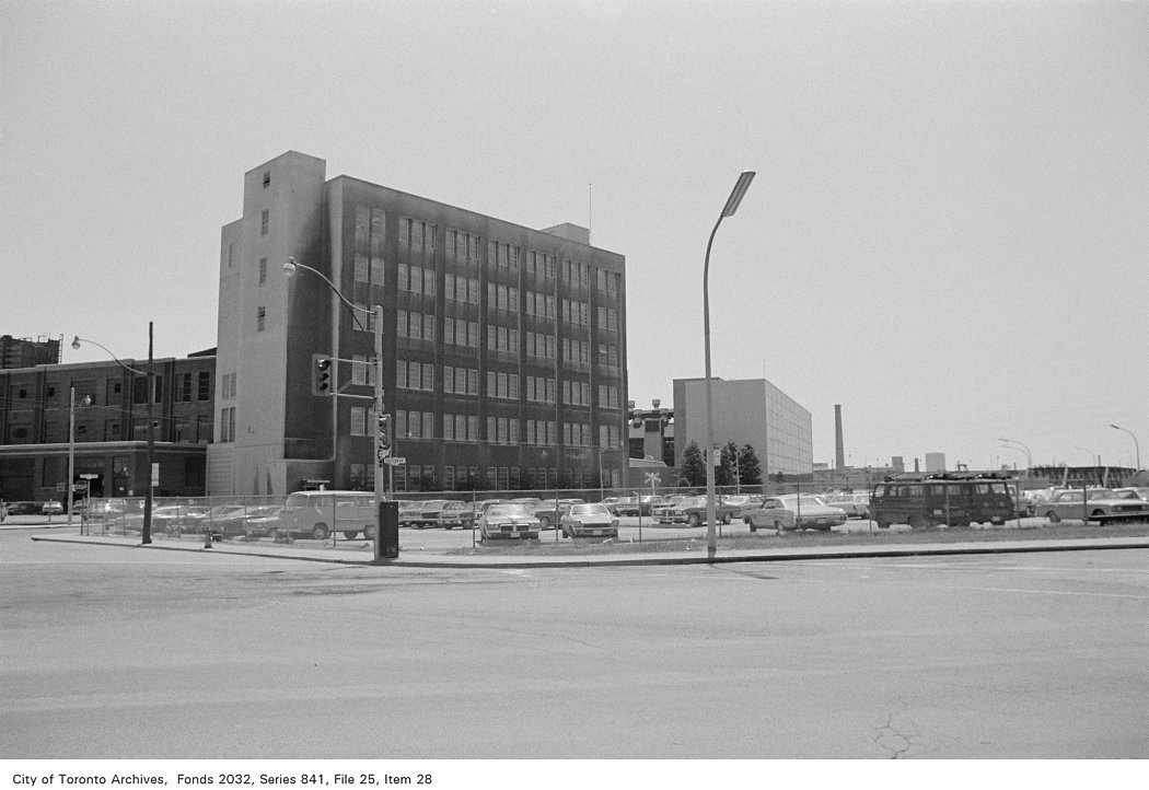
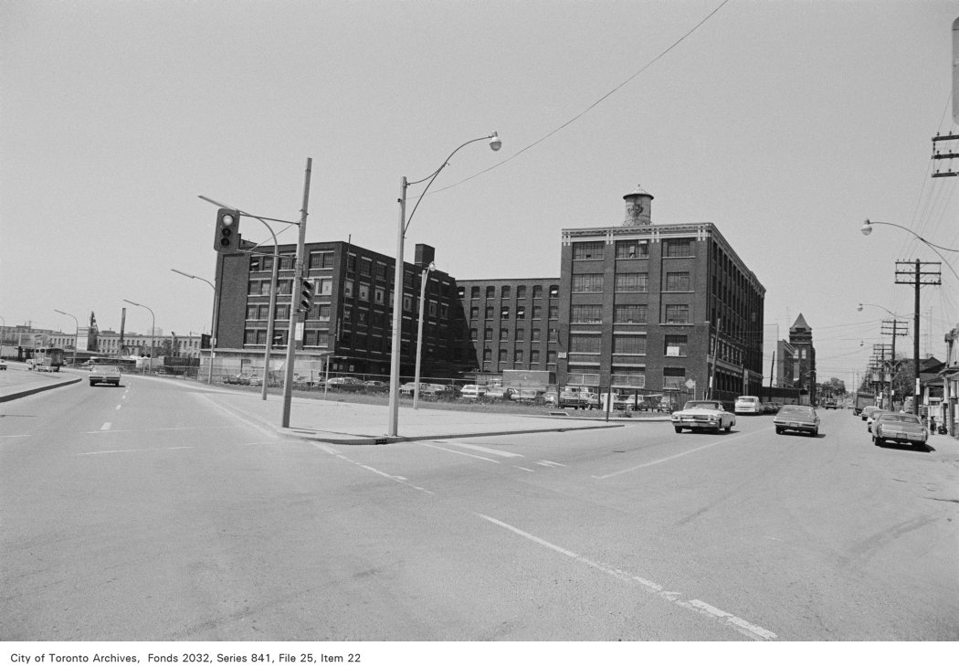
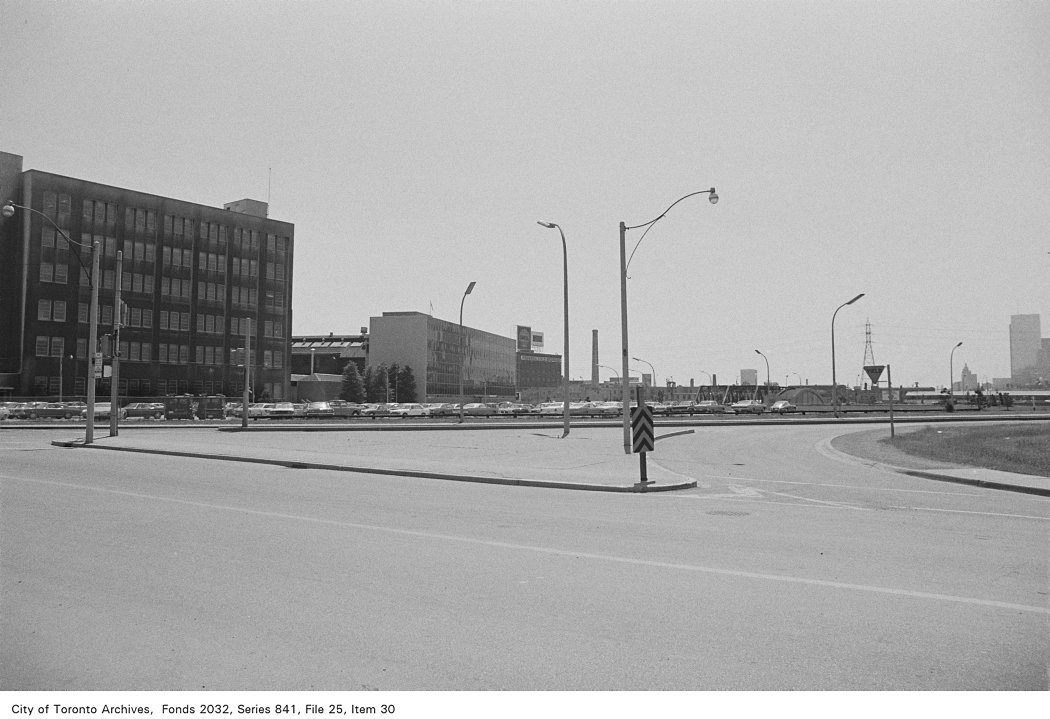
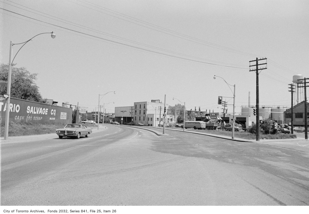
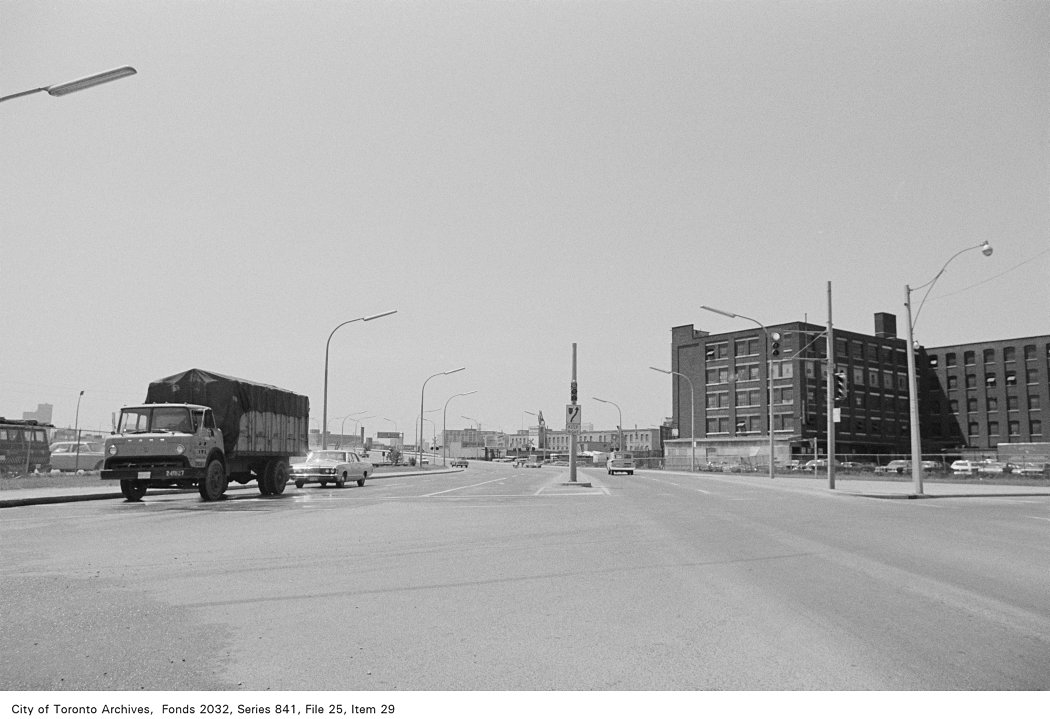
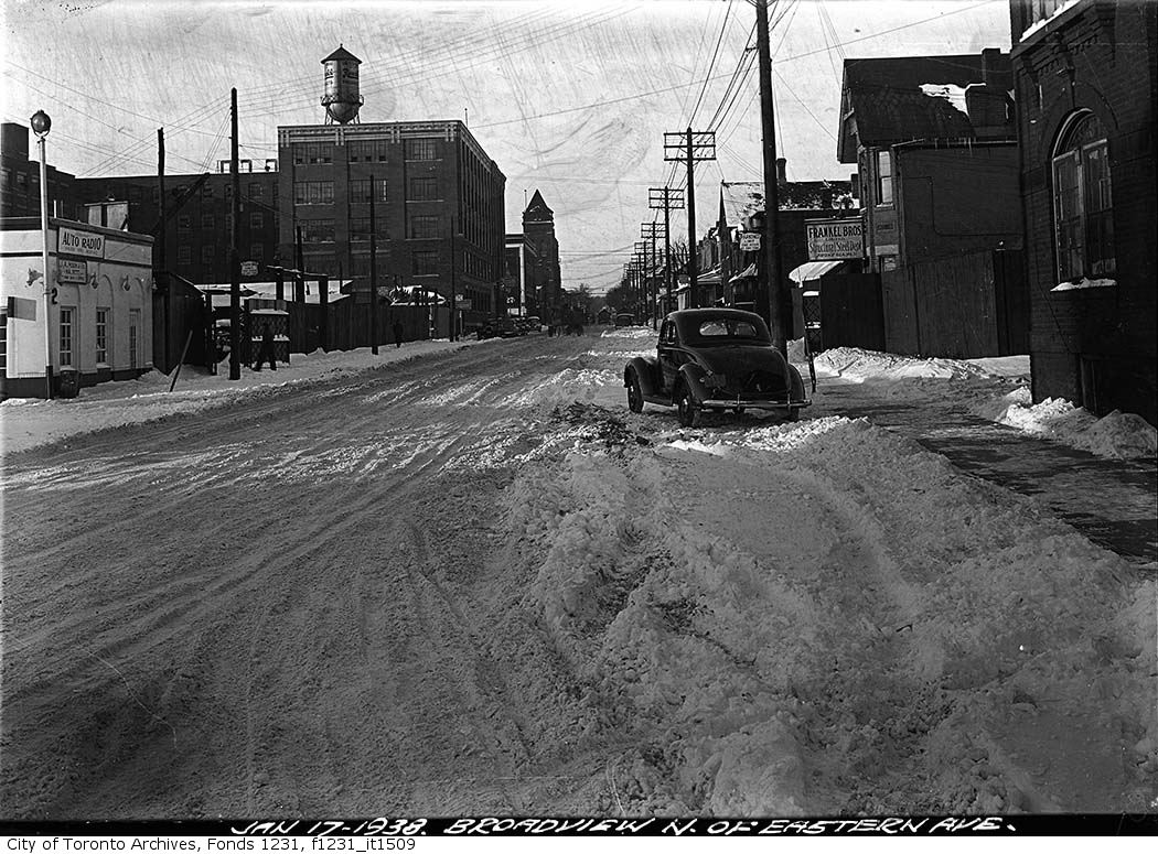
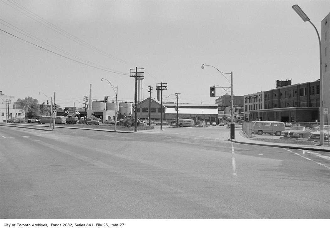
Photo locations are matched from each photo’s title against City street and address data, so some may be off. Report a wrong location