39 Heath St E
An address in Rosedale-Moore Park, outside TRCA flood and shoreline hazard areas, with 10 active development applications within 250 metres.
Data as of Nov 7, 2026 · Every item lists its source
- Outside TRCA flood and shoreline hazard areas.
- 10 active development applications and 3 Committee of Adjustment applications within 250 m.
01The building
Recent permits (8)
- Partial Permit - Foundation · Permit Issued · Aug 7, 2026
Part Permit - Proposal to construct a new semi-detached duplex with covered parking space (26.66 m2) and finished basement (99.15 m2).See also 25-250323 DEM 00 DM, 24-224347 ZAP 00 ZR, 23-201329 STE… · Permit 25 259166 FND - Demolition · Permit Issued · Jul 27, 2026
Proposal to demolish existing two-storey single family dwelling and sever lot property into three residential lots.See also 25-250343 00 BLD NH , 25-250400 00 BLD NH , 25-250434 BLD 00 NH , · Permit 25 250323 DEM - Partial Permit - Foundation · Permit Issued · Jul 27, 2026
Part Permit - Proposal to construct a new semi-detached duplex with covered parking space (26.66 m2) and finished basement (99.15 m2).See also 25-250323 DEM 00 DM, 22-129695 ZAP 00 ZR, 23-201328 STE… · Permit 25 259054 FND - Partial Permit - Foundation · Permit Issued · Jul 27, 2026
Part Permit - Proposal to construct a new detached duplex with covered parking space (24.55 m2) and finished basement (92.97 m2).See also 25-250323 DEM 00 DM, 23-129700 ZAP 00 ZR, 23-201330 STE 12 MV · Permit 25 259172 FND - DCs DeferredFees · Open · Jul 27, 2026
Deferred Fees from folder 25 259166 (RSN-5747268) ZoningProcess RSN 80313537 · Permit 26 259166 BLD - DCs DeferredFees · Open · Jul 27, 2026
Deferred Fees from folder 25 259172 (RSN-5747277) ZoningProcess RSN 80313770 · Permit 26 259172 BLD - New Building · Refusal Notice · Nov 27, 2025
Proposal to construct a new semi-detached duplex with covered parking space (26.66 m2) and finished basement (99.15 m2).See also 25-250323 DEM 00 DM, 22-129695 ZAP 00 ZR, 23-201328 STE 12 MV · Permit 25 259054 BLD - New Building · Refusal Notice · Nov 27, 2025
Proposal to construct a new semi-detached duplex with covered parking space (26.66 m2) and finished basement (99.15 m2).See also 25-250323 DEM 00 DM, 24-224347 ZAP 00 ZR, 23-201329 STE 12 MV · Permit 25 259166 BLD
02Risks and the ground
TRCA mapping is for screening, not site-specific decisions. Lead results are voluntary samples from homes in the postal area, not this address.
03What’s changing nearby
- 11495 Yonge St · 166 m · Official Plan / Rezoning · OMB AppealApplication to amend the Official Plan and Zoning By-law to permit a mixed-use development consisting of four residential buildings 44, 39, 27, and 13-storeys, a new park at the northwest corner of the site, a courtyard privately owned…File 19 134851 STE 12 OZ · submitted Apr 3, 2019 · City record
- 21495 Yonge St · 166 m · Subdivision · Under ReviewDraft Plan of Subdivision for 4 blocks.File 21 226522 STE 12 SB · submitted Oct 15, 2021 · City record
- 336 Alvin Ave · 244 m · Official Plan / Rezoning · OMB AppealApplication to amend the Official Plan and Zoning By-law to permit a mixed-use development consisting of four residential buildings 44, 39, 27, and 13-storeys, a new park at the northwest corner of the site, a courtyard privately owned…File 19 134851 STE 12 OZ · submitted Apr 3, 2019 · City record
- 436 Alvin Ave · 244 m · Subdivision · Under ReviewDraft Plan of Subdivision for 4 blocks.File 21 226522 STE 12 SB · submitted Oct 15, 2021 · City record
- 536 Alvin Ave · 244 m · Site Plan · Under ReviewMixed use development consisting of three towers organized around a central publicly accessible open space (POPS), along with a new 1,560 m² public park at the northwest corner of the site. The development would include 661 residential…File 26 185667 STE 12 SA · submitted Jun 16, 2026 · City record
- 629 Heath St E · 248 m · Official Plan / Rezoning · OMB AppealApplication to amend the Official Plan and Zoning By-law to permit a mixed-use development consisting of four residential buildings 44, 39, 27, and 13-storeys, a new park at the northwest corner of the site, a courtyard privately owned…File 19 134851 STE 12 OZ · submitted Apr 3, 2019 · City record
- 729 Heath St E · 248 m · Subdivision · Under ReviewDraft Plan of Subdivision for 4 blocks.File 21 226522 STE 12 SB · submitted Oct 15, 2021 · City record
- 829 Heath St E · 248 m · Site Plan · Under ReviewMixed use development consisting of three towers organized around a central publicly accessible open space (POPS), along with a new 1,560 m² public park at the northwest corner of the site. The development would include 661 residential…File 26 185667 STE 12 SA · submitted Jun 16, 2026 · City record
- 959 Lawton Blvd · 249 m · Site Plan · Under ReviewSite Plan Approval for two new 38 and 43-storey residential buildings. The proposed development will be comprised of 706 residential units.File 25 121712 STE 12 SA · submitted Feb 25, 2025 · City record
- 1059 Lawton Blvd · 249 m · Official Plan / Rezoning · OMB AppealOLT Interim Order for Approval of two new 37 and 38-storey residential buildings subject to fulfillment of conditions.File 25 121716 STE 12 OZ · submitted Feb 25, 2025 · City record
- 1147 Alvin Ave · 50 m · Committee of Adjustment · Minor variance · PostponedTo alter the existing two-storey semi-detached dwelling by constructing a north side addition, south side addition, a south side basement walkout and re-constructing the rear deck.File A0594/21TEY · submitted Apr 25, 2021
- 121560 Yonge St · 190 m · Committee of Adjustment · Minor variance · TLAB AppealTo construct a new three-storey non-residential building (including a mezzanine level), with various uses such as: adaptable spaces for community-oriented and commercial uses, a convertible auditorium space, an atrium gathering area,…File A0272/26TEY · submitted Apr 1, 2026
Development Applications; Committee of Adjustment Applications · 1 registered short-term rentals within 250 m.
04City services
05Quick answers about 39 Heath St E
Is 39 Heath St E in a flood plain?
No. It is outside TRCA's mapped flood and shoreline hazard areas. Source: TRCA Regulation mapping 2025.
What is being built near 39 Heath St E?
10 active development applications within 250 metres, the closest at 1495 Yonge St (166 m). Source: Development Applications.
When is garbage day at 39 Heath St E?
Collection calendar Wednesday 2. Next garbage pickup: Nov 11, 2026. Source: Solid Waste Collection Schedule.
Answers are generated from the data on this page and update when the data changes.
06From the archives
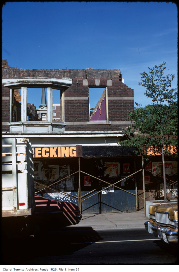
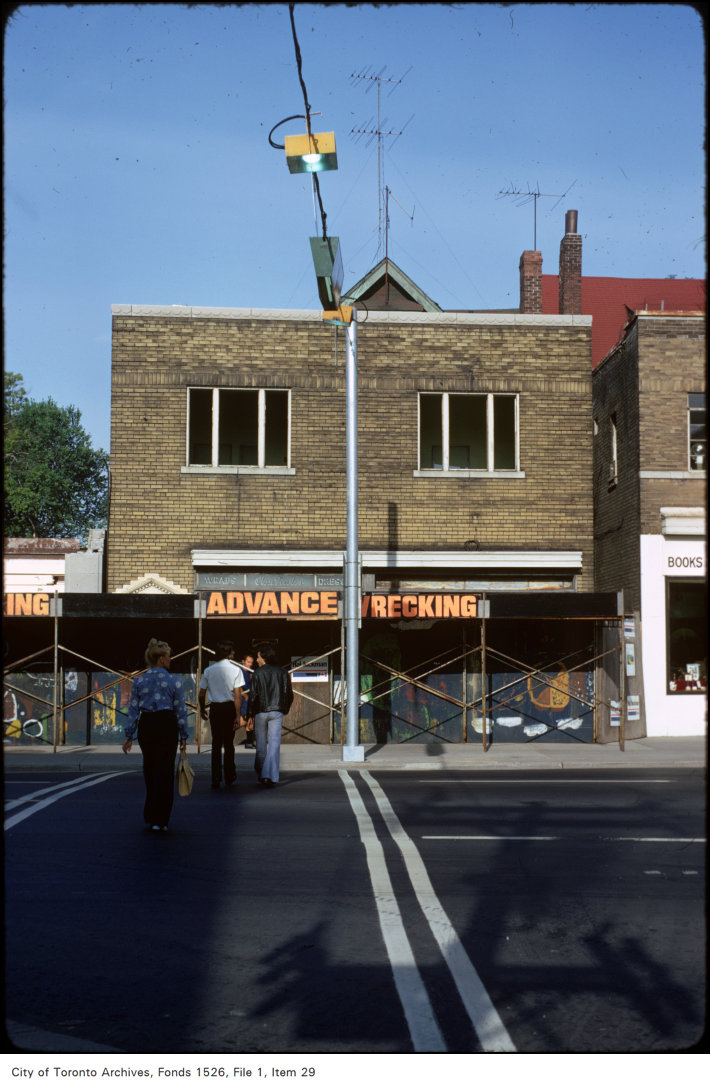
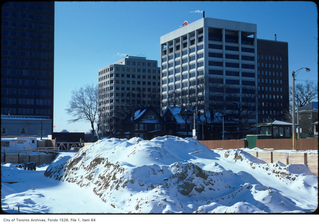
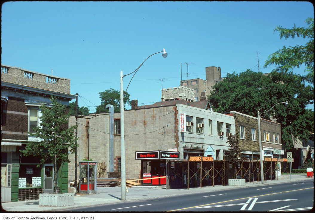
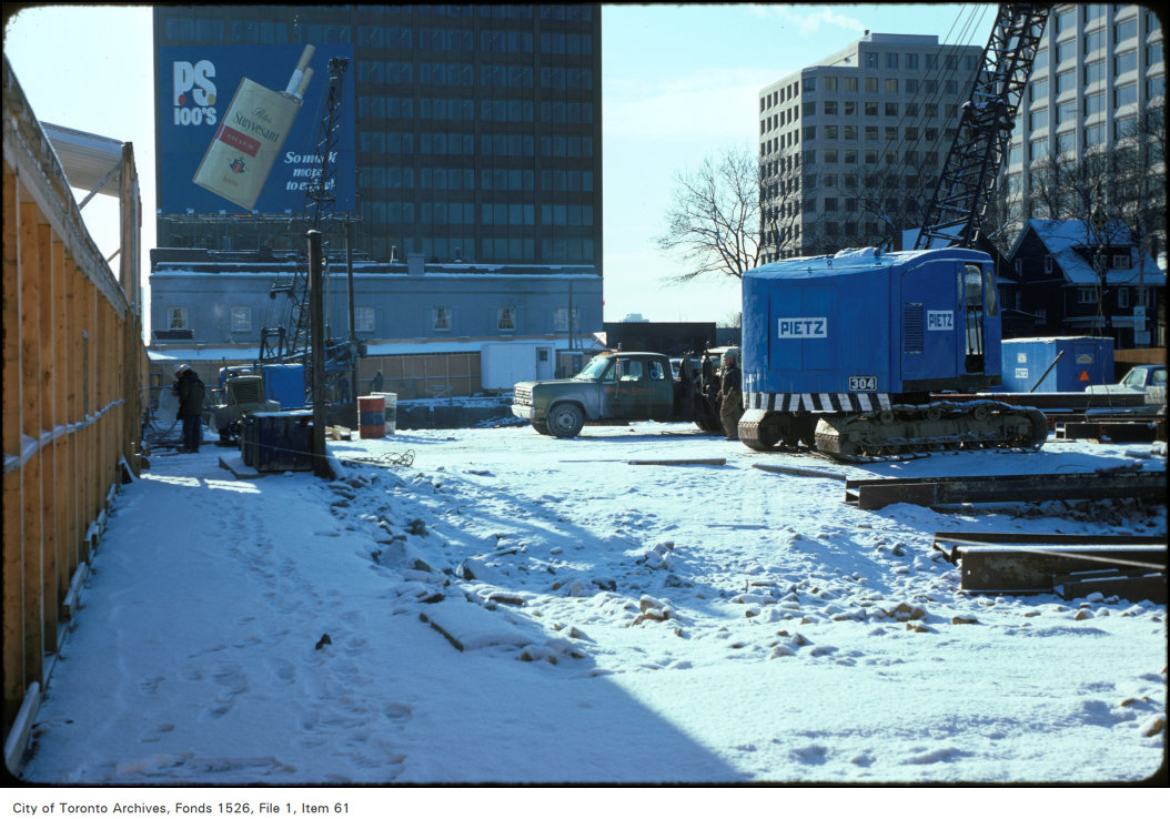
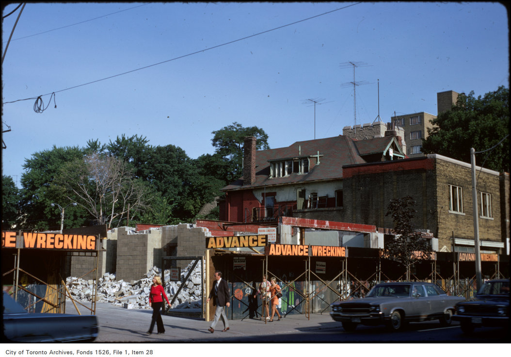
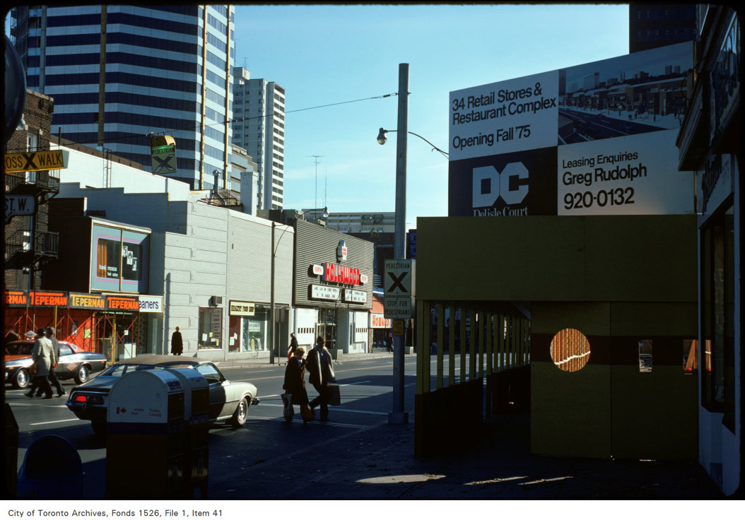

Photo locations are matched from each photo’s title against City street and address data, so some may be off. Report a wrong location