39 Jedburgh Rd
An address in Lawrence Park North, outside TRCA flood and shoreline hazard areas, with 15 active development applications within 250 metres.
Data as of Nov 8, 2026 · Every item lists its source
- Outside TRCA flood and shoreline hazard areas.
- 15 active development applications and 4 Committee of Adjustment applications within 250 m.
01The building
Recent permits (1)
- Other(SR) · Closed · Jul 21, 2022
Proposed remediation of water damaged structure on second floor north exterior wall and segmented floor joists also damaged by progressive water ingress. · Permit 22 169976 BLD
02Risks and the ground
TRCA mapping is for screening, not site-specific decisions. Lead results are voluntary samples from homes in the postal area, not this address.
03What’s changing nearby
- 13186 Yonge St · 187 m · Site Plan · OMB ApprovedSite Plan Control Application to permit the construction of an 14-storey mixed used building with a total of 77 proposed residential units and proposed ground level commercial space of 400 square metres. The proposed gross floor area of…File 21 162972 NNY 08 SA · submitted May 31, 2021 · City record
- 23186 Yonge St · 187 m · Condominium · Under Review*** Draft Plan of Condominium for 109 units.File 21 231950 NNY 08 CD · submitted Oct 29, 2021 · City record
- 33180 Yonge St · 188 m · Site Plan · OMB ApprovedSite Plan Control Application to permit the construction of an 14-storey mixed used building with a total of 77 proposed residential units and proposed ground level commercial space of 400 square metres. The proposed gross floor area of…File 21 162972 NNY 08 SA · submitted May 31, 2021 · City record
- 43180 Yonge St · 188 m · Condominium · Under Review*** Draft Plan of Condominium for 109 units.File 21 231950 NNY 08 CD · submitted Oct 29, 2021 · City record
- 53180-3182 Yonge St · 191 m · Condominium · Under Review*** Draft Plan of Condominium for 109 units.File 21 231950 NNY 08 CD · submitted Oct 29, 2021 · City record
- 63180-3182 Yonge St · 191 m · Site Plan · OMB ApprovedSite Plan Control Application to permit the construction of an 14-storey mixed used building with a total of 77 proposed residential units and proposed ground level commercial space of 400 square metres. The proposed gross floor area of…File 21 162972 NNY 08 SA · submitted May 31, 2021 · City record
- 73184 Yonge St · 192 m · Site Plan · OMB ApprovedSite Plan Control Application to permit the construction of an 14-storey mixed used building with a total of 77 proposed residential units and proposed ground level commercial space of 400 square metres. The proposed gross floor area of…File 21 162972 NNY 08 SA · submitted May 31, 2021 · City record
- 83184 Yonge St · 192 m · Condominium · Under Review*** Draft Plan of Condominium for 109 units.File 21 231950 NNY 08 CD · submitted Oct 29, 2021 · City record
- 93188 Yonge St · 195 m · Site Plan · OMB ApprovedSite Plan Control Application to permit the construction of an 14-storey mixed used building with a total of 77 proposed residential units and proposed ground level commercial space of 400 square metres. The proposed gross floor area of…File 21 162972 NNY 08 SA · submitted May 31, 2021 · City record
- 103188 Yonge St · 195 m · Condominium · Under Review*** Draft Plan of Condominium for 109 units.File 21 231950 NNY 08 CD · submitted Oct 29, 2021 · City record
- 113190 Yonge St · 196 m · Condominium · Under Review*** Draft Plan of Condominium for 109 units.File 21 231950 NNY 08 CD · submitted Oct 29, 2021 · City record
- 123190 Yonge St · 196 m · Site Plan · OMB ApprovedSite Plan Control Application to permit the construction of an 14-storey mixed used building with a total of 77 proposed residential units and proposed ground level commercial space of 400 square metres. The proposed gross floor area of…File 21 162972 NNY 08 SA · submitted May 31, 2021 · City record
Development Applications; Committee of Adjustment Applications · 3 registered short-term rentals within 250 m.
04City services
05Quick answers about 39 Jedburgh Rd
Is 39 Jedburgh Rd in a flood plain?
No. It is outside TRCA's mapped flood and shoreline hazard areas. Source: TRCA Regulation mapping 2025.
What is being built near 39 Jedburgh Rd?
15 active development applications within 250 metres, the closest at 3186 Yonge St (187 m). Source: Development Applications.
When is garbage day at 39 Jedburgh Rd?
Collection calendar Thursday 2. Next garbage pickup: Nov 12, 2026. Source: Solid Waste Collection Schedule.
Answers are generated from the data on this page and update when the data changes.
06From the archives


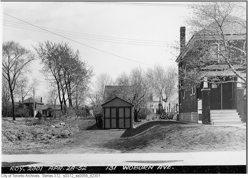
Photo locations are matched from each photo’s title against City street and address data, so some may be off. Report a wrong location