Skip to content
My Address in Toronto
Address report

39 Old Mill Rd

A registered apartment building built in 1966 with a RentSafe score of 100, outside TRCA flood and shoreline hazard areas, with no active development applications within 250 metres.

Data as of Nov 8, 2026 · Every item lists its source

Follow this address
Key findings
  • RentSafe evaluation score of 100 out of 100 (evaluated Nov 24, 2025).
  • No fire code violations in open inspections.
  • Outside TRCA flood and shoreline hazard areas.
RentSafe score100out of 100
Fire code violations0in open inspections
Applications0active within 250 m
Flood hazardOutsideTRCA mapping
Riverside DrTraymore CresOld Mill TrlOld Mill TerCatherine StOld Mill DrRiverview GdnsOld Mill RdBloor St WMap data: City of Toronto (Toronto Centreline)
The red circle shows the 250-metre radius used for “Nearby” items. Numbers match the applications listed below.

01The building

ItemFindingPrecisionSource · as of
RentSafe evaluation100 / 100This addressApartment Building Evaluation · evaluated Nov 24, 2025
Building24 storeys · 148 units · built 1966This addressApartment Building Evaluation
Fire code inspectionsNo violations in open inspectionsThis addressResidential Fire Inspection Results · last opened Jan 16, 2026
Building orders and noticesNone on recordThis addressBuilding Construction/Demolition Violations
Building permits, last 5 years1 permitThis addressBuilding Permits · 2 on record
Short-term rentalNot registeredThis addressShort Term Rentals Registration
Heritage statusNot on the Heritage RegisterThis addressHeritage Register
Recent permits (2)
  • Sign Building Permit Related · Inspection · Dec 28, 2022
    Application for a permit to erect and display one first party non-illuminated ground sign, displaying static copy. erected at the west frontage facing old Mill Trail. The sign has one sign face… · Permit 22 239982 DST
  • Other(BA) · Inspection · Sep 11, 2014
    Proposal to install a new external emergency generator. · Permit 14 216066 BLD

02Risks and the ground

ItemFindingPrecisionSource · as of
River flood hazardOutsideThis addressTRCA Regulation mapping 2025
Lake shoreline hazardOutsideThis addressTRCA Regulation mapping 2025
TRCA regulated areaOutsideThis addressTRCA Regulation mapping 2025
Basement flooding study areaBFA51Your areaBasement Flooding Study Areas · the City divides all of Toronto into study areas; this names yours, not a risk level
Lead in tap water samples, postal area M8X0 of 59 above 0.01 ppmYour area · M8XNon Regulated Lead Sample · May 22, 2014 to Apr 10, 2026

TRCA mapping is for screening, not site-specific decisions. Lead results are voluntary samples from homes in the postal area, not this address.

03What’s changing nearby

No active development or Committee of Adjustment applications within 250 metres.

Development Applications; Committee of Adjustment Applications · 0 registered short-term rentals within 250 m.

04City services

ItemFindingPrecisionSource · as of
Garbage dayNovember 10, 2026This addressCollection calendar Tuesday 2
Next recyclingNovember 17, 2026This addressSolid Waste Collection Schedule
City councillorAmber MorleyWard 3Councillor_Morley@toronto.ca · 416-397-9273

05Quick answers about 39 Old Mill Rd

Is 39 Old Mill Rd in a flood plain?

No. It is outside TRCA's mapped flood and shoreline hazard areas. Source: TRCA Regulation mapping 2025.

Does 39 Old Mill Rd have open fire code violations?

No. The City's fire inspection records show no violations in open inspections. Source: Residential Fire Inspection Results.

What is being built near 39 Old Mill Rd?

0 active development applications within 250 metres. Source: Development Applications.

When is garbage day at 39 Old Mill Rd?

Collection calendar Tuesday 2. Next garbage pickup: Nov 10, 2026. Source: Solid Waste Collection Schedule.

Answers are generated from the data on this page and update when the data changes.

06From the archives

Old Mill Rd., looking w. to bridge across Humber R. betw. Catherine St. & Old Mill Rd., with Bloor St. bridge in background; taken from w. end. of Lessard Ave., showing Belt Line right-of-way in foreground, Toronto, Ont.
Old Mill Rd., looking w. to bridge across Humber R. betw. Catherine St. & Old Mill Rd., with Bloor St. bridge in background; taken from w. end. of Lessard Ave., showing Belt Line right-of-way in foreground, Toronto, Ont. , 1925. Courtesy of Toronto Public Library. 112 m away.
Old Mill Rd., looking s.w. to bridge (built 1916) across Humber R. betw. Catherine St. & Old Mill Rd.; Bloor St. W. bridge over Humber R. in background, Toronto, Ont.
Old Mill Rd., looking s.w. to bridge (built 1916) across Humber R. betw. Catherine St. & Old Mill Rd.; Bloor St. W. bridge over Humber R. in background, Toronto, Ont. , 1928. Courtesy of Toronto Public Library. 112 m away.
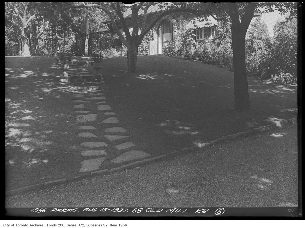
68 Old Mill Road
68 Old Mill Road, 1937. City of Toronto Archives, Fonds 200, Series 372, Subseries 52, Item 1956. 246 m away.
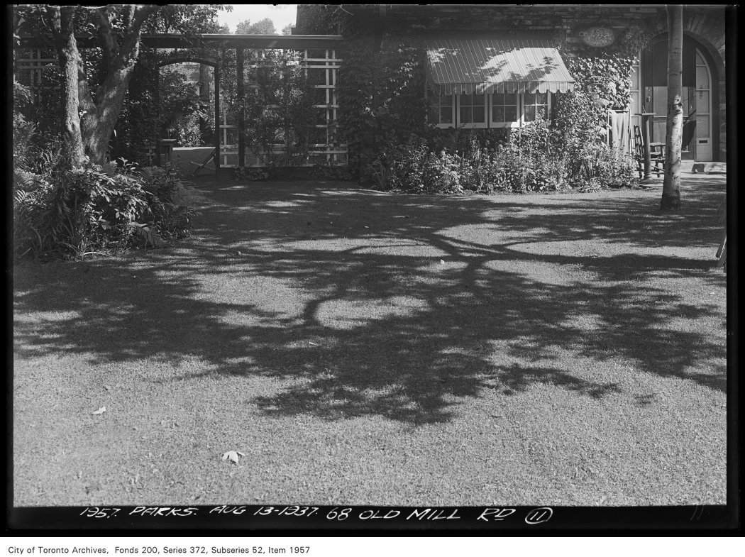
68 Old Mill Road
68 Old Mill Road, 1937. City of Toronto Archives, Fonds 200, Series 372, Subseries 52, Item 1957. 246 m away.
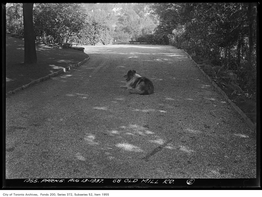
68 Old Mill Road
68 Old Mill Road, 1937. City of Toronto Archives, Fonds 200, Series 372, Subseries 52, Item 1955. 246 m away.

Photo locations are matched from each photo’s title against City street and address data, so some may be off. Report a wrong location

39 Old Mill Rd, Toronto — address report · My Address in Toronto