390 Cherry St
An address in St Lawrence-East Bayfront-The Islands, outside TRCA flood and shoreline hazard areas, with 13 active development applications within 250 metres.
Data as of Nov 8, 2026 · Every item lists its source
- 12 fire code violations recorded in open inspections (most recent opened May 20, 2026).
- Outside TRCA flood and shoreline hazard areas.
- 13 active development applications and 1 Committee of Adjustment application within 250 m.
01The building
Open fire code items (10)
- 1.1.2.1./2.7.3.3.(3) Records of Test (Emergency Lighting) · opened May 20, 2026
- 1.1.2.1./6.2.7.5. Records of Test (Fire Extinguishers) · opened May 20, 2026
- 1.1.2.1./6.5.5.3. Records of Test (Water Flow Test) · opened May 20, 2026
- 1.1.2.1./6.7.1.1. Records of Test (Emergency Power Systems) · opened May 20, 2026
- 1.1.2.1./6.3.2.6. Records of Test (Smoke Alarms) · opened May 20, 2026
- Fire department connections · opened May 20, 2026
- S.30 - INSPECTION ORDER · opened May 20, 2026
- 1.1.2.1./6.3.2.2. Records of Test (Fire Alarm) · opened May 20, 2026
- 1.1.2.1./6.4.3.7.(1) Records of Test (Standpipe - FD Connections) · opened May 20, 2026
- 1.1.2.1./6.6.3.5. Records of Test (Fire Pump) · opened May 20, 2026
Recent permits (8)
- Interior Alterations · Closed · Oct 17, 2023
Revision - Proposal for new WC layoutThis project would include the change of use from Mercantile to Assembly A2, with max occupancy of 100. The work would include accommodating a new micro-brewery… · Permit 22 240364 BLD - Building Permit Related(MS) · Closed · Oct 17, 2023
Revision - Proposal for new WC layoutHVAC - This project would include the change of use from Mercantile to Assembly A2, with max occupancy of 100. The work would include accommodating a new… · Permit 22 240364 HVA - Building Permit Related(PS) · Closed · Oct 17, 2023
Revision - Proposal for new WC layoutPlumbing - This project would include the change of use from Mercantile to Assembly A2, with max occupancy of 100. The work would include accommodating a new… · Permit 22 240364 PLB - Building Permit Related(MS) · Permit Issued · Jul 19, 2023
HVAC - Washroom relocation and accessibility upgrades to provide barrier free washroom to 45 Tankhouse Lane suite. Proposed work to be done in conjunction with 43 Tankhouse Lane project (Building… · Permit 23 156201 HVA - Building Permit Related(PS) · Permit Issued · Jun 20, 2023
Plumbing - Washroom relocation and accessibility upgrades to provide barrier free washroom to 45 Tankhouse Lane suite. Proposed work to be done in conjunction with 43 Tankhouse Lane project… · Permit 23 156201 PLB - Interior Alterations · Work Not Started · Jun 19, 2023
Washroom relocation and accessibility upgrades to provide barrier free washroom to 45 Tankhouse Lane suite. Proposed work to be done in conjunction with 43 Tankhouse Lane project (Building Permit… · Permit 23 156201 BLD - Interior Alterations · Closed · Jun 19, 2023
This project would include the change of use from Mercantile to Assembly A2, with max occupancy of 100. The work would include accommodating a new micro-brewery and tap room, washrooms, south… · Permit 22 240364 BLD - Building Permit Related(MS) · Closed · Jun 19, 2023
HVAC - This project would include the change of use from Mercantile to Assembly A2, with max occupancy of 100. The work would include accommodating a new micro-brewery and tap room, washrooms, south… · Permit 22 240364 HVA
02Risks and the ground
TRCA mapping is for screening, not site-specific decisions. Lead results are voluntary samples from homes in the postal area, not this address.
03What’s changing nearby
- 1125R Mill St · 206 m · Site Plan · Under ReviewA Site Plan application to facilitate the development of the site for 45-storey and 32-storey mixed-use towers atop a 6-storey podium. A total of 23,670square metres of non-residential gross floor area, and 53,099 square metres of…File 21 137958 STE 10 SA · submitted Apr 9, 2021 · City record
- 290 Eastern Ave · 213 m · Site Plan · Under ReviewSite Plan Control Application to facilitate the development of the site with two mixed use buildings: 59 and 55 storeys, containing 1,284 dwelling units and 1,662 square metres of non-residential gross floor area.File 25 242829 STE 13 SA · submitted Oct 21, 2025 · City record
- 3153 Eastern Ave · 218 m · Site Plan · Under ReviewProposal for three buildings based on an approved Municipal Zoning Order. A total of 997 dwelling units, including 282 affordable rental dwelling units (approximately 28% of the total), a 955 square metre community space and 505 square…File 23 126078 STE 13 SA · submitted Mar 23, 2023 · City record
- 42 A Sumach St · 221 m · Site Plan · Under ReviewSite Plan Control Application to facilitate the development of the site with two mixed use buildings: 59 and 55 storeys, containing 1,284 dwelling units and 1,662 square metres of non-residential gross floor area.File 25 242829 STE 13 SA · submitted Oct 21, 2025 · City record
- 54 Sumach St · 230 m · Site Plan · Under ReviewSite Plan Control Application to facilitate the development of the site with two mixed use buildings: 59 and 55 storeys, containing 1,284 dwelling units and 1,662 square metres of non-residential gross floor area.File 25 242829 STE 13 SA · submitted Oct 21, 2025 · City record
- 6495 Front St E · 234 m · Official Plan / Rezoning · Under ReviewZoning By-law Amendment application for a mixed use building ranging in height from 7 to 13-storeys, with a 31-storey tower located at the south-west corner of the site. The proposed development includes 859 dwelling units, 963 square…File 22 137892 STE 13 OZ · submitted Apr 25, 2022 · City record
- 7495 Front St E · 234 m · Site Plan · Under ReviewSite Plan Control application for a mixed use building ranging in height from 7 to 13-storeys, with a 31-storey tower located at the south-west corner of the site. The proposed development includes 859 dwelling units, 963 square metres of…File 22 137890 STE 13 SA · submitted Apr 25, 2022 · City record
- 86 Sumach St · 236 m · Site Plan · Under ReviewSite Plan Control Application to facilitate the development of the site with two mixed use buildings: 59 and 55 storeys, containing 1,284 dwelling units and 1,662 square metres of non-residential gross floor area.File 25 242829 STE 13 SA · submitted Oct 21, 2025 · City record
- 91 Sumach St · 237 m · Site Plan · Under ReviewSite Plan Control Application to facilitate the development of the site with two mixed use buildings: 59 and 55 storeys, containing 1,284 dwelling units and 1,662 square metres of non-residential gross floor area.File 25 242829 STE 13 SA · submitted Oct 21, 2025 · City record
- 101 Sumach St · 237 m · Official Plan / Rezoning · Under ReviewLift the (H)File 26 239852 STE 13 OZ · submitted Sep 18, 2026 · City record
- 118 Sumach St · 241 m · Site Plan · Under ReviewSite Plan Control Application to facilitate the development of the site with two mixed use buildings: 59 and 55 storeys, containing 1,284 dwelling units and 1,662 square metres of non-residential gross floor area.File 25 242829 STE 13 SA · submitted Oct 21, 2025 · City record
- 12169 Eastern Ave · 244 m · Site Plan · Under ReviewProposal for three buildings based on an approved Municipal Zoning Order. A total of 997 dwelling units, including 282 affordable rental dwelling units (approximately 28% of the total), a 955 square metre community space and 505 square…File 23 126078 STE 13 SA · submitted Mar 23, 2023 · City record
Development Applications; Committee of Adjustment Applications · 2 registered short-term rentals within 250 m.
04City services
05Quick answers about 390 Cherry St
Is 390 Cherry St in a flood plain?
No. It is outside TRCA's mapped flood and shoreline hazard areas. Source: TRCA Regulation mapping 2025.
Does 390 Cherry St have open fire code violations?
12 violations are recorded in open fire inspections, the most recent opened May 20, 2026. Source: Residential Fire Inspection Results.
What is being built near 390 Cherry St?
13 active development applications within 250 metres, the closest at 125R Mill St (206 m). Source: Development Applications.
When is garbage day at 390 Cherry St?
Collection calendar Wednesday 1. Next garbage pickup: Nov 18, 2026. Source: Solid Waste Collection Schedule.
Answers are generated from the data on this page and update when the data changes.
06From the archives
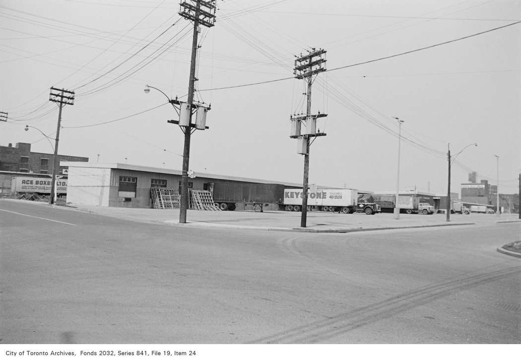

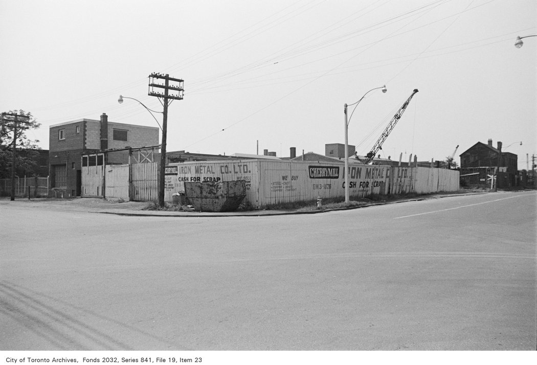
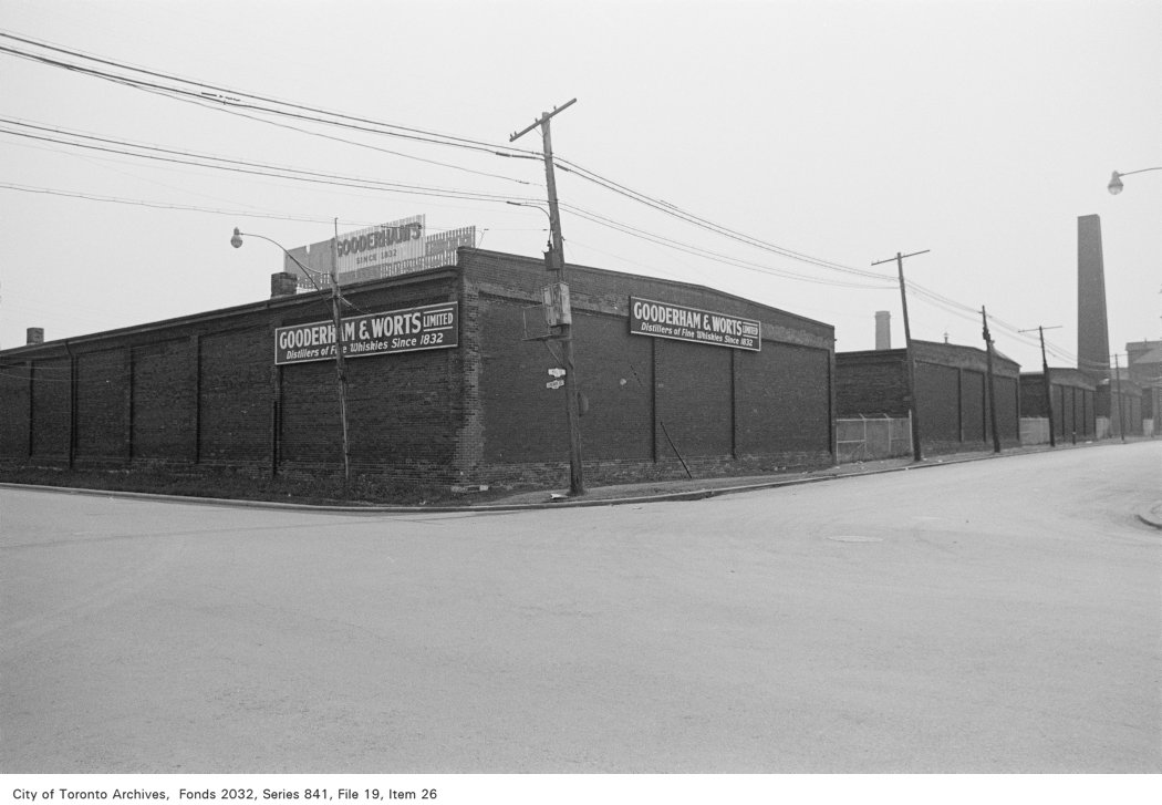
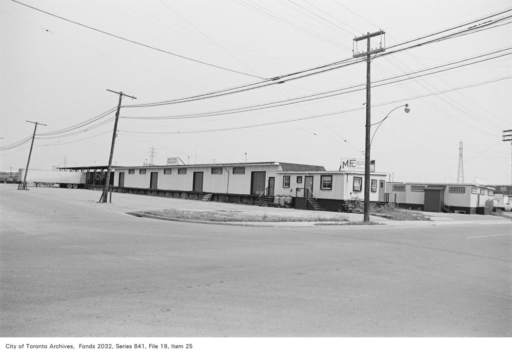

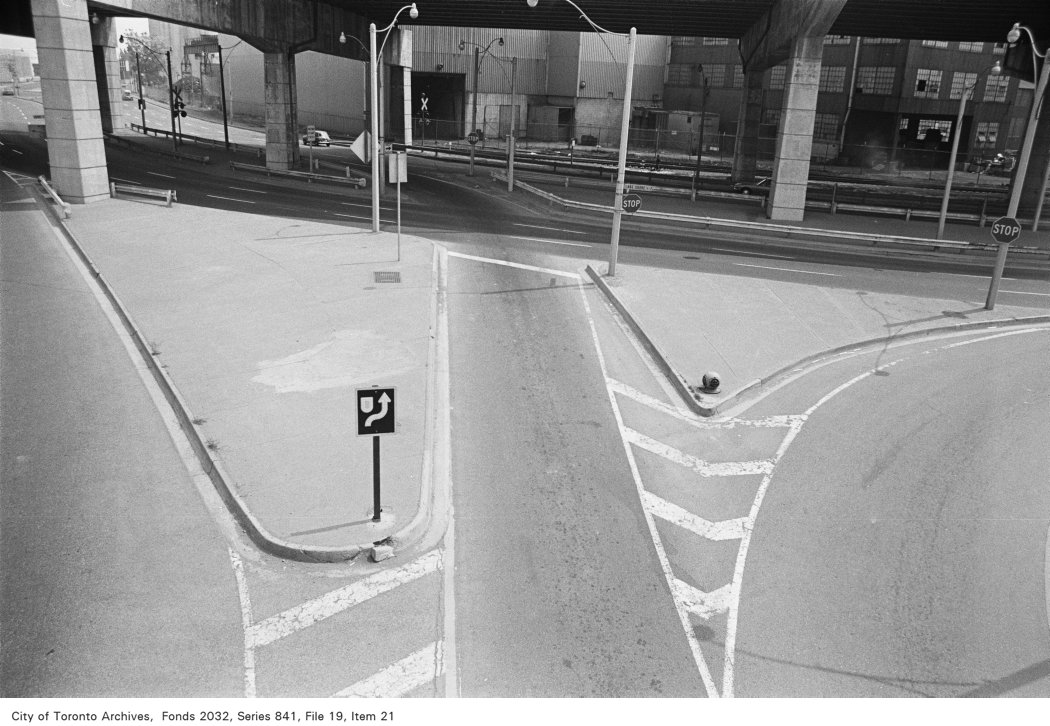
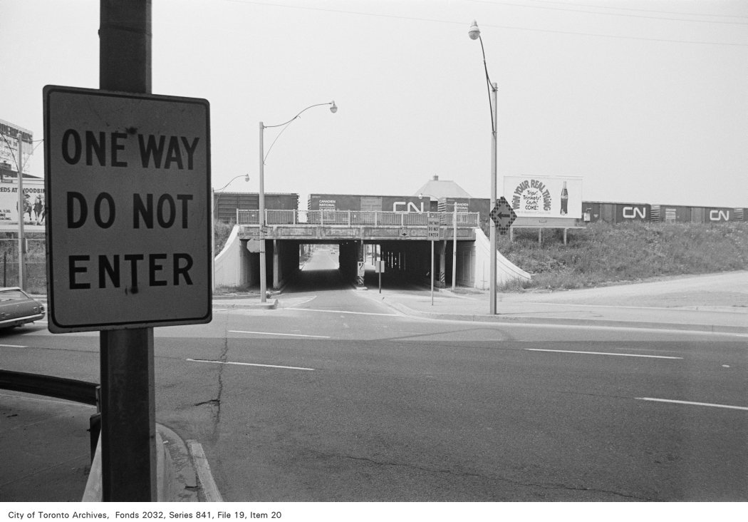
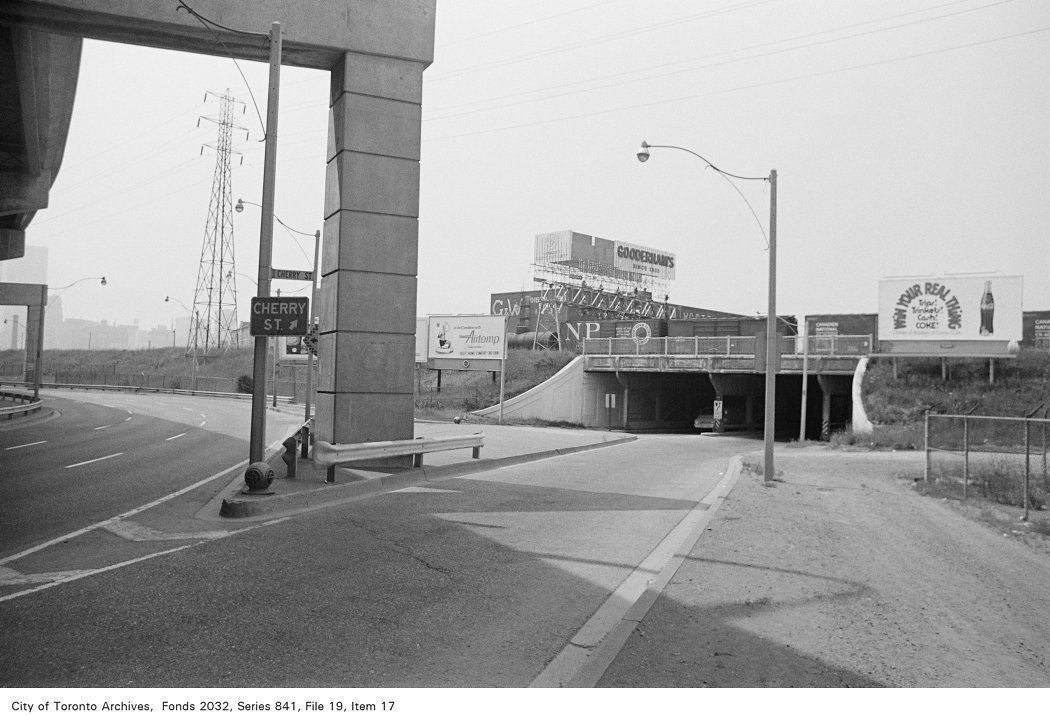
Photo locations are matched from each photo’s title against City street and address data, so some may be off. Report a wrong location