41 Roehampton Ave
An address in North Toronto, outside TRCA flood and shoreline hazard areas, with 15 active development applications within 250 metres.
Data as of Nov 8, 2026 · Every item lists its source
- Outside TRCA flood and shoreline hazard areas.
- 15 active development applications and 1 Committee of Adjustment application within 250 m.
01The building
Recent permits (2)
- Sign Building Permit Related · Cancelled · May 6, 2021
To erect and display one illuminated.***e2*** · Permit 21 150946 DST - Demolition · Closed · Aug 24, 2018
Proposal for demolition of existing 2 1/2 storey private school building. See also 16 269639 SA. · Permit 18 154704 DEM
02Risks and the ground
TRCA mapping is for screening, not site-specific decisions. Lead results are voluntary samples from homes in the postal area, not this address.
03What’s changing nearby
- 114 Broadway Ave · 55 m · Site Plan · Under ReviewSite Plan Control contemplates a 5 storey Catholic Elementary School with 88 pupil place childcare and a 45 space underground parking to replace existing Catholic Elementary School.File 25 139649 NNY 15 SA · submitted Apr 4, 2025 · City record
- 244 Broadway Ave · 71 m · Subdivision · Under ReviewDraft Plan of Subdivision for 4 stratified development blocks. Related to File No. 19 194902 NNY 15 OZ.File 21 232455 NNY 15 SB · submitted Oct 31, 2021 · City record
- 344 Broadway Ave · 71 m · Site Plan · Under ReviewSite Plan Approval application for a mixed-use building which includes the replacement of the existing place of worship (St. Monica's Church) with a new church building and constructs a 39-storey residential tower behind (north of) the…File 22 132571 NNY 15 SA · submitted Apr 8, 2022 · City record
- 440 Broadway Ave · 71 m · Subdivision · Under ReviewDraft Plan of Subdivision for 4 stratified development blocks. Related to File No. 19 194902 NNY 15 OZ.File 21 232455 NNY 15 SB · submitted Oct 31, 2021 · City record
- 540 Broadway Ave · 71 m · Site Plan · Under ReviewSite Plan Approval application for a mixed-use building which includes the replacement of the existing place of worship (St. Monica's Church) with a new church building and constructs a 39-storey residential tower behind (north of) the…File 22 132571 NNY 15 SA · submitted Apr 8, 2022 · City record
- 655 Erskine Ave · 147 m · Site Plan · NOAC IssuedLPAT settlement and revised proposal for an 11-storey rental residential building, fronting onto Broadway Avenue which steps down in height towards Broadway Avenue. The site includes a new public park (284.2 sq. m in size). The proposed…File 17 145080 NNY 25 SA · submitted Apr 18, 2017 · City record
- 72345 Yonge St · 150 m · Subdivision · Under ReviewDraft Plan of Subdivision to create 3 development blocks.File 21 220607 STE 12 SB · submitted Oct 1, 2021 · City record
- 82345 Yonge St · 150 m · Official Plan / Rezoning · OMB AppealZoning By-law and Official Plan Amendment application to permit the redevelopment of the site with 54 and 56-storey towers, joined by a 10-storey residential podium with ground floor retail. The proposed buildings will include…File 21 220609 STE 12 OZ · submitted Oct 1, 2021 · City record
- 977 Erskine Ave · 161 m · Site Plan · Under ReviewProposal to demolish the existing 4-storey rental apartment and construct a new 35-storey residential building containing 377 residential units, including 36 replacement rental dwelling units. The proposal consists of 23,973.0 sq. m of…File 22 205739 NNY 15 SA · submitted Sep 19, 2022 · City record
- 1077 Erskine Ave · 161 m · Official Plan / Rezoning · OMB ApprovedProposal to demolish the existing 4-storey rental apartment and construct a new 35-storey residential building containing 377 residential units, including 37 replacement rental dwelling units. The proposal consists of 23,973.0 sq. m of…File 22 205741 NNY 15 OZ · submitted Sep 19, 2022 · City record
- 112329 Yonge St · 205 m · Site Plan · Under ReviewSite Plan Approval for a 34 storey mixed-use buildingFile 21 219447 STE 12 SA · submitted Sep 29, 2021 · City record
- 122329 Yonge St · 205 m · Subdivision · Under ReviewDraft plan of subdivision for 3 development blocks.File 21 219445 STE 12 SB · submitted Sep 29, 2021 · City record
Development Applications; Committee of Adjustment Applications · 22 registered short-term rentals within 250 m.
04City services
05Quick answers about 41 Roehampton Ave
Is 41 Roehampton Ave in a flood plain?
No. It is outside TRCA's mapped flood and shoreline hazard areas. Source: TRCA Regulation mapping 2025.
What is being built near 41 Roehampton Ave?
15 active development applications within 250 metres, the closest at 14 Broadway Ave (55 m). Source: Development Applications.
When is garbage day at 41 Roehampton Ave?
Collection calendar Wednesday 2. Next garbage pickup: Nov 11, 2026. Source: Solid Waste Collection Schedule.
Answers are generated from the data on this page and update when the data changes.
06From the archives
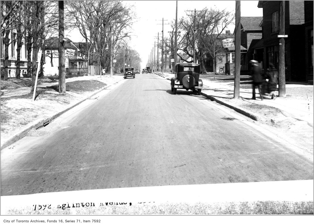

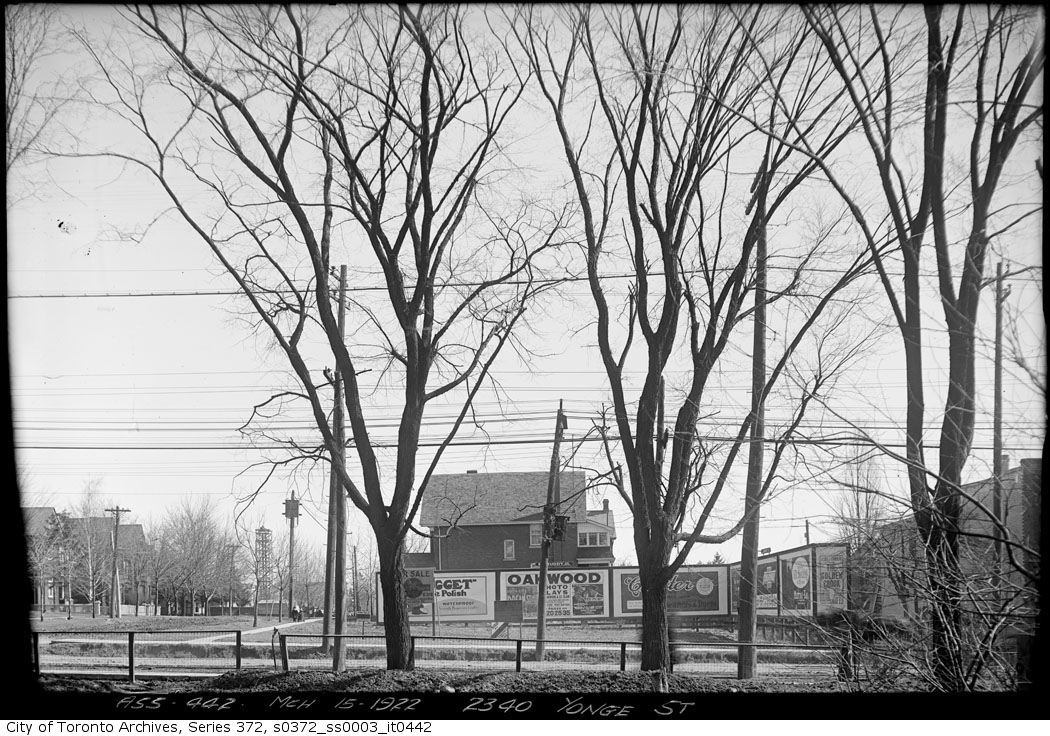
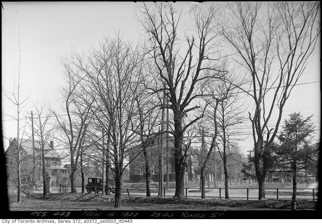
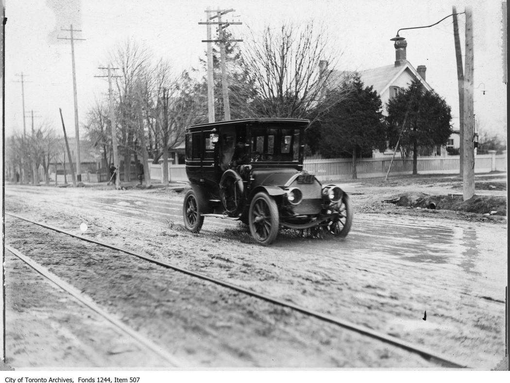
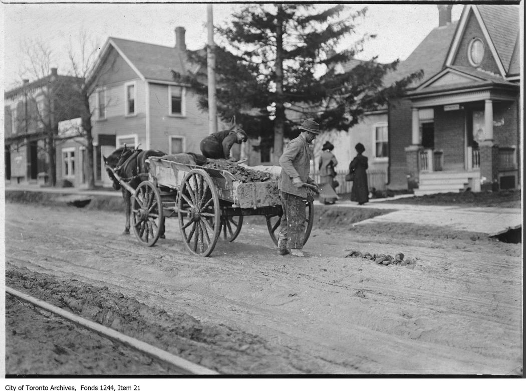
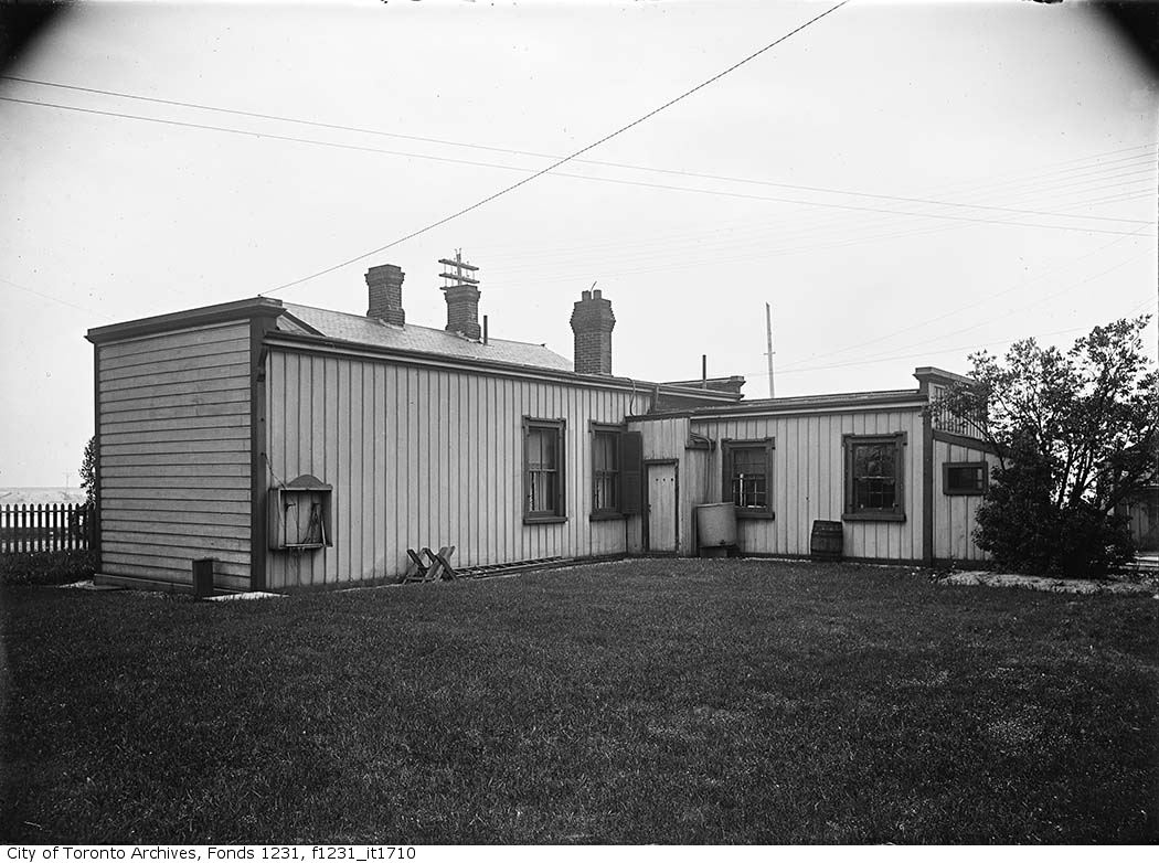
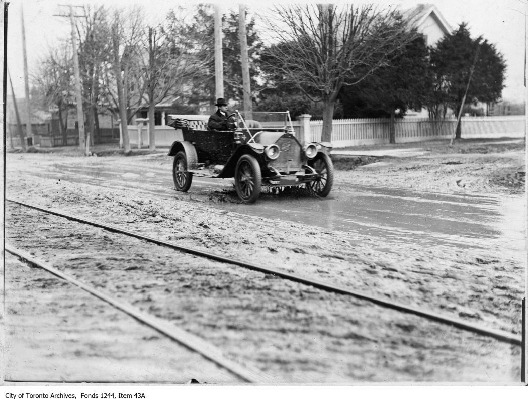
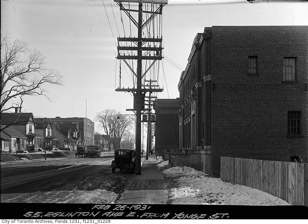
Photo locations are matched from each photo’s title against City street and address data, so some may be off. Report a wrong location