Skip to content
My Address in Toronto
Address report

47 Heath St E

An address in Rosedale-Moore Park, outside TRCA flood and shoreline hazard areas, with 2 active development applications within 250 metres.

Data as of Nov 7, 2026 · Every item lists its source

Follow this address
Key findings
  • Outside TRCA flood and shoreline hazard areas.
  • 2 active development applications and 2 Committee of Adjustment applications within 250 m.
RentSafe score—not a registered apartment building
Fire code violations—no inspection records
Applications4active within 250 m
Flood hazardOutsideTRCA mapping
Avoca AveFerndale AveAlvin AveHeath St ERose Park CresInglewood DrHeath CresOriole GdnsMallory GdnsGlen Elm AveLawton BlvdSt Clair Ave EYonge St1234Map data: City of Toronto (Toronto Centreline)
The red circle shows the 250-metre radius used for “Nearby” items. Numbers match the applications listed below.

01The building

ItemFindingPrecisionSource · as of
RentSafe evaluationNot a registered apartment buildingThis addressApartment Building Evaluation
Fire code inspectionsNo inspection recordsThis addressResidential Fire Inspection Results
Building orders and noticesNone on recordThis addressBuilding Construction/Demolition Violations
Building permits, last 5 years1 permitThis addressBuilding Permits · 1 on record
Short-term rentalNot registeredThis addressShort Term Rentals Registration
Heritage statusNot on the Heritage RegisterThis addressHeritage Register
Recent permits (1)
  • Inside and Outside Drains · Closed · Sep 16, 2026
    Cap existing sanitary building drain from 47 Heath St E. Connect new sanitary building drain connection to newly provided city sewer tie-in. · Permit 26 220105 STS

02Risks and the ground

ItemFindingPrecisionSource · as of
River flood hazardOutsideThis addressTRCA Regulation mapping 2025
Lake shoreline hazardOutsideThis addressTRCA Regulation mapping 2025
TRCA regulated areaOutsideThis addressTRCA Regulation mapping 2025
Basement flooding study areaBFA44Your areaBasement Flooding Study Areas · the City divides all of Toronto into study areas; this names yours, not a risk level
Lead in tap water samples, postal area M4T2 of 84 above 0.01 ppmYour area · M4TNon Regulated Lead Sample · Apr 22, 2014 to Jun 4, 2026

TRCA mapping is for screening, not site-specific decisions. Lead results are voluntary samples from homes in the postal area, not this address.

03What’s changing nearby

  1. 1
    1495 Yonge St · 197 m · Official Plan / Rezoning · OMB Appeal
    Application to amend the Official Plan and Zoning By-law to permit a mixed-use development consisting of four residential buildings 44, 39, 27, and 13-storeys, a new park at the northwest corner of the site, a courtyard privately owned…
    File 19 134851 STE 12 OZ · submitted Apr 3, 2019 · City record
  2. 2
    1495 Yonge St · 197 m · Subdivision · Under Review
    Draft Plan of Subdivision for 4 blocks.
    File 21 226522 STE 12 SB · submitted Oct 15, 2021 · City record
  3. 3
    47 Alvin Ave · 69 m · Committee of Adjustment · Minor variance · Postponed
    To alter the existing two-storey semi-detached dwelling by constructing a north side addition, south side addition, a south side basement walkout and re-constructing the rear deck.
    File A0594/21TEY · submitted Apr 25, 2021
  4. 4
    1560 Yonge St · 228 m · Committee of Adjustment · Minor variance · TLAB Appeal
    To construct a new three-storey non-residential building (including a mezzanine level), with various uses such as: adaptable spaces for community-oriented and commercial uses, a convertible auditorium space, an atrium gathering area,…
    File A0272/26TEY · submitted Apr 1, 2026

Development Applications; Committee of Adjustment Applications · 1 registered short-term rentals within 250 m.

04City services

ItemFindingPrecisionSource · as of
Garbage dayNovember 11, 2026This addressCollection calendar Wednesday 2
Next recyclingNovember 18, 2026This addressSolid Waste Collection Schedule
City councillorJosh MatlowWard 12councillor_matlow@toronto.ca · 416-392-7906

05Quick answers about 47 Heath St E

Is 47 Heath St E in a flood plain?

No. It is outside TRCA's mapped flood and shoreline hazard areas. Source: TRCA Regulation mapping 2025.

What is being built near 47 Heath St E?

2 active development applications within 250 metres, the closest at 1495 Yonge St (197 m). Source: Development Applications.

When is garbage day at 47 Heath St E?

Collection calendar Wednesday 2. Next garbage pickup: Nov 11, 2026. Source: Solid Waste Collection Schedule.

Answers are generated from the data on this page and update when the data changes.

06From the archives
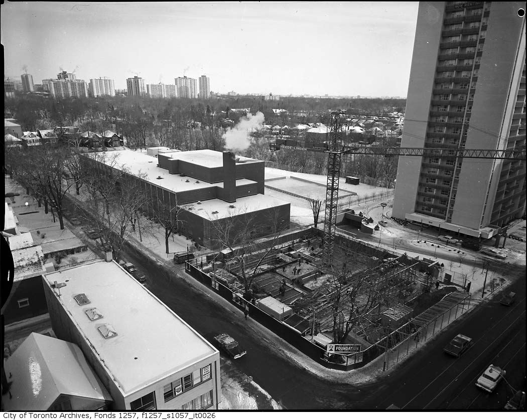
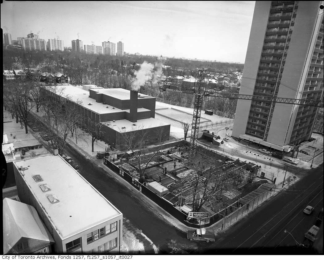
St. Clair Avenue East, at Ferndale Avenue
St. Clair Avenue East, at Ferndale Avenue, 1960. City of Toronto Archives, Fonds 1257, Series 1057, Item 26. 195 m away.
St. Clair Avenue East at Ferndale Avenue
St. Clair Avenue East at Ferndale Avenue, 1960. City of Toronto Archives, Fonds 1257, Series 1057, Item 27. 195 m away.
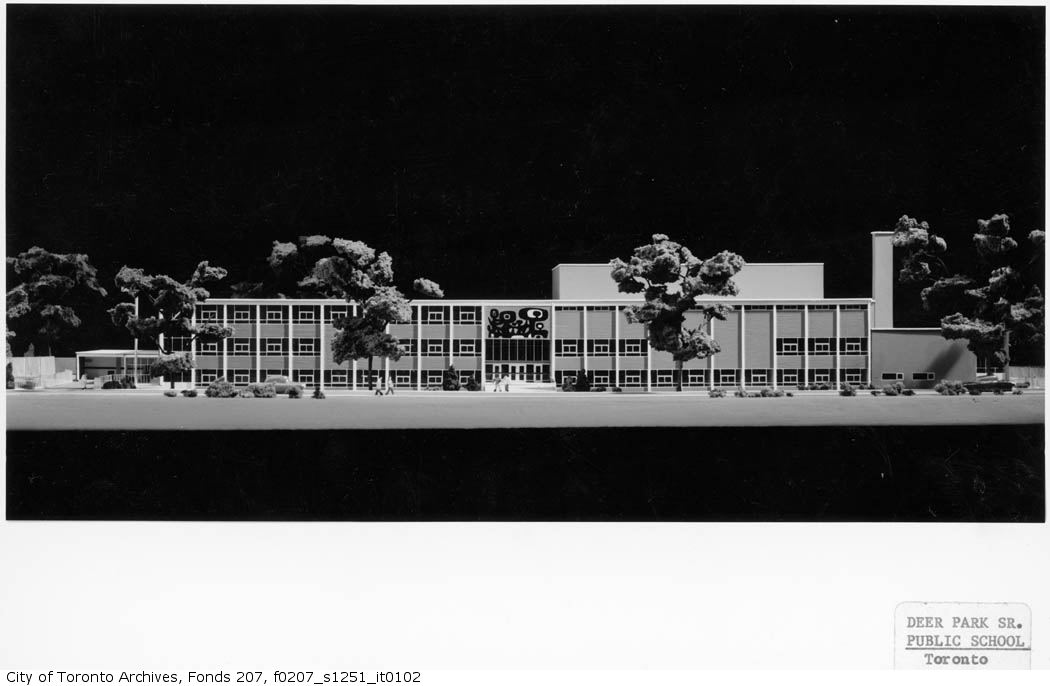
Pentland & Baker, Architects, Deer Park Senior Public School, St. Clair Ave. E. at Ferndale Ave., north-east corner : photo of architect's model
Pentland & Baker, Architects, Deer Park Senior Public School, St. Clair Ave. E. at Ferndale Ave., north-east corner : photo of architect's model, 1960. City of Toronto Archives, Fonds 207, Series 1251, Item 102. 195 m away.
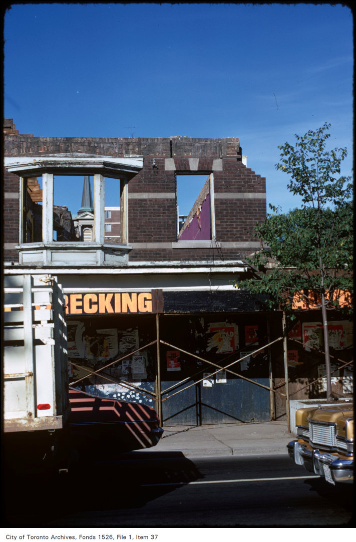
View of construction on west side of Yonge Street, south of Heath Street
View of construction on west side of Yonge Street, south of Heath Street, 1974. City of Toronto Archives, Fonds 1526, File 1, Item 37. 201 m away.
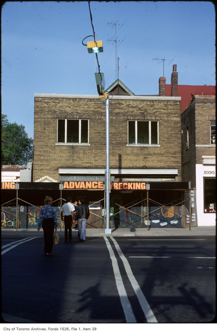
View of Yonge Street, south of Heath Street
View of Yonge Street, south of Heath Street, 1974. City of Toronto Archives, Fonds 1526, File 1, Item 29. 201 m away.
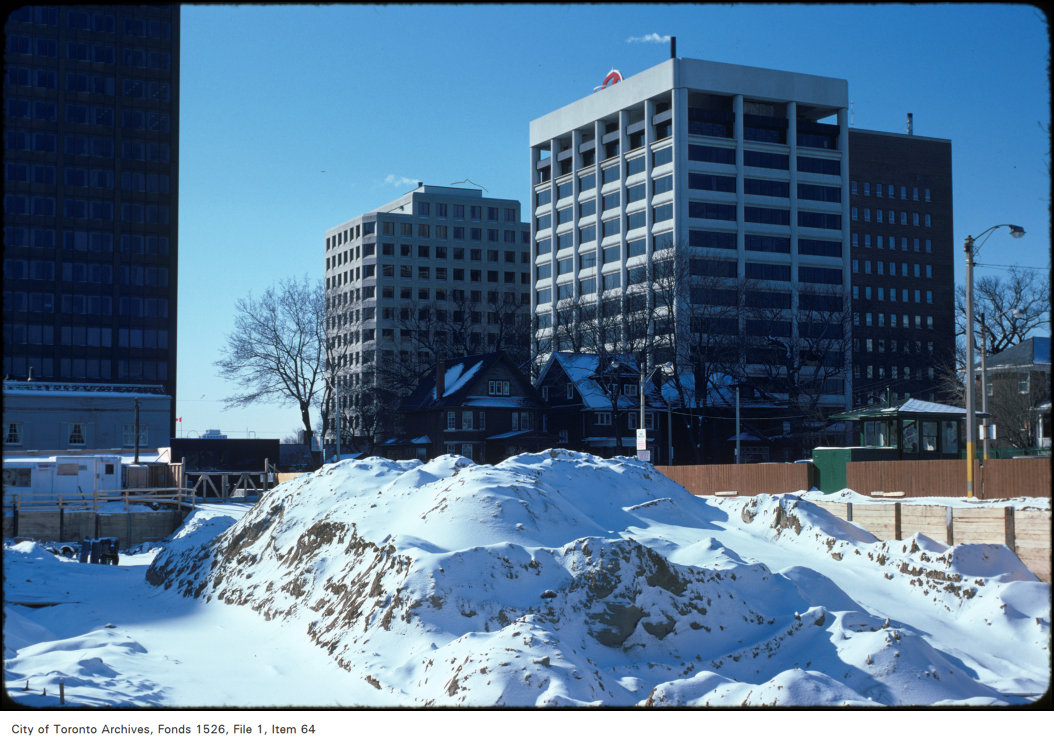
View of construction on the west side of Yonge Street, south of Heath Street
View of construction on the west side of Yonge Street, south of Heath Street, 1975. City of Toronto Archives, Fonds 1526, File 1, Item 64. 201 m away.
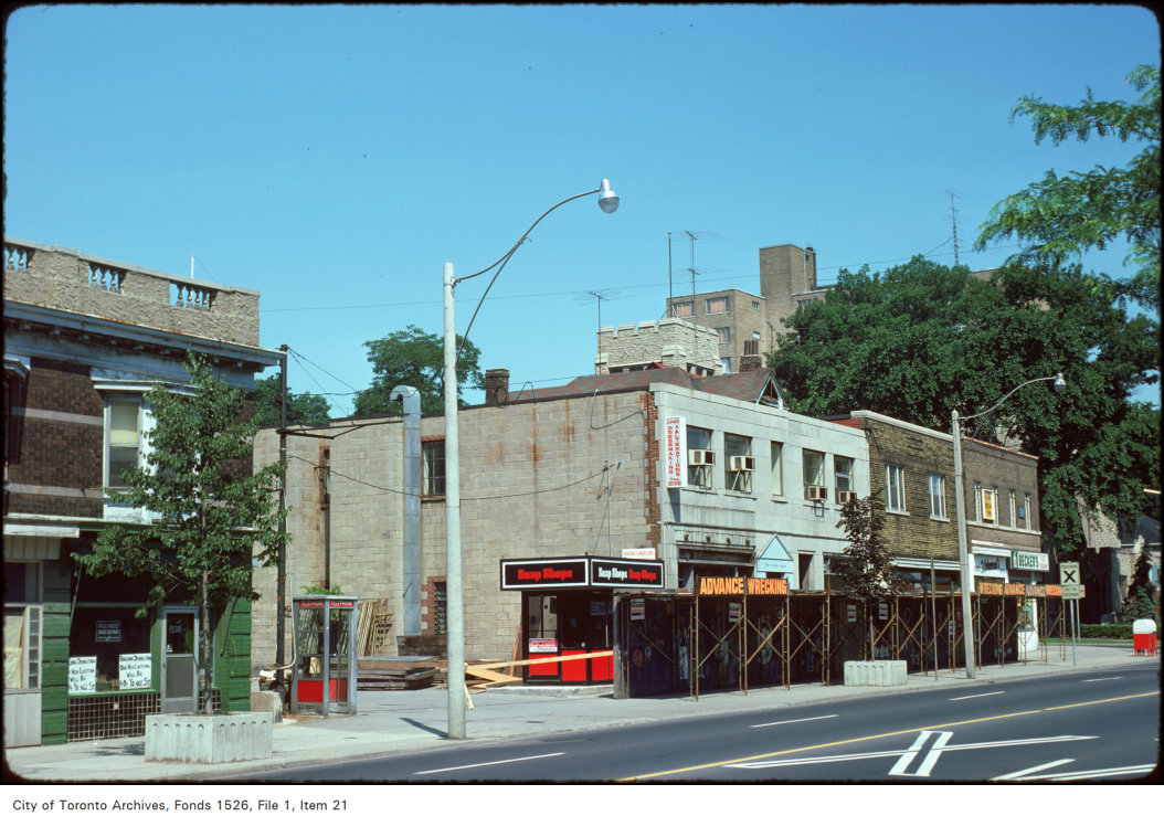
View of the west side of Yonge Street, south of Heath Street
View of the west side of Yonge Street, south of Heath Street, 1974. City of Toronto Archives, Fonds 1526, File 1, Item 21. 201 m away.
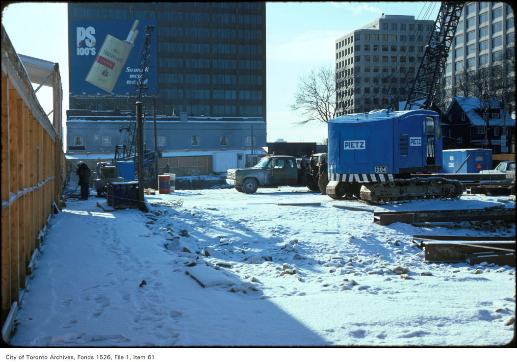
View of construction on the west side of Yonge Street, south of Heath Street
View of construction on the west side of Yonge Street, south of Heath Street, 1975. City of Toronto Archives, Fonds 1526, File 1, Item 61. 201 m away.
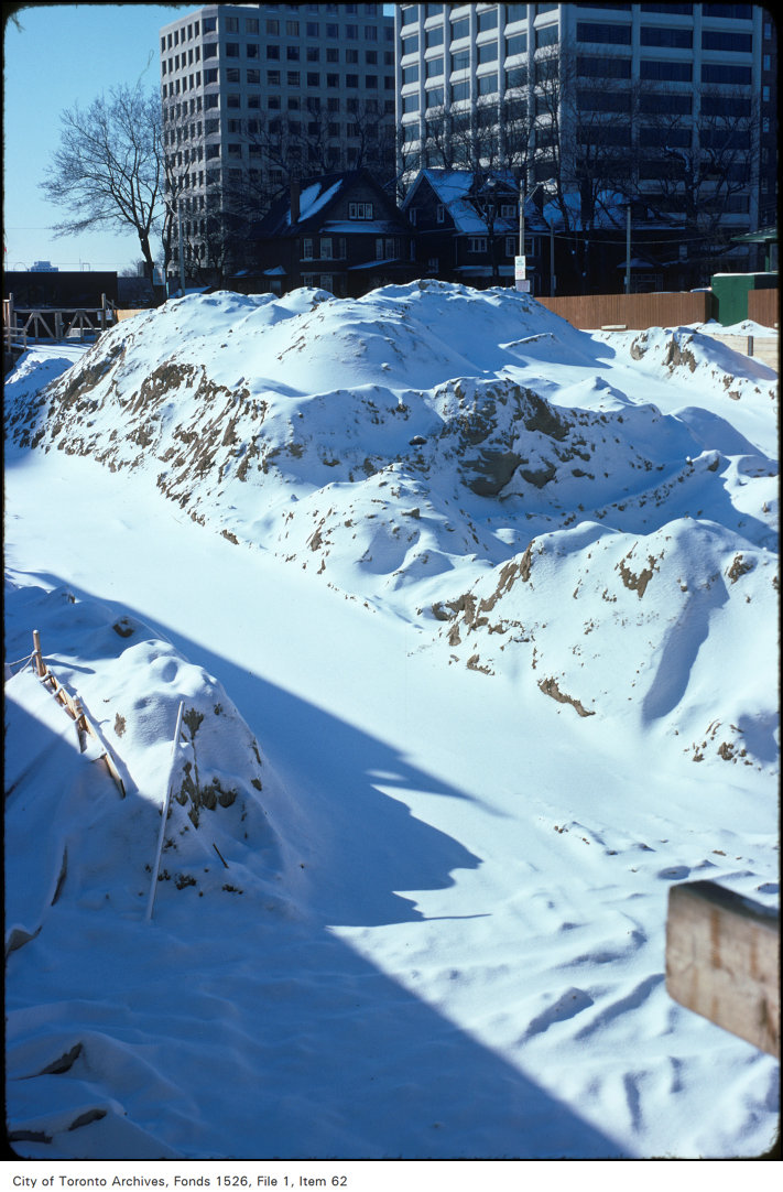
View of construction on the west side of Yonge Street, south of Heath Street
View of construction on the west side of Yonge Street, south of Heath Street, 1975. City of Toronto Archives, Fonds 1526, File 1, Item 62. 201 m away.

Photo locations are matched from each photo’s title against City street and address data, so some may be off. Report a wrong location

47 Heath St E, Toronto — address report · My Address in Toronto