47 Manor Rd E
An address in South Eglinton-Davisville, outside TRCA flood and shoreline hazard areas, with 4 active development applications within 250 metres.
Data as of Nov 7, 2026 · Every item lists its source
- Outside TRCA flood and shoreline hazard areas.
- 4 active development applications and 0 Committee of Adjustment applications within 250 m.
01The building
Recent permits (6)
- Building Permit Related(MS) · Closed · Nov 6, 2025
Rev 01HVAC - PROPOSED INTERIOR ALTERATIONS: GROUND FLOOR LOADBEARING WALL REMOVAL, KITCHEN NEW LAYOUT, STAIRWELL TO BASEMENT RECONFIG., NEW POWDER ROOM · Permit 25 204084 HVA - Building Permit Related(PS) · Closed · Oct 27, 2025
REV Plumbing - PROPOSED INTERIOR ALTERATIONS: GROUND FLOOR LOADBEARING WALL REMOVAL, KITCHEN NEW LAYOUT, STAIRWELL TO BASEMENT RECONFIG., NEW POWDER ROOM · Permit 25 204084 PLB - Interior Alterations · Closed · Oct 10, 2025
REV: Proposed Scope of work is attachedPROPOSED INTERIOR ALTERATIONS: GROUND FLOOR LOADBEARING WALL REMOVAL, KITCHEN NEW LAYOUT, STAIRWELL TO BASEMENT RECONFIG., NEW POWDER ROOM · Permit 25 204084 BLD - Building Permit Related(MS) · Closed · Sep 23, 2025
HVAC - PROPOSED INTERIOR ALTERATIONS: GROUND FLOOR LOADBEARING WALL REMOVAL, KITCHEN NEW LAYOUT, STAIRWELL TO BASEMENT RECONFIG., NEW POWDER ROOM · Permit 25 204084 HVA - Building Permit Related(PS) · Closed · Aug 8, 2025
Plumbing - PROPOSED INTERIOR ALTERATIONS: GROUND FLOOR LOADBEARING WALL REMOVAL, KITCHEN NEW LAYOUT, STAIRWELL TO BASEMENT RECONFIG., NEW POWDER ROOM · Permit 25 204084 PLB - Interior Alterations · Closed · Aug 8, 2025
PROPOSED INTERIOR ALTERATIONS: GROUND FLOOR LOADBEARING WALL REMOVAL, KITCHEN NEW LAYOUT, STAIRWELL TO BASEMENT RECONFIG., NEW POWDER ROOM · Permit 25 204084 BLD
02Risks and the ground
TRCA mapping is for screening, not site-specific decisions. Lead results are voluntary samples from homes in the postal area, not this address.
03What’s changing nearby
- 1148 Soudan Ave · 199 m · Site Plan · Under ReviewSite Plan Control for a 56-storey residential tower that will have a total of 46,547 square metres of residential gross floor area ("GFA") and a total of 674 total dwelling units (including the 13 required rental replacement units). See…File 25 135276 STE 12 SA · submitted Mar 26, 2025 · City record
- 2158 Soudan Ave · 212 m · Site Plan · Under ReviewSite Plan Control for a 56-storey residential tower that will have a total of 46,547 square metres of residential gross floor area ("GFA") and a total of 674 total dwelling units (including the 13 required rental replacement units). See…File 25 135276 STE 12 SA · submitted Mar 26, 2025 · City record
- 32161 Yonge St · 215 m · Condominium · Draft Plan ApprovedDraft plan of condominium for the non-residential portions (retail, office, and associated non-residential parking) of the Proposed Development.File 25 213383 STE 12 CD · submitted Aug 20, 2025 · City record
- 42161 Yonge St · 215 m · Part Lot Control · ApprovedPart Lot Control Exemption to create shared property boundaries for commercial parking facilities, retail spaces, and office components of the proposed development, together with easements for access and servicing.File 25 143425 STE 12 PL · submitted Apr 11, 2025 · City record
Development Applications; Committee of Adjustment Applications · 10 registered short-term rentals within 250 m.
04City services
05Quick answers about 47 Manor Rd E
Is 47 Manor Rd E in a flood plain?
No. It is outside TRCA's mapped flood and shoreline hazard areas. Source: TRCA Regulation mapping 2025.
What is being built near 47 Manor Rd E?
4 active development applications within 250 metres, the closest at 148 Soudan Ave (199 m). Source: Development Applications.
When is garbage day at 47 Manor Rd E?
Collection calendar Wednesday 2. Next garbage pickup: Nov 11, 2026. Source: Solid Waste Collection Schedule.
Answers are generated from the data on this page and update when the data changes.
06From the archives

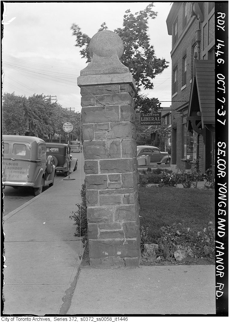
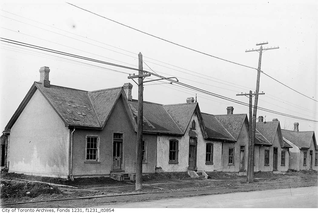
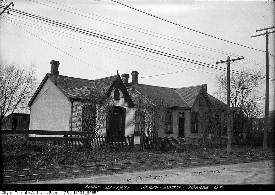
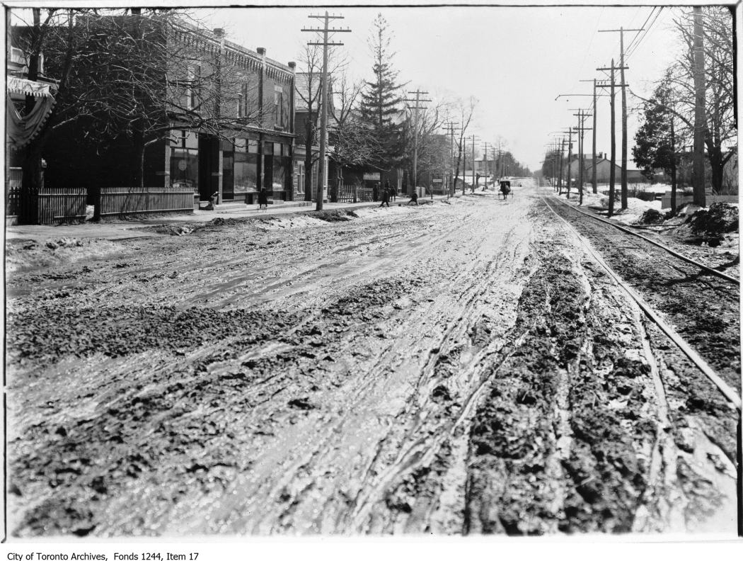
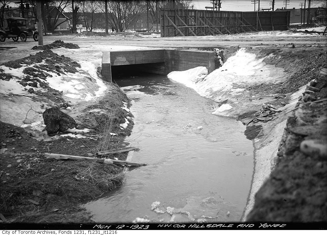
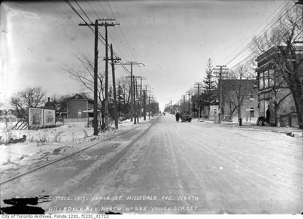
Photo locations are matched from each photo’s title against City street and address data, so some may be off. Report a wrong location