Basement flooding study areaBFA46Your areaBasement Flooding Study Areas · the City divides all of Toronto into study areas; this names yours, not a risk level
Lead in tap water samples, postal area M4J22 of 744 above 0.01 ppmYour area · M4JNon Regulated Lead Sample · Jan 7, 2014 to Oct 20, 2026
TRCA mapping is for screening, not site-specific decisions. Lead results are voluntary samples from homes in the postal area, not this address.
03What’s changing nearby
1
125 O'Connor Dr· 212 m · Site Plan · Under Review
To obtain site plan approval for the construction of a two-storey commercial building with retail at grade and office on the second floor. The proposal also looks to permit 17 vehicular and 15 bicycle parking spaces and 1 Type B loading…
File 14 178862 STE 29 SA · submitted Jun 23, 2014 · City record
2
42 Rivercourt Blvd· 49 m · Committee of Adjustment · Minor variance · Deferred
To convert the existing one-and-one-half-storey detached dwelling into a two-storey dwelling (triplex) by constructing a complete second storey addition, two-storey additions on the front, rear, and north side of the building, a front…
File A0130/25TEY · submitted Feb 10, 2025
Development Applications; Committee of Adjustment Applications · 5 registered short-term rentals within 250 m.
No. It is outside TRCA's mapped flood and shoreline hazard areas. Source: TRCA Regulation mapping 2025.
What is being built near 47 Pepler Ave?
1 active development application within 250 metres, the closest at 125 O'Connor Dr (212 m). Source: Development Applications.
When is garbage day at 47 Pepler Ave?
Collection calendar Wednesday 1. Next garbage pickup: Nov 18, 2026. Source: Solid Waste Collection Schedule.
Answers are generated from the data on this page and update when the data changes.
06From the archives
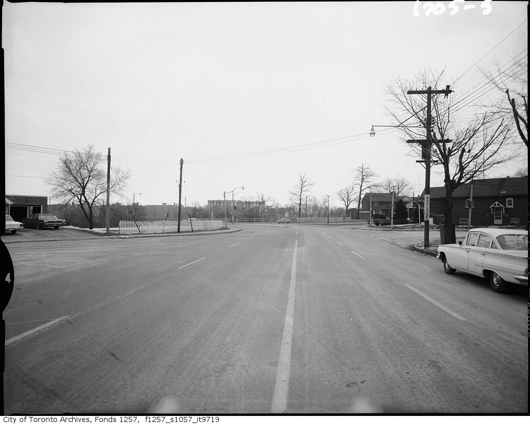
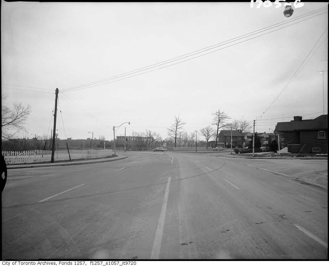
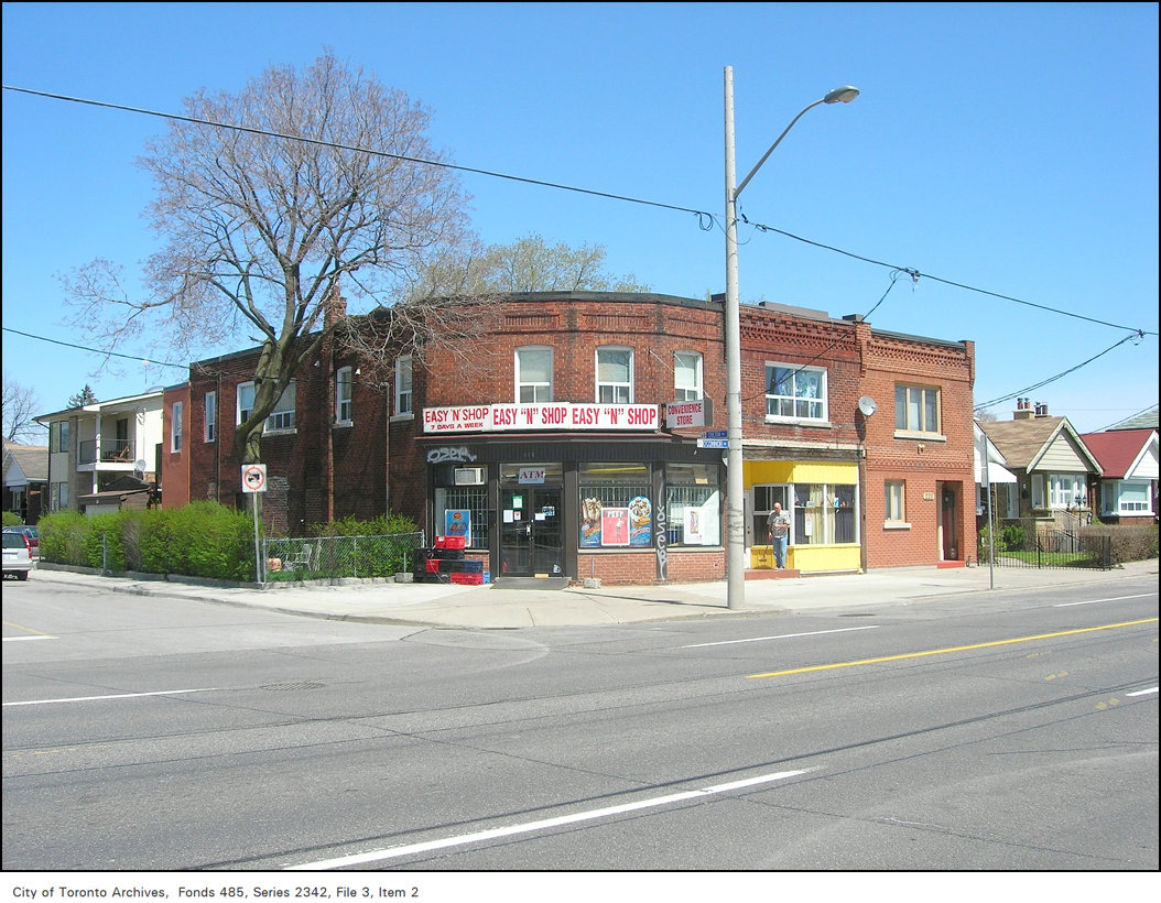
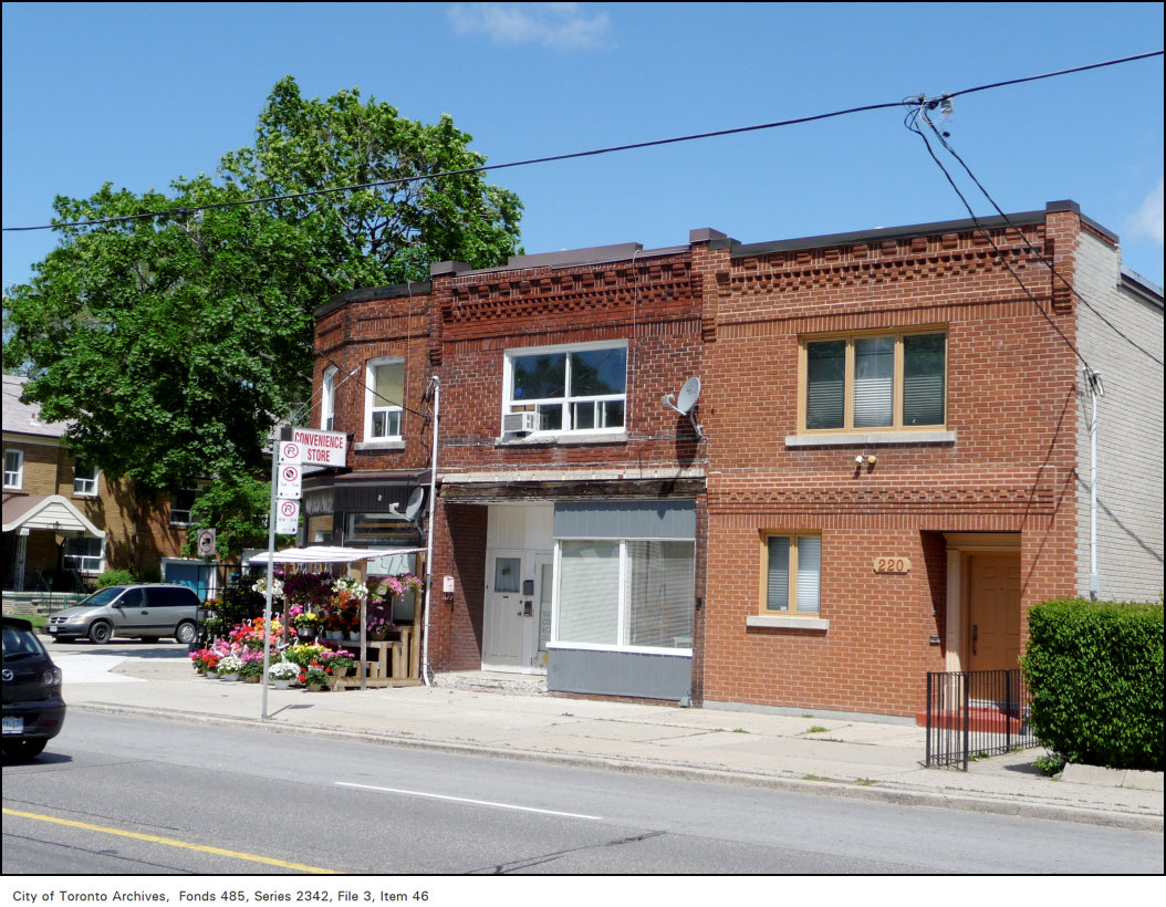
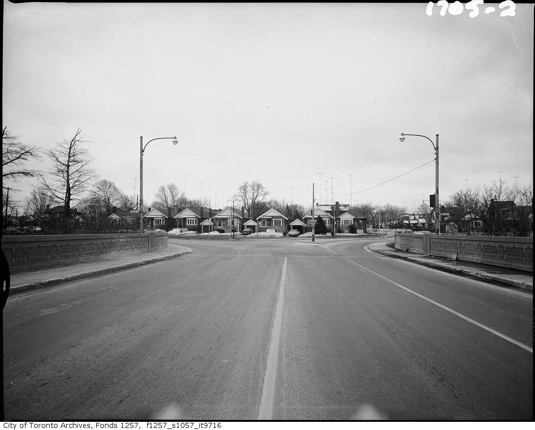
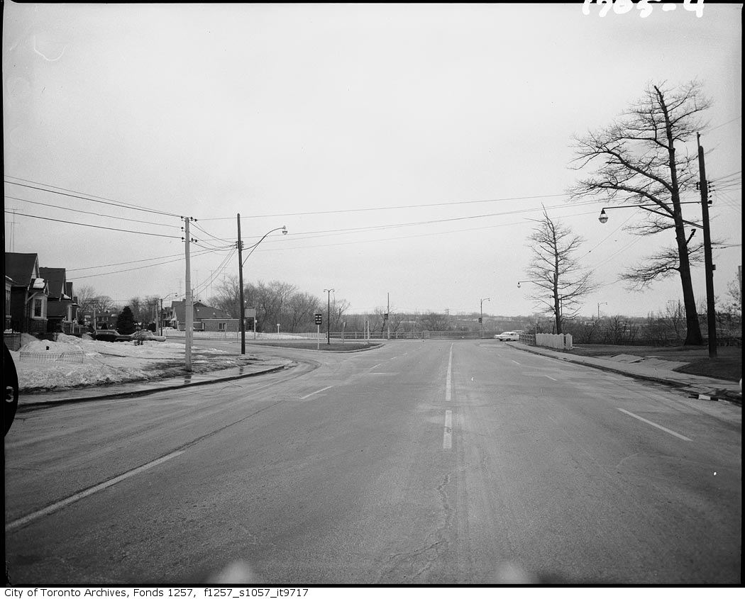
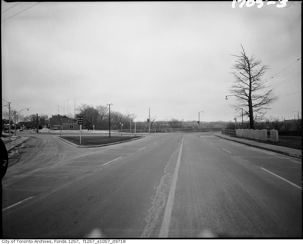
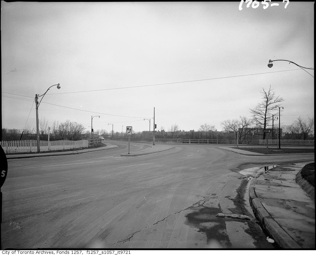
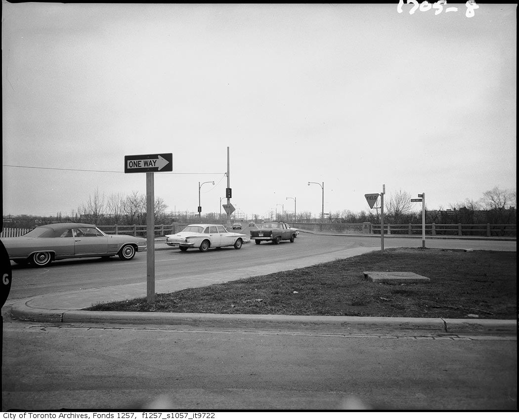
Accident scene, intersection of Pape and Donlands Avenues, looking northeast from Pape Avenue, southwest of Rivercourt Boulevard, 1960. City of Toronto Archives, Fonds 1257, Series 1057, Item 9719. 215 m away.Accident scene, intersection of Pape and Donlands Avenues, looking northeast from Pape Avenue, southwest of Rivercourt Boulevard, 1960. City of Toronto Archives, Fonds 1257, Series 1057, Item 9720. 215 m away.Easy 'N' Shop, 212 O'Connor Drive, and 214-220 O'Connor Drive, former corner stores, north side, at Chilton Road, north-east corner, 2007. City of Toronto Archives, Fonds 485, Series 2342, File 3, Item 2. 235 m away.Easy 'N' Shop, 212 O'Connor Drive, and 214-220 O'Connor Drive, former corner stores, north side, at Chilton Road, north-east corner, 2009. City of Toronto Archives, Fonds 485, Series 2342, File 3, Item 46. 235 m away.Accident scene, intersection of Pape and Donlands Avenues, looking south from Millwood Road bridge over Don Valley Parkway, 1960. City of Toronto Archives, Fonds 1257, Series 1057, Item 9716. 244 m away.Accident scene, intersection of Pape and Donlands Avenues, looking northwest from Donlands Avenue, 1960. City of Toronto Archives, Fonds 1257, Series 1057, Item 9717. 244 m away.Accident scene, intersection of Pape and Donlands Avenues, looking northwest from Donlands Avenue, 1960. City of Toronto Archives, Fonds 1257, Series 1057, Item 9718. 244 m away.Accident scene, intersection of Pape and Donlands Avenues, looking northeast from Pape Avenue, 1960. City of Toronto Archives, Fonds 1257, Series 1057, Item 9721. 244 m away.Accident Scene. Pape and Donlands Intersection. Looking northeast from Pape Ave, 1980. City of Toronto Archives, Fonds 1257, Series 1057, Item 9722. 244 m away.
Photo locations are matched from each photo’s title against City street and address data, so some may be off. Report a wrong location
We use Google Analytics cookies to see which parts of the site help people. We never send the addresses you search. Privacy
47 Pepler Ave, Toronto — address report · My Address in Toronto